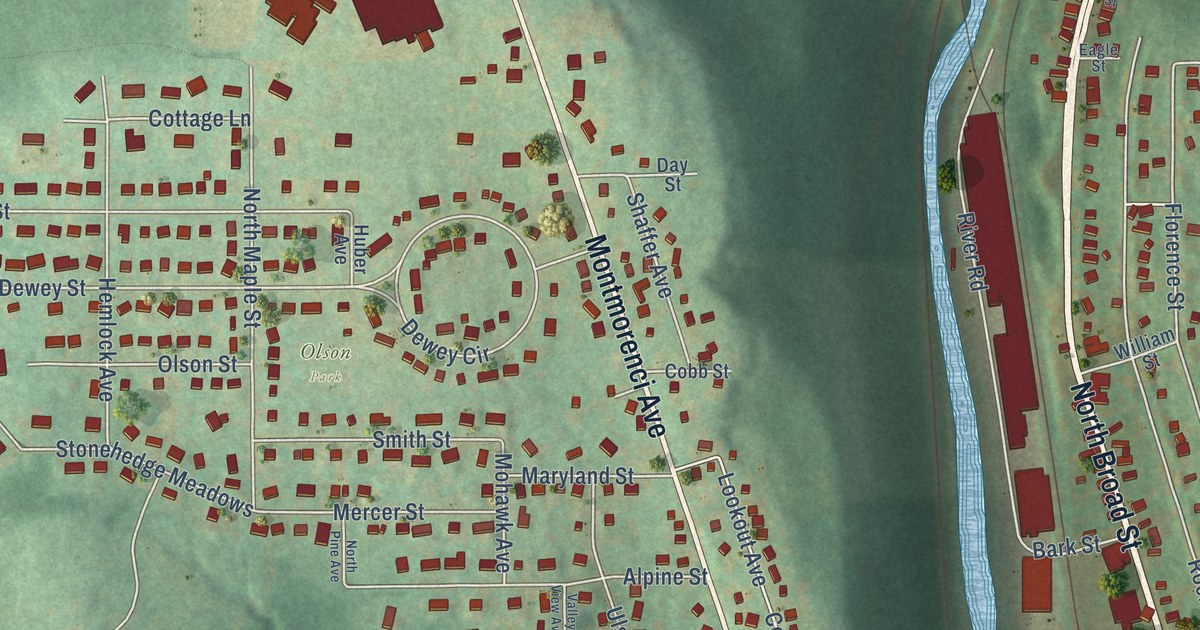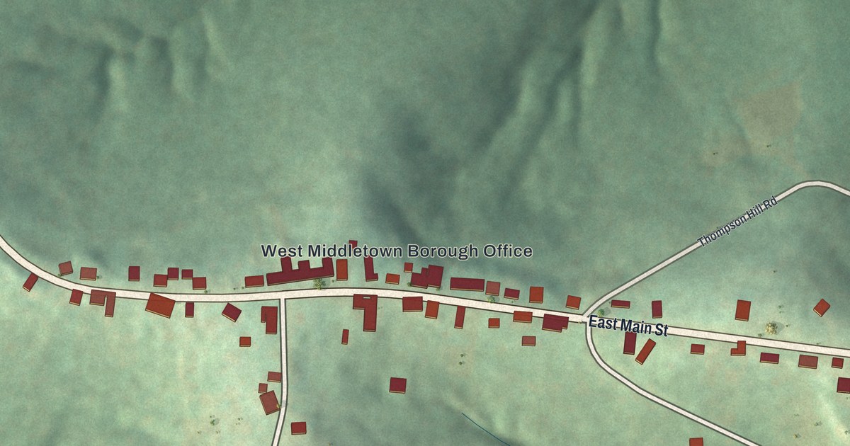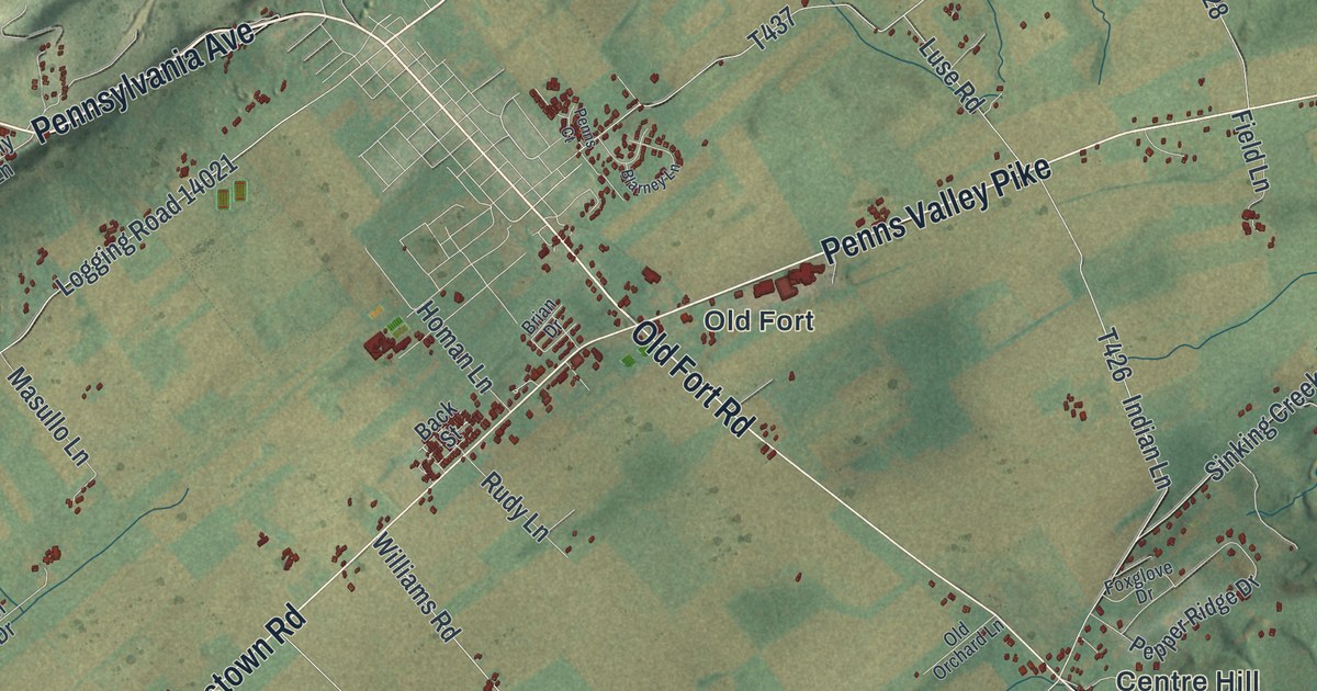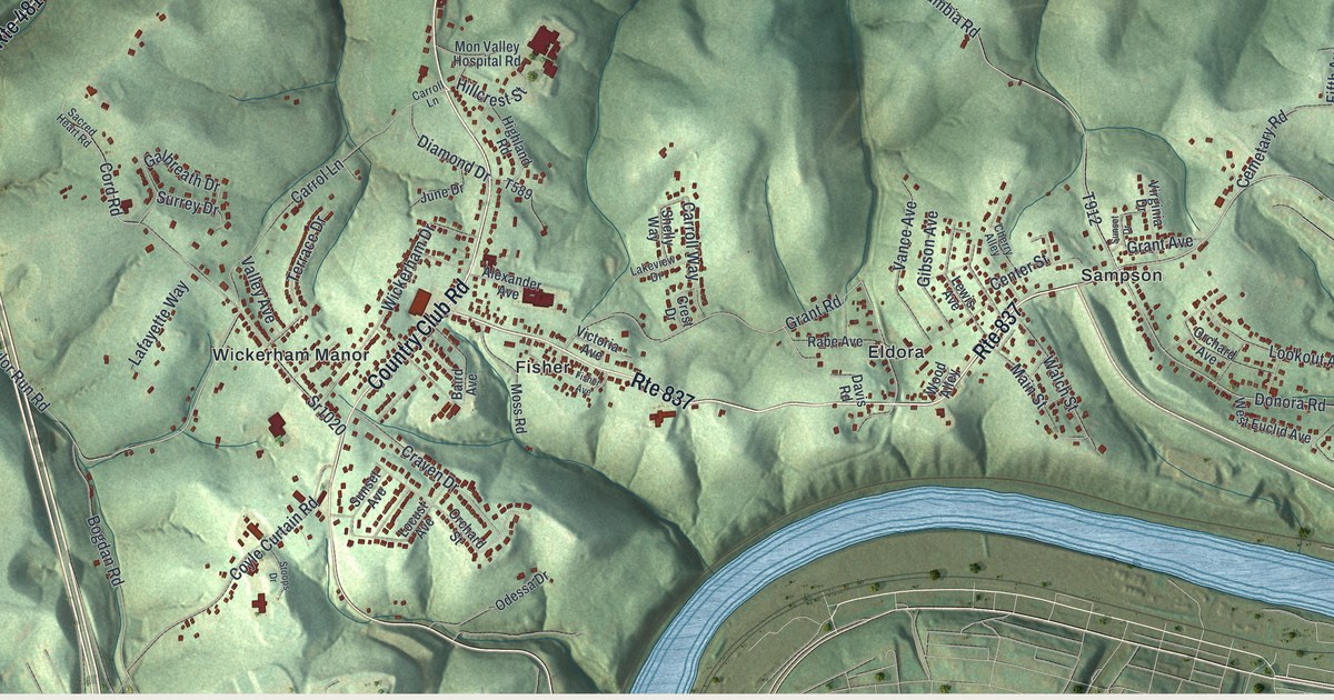
This beautifully detailed map of Carroll, Washington County, Pennsylvania was created in 2026 using aerial imagery combined with modern topographical, census, street and landmark data. It’s a one-of-a-kind view of Carroll that combines accurate data with a vintage aesthetic. The map shows every building in its true location, many of the roads carry their names, and the shaded topographic relief shows the shape of the land.
Explore an aerial view of Carroll, Washington County, Pennsylvania
On the map you’ll find Grandview, Baidland, Cracker Jack, Eldora, Fisher, Frye, Hazel Kirk, Sampson, Victory Hills, and Wickerham Manor, along with Country Club Road, Dry Run Road, and more. If you look closely you can even find your house accurately drawn in its correct location. Zoom in on the preview to look for yours.
Take a closer look at the Carroll, Washington County map
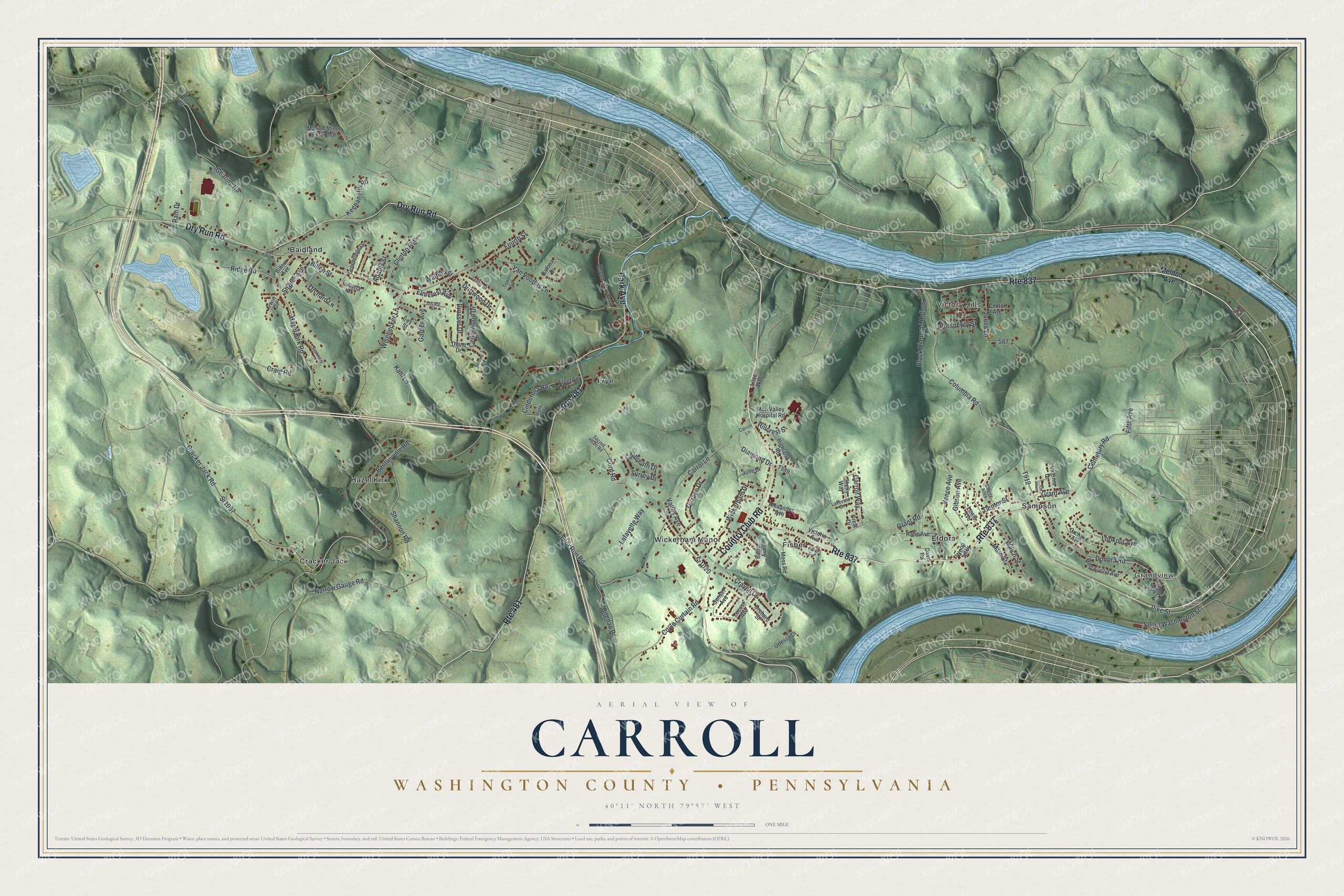
Street and place names on the Carroll, Washington County, Pennsylvania map
These names are printed on the map of Carroll, Washington County, Pennsylvania.
Places: Grandview, Baidland, Cracker Jack, Eldora, Fisher, Frye, Hazel Kirk, Sampson, Victory Hills and Wickerham Manor.
Streets and roads: Route 837, Country Club Road, Dry Run Road, Route 481, Park Avenue, Pike Street, Donora Road, Grant Road, Hillcrest Street, Columbia Road, Cord Road, Diamond Drive.
More street names, A to Z
Adams Street, Alexander Avenue, Baird Avenue, Balboa Drive, Bambi Road, Barbara Drive, Bentleyville Road, Billen Avenue, Billen Street, Black Diamond Hollow, Bogdan Road, Carrol Lane, Carroll Lane, Carroll Way, Cedarwood Drive, Cemetary Road, Center Avenue, Center Street, Cherry Alley, Cinderella Road, Clinton Avenue, Coyle Curtain Road, Cracker Jack Road, Craig Road, Craven Drive, Crest Drive, Davis Road, Diane Drive, Driftwood Drive, Elmcrest Avenue, Fifth Avenue, Fisher Avenue, Fourth Street, Front Street, Galbreath Drive, Garden Avenue, Gearing Road, Gibson Avenue, Grant Avenue, Grant Street, Greenridge Drive, Haywood Street, Hazel Kirk Road, Highland Road, Hoon Street, Irey Street, Irwin Drive, Jones Lane, June Drive, Kahl Lane, Keenan Hill Road, Lafayette Way, Lakeview Drive, Lewis Avenue, Lilac Way, Locust Avenue, Locust Street, Lookout Avenue, Lucetta Drive, Main Street, Marion Street Extended, Meldon Avenue, Mon Valley Hospital Road, Moss Road, Narrow Gauge Road, Odessa Drive, Orchard Avenue, Orchard Lane, Orchard Street, Prosperity Street, Prosser Drive, Rabe Avenue, Ram Drive, Ridge Road, Route 88, Sacred Heart Road, Sequoyah Lane, Shannon Road, Shelly Way, Snyder Avenue, South Washington Street, Sr1020, Sr1067, Stoops Drive, Sunset Avenue, Sunset Drive, Surrey Drive, Taylor Run Road, Terrace Drive, Tower Lane, Tower Street, Trolly Lane, Valley Avenue, Vance Avenue, Van Voorhis Lane, Victoria Avenue, Virginia Drive, Walch Street, Walters Street, West Euclid Avenue, Wickerham Drive, Wisebecker Lane, Wood Alley.
See the Carroll, Washington County, Pennsylvania map on a wall
The Carroll, Washington County map as an 18 x 24 inch print in a black frame.

This beautifully detailed map of Carroll, Washington County makes an attractive addition to your office, library, or den, and it can even be used to teach children the geography and history of the area. It also makes a great gift for anyone who grew up in Carroll or moved away. When you’re done exploring, click here to get your copy of the Carroll, Washington County map.