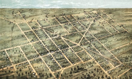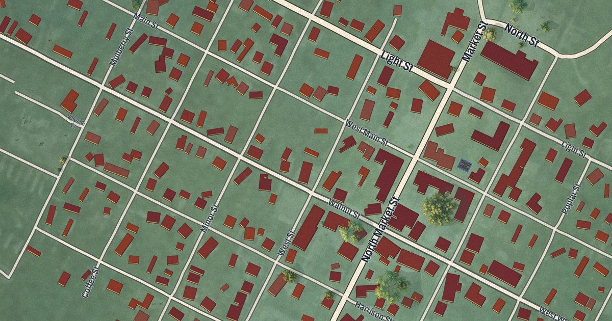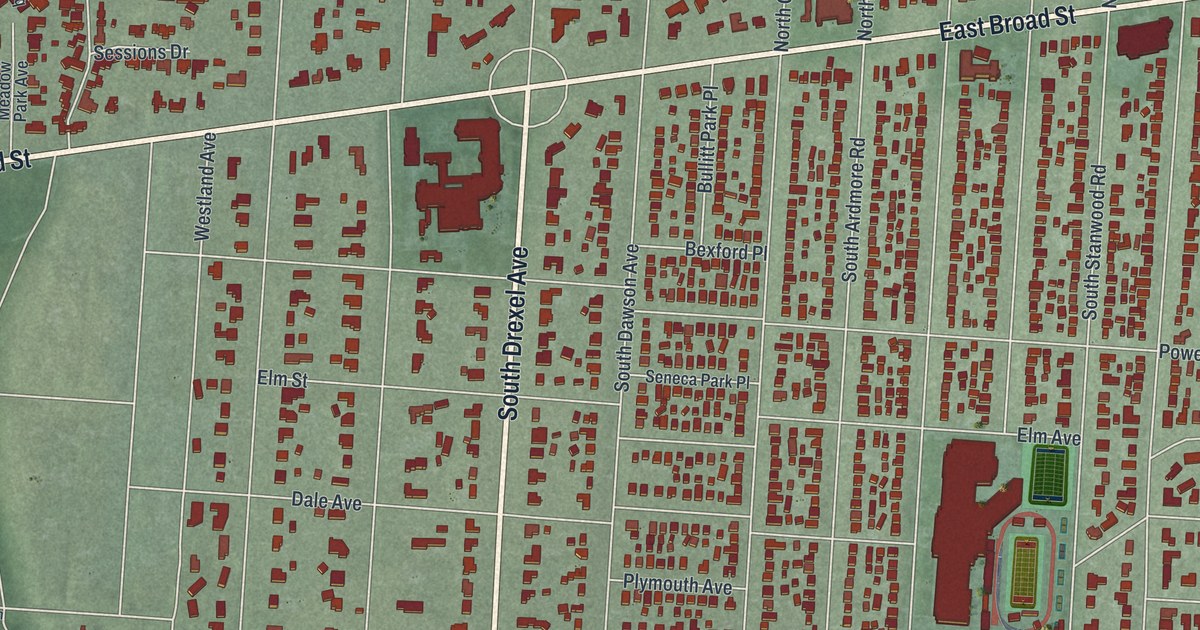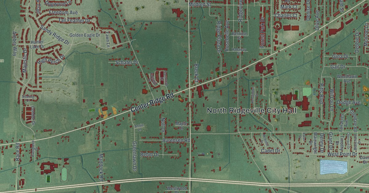
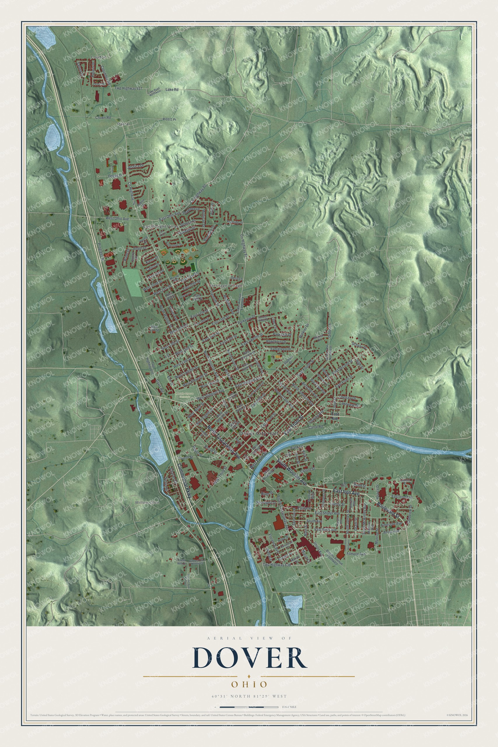
This beautifully detailed map of Dover, Ohio was created in 2026 using aerial imagery combined with modern topographical, census, street and landmark data. It’s a one-of-a-kind view of Dover that combines accurate data with a vintage aesthetic. The map shows every building in its true location, many of the roads carry their names, and the shaded topographic relief shows the shape of the land.
Explore an aerial view of Dover, Ohio
On the map you’ll find Dover City Hall, Willow Glen, Heritage Village, Dover City Park, Maple Grove Cemetery, Candlelight Villas, Loudon, and Parral, along with East Front Street, East Iron Avenue, Boulevard Street, South Wooster Avenue, and more. If you look closely you can even find your house accurately drawn in its correct location. Zoom in on the preview to look for yours.
Did you know this piece of Dover, Ohio history?
Dover was platted in 1807, and Christian Deardorff and Jesse Slingluff are honored as its founders. The town was first called Canal Dover because of its place on the Ohio and Erie Canal. It kept that name until February 12, 1916, when the city officially became simply Dover.
Take a closer look at the Dover map
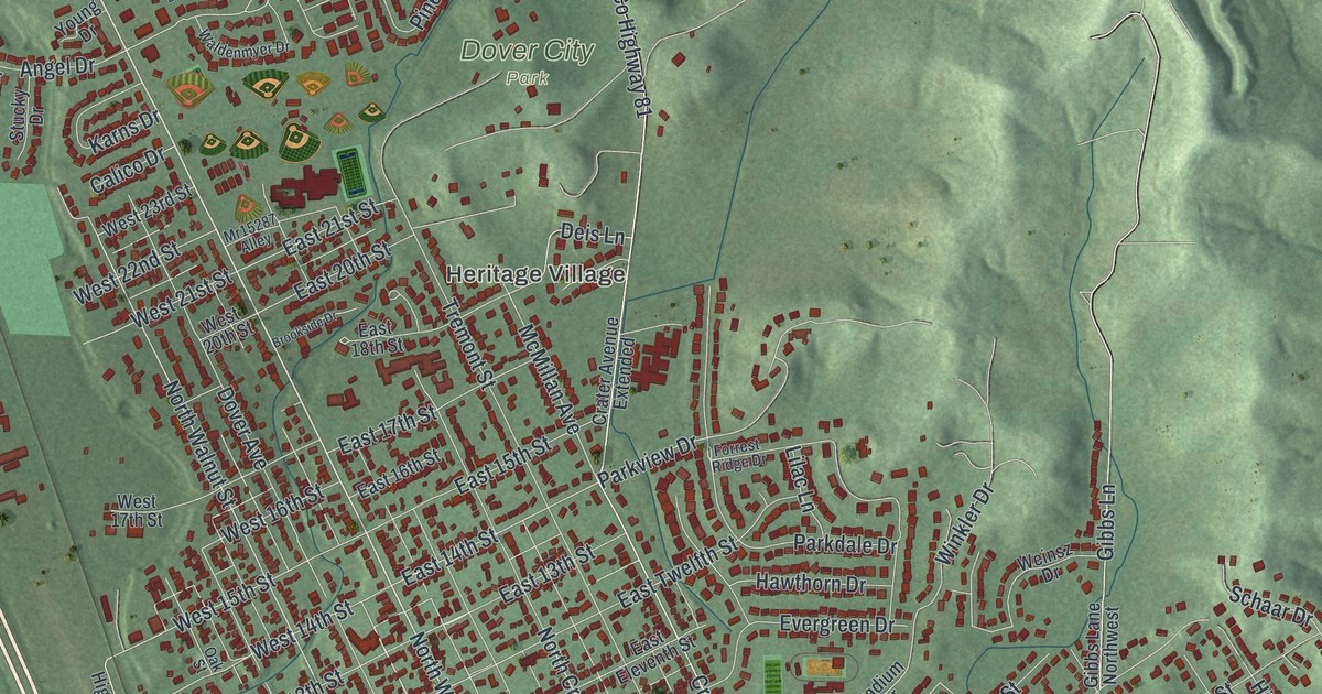
Street and place names on the Dover, Ohio map
These names are printed on the map of Dover, Ohio.
Places: Dover City Hall, Willow Glen, Heritage Village, Dover City Park, Maple Grove Cemetery, Candlelight Villas, Loudon and Parral.
Streets and roads: East Front Street, East Iron Avenue, Boulevard Street, South Wooster Avenue, North Tuscarawas Avenue, Commercial Parkway, North Wooster Avenue, South Tuscarawas Avenue, Twp Highway 636, County Highway 74, Anola Avenue, Broad Street.
More street names, A to Z
Angel Drive, Arch Street, Aspen Drive, Bank Lane, Bell Avenue, Betscher Avenue, Boat Street, Bond Street, Bowers Avenue Northwest, Brookside Drive, Buckeye Avenue, Calico Drive, Canal Road, Center Street, Charles Drive, Chelsea Drive, Cherry Street, Clubview Drive, Columbia Road, County Highway 80, County Highway 81, Crater Avenue, Crater Avenue Extended, Crest Hill Drive, Crown Road, Davis Road, Deeds Drive, Deis Lane, Depot Street, Dover Avenue, Dublin Drive, East 13th Street, East 14th Street, East 15th Street, East 16th Street, East 17th Street, East 18th Street, East 20th Street, East 21st Street, East 27th Street, East Avenue, East Eighth Street, East Eleventh Street, East Fifth Street, East Fourth Street, East Ohio Avenue, East Second Street, East Seventh Street, East Shafer Avenue, East Sixth Street, East Slingluff Avenue, East Tenth Street, East Third Street, East Twelfth Street, East Wills Avenue, Elm Street, Emerson Avenue, Evergreen Drive, Fairlane, Filmore Avenue, Florence Avenue, Forrest Ridge Drive, Fourth Street, Gibbs Lane, Gibbs Lane Northwest, Grant Street, Harger Street, Hawthorn Drive, Hemlock Avenue, High Street, Hillcrest Drive Northwest, Hospital Drive, Howe Street, James Street Northwest, Jessica Drive, Karns Drive, Lake Road, Lake Road Northwest, Lakeview Drive, Liberty Street, Lilac Lane, Lincoln Avenue, Lloyd Street, Madison Avenue, Main Street, Marion Street, Marsh Court, McMillan Avenue, Mohican Drive, Monroe Street, Mr15287 Alley, Mr15409 Alley, Mr15432 Alley, North Crater Avenue, North Cross Street, North Hill Road Northwest, North Johnson Avenue, North Walnut Street, Oakdale Drive, Oakmont Drive, Oak Street, Orion Drive, Oxford Street, Parkdale Drive, Park Street, Parkview Drive, Pinedale Drive, Pine Street, Polaris Drive, Poolside Lane, Pr1011 Pr, Progress Street, Prospect Street, Race Street, Reeves Avenue, Reporter Court, Ricksecker Street, River Street, Saint Clair Street, Saturn Drive, Schaar Drive, Schwindt Court, Seneca Drive, Shawnee Drive, South Avenue, South James Street, South McKinley Avenue, Stadium Drive, Sterling Avenue, Stucky Drive, Susan Drive, Tremont Street, Twp Highway 205, Twp Highway 417, Union Avenue, Wade Drive, Waldenmyer Drive, Wallace, Washington Street, Weinsz Drive, West 13th Street, West 14th Street, West 15th Street, West 16th Street, West 17th Street, West 20th Street, West 21st Street, West 22nd Street, West 23rd Street, West Broadway Street, West Eighth Street, West Eleventh Street, West Fifth Street, West Front Street, West Ninth Street, West Ohio Avenue, West Second Street, West Seventh Street, West Slingluff Avenue, West Tenth Street, West Third Street, West Twelfth Street, William Drive, Winkler Drive, Young Drive.
See the Dover, Ohio map on a wall
The Dover map as an 18 x 24 inch print in a black frame.

This beautifully detailed map of Dover makes an attractive addition to your office, library, or den, and it can even be used to teach children the geography and history of the area. It also makes a great gift for anyone who grew up in Dover or moved away. When you’re done exploring, click here to get your copy of the Dover map.