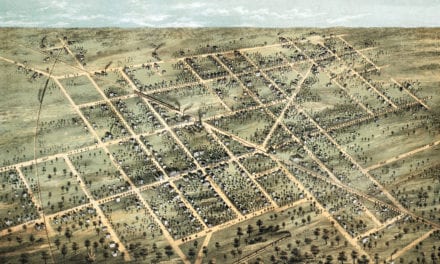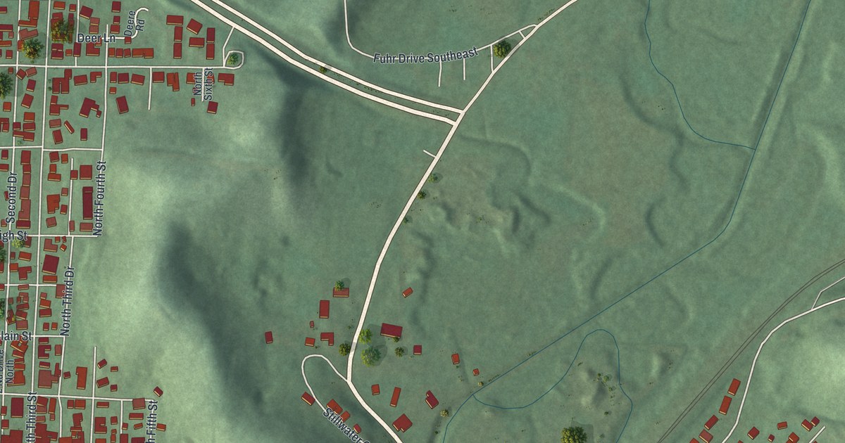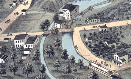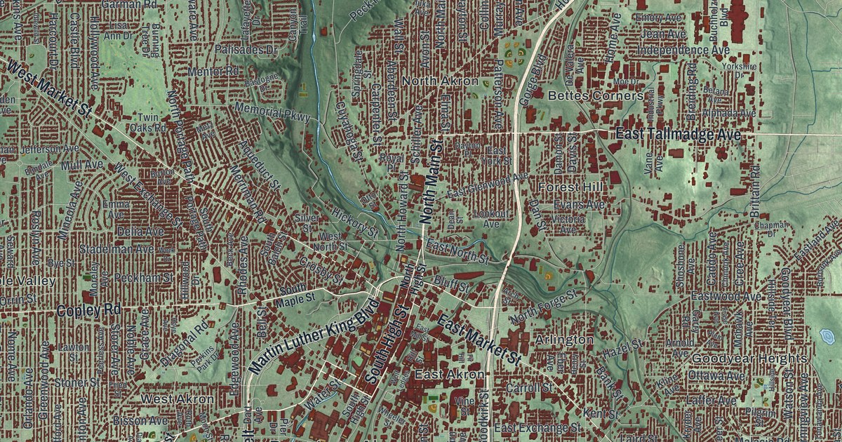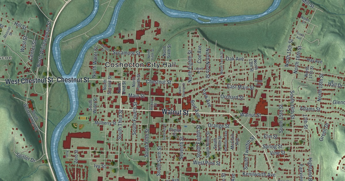
If you grew up in Coshocton, have family near Main Street or like to walk around Roscoe, this map gives you plenty to find. It's a modern aerial view of Coshocton in Coshocton County, Ohio, made from modern data and given a vintage look. Shaded green hills rise on every side of town. Two rivers meet near the top of the sheet and flow south as one. The buildings are marked in deep red, from Roscoe on the west bank to Pleasant Valley in the south. Explore the print options for Coshocton.
From Roscoe to Coshocton City Hall and out Cambridge Road
Start at Roscoe, printed on the west bank near the top left. Hill Street, High Street and School Street climb the slope there, and Center Street crosses all three. Now take West Chestnut Street east over the river. It becomes Chestnut Street and runs past Coshocton City Hall at the top of downtown. Just below, Main Street and Walnut Street pass through the thickest block of red buildings. Follow Walnut Street east until you meet Cambridge Road. It heads southeast into the hills, past Skyline Heights and Hillcrest Drive, toward the bottom right corner. Back in the middle of town, Otsego Avenue runs south beside South Lawn Cemetery and down to Pleasant Valley. Many roads are labeled, and each red shape is a building, so zoom in on the preview and look for yours.
Now go back to the top left, where the two rivers join beside Roscoe. The rivers aren't labeled, but you can't miss the blue. An Ohio historical marker in Roscoe Village says the Tuscarawas and Walhonding Rivers meet here to form the Muskingum River. The Muskingum then flows about 100 miles south to the Ohio River at Marietta. In the first half of the 1800s, people escaping slavery in Virginia crossed the Ohio River and headed north toward Canada. The marker says four Underground Railroad lines came together in Roscoe Village. One followed the Muskingum north from Marietta. From Roscoe, some went on from station to station along the canal. The canal ended at Lake Erie, where they were helped across into Canada.
Downtown has a story too. The Coshocton County Courthouse isn't labeled, but it stands on Main Street, near the printed Coshocton City Hall. A second marker there says Colonel Henry Bouquet set up the site of what's now Coshocton in 1764. The town became the county seat in 1811. Today's courthouse is the third one on that spot, built from 1873 to 1875. Its five-story tower holds a clock with four faces and the bell from the 1824 courthouse.
For someone who knows Main Street and Roscoe
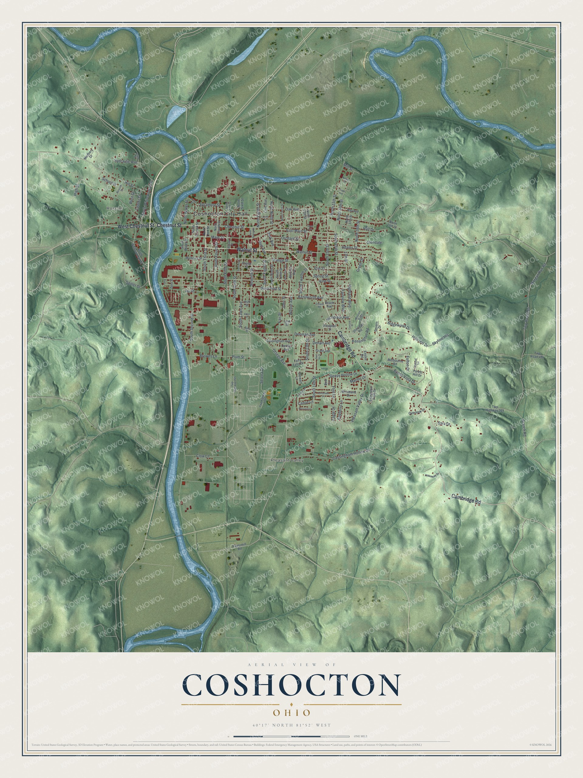
Created by KNOWOL in 2026, this Coshocton map shows the hills in soft shaded green, the rivers in blue and the buildings in deep red. The hill shading comes from USGS elevation data. The title panel reads "Aerial View of Coshocton, Ohio" with the coordinates 40°17' North, 81°52' West and a one-mile scale bar.
It suits a kitchen, a den or an office wall. It's a good gift for someone who grew up in Coshocton, went to school here or moved away from Coshocton County. Open the preview, zoom in and find the streets you know. Shop the Coshocton, Ohio map.