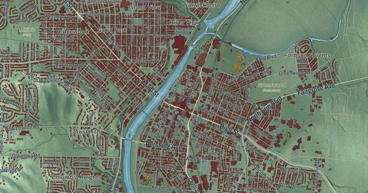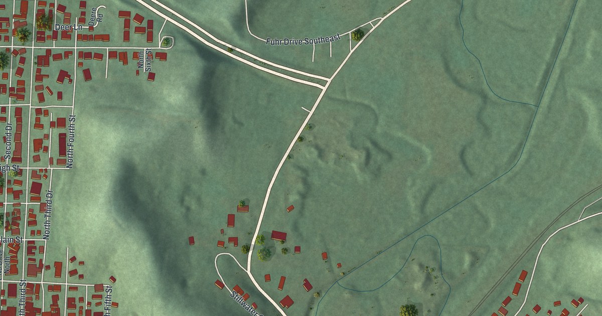
If you grew up in Dennison, or your family's story runs back to the rail yards, this map has your streets on it. It's a modern aerial view of Dennison in Tuscarawas County, Ohio, made from modern data and given a vintage feel. More than 1,700 buildings are marked in red on the valley floor. Shaded green hills rise to the north, east and south. On the west side, a creek curves around the edge of town, though it isn't labeled. Explore the print options for Dennison.
Hanna Street, Center Street and the Railway Chapel
Start at McCluskey Park, on the left side of the sheet by the creek. Hanna Street runs north and south just beside it. Follow Hanna Street south past Sherman Street to Grant Street and Center Street. Now turn east on Center Street. Just below it, Race Street and Dennison Yard Circle run past Peter's Park. Keep going east and Center Street bends up to meet Stillwater Avenue and Jewett Avenue. From there, Jewett Avenue and Johnson Avenue head southeast side by side. McCook, McCrea, Miller and Ohio Avenues cross between them. Toward the lower right, you'll find Thornwood Park, printed off Johnson Avenue. Many roads are labeled, and each red shape is a building, so zoom in on the preview and look for yours.
Dennison was founded in 1865 as a railroad town. It grew into the second largest rail center for the Pennsylvania Railroad. An Ohio historical marker at the First Presbyterian Church tells how the town got its first church. W.W. Card, the railroad superintendent, saw a spiritual need in the town. He got the land donated. He found money from railway officials, and labor and materials from the railroad. Railroad workers made the furniture. The walnut pews were built by the Dennison Car Shops, and their backs flip over, like the seats in a passenger car. The church was dedicated in April 1871. Its historic name is the Railway Chapel.
The chapel isn't labeled on the map, but it stands at 301 Grant Street, and Grant Street is printed. The depot is at 400 Center Street. A second marker there says the yard sat exactly halfway between Pittsburgh and Columbus. People called it the Altoona of the Pan Handle. From 1900 to 1921, more than 3,000 people worked in the shops. A bitter strike in 1922 led the railroad to cut back, and the shops were slowly closed. The last passenger train stopped in 1970. In 1992, Ohio Central Railroad Systems brought the line back as the Columbus and Ohio River Railroad.
For anyone with roots along Center Street in Dennison
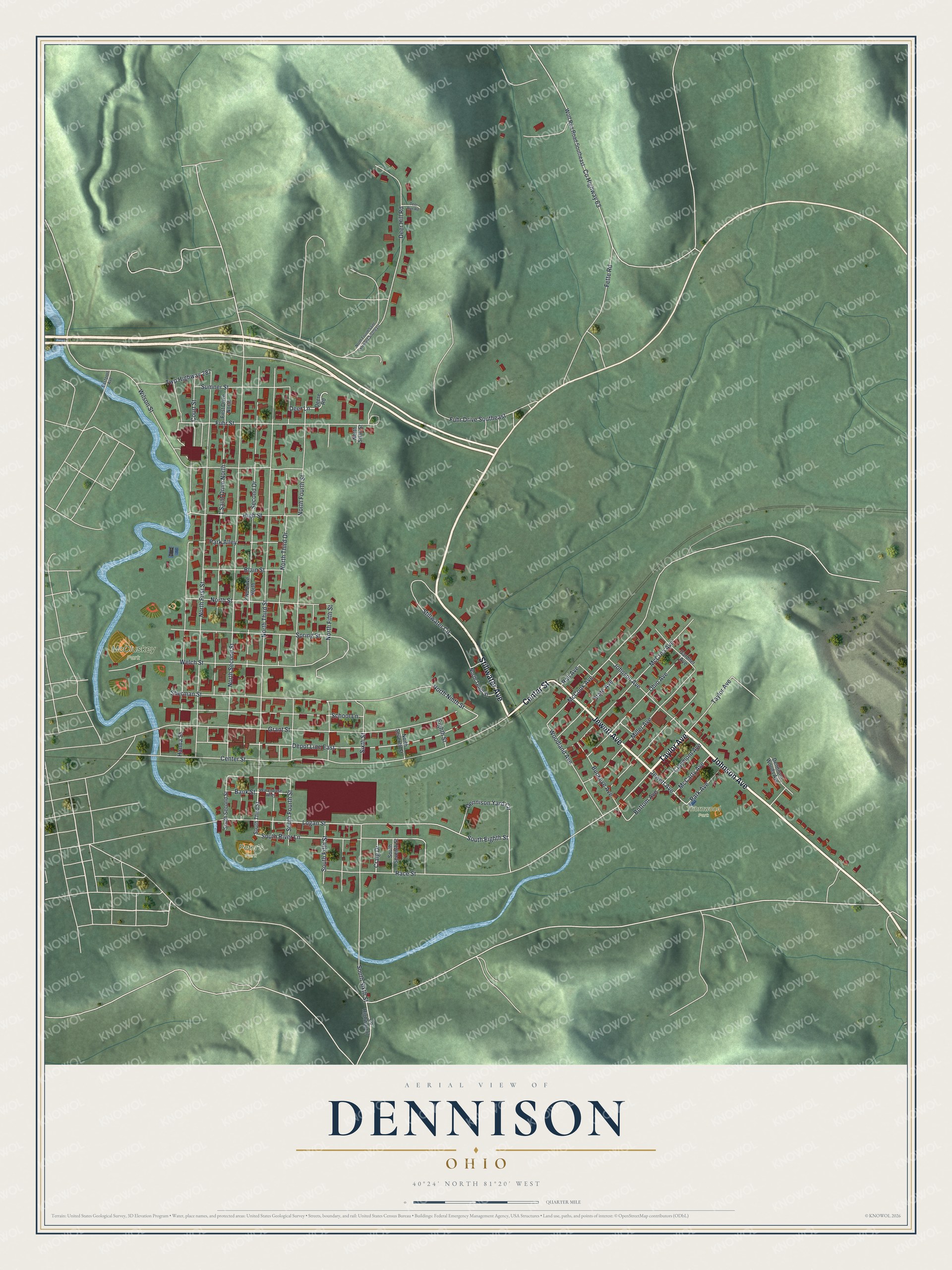
Created by KNOWOL in 2026, this Dennison map shows the town in deep red against soft green hills. The hill shading comes from USGS elevation data. The title panel reads "Aerial View of Dennison, Ohio," with 40°24' North, 81°20' West and a quarter-mile scale bar.
It suits a den, an office or a hallway lined with old railroad photos. It's a thoughtful gift for someone who grew up here, went to school on North Third Street, or moved away and misses the valley. Open the preview, zoom in and find the block you know. Shop the Dennison, Ohio map.