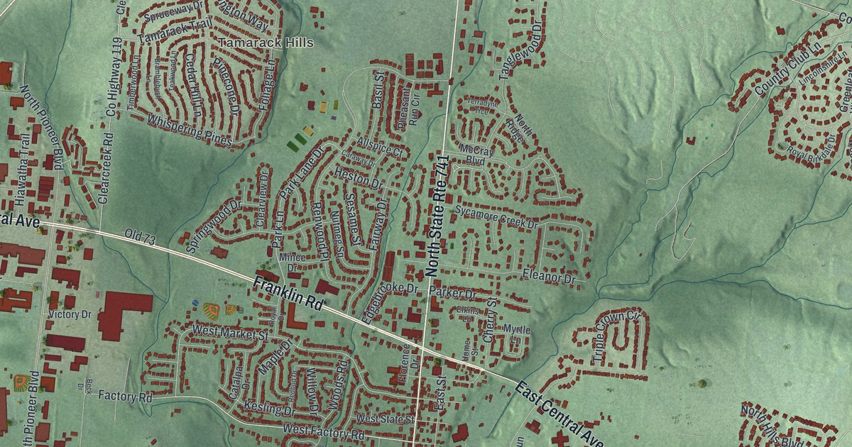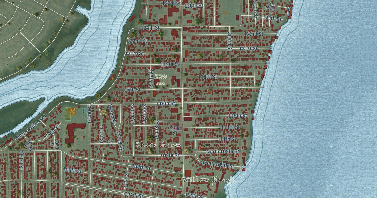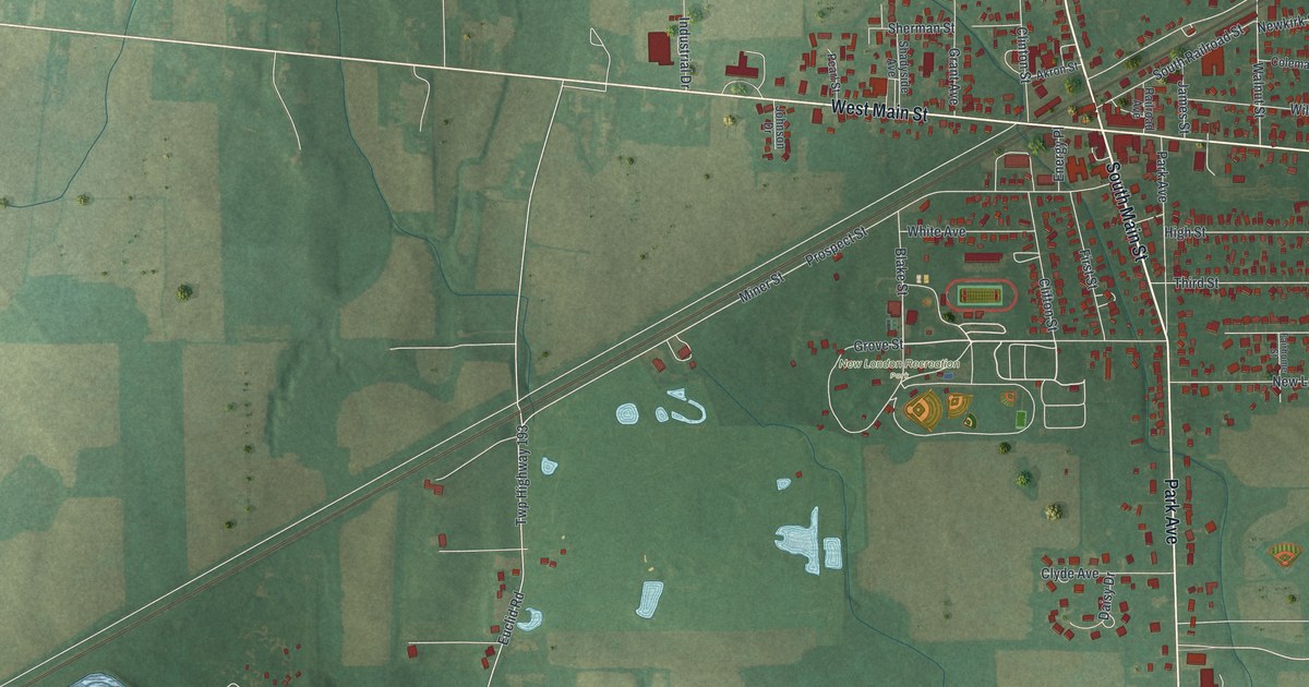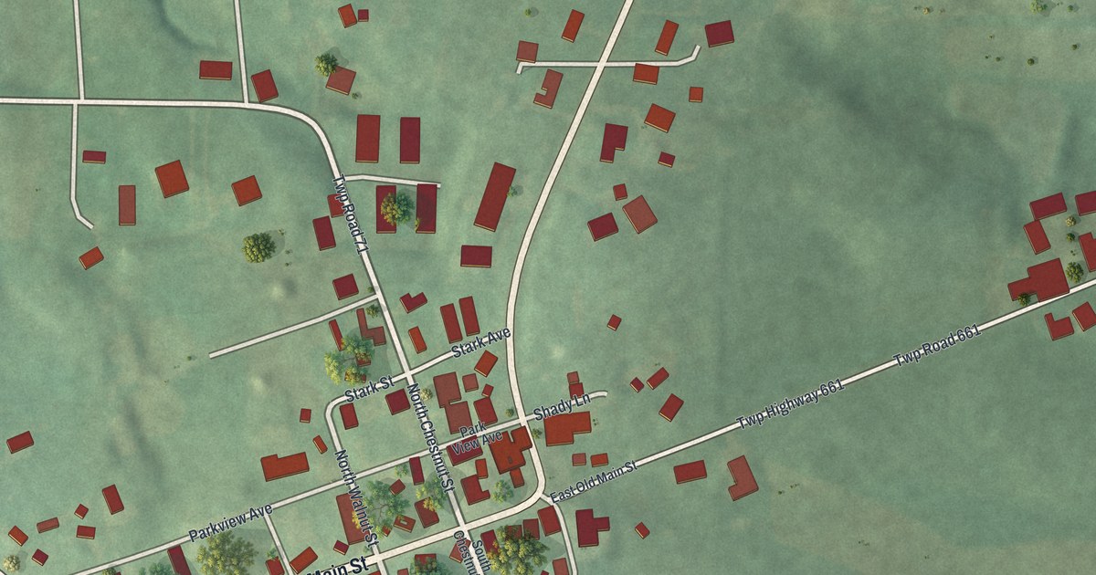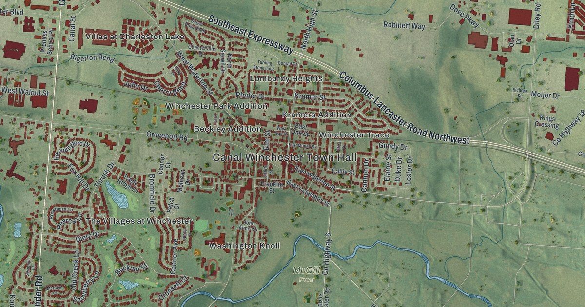
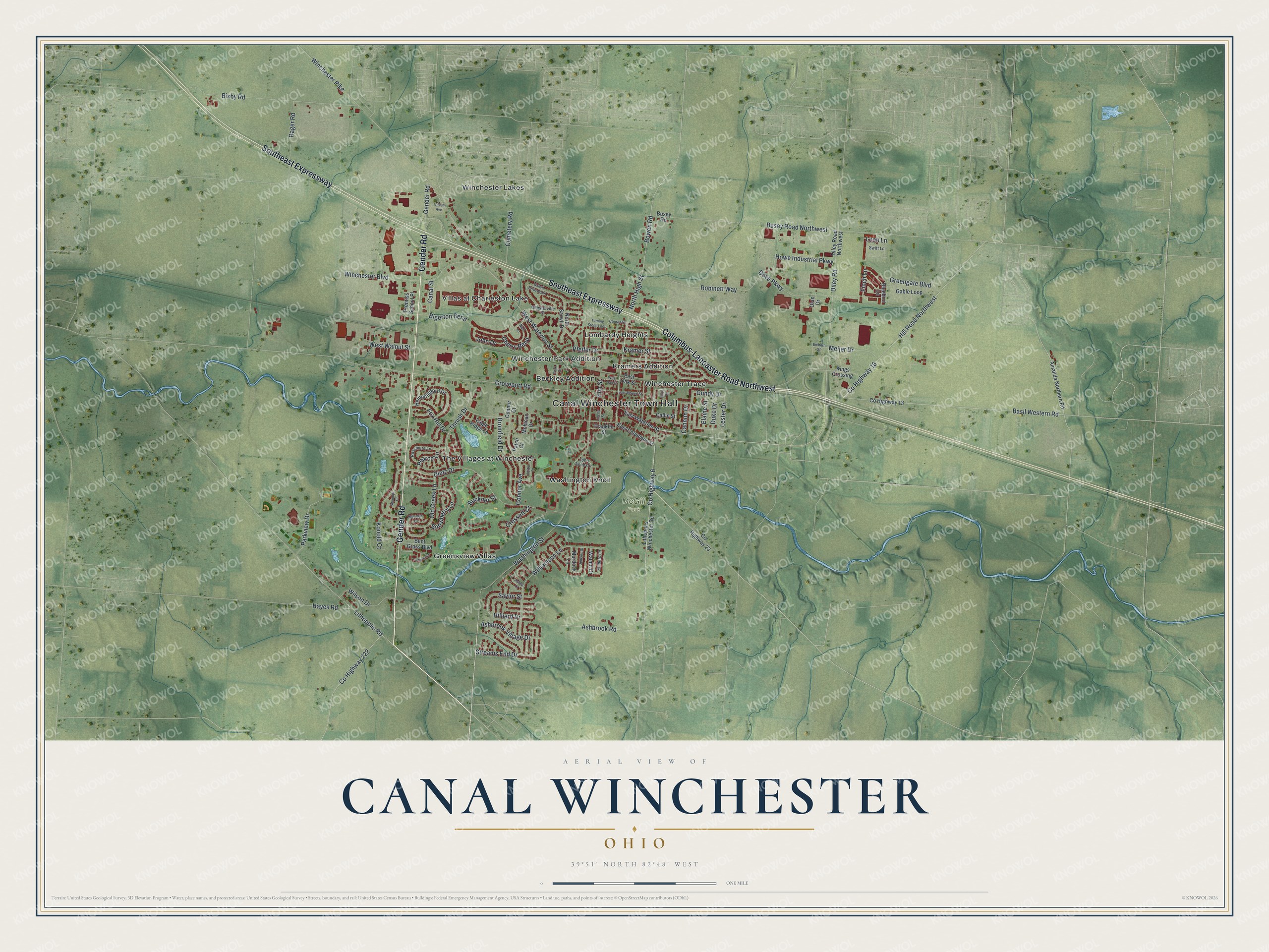
This beautifully detailed map of Canal Winchester, Ohio was created in 2026 using aerial imagery combined with modern topographical, census, street and landmark data. It’s a one-of-a-kind view of Canal Winchester that combines accurate data with a vintage aesthetic. The map shows every building in its true location, many of the roads carry their names, and the shaded topographic relief shows the shape of the land.
Explore an aerial view of Canal Winchester, Ohio
On the map you’ll find Canal Winchester Town Hall, McGill Park, Beckley Addition, Greensview Villas, Kramers Addition, Lombardy Heights, The Villages at Winchester, Villas at Charleston Lake, Washington Knoll, Winchester Lakes, Winchester Park Addition, Winchester Trace, and more. If you look closely you can even find your house accurately drawn in its correct location. Zoom in on the preview to look for yours.
Did you know this piece of Canal Winchester, Ohio history?
Builders of the Ohio and Erie Canal cut across Reuben Dove’s wheat field. Dove wanted to sue the state. Canal workers talked him into laying out a town instead. In 1828, Dove and John Colman founded Winchester, named for his father’s hometown in Virginia.
Take a closer look at the Canal Winchester map
Street and place names on the Canal Winchester, Ohio map
These names are printed on the map of Canal Winchester, Ohio.
Places: Canal Winchester Town Hall, McGill Park, Beckley Addition, Greensview Villas, Kramers Addition, Lombardy Heights, The Villages at Winchester, Villas at Charleston Lake, Washington Knoll, Winchester Lakes, Winchester Park Addition and Winchester Trace.
Streets and roads: Gender Road, Southeast Expressway, Columbus-Lancaster Road Northwest, Hill Road Northwest, County Highway 18, North High Street, Bowen Road, County Highway 6, Kramer Street, Basil Western Road, Lester Drive, Groveport Road.
More street names, A to Z
Amanda Northern Road, Ashbrook Road, Ashbrook Village Drive, Ashlar Court, Barb Lane, Bent Grass Boulevard, Bigerton Bend, Bixby Road, Bluebird Lane, Bromfield Drive, Buckner Street, Busey Road, Busey Road Northwest, Callie Street, Canal Street, Cannon Drive, Cemetery Road, Cherry Bend, Chesterville Drive, Connor Avenue, Connor Court, Conrad Drive, County Highway 13, County Highway 23, County Highway 222, Crossett Court, Dietz Drive, Diley Road, Diley Road Northwest, Dove Parkway, Duke Drive, Eagle Ridge Lane, East Columbus Street, East Mound Street, East Oak Street, East Waterloo Street, Eichorn Street, Elaine Street, Eliza Drive, Elm Street, Embers Lane, Fairway Lane, Finch Lane, Fox Hill Drive, Franklin Street, Gable Loop, Greengate Boulevard, Gundy Drive, Hayes Road, Hemmingford Drive, Hilliard Drive, Howe Industrial Parkway, Jenkins Drive, John Anne Circle, John Drive, Kings Crossing, Konold Court, Liberty Street, Lithopolis Road, Lithopolis Winchester Road, Loon Lane, Meijer Drive, Meriden Court, Mohican Drive, Murdock Lane, North Sarwil Drive, Olan Drive, Old Creek Lane, Park Street, Parkview Drive, Patch Court, Pearce Lane, Pfeifer Drive, Porter Drive, Prentiss School Place, Rager Road, Robinett Way, Rossmore Lane, Sarwil Drive North, Saylor Street, Seymour Court, Snowberry Lane, Streams End Drive, Swift Lane, Thrush Drive, Trillium Avenue, Turning Stone Loop, Walnut Drive, Washington Street, West Oak Street, West Walnut Street, West Waterloo Street, Williamson Lane, Wilson Drive, Winchester Boulevard, Winchester Pike.
See the Canal Winchester, Ohio map on a wall
The Canal Winchester map as an 18 x 24 inch print in a black frame.

This beautifully detailed map of Canal Winchester makes an attractive addition to your office, library, or den, and it can even be used to teach children the geography and history of the area. It also makes a great gift for anyone who grew up in Canal Winchester or moved away. When you’re done exploring, click here to get your copy of the Canal Winchester map.