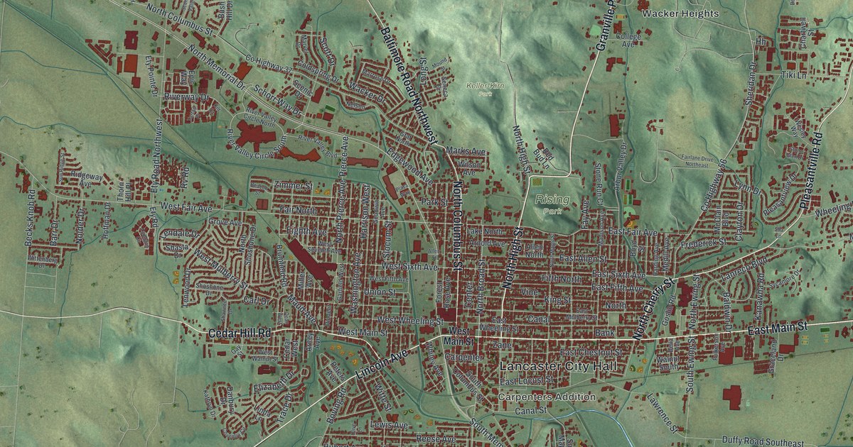
If you grew up in Lancaster, walked downtown along Main Street, or still have family near Rising Park, this map gives you plenty to find. It's a modern aerial view of Lancaster in Fairfield County, Ohio, made from modern data and given a vintage artistic feel. The city fills the middle of the sheet, with more than 21,000 buildings drawn in deep red. Roads reach out from downtown in every direction. Green, shaded hills rise on all sides. Explore the print options for Lancaster.
From Lancaster City Hall to Rising Park and East Main Street
Start at Lancaster City Hall, near the middle of the sheet. Carpenters Addition sits just below it. A little farther south and east, you'll find Whites. Now follow East Main Street east. It runs past the edge of town and out toward Marietta Road Northeast. Back downtown, North Broad Street heads up from Main. Take Granville Pike north and you'll pass Rising Park. Near the top of the sheet are Wacker Heights and Keller-Kirn Park. Baltimore Road Northwest angles off to the upper left, and Cedar Hill Road runs out to the west. To the south, South Broad Street heads down toward Stump Hollow Road Southeast. Many of the roads are labeled, and each red shape is a building, so zoom in on the preview and look for yours.
How Zane's Trace brought settlers to Lancaster
Lancaster's story starts with a road. Colonel Ebenezer Zane fought in the Revolutionary War, and he knew how to build roads. In 1796, Congress let him cut one into the Northwest Territory. It was called Zane's Trace, and it opened in 1797. It ran from Wheeling, then part of Virginia, to Limestone, Kentucky, on the Ohio River. That town is now Maysville. As pay for the work, Zane got land where the trace crossed three rivers: the Muskingum, the Hocking and the Scioto. The Ohio History Connection says the trace brought settlers into Ohio, Lancaster among them.
An 1877 county history picks up from there. It says Zane gave a few lots to tradesmen who agreed to build cabins and go to work at their trades. Things moved fast. By the spring of 1801, the book says, the streets and alleys in the middle of town had taken the shape they still had in 1877. The place was first called New Lancaster, for the many early settlers who came from Lancaster, Pennsylvania. Zoom in on the tight grid around Lancaster City Hall, where a street labeled Zane runs east through the center. The Zane's Trace marker stands on East Wheeling Street, at the old East Elementary School. It says the trace crossed the school playground from one corner to the other.
For anyone who knows Rising Park and Main Street
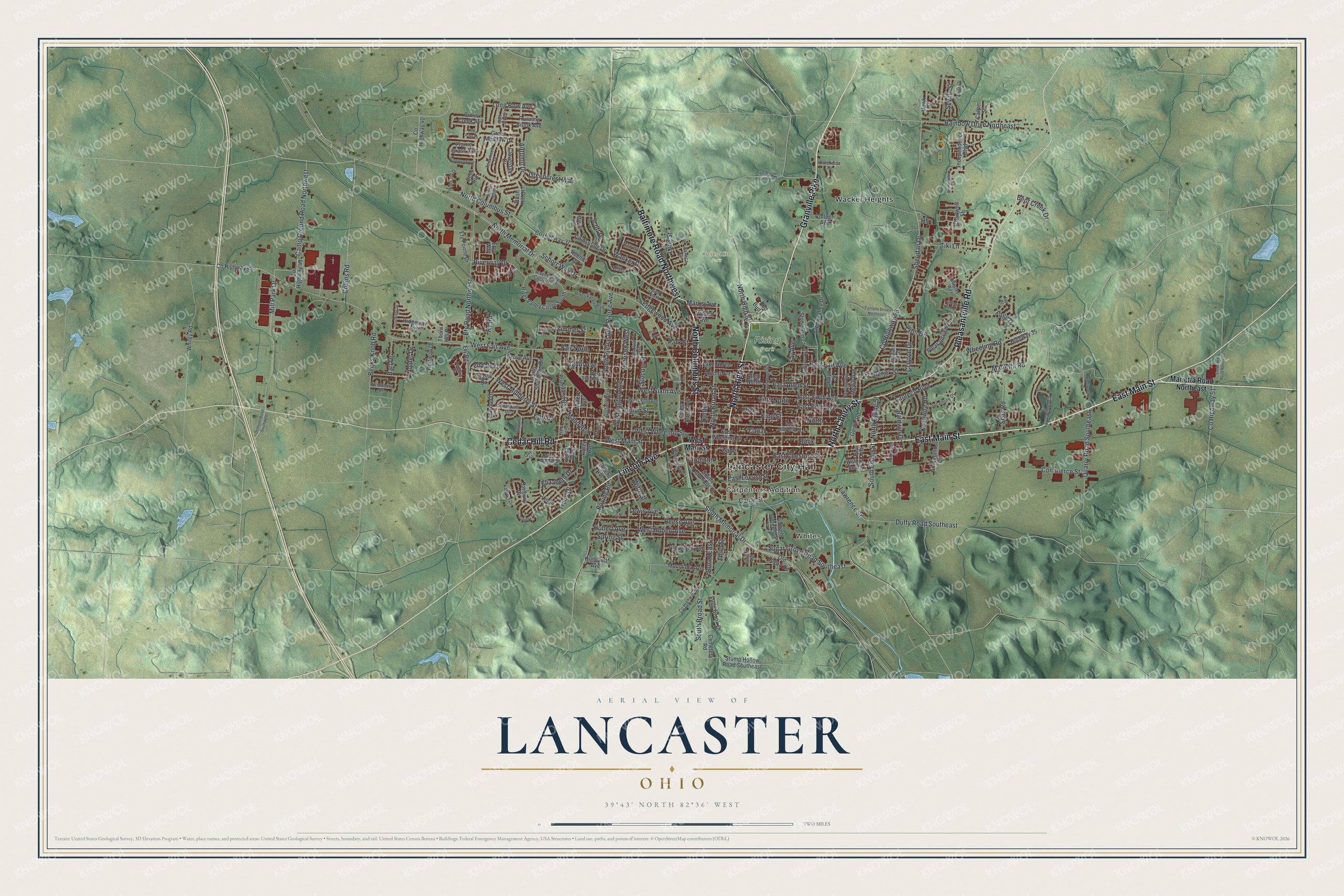
Created by KNOWOL in 2026, this map of Lancaster fits a living room, a home office or a den. The shaded hills come from USGS elevation data, and the buildings are drawn in deep red. The title panel reads "Aerial View of Lancaster, Ohio," with the coordinates 39°43' North, 82°36' West and a two-mile scale bar.
It's a thoughtful gift for anyone who grew up in Lancaster, went to Lancaster High School, or moved away and still has family in Fairfield County. Open the preview, zoom in and find the streets you know. Shop the Lancaster, Ohio map.