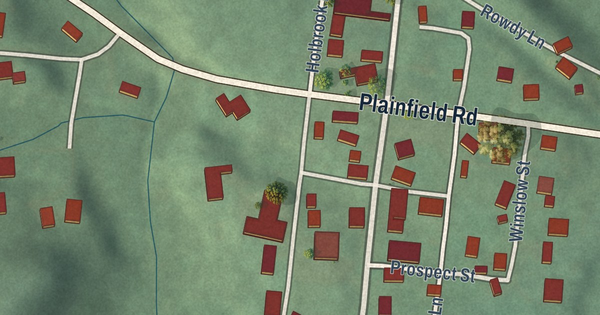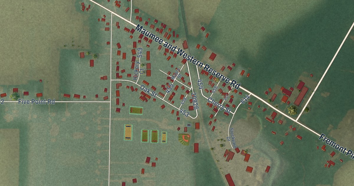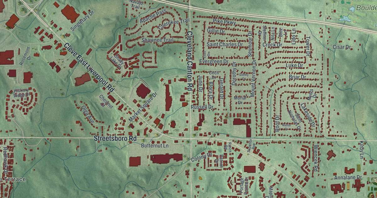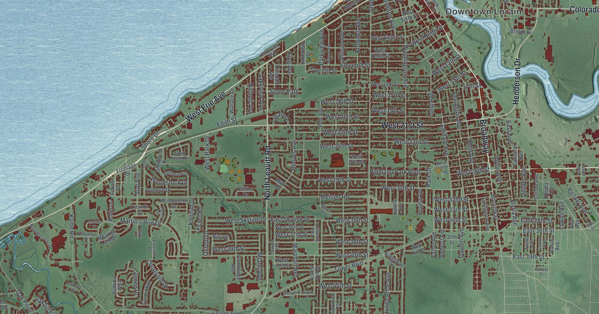
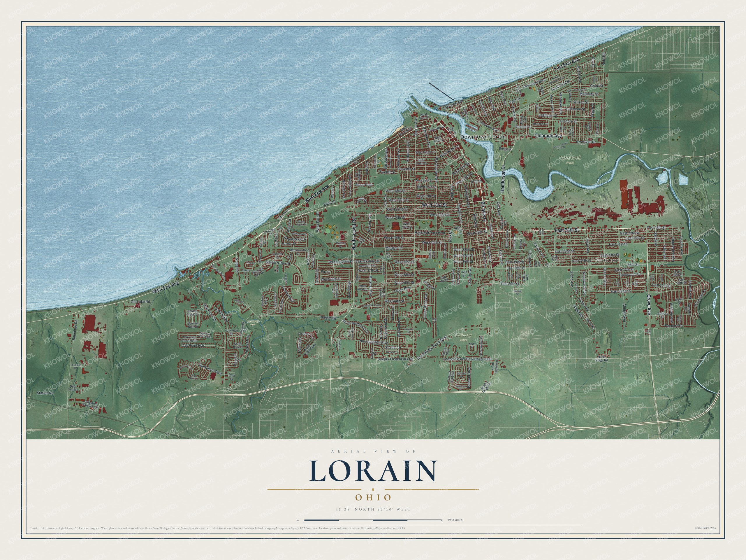
This beautifully detailed map of Lorain, Ohio was created in 2026 using aerial imagery combined with modern topographical, census, street and landmark data. It’s a one-of-a-kind view of Lorain that combines accurate data with a vintage aesthetic. The map shows every building in its true location, many of the roads carry their names, and the shaded topographic relief shows the shape of the land.
Explore an aerial view of Lorain, Ohio
On the map you’ll find Downtown Lorain, South Lorain, Calvary Park, Cromwell Park, Kennedy Park, and Broadway, along with West Erie Avenue, Grove Avenue, East 28th Street, East Erie Avenue, West 21st Street, North Leavitt Road, and more. If you look closely you can even find your house accurately drawn in its correct location. Zoom in on the preview to look for yours.
Did you know this piece of Lorain, Ohio history?
Novelist Toni Morrison was born in Lorain and later won the Nobel Prize. She set The Bluest Eye, her first novel, in the city. In it she pictured a growing Ohio town with concrete side streets, sitting beside a calm blue lake.
Take a closer look at the Lorain map
Street and place names on the Lorain, Ohio map
These names are printed on the map of Lorain, Ohio.
Places: Downtown Lorain, South Lorain, Calvary Park, Cromwell Park and Kennedy Park.
Streets and roads: West Erie Avenue, Grove Avenue, East 28th Street, Broadway, East Erie Avenue, West 21st Street, North Leavitt Road, Colorado Avenue, Henderson Drive, Cooper Foster Park Road, Cooper Foster Park Road West, 36th Street.
More street names, A to Z
7 Pines Drive, 17th Street, 37th Street, Ada Avenue, Allison Avenue, Amherst Avenue, Andover Avenue, Apple Avenue, Ashland Avenue, Baldwin Boulevard, Baumhart Road, Bayberry Road, Beavercrest Drive, Bellflower, Black River Lane, Briarwood Drive, Bridge Drive, Brownell Avenue, Buck Horn Boulevard, Caferro Drive, California Avenue, Cambridge Avenue, Camden Avenue, Canton Avenue, Cardinal Court, Caroline Avenue, Carrie Drive, Cedar Drive, Charleston Avenue, Cherrywood Drive, Cleveland Boulevard, Clifton Avenue, Clinton Avenue, Clovelly Drive, Collins Drive, Connecticut Avenue, Coopers Trail, Courtyard Drive, Crehore Street, Cromwell Drive, Dakota Avenue, Dale Avenue, Dallas Avenue, Dannie Drive, Day Drive, Dayton Avenue, Deer Trail Lane, Denver Avenue, East 29th Street, East 30th Street, East 31st Street, East 32nd Street, East 33rd Street, East 34th Street, East 35th Street, East 36th Street, East 37th Street, East 38th Street, East 39th Street, East 40th Street, East 41st Street, East 42nd Street, East Avenue, Eastlawn Street, Eastman Drive, East Skyline Drive, East Street, Edgewood Drive, Edith Street, Eleventh Street, Elyria Avenue, Estelle Avenue, Euclid Avenue, Fairless Drive, Fairway Drive, Falbo Avenue, Fields Way, Florida Avenue, Forest Hill Drive, Forest Lane, Fourth Street, Freedom Place, Frontage Street, Fulmer Drive, Fulton Road, Garfield Boulevard, Gargasz Drive, Gary Avenue, Globe Avenue, Goble Drive, Grant Street, Gregus Avenue, Grenoble Drive, Hafely Drive, Hamilton Avenue, Hancock Street, Harborview Boulevard, Harriet Street, Herbert Drive, Hidden Creek Drive, Highland Park Boulevard, Hillsdale Avenue, Homewood Drive, Hoover Boulevard, Idaho Avenue, Industrial Parkway Drive, Iowa Avenue, Ivanhoe Drive, Jaeger Road, Jenee Drive, Jones Drive, Kansas Avenue, King Avenue, Kingsway Drive, Kneirim Drive, Kolbe Road, Lakeside Avenue, Lakeview Avenue, Lakeview Drive, Larkmoor Street, Laurel Road, Leroy Street, Lexington Avenue, Livingston Avenue, Long Avenue, Longbrook Road, Lorain Drive, Louisiana Avenue, Lowell Avenue, Lucinda Court, Maine Avenue, Maple Drive, Maple Road, Mark Drive, Marshall Avenue, Martin's Run Drive, Maurer Drive, McKinley Street, Meadow Lane, Meadow Lark Drive, Meister Road, Miami Avenue, Michigan Avenue, Middle Ridge Road, Mildred Avenue, Missouri Avenue, Narragansett Boulevard, Nebraska Avenue, Nevada Avenue, New Jersey Avenue, Nichols Avenue, Norfolk Avenue, North Drive, North Jefferson Boulevard, North Nantucket Drive, North Pointe Parkway, North Ridge Road, North Ridge Road West, Oakcrest Drive, Oakdale Avenue, Oakhill Boulevard, Oak Point Ests, Oak Point Road, Oak Tree Drive North, Oak Tree Drive South, Oberlin Avenue, Ohio Avenue, Old Lake Road, Omaha Avenue, Orchard Hill Boulevard, Oxford Drive, Packard Drive, Palm Avenue, Palm Springs Drive, Park Drive, Park Square, Parkview Avenue, Parkway Drive, Pearl Avenue, Peg Drive, Perry Court, Pickett Road, Plant Street, Plymouth Drive, Pole Avenue, Queen Anne Avenue, Randall Street, Red Hill Drive, Reeves Avenue, Regina Avenue, Reid Avenue, Rita Drive, River Industrial Park Road, Riverside Drive, Robin Lane, Root Road, Rosecliff Drive, Saint James Boulevard, Santina Way, Seneca Avenue, Shaffer Drive, Sherwood Drive, Shore Drive, South Broadway, South Hogan Circle, South Park Drive, Squirrel Nest Drive, Stag Horn Lane, Station Road, Sterling Road, Stone Path, Surf Avenue, Tacoma Avenue, Temple Avenue, Terminal Drive, Toledo Avenue, Tower Boulevard, Twelfth Street, Valleyview Drive, Victory Avenue, Vine Avenue, Wallace Lane, Washington Avenue, West 13th Street, West 14th Street, West 15th Street, West 17th Street, West 18th Street, West 19th Street, West 20th Street, West 22nd Street, West 23rd Street, West 24th Street, West 26th Street, West 27th Street, West 28th Street, West 29th Street, West 30th Street, West 32nd Street, West 33rd Street, West 34th Street, West 35th Street, West 36th Street, West 37th Street, West 38th Street, West 39th Street, West 40th Street, West 41st Street, West 44th Street, West Eighth Street, West First Street, West Marina Parkway, West Ninth Street, West Park Drive, West Second Street, West Sixth Street, West Skyline Drive, West Tenth Street, Willow Avenue, Wilson Street, Winter Foe Trail, Wood Avenue, Woodstock Drive, Woodward Avenue, Woodworth Drive, Yale Drive, Yorktown Road.
See the Lorain, Ohio map on a wall
The Lorain map as an 18 x 24 inch print in a black frame.

This beautifully detailed map of Lorain makes an attractive addition to your office, library, or den, and it can even be used to teach children the geography and history of the area. It also makes a great gift for anyone who grew up in Lorain or moved away. When you’re done exploring, click here to get your copy of the Lorain map.