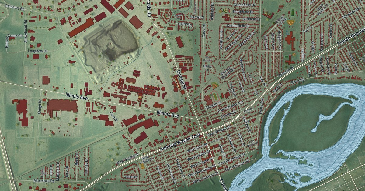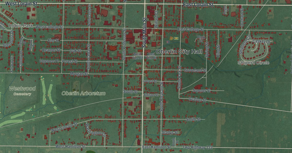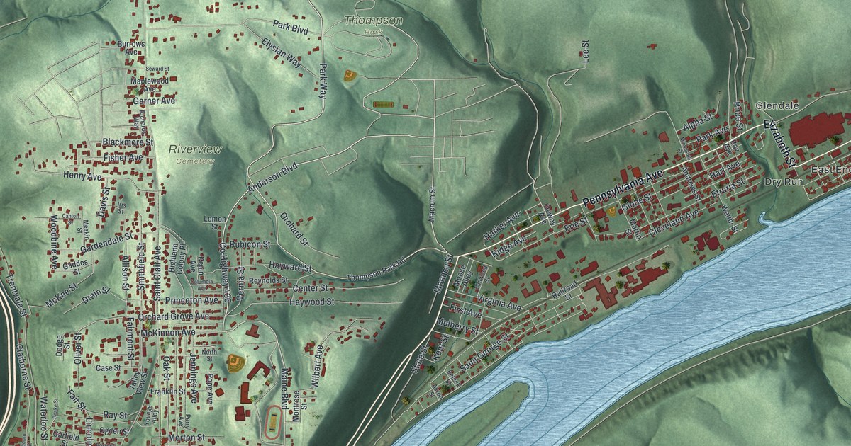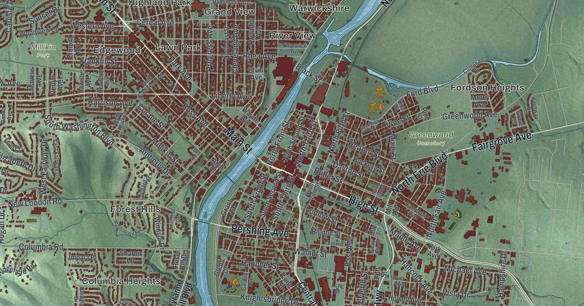
If you grew up in Marion, still have family there, or had someone who worked at "The Shovel," this map gives you a lot to find. It's a modern aerial view of Marion in Marion County, Ohio, made from modern data with a vintage feel. Downtown sits in the middle of the sheet, and more than 13,000 buildings are drawn in deep red. Rail lines cross the town, soft green shading shows the lay of the land, and blue ponds sit out on the north side. Explore the print options for Marion.
West Center Street, Delaware Avenue and Marion Cemetery
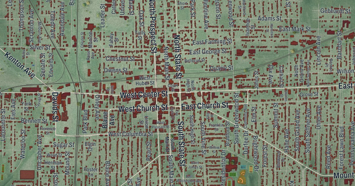
Start downtown, where West Center Street turns into East Center Street. North State Street runs north from here, and South State Street runs south. Just below, West Church Street and East Church Street cross the grid. Now follow East Center Street toward the east side. A few blocks south of it, you'll see Mount Vernon Avenue, and Richland Road runs down to Chateau Ridge in the bottom right corner. Back in the middle of town, take Delaware Avenue south. It passes Marion Cemetery and Harding Memorial Park, both named on the map, and reaches Hunters Chase. On the west side, Bellefontaine Avenue angles down to Colonial Acres. Northwest of downtown, Quarry Park sits beside the blue water. Many roads are labeled, and each red shape is a building, so zoom in on the preview and look for yours.
The Marion Steam Shovel marker on West Center Street
In 1884, Henry M. Barnhart, George W. King and Edward Huber started the Marion Steam Shovel Company. Its steam shovels helped change the way railroads and roads were built. According to a state historical marker, they were used to build the Panama Canal, Hoover Dam and the Holland Tunnel. The company also built dredges and draglines. Some were among the largest land vehicles ever built. By the middle of the 1900s, "The Shovel" had 2,500 workers. In the 1960s, NASA picked Marion to build the crawlers that carry spacecraft to their launch pads. Bucyrus International, its rival for a hundred years, bought the company and closed it in 1997.
The marker stands at 617 West Center Street. Find West Center Street on the map and follow it west from downtown. The map also prints a Barnhart Street, a King Avenue and a West Huber Street. They share the last names of the three men who started the company. Barnhart Street is on the east side near Wilson Avenue, and King Avenue is down by Summit Street. The Warren G. Harding House, at 380 Mount Vernon Avenue, is on the National Register of Historic Places. It isn't labeled, but the buildings along Mount Vernon Avenue are drawn in red.
For anyone who knows West Center Street and Delaware Avenue
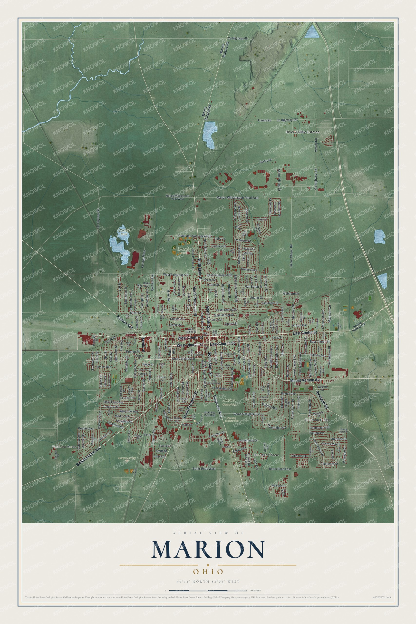
Created by KNOWOL in 2026, this Marion map shows the town on soft green land, with its buildings in deep red and its rail lines drawn in. The shaded land comes from USGS elevation data. The title panel reads "Aerial View of Marion, Ohio" with the coordinates 40°35' North, 83°08' West and a one-mile scale bar.
It fits an office, a den or a family room. It's a good gift for someone who grew up in Marion and moved away, or for a family that once worked at The Shovel. Open the preview, zoom in and find your street. Shop the Marion, Ohio map.