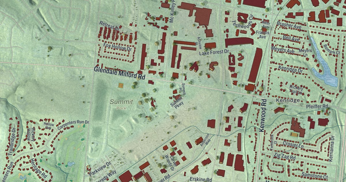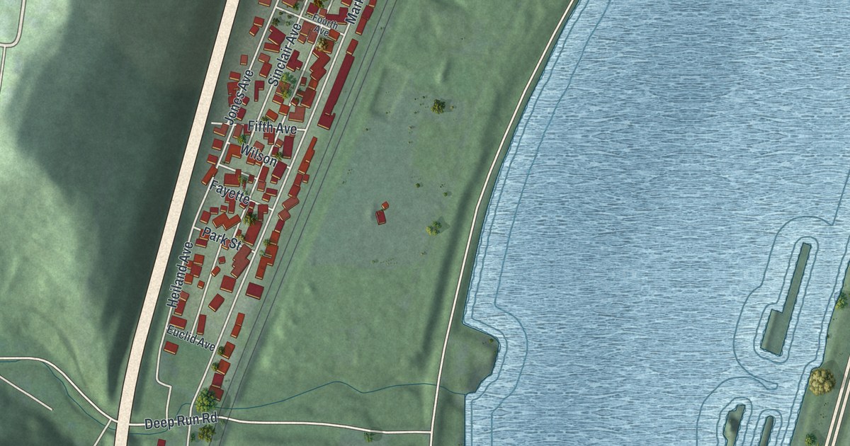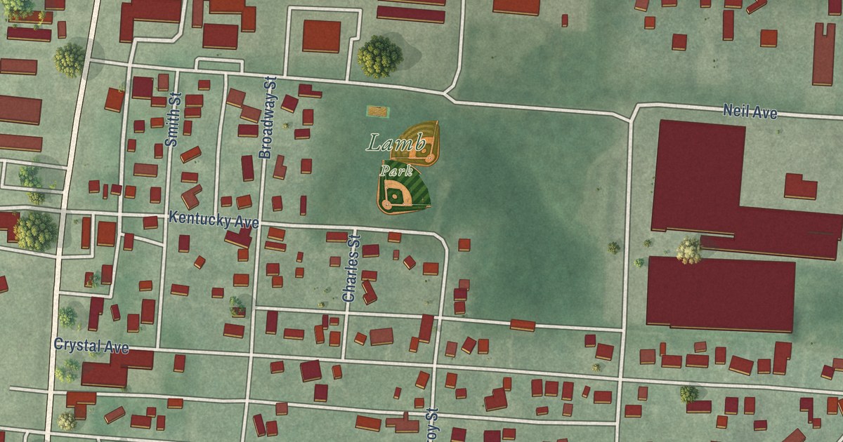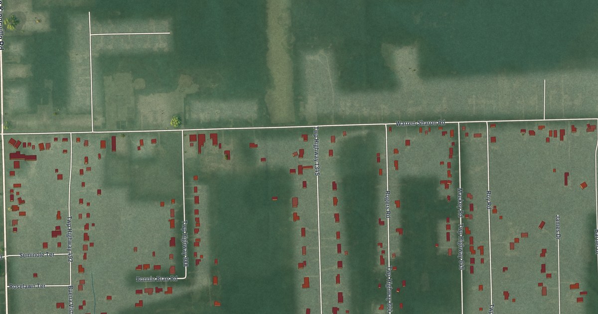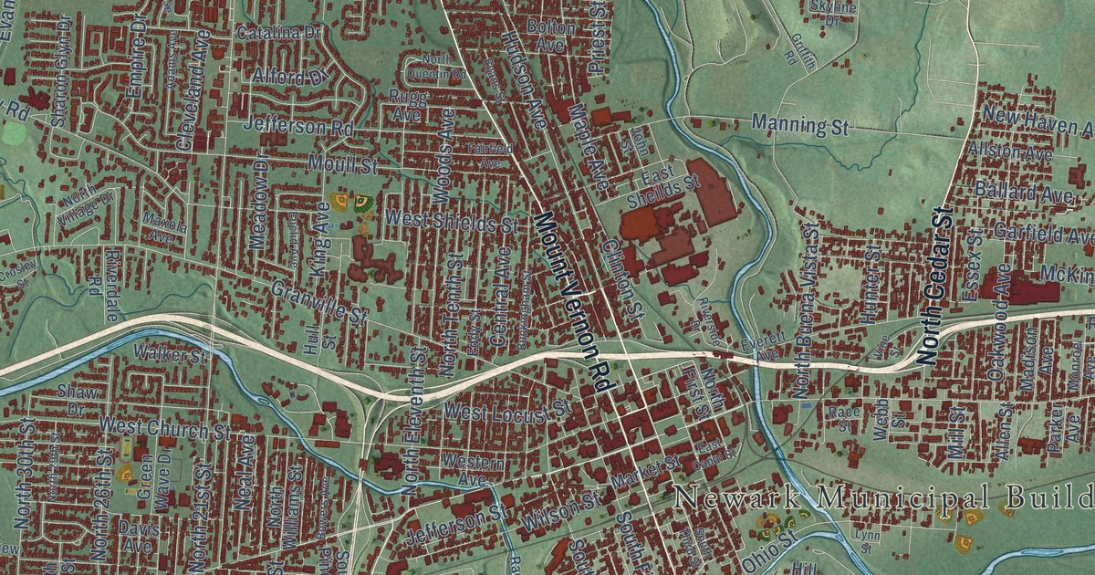
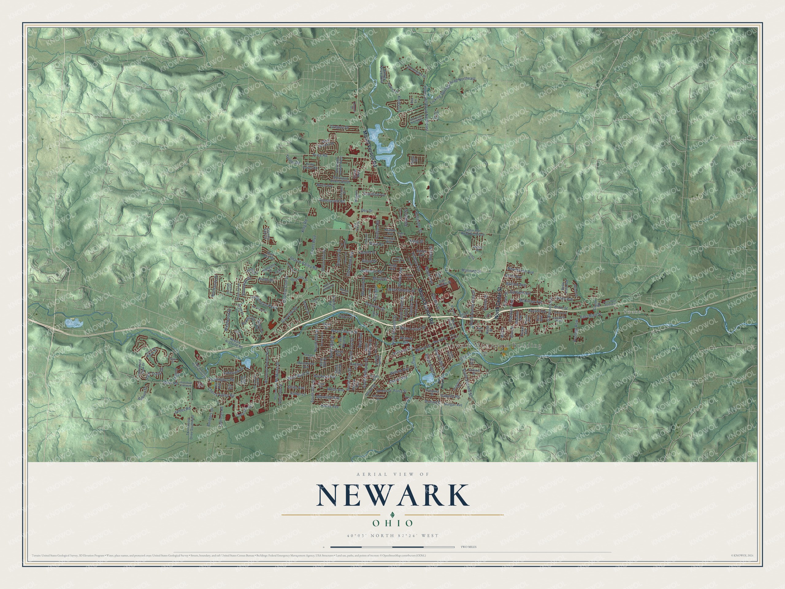
This beautifully detailed map of Newark, Ohio was created in 2026 using aerial imagery combined with modern topographical, census, street and landmark data. It’s a one-of-a-kind view of Newark that combines accurate data with a vintage aesthetic. The map shows every building in its true location, many of the roads carry their names, and the shaded topographic relief shows the shape of the land.
Explore an aerial view of Newark, Ohio
On the map you’ll find Newark Municipal Building, Swans, and Edwards Field, along with Mount Vernon Road, North Cedar Street, Price Road, Cherry Valley Road, West Main Street, Manor Drive, East Main Street, Hudson Avenue, Reddington Road, and more. If you look closely you can even find your house accurately drawn in its correct location. Zoom in on the preview to look for yours.
Did you know this piece of Newark, Ohio history?
General William C. Schenck led the first settlers to Newark in 1802. He named the new village after his hometown in New Jersey. On July 4, 1825, two governors dug the first dirt for the Ohio and Erie Canal near Newark.
Take a closer look at the Newark map
Street and place names on the Newark, Ohio map
These names are printed on the map of Newark, Ohio.
Places: Newark Municipal Building and Swans.
Streets and roads: Mount Vernon Road, North Cedar Street, Price Road, Cherry Valley Road, West Main Street, East Main Street, Hudson Avenue, Reddington Road, James Road, McMillen Drive, North 21st Street, West Church Street.
More street names, A to Z
Abby Drive, Adams Avenue, Alcon Drive, Alford Drive, Allen Street, Allston Avenue, Arbor Court, Auburn Drive, Audrey Drive, Audrey Drive West, Ava Lane, Ballard Avenue, Belle Vista Avenue, Berwyn Lane, Bolton Avenue, Bowers Avenue, Bow Street, Brice Street, Brookside Drive, Buckeye Avenue, Buckingham Street, Builders Drive, Cambria Street, Catalina Drive, Cedar Run Road Northeast, Central Avenue, Cherry Valley Road Northeast, Cleveland Avenue, Clinton Street, Coffman Road, Country Club Drive, Country Side Drive, Cranwood Drive, Crestview Woods Drive, Crosley Street, Daniel Avenue, Davis Avenue, Dayton Road, Decrow Avenue, Deer Run Road, Deo Drive, Derby Downs Road, Dumont Street, Earl Drive Northeast, East Canal Street, East Main Parkway, East Sheilds Street, Ecology Row, Eddy Street, Edgemont Road, Emerson Street, Empire Drive, Essex Street, Estates Drive, Euclid Avenue, Evans Boulevard, Evans Street, Everett Avenue, Fairfield Avenue, Forry Street, Garfield Avenue, Gleneagles Drive, Goosepond Road, Grafton Road, Grant Street, Granville Road, Granville Street, Greenfield Avenue, Green Wave Drive, Gregory Drive, Griffith Road, Harris Avenue, Highpoint Drive, Hill Street, Hollander Street, Hollar Lane, Horns Hill Road Northeast, Howell Drive, Hull Street, Hunter Street, Idlewilde Avenue, Isabelle Road, Jefferson Road, Jefferson Street, John Street, Jonathan Lane, Jones Avenue, Kelley Lane, Kenarbre Drive, Kim Avenue, King Avenue, King Road, Krebs Drive, Kreig Street, Lakeview Drive, Lee Avenue, Licking Springs Road Northeast, Log Pond Drive, Londondale Parkway, Lynn Street, Madison Avenue, Manning Street, Manor Drive, Maple Avenue, Margaret Street, Market Street, Maxola Avenue, McKinley Avenue, Meadow Drive, Messimer Drive, Mill Street, Monroe Avenue, Morgan Avenue, Moull Street, Moundview Avenue, Myrtle Avenue, Neal Avenue, Newark Granville Road, New Haven Avenue, Newton Avenue, Normandy Drive, North 26th Street, North 28th Street, North 29th Street, North 30th Street, North 39th Street, North Buena Vista Street, North Eleventh Street, North First Street, North Quentin Road, North Tenth Street, North Terrace Avenue, North Village Drive, North Williams Street, O'Bannon Avenue, Oakwood Avenue, Ohio Street, Orchard Street, Parker Avenue, Park Trails Drive, Parkview Road, Pembroke Road, Pierson Boulevard, Priest Street, Prospect Street, Raccoon Drive, Race Street, Redwood Drive, Ridgefield Road, Riverdale Road, River Road, River Road Southeast, Riverside Drive, Roe Avenue, Rugg Avenue, Russell Avenue, Scioto Way, Seneca Drive, Sharon Glyn Drive, Sharon Valley Road, Shaw Drive, Sherwood Downs South, Sherwood Downs West, Sheryl Lynn Drive, Shide Avenue, Skyline Drive, South 21st Street, South 24th Street, South 30th Street, South 36th Street, South Fifth Street, South Pine Street, South Second Street, South Sixth Street, South Third Street, South Williams Street, Stare Road, Steele Avenue, Stewart Street, Stonewall Drive, Stratford Woods Drive, Summit Street, Sunrise Drive, Swansea Road, Swans Road Northeast, Tamarack Road, Taylor Avenue, Taylor Lane, Thornwood Drive Southwest, Timberland View Drive, Turner Road, Union Street, University Drive, Vine Street, Vista Court, Walker Street, Webb Street, Wehrle Avenue, Wells Avenue, Western Avenue, West Hunters Drive, West Locust Street, Westmoor Avenue North, West National Drive, West Shields Street, Westwood Drive, Willrich Drive, Wilson Street, Woodridge Drive, Woods Avenue.
See the Newark, Ohio map on a wall
The Newark map as an 18 x 24 inch print in a black frame.

This beautifully detailed map of Newark makes an attractive addition to your office, library, or den, and it can even be used to teach children the geography and history of the area. It also makes a great gift for anyone with Newark roots. When you’re done exploring, click here to get your copy of the Newark map.