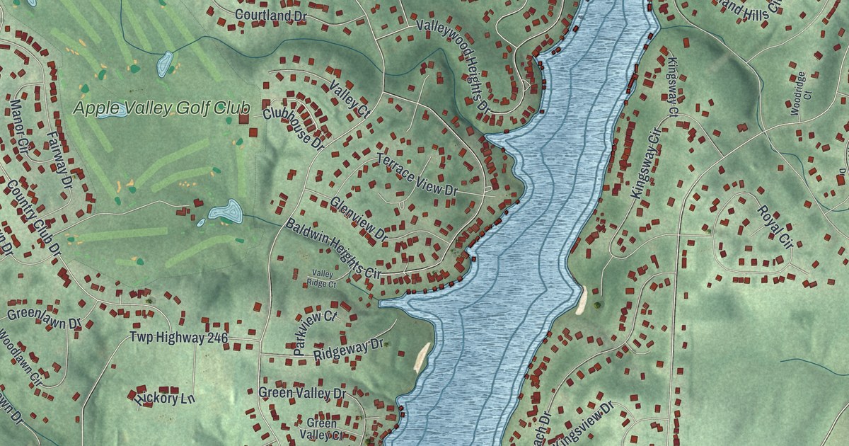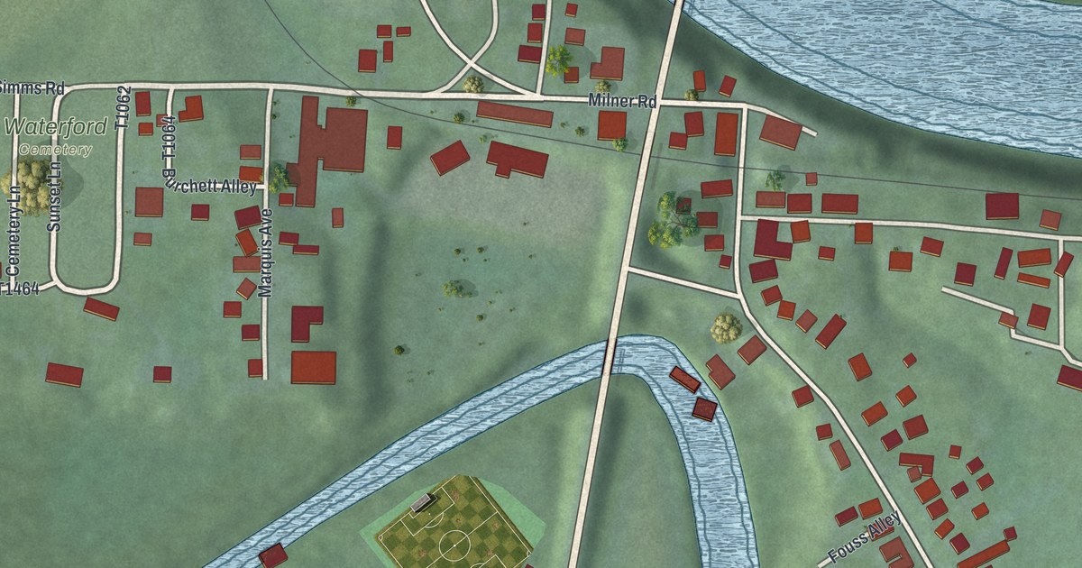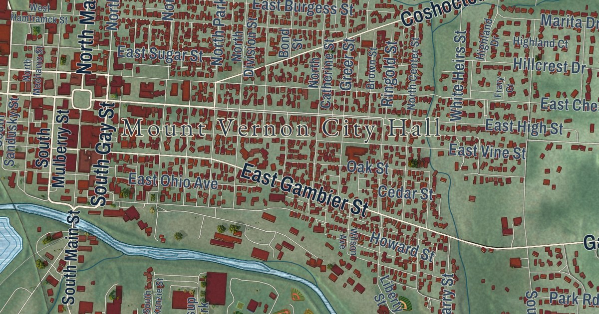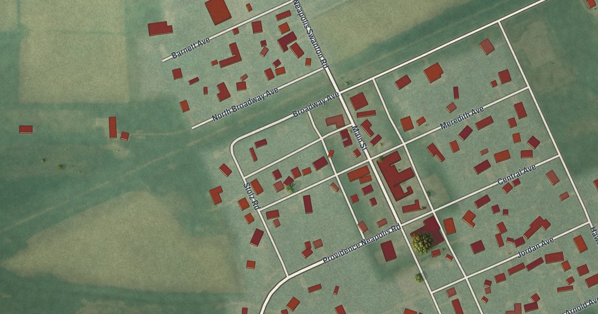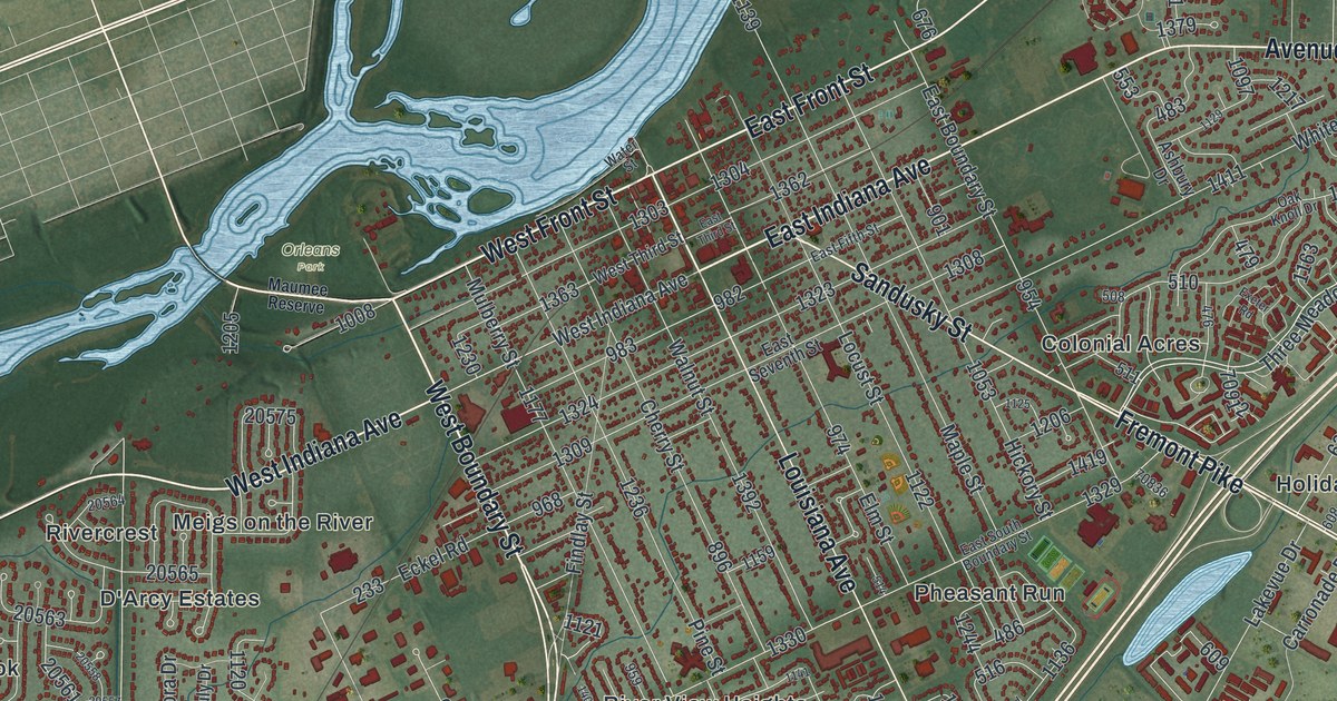
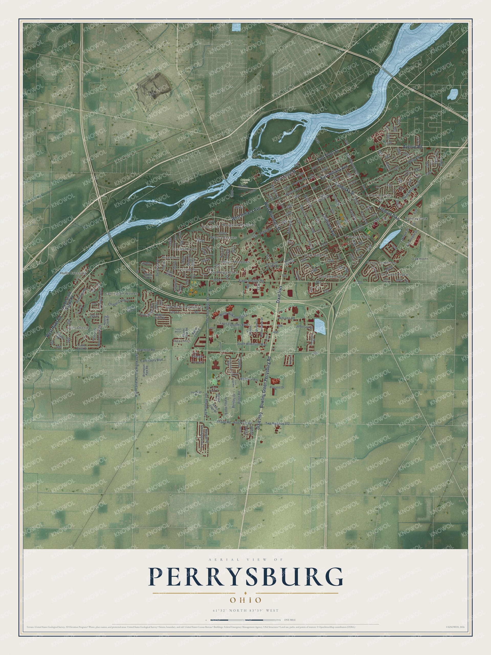
This beautifully detailed map of Perrysburg, Ohio was created in 2026 using aerial imagery combined with modern topographical, census, street and landmark data. It’s a one-of-a-kind view of Perrysburg that combines accurate data with a vintage aesthetic. The map shows every building in its true location, many of the roads carry their names, and the shaded topographic relief shows the shape of the land.
Explore an aerial view of Perrysburg, Ohio
On the map you’ll find Willowbend, Orleans Park, Carrington Woods, Colonial Acres, Crandenbrook, D’Arcy Estates, Fort Meigs Place, Holiday Park, Hulls Crossing, Indian Meadows, Kettle Run, McKinley Woods, and more. If you look closely you can even find your house accurately drawn in its correct location. Zoom in on the preview to look for yours.
Did you know this piece of Perrysburg, Ohio history?
From the 1909 Reminiscences of Pioneer Days in Wood County and the Maumee Valley: "In 1821 a mail route was established from Piqua, by way of St. Marys, Fort Wayne, Defiance and Waterville to Perrysburg, 200 miles, with Thomas Diver as mail carrier."
Take a closer look at the Perrysburg map
Street and place names on the Perrysburg, Ohio map
These names are printed on the map of Perrysburg, Ohio.
Places: Willowbend, Orleans Park, Carrington Woods, Colonial Acres, Crandenbrook, D'Arcy Estates, Fort Meigs Place, Holiday Park, Hulls Crossing, Indian Meadows, Kettle Run, McKinley Woods, Meigs on the River, Oakmont, Perry Commons, Pheasant Run, River View Heights, Rivercrest, Riverford, Roachton, Shawnee Trace and Southwood Park.
Streets and roads: West River Road, Sandusky Street, Avenue Road, West Boundary Street, West Indiana Avenue, East Indiana Avenue, West Front Street, East Front Street, Fremont Pike, Dixie Highway, Bowling Green Perrysburg Road, Louisiana Avenue.
More street names, A to Z
5 Point Road, Arrowhead Drive, Ashbury Drive, Aston Road, Barton Creek Drive, Bentley Drive, Blue Jacket Road, Brampton Park Road, Brittany Road, Brockway Drive, Callander Court, Canterbury Boulevard, Carnegie, Carrington Boulevard, Carronade Drive, Catawba Drive, Chapel Creek Drive, Chargin, Cherry Street, Chippewa Lane, Coe Court, Cross Ridge Way, Delaware Drive, East Boundary Street, East Fifth Street, East Seventh Street, East South Boundary Street, East Third Street, Eckel Jct Road, Eckel Junction Road, Eckel Road, Elm Street, Exeter Road, Falling Waters Lane, Findlay Street, Five Point Road, Forest Gate Drive, Fort Meigs Road, Golden Rod Lane, Hickory Street, Hidden Ridge Drive, Hollenbeck Drive, Hollister Lane, Horseshoe Bend Drive, Hull Prairie Road, Hunters Run, Hunting Creek Drive, Jefferson Street, Lakevue Drive, Levis Commons Boulevard, Lighthouse Way, Locust Street, Mallard Road, Maple Street, Maumee Reserve, Mingo Drive, Mission Hill Drive, Morgan Place, Moser Lane, Mulberry Street, Nora Drive, North Wilkinson Way, Oak Knoll Drive, Pauly Drive, Pine Street, Progress Drive, Reserve Drive, Ridge Cross Road, River Ridge Way, Rivers Edge Drive, Roachton Road, Sandstone Road, Seminary Road, South Wilkinson Way, Spafford Drive, Sterlingwood Lane, Stoneleigh Road, Taylors Mill Circle, Tennison Drive, Three Meadows Drive, Toledo Grand Rapids Road, Turney, Turtle Creek Drive, Twp Highway 97, Twp Highway 102, Twp Highway 106, Valley Hall Drive, Valley Lane, Walnut Street, Waterstone Lane, Water Street, West So Boundary, West South Boundary Street, West Third Street, Whispering Way, White Road, Williams Road, Wood Creek Road, Woods Edge Road.
See the Perrysburg, Ohio map on a wall
The Perrysburg map as an 18 x 24 inch print in a black frame.

This beautifully detailed map of Perrysburg makes an attractive addition to your office, library, or den, and it can even be used to teach children the geography and history of the area. It also makes a great gift for someone who left Perrysburg and still calls it home. When you’re done exploring, click here to get your copy of the Perrysburg map.