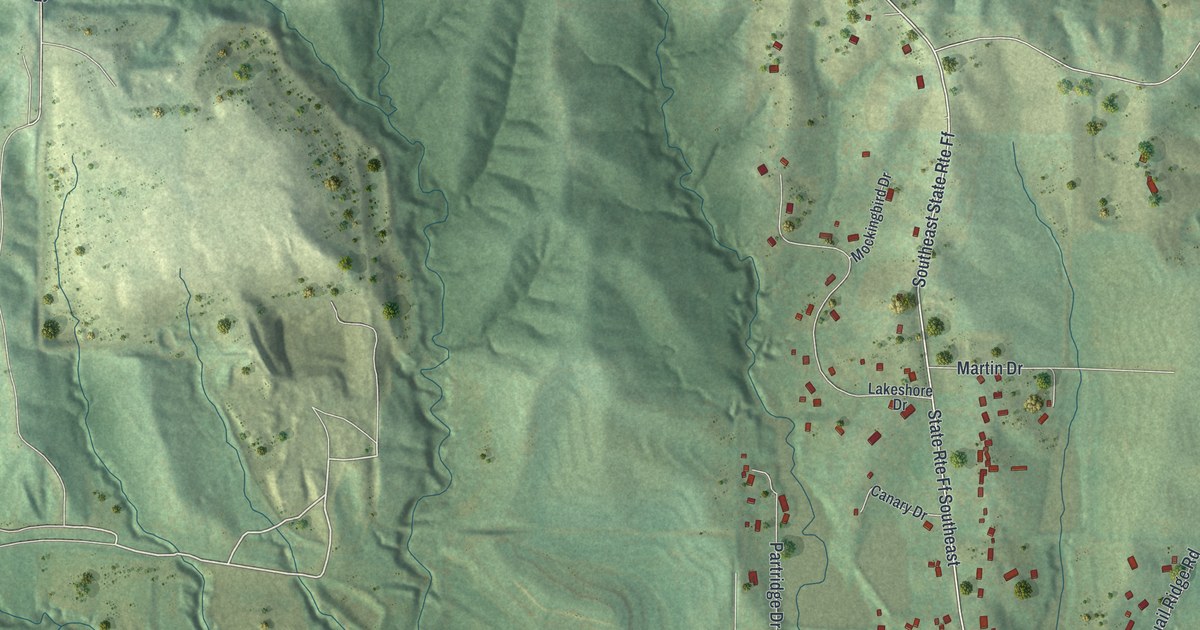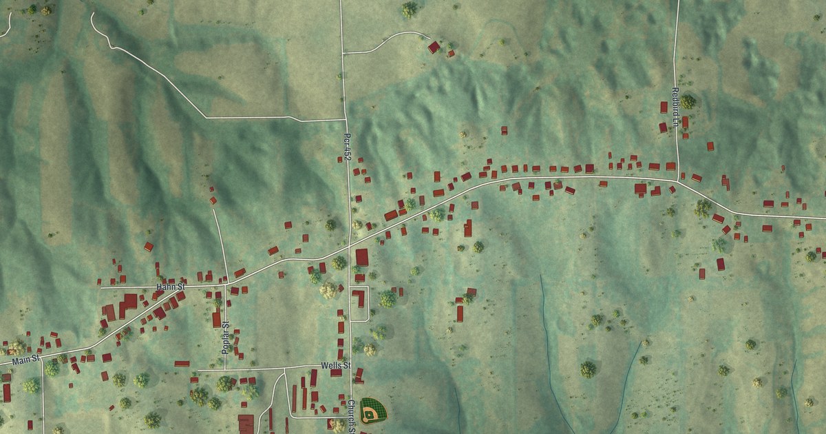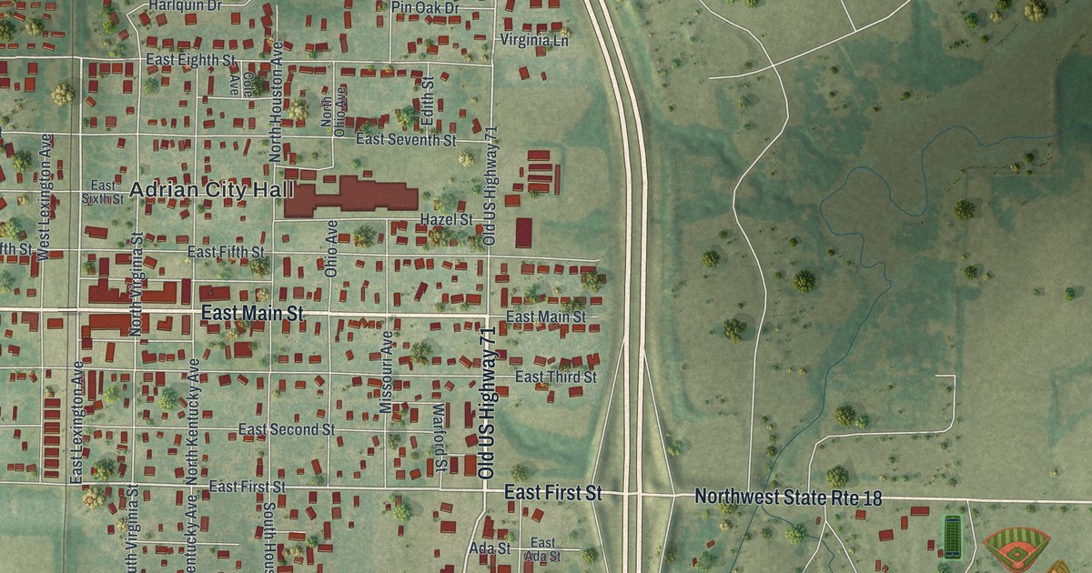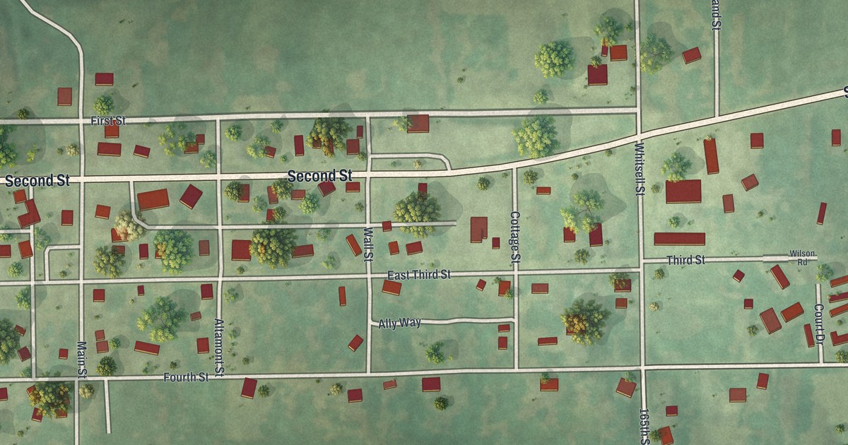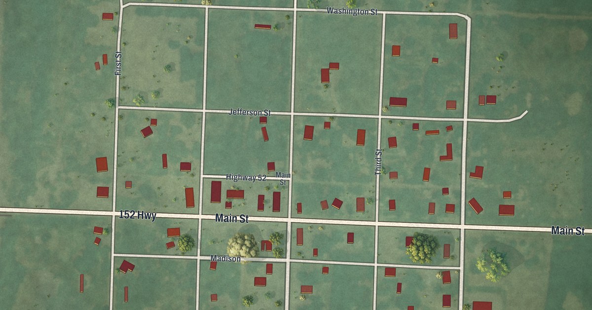
If you grew up in Amoret, or have family who lived along Main Street or Broadway, this map puts the whole town on one sheet. It's a modern aerial view of Amoret in Bates County, Missouri, made from modern data and given a vintage look. The town's grid of streets sits in the middle, with its houses and other buildings drawn in red. Farm fields and scattered trees fill the green country all around it.
Main Street, Broadway and the Amoret grid
Start where Broadway crosses Main Street in the middle of town. Main Street runs clear across the sheet from west to east. On the west side of town it's also printed as 152 Hwy. Head north on Broadway. You'll cross Jefferson Street, then reach Washington Street along the top of the grid. A short piece printed as Highway 52 sits just above Main Street, near Broadway.
Now go back to Main Street and head south on Broadway. You'll pass a street printed as Madison, then one printed as Madison Street. Then you'll reach Monroe Street at the bottom of the grid. First Street runs down the west edge of town, and Fourth Street runs down the east edge. Second Street and Third Street sit between them, one on each side of Broadway. Past Monroe Street, Broadway keeps going south through open fields to the bottom of the sheet. Many of the roads are labeled, and each red shape is a building, so zoom in on the preview and look for yours.
How the Amoret Beacon came to town in the 1890s
Amoret had its own newspaper by 1900. The Old Settlers' History of Bates County, printed that year, tells how it came to town. In 1897, H. Cline bought the printing shop of the Foster Beacon. He ran the paper with his son for two years, under the name H. Cline & Son. Then they moved the shop to Amoret, and the paper became the Amoret Beacon. His son Eli was the editor. The book called Eli the youngest editor in the county, and probably in the state. The streets from Washington Street down to Monroe Street are the town that paper was written for. The Census Bureau counted 133 people in Amoret in 2020.
A gift for someone from Washington Street to Monroe Street
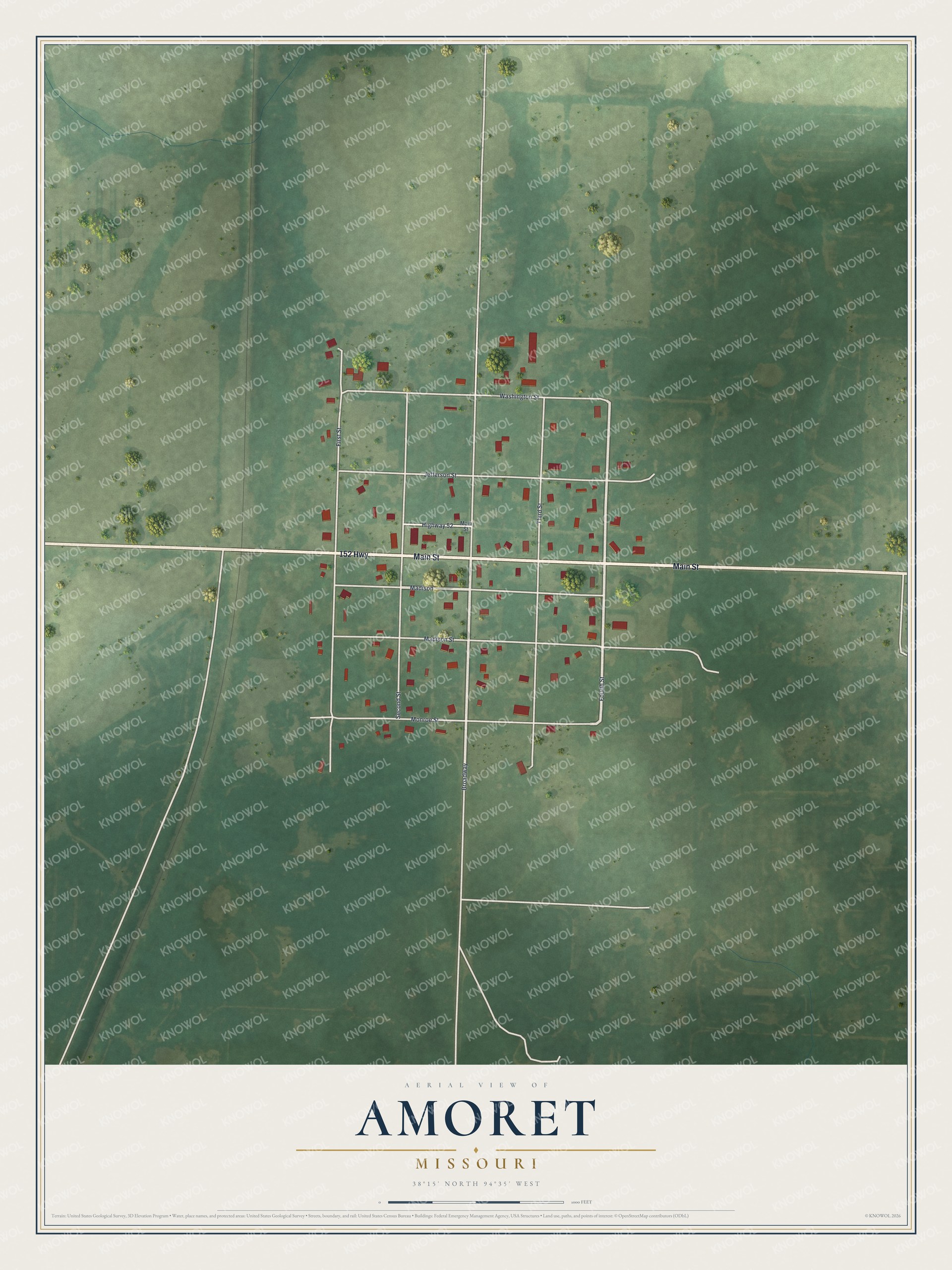
Created by KNOWOL in 2026, this Amoret map shows the town grid and its red buildings on soft green farmland. The shading comes from USGS elevation data. The streets come from Census Bureau records. The title panel reads "Aerial View of Amoret, Missouri" with 38°15' North, 94°35' West beneath it.
It suits a kitchen, a front room or a farm office. It's a good gift for someone who grew up along Broadway and moved away, or for a family with roots in Bates County. Open the preview, zoom in and look for the house you know. See sizes and frames for the Amoret map.