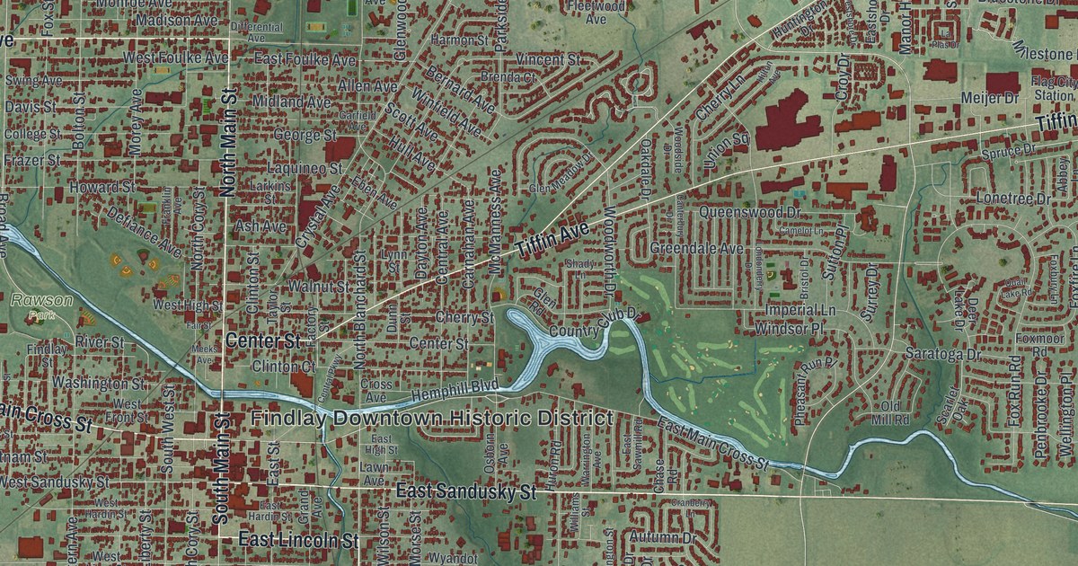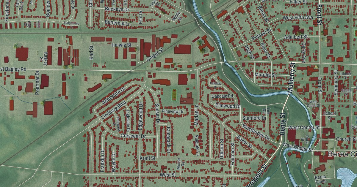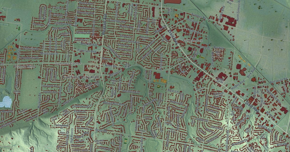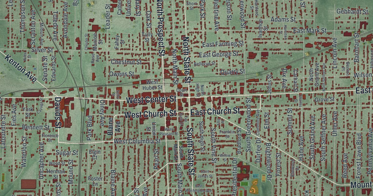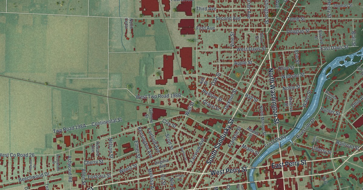
If you grew up in Tiffin, studied at Heidelberg, or still head downtown to the courthouse on Washington Street, this map has plenty for you to find. It's a modern aerial view of Tiffin in Seneca County, Ohio, made from modern data and given a vintage look. A wide blue river winds through the middle of town, from the top right corner down to the bottom left. Nearly 10,000 buildings are marked in deep red. Farm fields fill the edges of the sheet.
West Perry Street, Melmore Street and Kernan Park
Start downtown, where West Perry Street crosses the river and becomes East Perry Street. East Market Street runs just beside it on the east side. North Washington Street heads up the sheet from the center, and South Washington Street heads down. Follow South Washington Street to Melmore Street, which angles off to the bottom right. Coe Street and Hedges Street cross it there. Just east, Summit Street runs past Hedges-Boyer Park.
Now go back to the center and take Riverside Drive north. You'll pass Hunter Street and Riverlea Park on the way to Kernan Park on the east side of the river. North Sandusky Street heads up toward North Plank Road. West of the river, Miami Street and Wentz Street reach out toward the fields. South Sandusky Street runs down to the southwest, toward Highland Park Estates. Many of the roads are labeled, and each red shape is a building, so zoom in on the preview and look for yours.
How Fort Ball and Tiffin began on two sides of the river
Tiffin got its start on two sides of the Sandusky River. In July 1813, during the War of 1812, soldiers under Lt. Col. James V. Ball built a supply fort on the west bank. Ball picked the spot for its big spring of cold water. He built the fort's wall right around it. After the war, a settler named Erastus Bowe opened a house and tavern on the same ground. The Ohio History Connection's marker says that settlement, in 1817, was the start of both Seneca County and the city of Tiffin.
In 1822, Josiah Hedges bought the land across the river from old Fort Ball. His brother, General James Hedges, surveyed it and laid out the town. The town was named for Edward Tiffin, Ohio's first governor and a friend of Josiah's. That March, the state made Tiffin the county seat for good. Today the Camp Ball marker stands at Frost Parkway and Perry Street. Find Frost Parkway just west of the river on the print, then look across the water to where the Hedges town began.
For someone who knows Washington Street and Hedges-Boyer Park
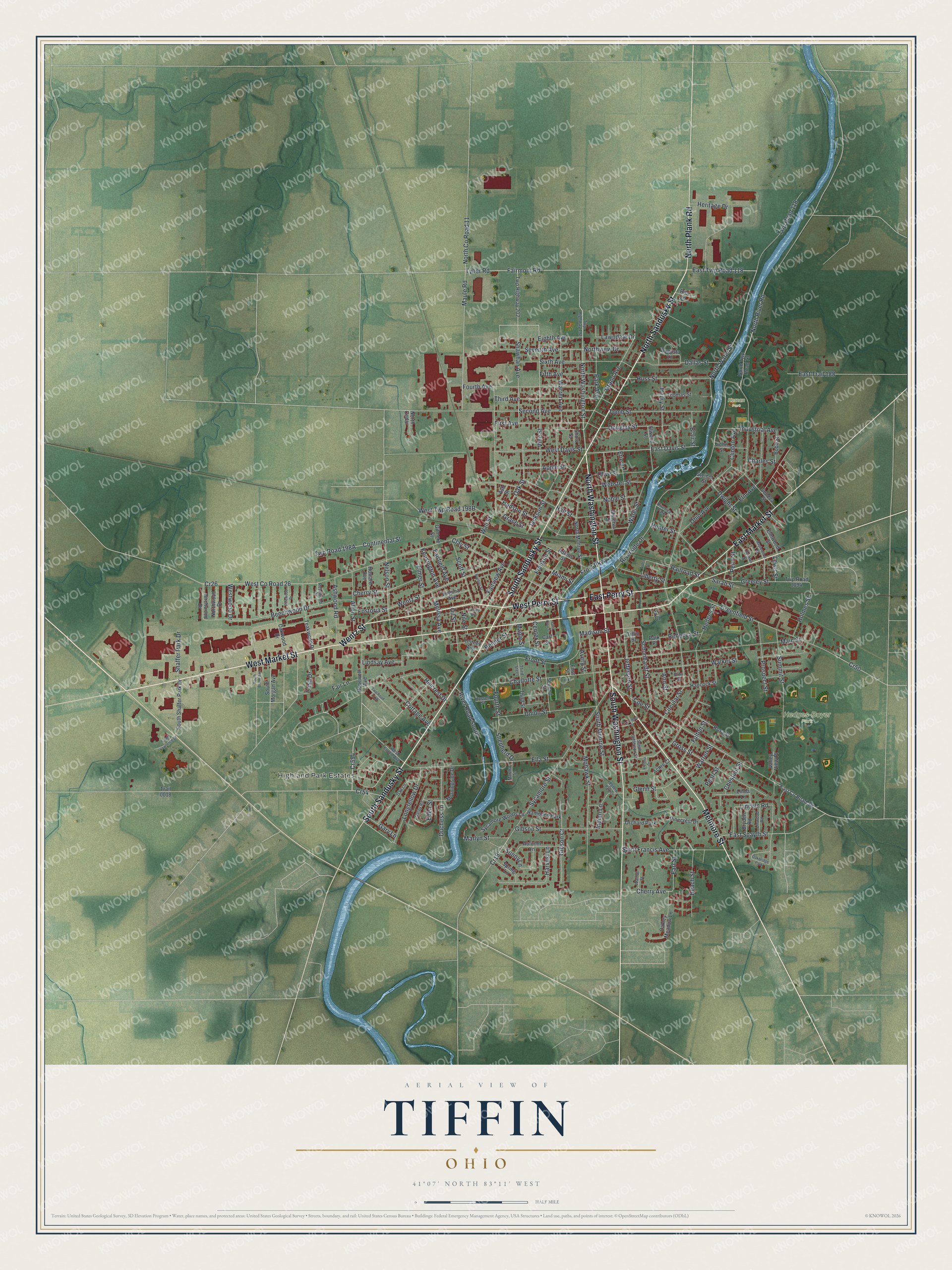
Created by KNOWOL in 2026 from USGS elevation data and Census Bureau road records, this Tiffin map shows the city in soft greens with its buildings in deep red. The river bends through town in pale blue. The title panel reads "Aerial View of Tiffin, Ohio" with the coordinates 41°07' North, 83°11' West and a half mile scale bar.
It suits a den, an office or a kitchen wall. It's a good gift for anyone who grew up in Seneca County, moved away, or spent their college years in the old halls on Greenfield Street. Open the preview, find the river bend by West Perry Street, and follow the streets you know. See sizes and frames for the Tiffin map.