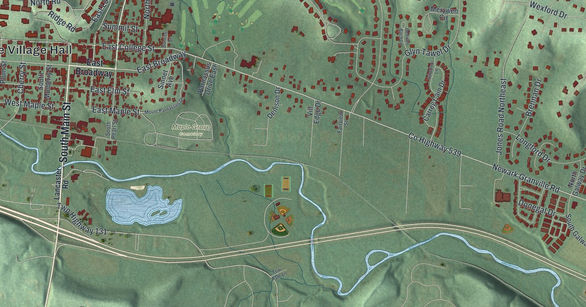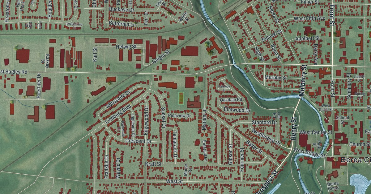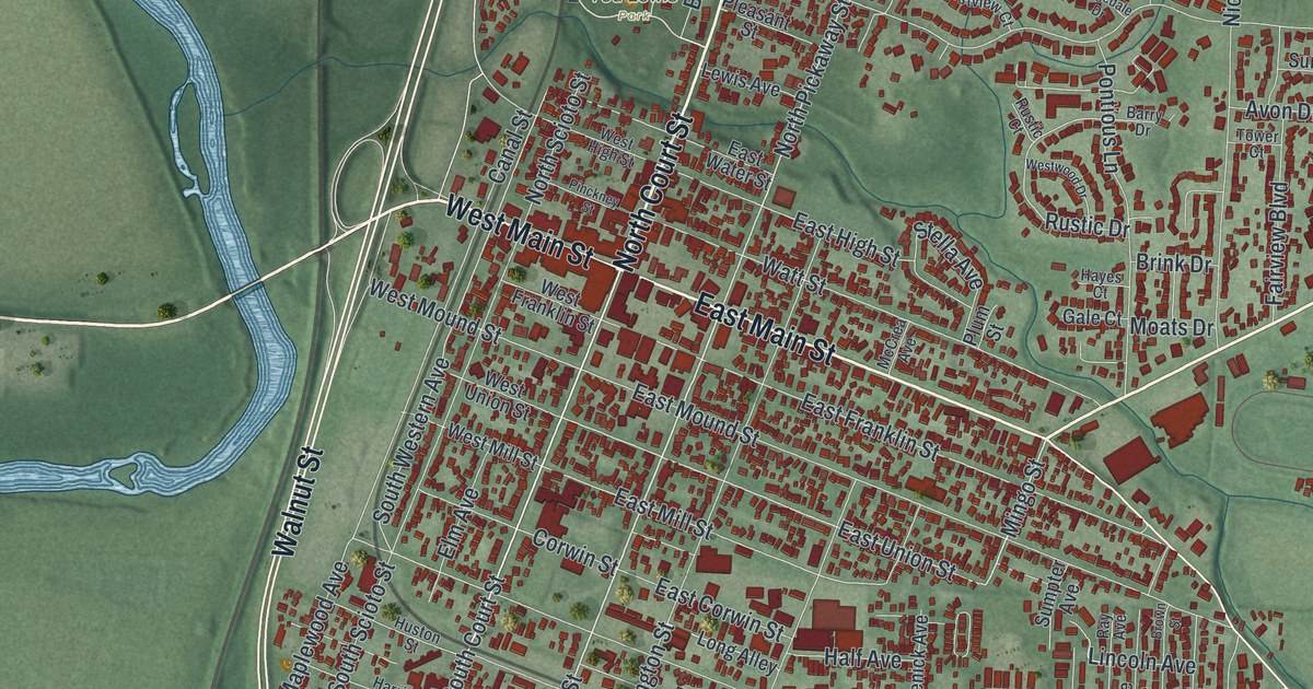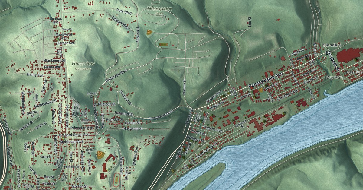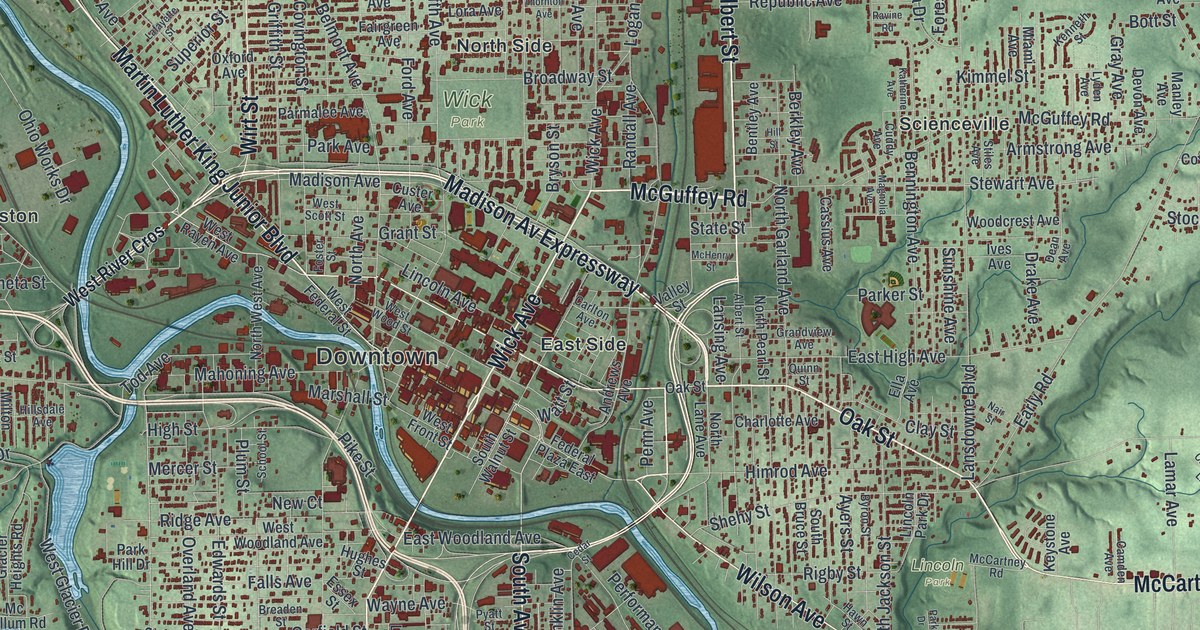
If you grew up in Youngstown, walked the paths in Mill Creek Park or still have family on the North Side or the South Side, this map gives you a lot to find. It's a modern aerial view of Youngstown in Mahoning County, Ohio, made from modern data and given a vintage look. A wide blue river runs across the sheet from the top left to the bottom right, and Downtown sits right in the middle. More than 63,000 buildings are drawn in deep red. The hills around them are shaded in soft green.
Downtown, Belmont Avenue and Mill Creek Park
Start Downtown, in the middle of the sheet. Wick Avenue heads north from there toward McGuffey Road. Elm Street and Ohio Avenue also run north, through the North Side and past Wick Park. Farther west, Belmont Avenue climbs toward the top left corner. It passes Tod Homestead Cemetery on the way, and Brier Hill sits close by along Crandall Avenue. Back Downtown, Market Street heads south across the river. It runs through the South Side and on past Kyles Corners.
Now head west. Mahoning Avenue runs out through the West Side toward Perkins Corners, with Calvary Cemetery just below it. Glenwood Avenue branches off Mahoning Avenue and runs south past Fosterville. The green valley of Mill Creek Park lies just to the west, with Old Furnace Road and Volney Road winding through it. Keep going on Glenwood to Canfield Road and Cornersburg in the bottom left corner. Many of the roads are labeled, and each red shape is a building, so zoom in on the preview and look for yours.
The old wool mill on Old Furnace Road
Pioneer Pavilion is one of the oldest buildings in Youngstown. James Heaton built it out of sandstone in 1821 as a wool mill. A channel from Mill Creek turned a waterwheel on its west side. In the 1830s and 1840s, it became a storehouse for the nearby Mill Creek Furnace. Later it was a cattle barn. In 1891, a Youngstown lawyer named Volney Rogers bought the land for Mill Creek Park. In 1893 he fixed up the old mill for dining and dancing and named it Pioneer Pavilion. Its Ohio historical marker says people have held parties there across three centuries. To find the spot, follow Old Furnace Road west from Volney Road into the park.
A short way north, on McCollum Road, stands a house that's even older. Joshua Kyle, a War of 1812 veteran, and his wife Mary Stewart finished it in 1813. They built it with stone from their own land, on a hill above Mill Creek. Its walls are two feet thick. The marker for the Kyle-McCollum House says it's thought to be the oldest home in Youngstown still lived in on its first site. Kyle also built a sawmill on Mill Creek. That spot is now under Lake Glacier.
For anyone who knows Market Street and Mill Creek Park
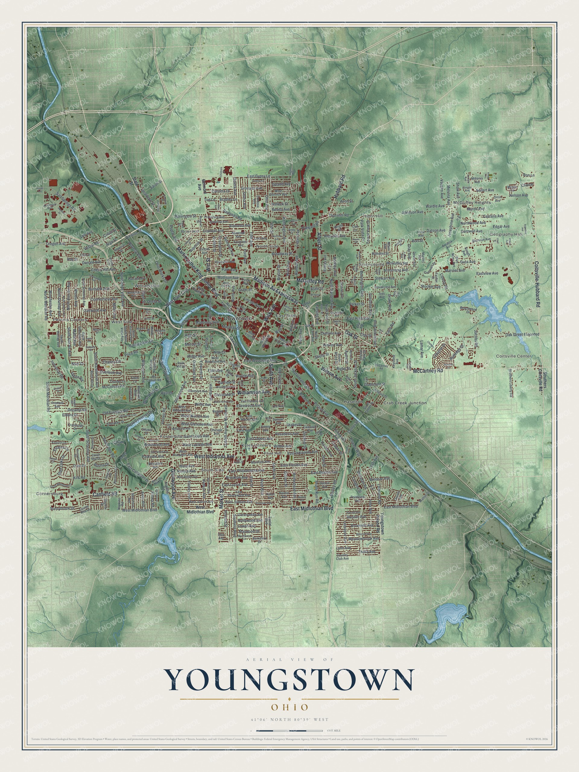
Created by KNOWOL in 2026, this Youngstown map suits a living room, an office or a den. The shading comes from USGS elevation data, so you can see the deep valley Mill Creek follows down the left side of the sheet. The title panel reads "Aerial View of Youngstown, Ohio," with the coordinates 41°06' North, 80°39' West and a scale bar.
It's a thoughtful gift for someone who grew up here, moved away, or still has family near Mill Creek Park. Open the preview, zoom in and find the street you know. See sizes and frames for the Youngstown map.