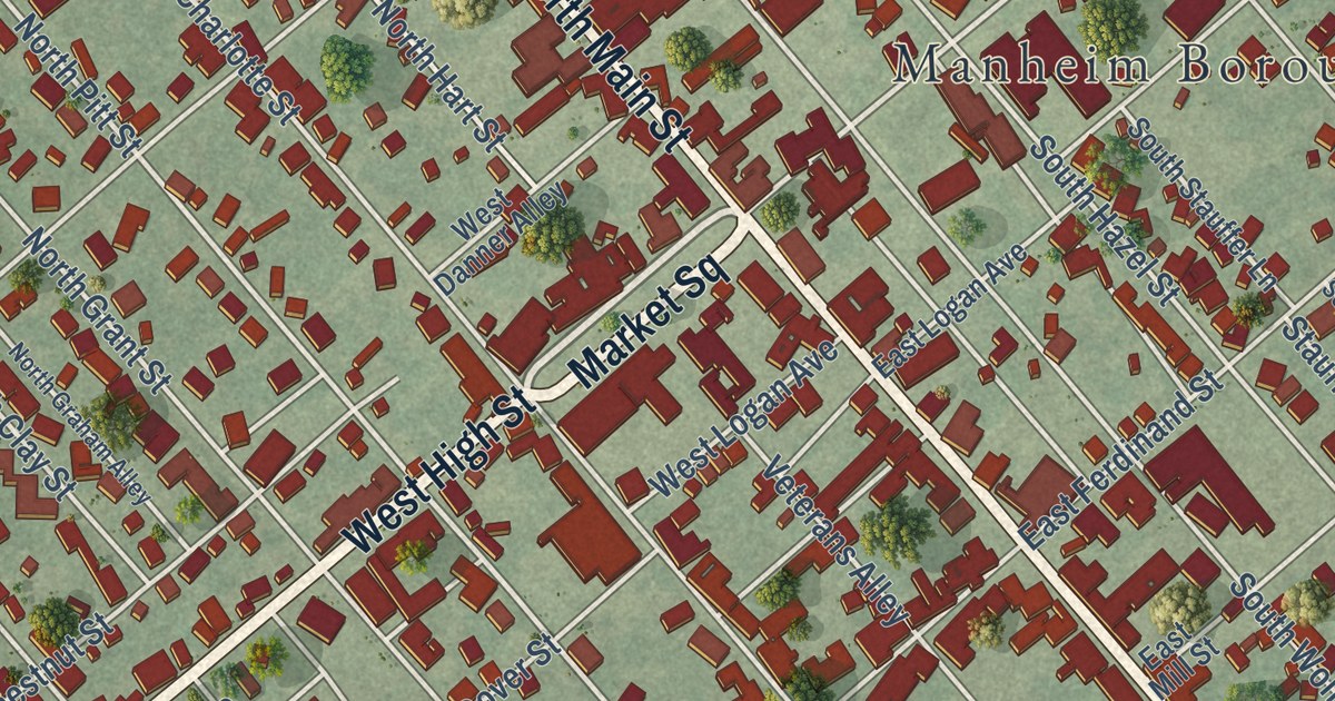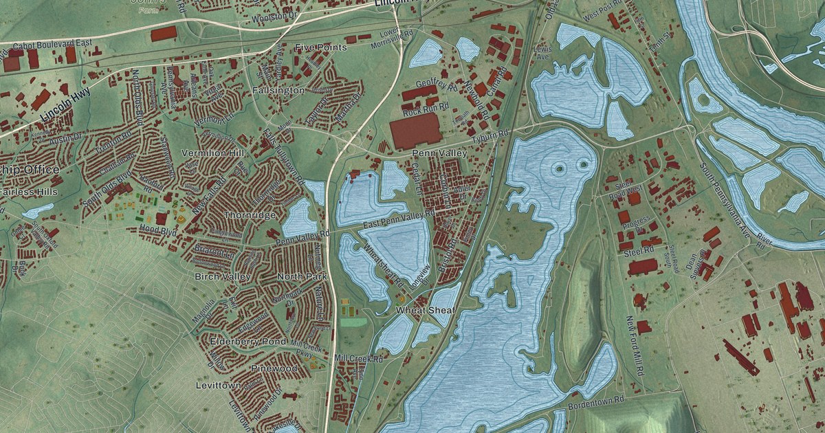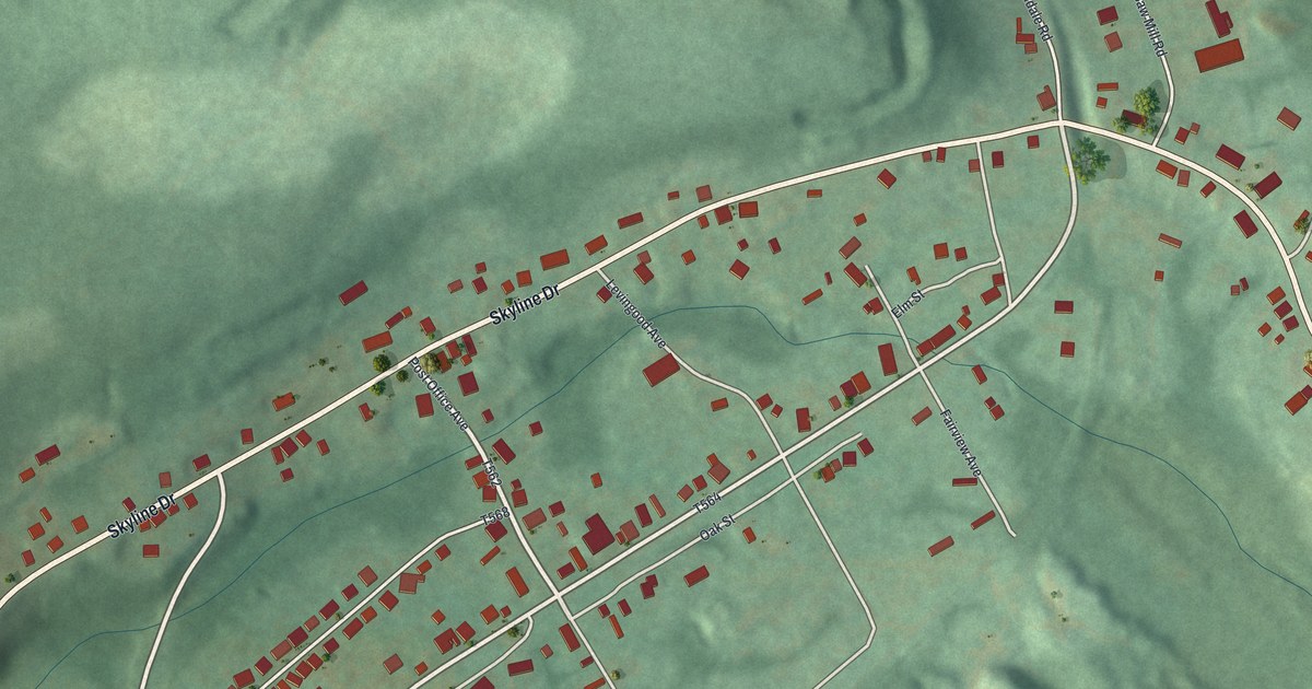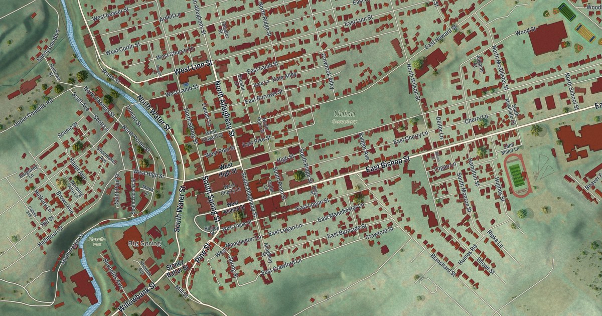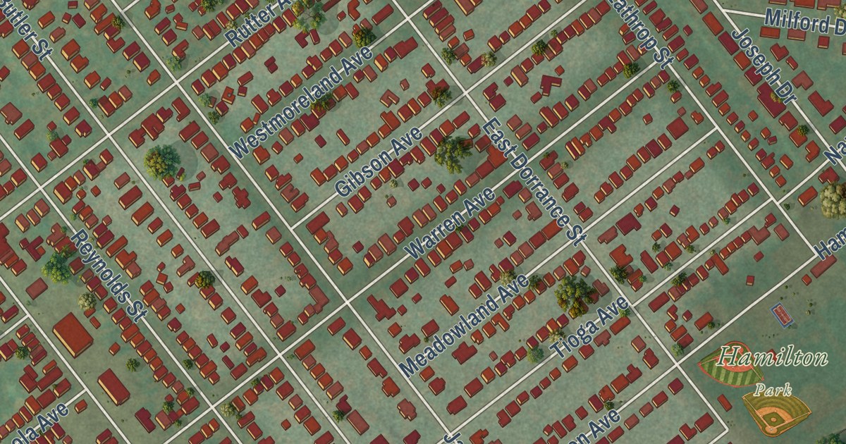
This beautifully detailed map of Kingston Borough, Pennsylvania was created in 2026 using aerial imagery combined with modern topographical, census, street and landmark data. It’s a one-of-a-kind view of Kingston Borough that combines accurate data with a vintage aesthetic. The map shows every building in its true location, many of the roads carry their names, and the shaded topographic relief shows the shape of the land.
Explore an aerial view of Kingston Borough, Pennsylvania
On the map you’ll find Church Street Park, Hamilton Park, and Forty Fort, along with Wyoming Avenue, Joseph Drive, North Welles Avenue, Lathrop Street, West Market Street, Rutter Avenue, Market Street, Third Avenue, Schuyler Avenue, and more. If you look closely you can even find your house accurately drawn in its correct location. Zoom in on the preview to look for yours.
Take a closer look at the Kingston Borough map
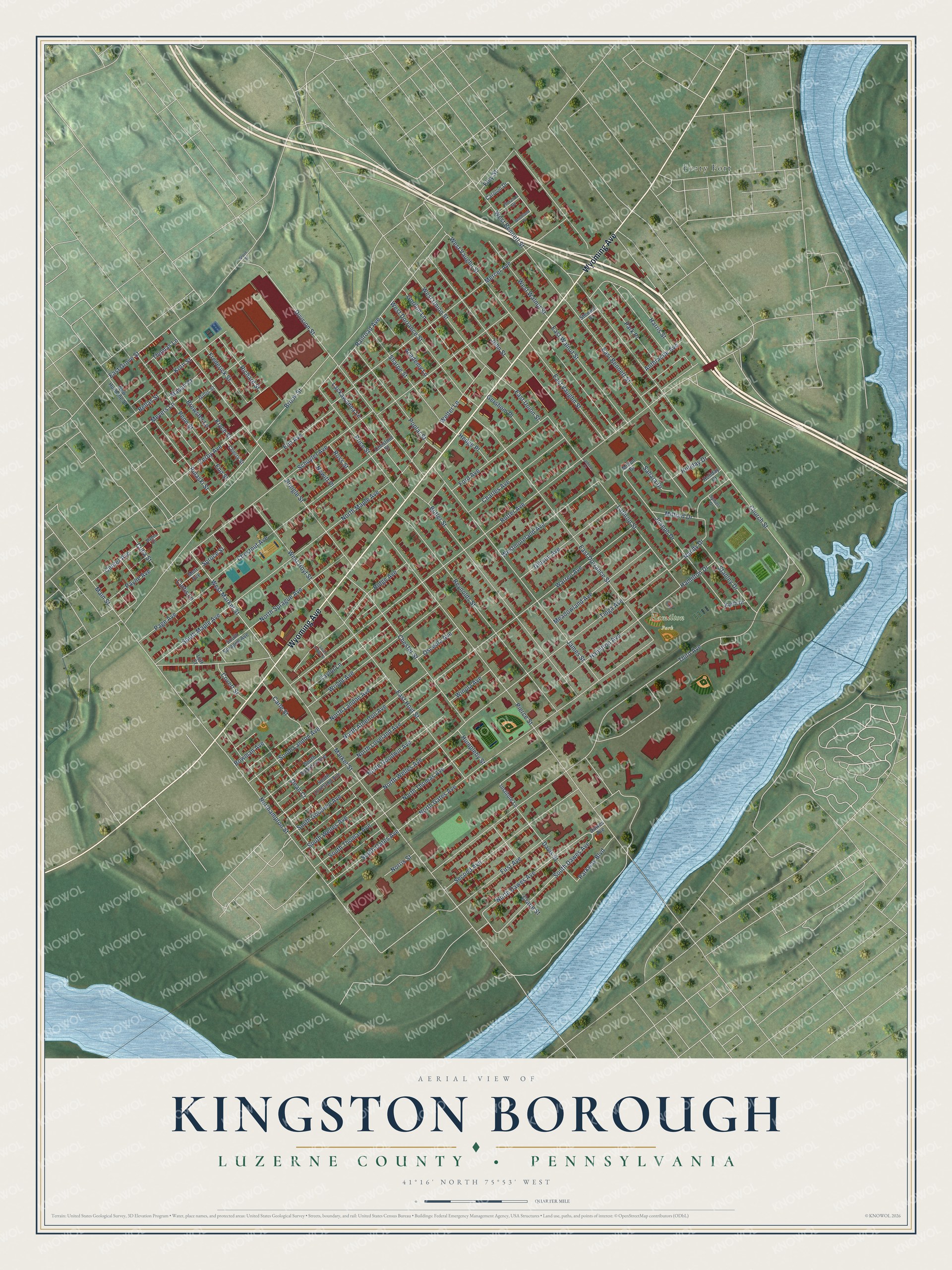
Street and place names on the Kingston Borough, Pennsylvania map
These names are printed on the map of Kingston Borough, Pennsylvania.
Places: Hamilton Park and Forty Fort.
Streets and roads: Wyoming Avenue, North Welles Avenue, South Dawes Avenue, North Dawes Avenue, Joseph Drive, West Bennett Street, Rutter Avenue, Market Street, Third Avenue, Schuyler Avenue, Pierce Street, Church Street.
More street names, A to Z
Academy Lane, Anthracite Avenue, Bellas Street, Bowman Avenue, Brewster Lane, Brook Street, Butler Street, Carle Street, Carolon Drive, Center Avenue, Charles Avenue, Cherry Street, Chester Street, Chestnut Avenue, Chestnut Street, Covert Street, Crane Street, Cuba Street, Curtis Lane, Davis Street, Dawes Avenue, Dean Court, Division Street, East Bennett Street, East Dorrance Street, East Grove Street, East Hoyt Street, East Union Street, East Vaughn Street, East Walnut Street, Eley Street, Elm Avenue, Eno Street, First Avenue, Floralon Drive, Ford Avenue, Frederick Street, Gershom Place, Gibson Avenue, Gillis Street, Gordon Lane, Grove Street, Hamilton Avenue, Hamilton Drive, Harris Street, Hedge Place, Holiday Court, Holiday Drive, Humpleby Street, Institute Lane, James Street, John Street, Keith Drive, Korn Street, Krych Street, Lackawanna Lane, Lathrop Court, Lathrop Street, Luff Court, Main Street, Mason Court, Meadowland Avenue, Mercer Avenue, Meyers Lane, Milford Drive, Milton Drive, Mott Avenue, Myers Court, Nandy Drive, New Hurbane Street, Newitt Place, Norris Street, Northampton Street, North Atherton Avenue, North Gates Avenue, North Goodwin Avenue, North Landon Avenue, North Loveland Avenue, North Maple Avenue, North Sprague Avenue, North Thomas Avenue, Osceola Avenue, Page Avenue, Park Place, Parkway Boulevard, Payne Avenue, Penn Street, Poplar Street, Price Street, Pringle Street, Pulaski Street, Railroad Avenue, Reynolds Street, Richard Street, Ridge Avenue, Ross Street, Sahara Drive, Second Avenue, Sharpe Street, South Atherton Avenue, South Gates Avenue, South Goodwin Avenue, South Landon Avenue, South Loveland Avenue, South Maple Avenue, South Ridge Street, South Sprague Avenue, South Thomas Avenue, South Welles Avenue, Spruce Street, Stanley Drive, Stewart Street, Sylbert Drive, Taylor Lane, Thomas Lane, Tioga Avenue, Warren Avenue, Welter Lane, West Dorrance Street, West Hoyt Street, West Market Street, Westmoreland Avenue, West Union Street, West Vaughn Street, West Walnut Street, Winola Avenue, Woodland Drive, Wright Avenue, Zerby Avenue.
See the Kingston Borough, Pennsylvania map on a wall
The Kingston Borough, Luzerne County map as an 18 x 24 inch print in a black frame.

This beautifully detailed map of Kingston Borough makes an attractive addition to your office, library, or den, and it can even be used to teach children the geography and history of the area. It also makes a great gift for anyone who grew up in Kingston Borough or moved away. When you’re done exploring, click here to get your copy of the Kingston Borough map.