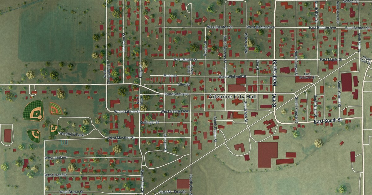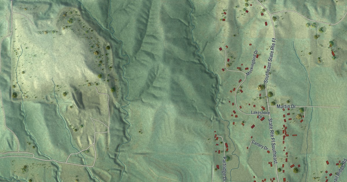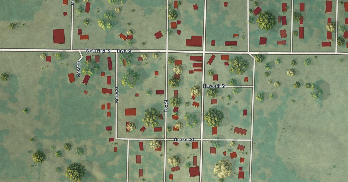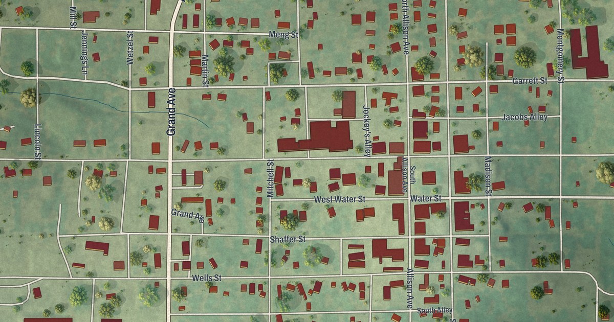
If you grew up in Greenfield or still have family on its streets, this map gives you plenty to find. It's a new aerial view of Greenfield in Dade County, Missouri, made from modern data and given a vintage look. Grand Avenue runs down the middle of town as Highway 39. More than 880 buildings are drawn in red on soft green, shaded hills. Thin blue creeks wind through the fields around the edges.
Water Street, Allison Avenue and Grand Avenue
Start in the middle of town, where Water Street meets Allison Avenue. The Greenfield Opera House Building stands at that corner. It was added to the National Register of Historic Places in 1998. Now follow West Water Street to Grand Avenue, which is also Highway 39. Head north and Grand Avenue curves east at the top of town, where the label changes to East Hewitt Avenue. Head south and it becomes South State Highway 39. It passes a group of big red buildings on the west side.
Back at the center, Garrett Street and College Street cross town north of Water Street. Wells Street crosses just south of it. Allison Avenue runs south toward the Toney Park label. Below it, O'Hara Street, High Street and Broad Street cross the south end of town. On the left side, State Road Bb runs west into the fields. Many of the roads are labeled, and each red shape is a building, so zoom in on the preview and look for yours.
The lead boulder found northeast of Greenfield in 1875
In the spring of 1875, miners were digging for zinc about ten miles northeast of Greenfield. They were about two miles east of the Sac River, near where the mining town of Corry stood when the book was written. Only a few feet down, they hit a boulder of lead. It weighed 50,000 pounds. The story is told in Goodspeed's 1889 history of the county. On the map, East Hewitt Avenue leaves town at the top right, heading toward that northeast country.
The same book names an early settler near town. Rankin, from Tennessee, settled two and a half miles north of the site of Greenfield. He was the first commissioner of the county seat. On the map, Highway 39 heads north at the top of town. The Washington Hotel, at 2 South Main Street, is on the National Register too. It was listed in 2002.
For anyone who knows Water Street and Grand Avenue
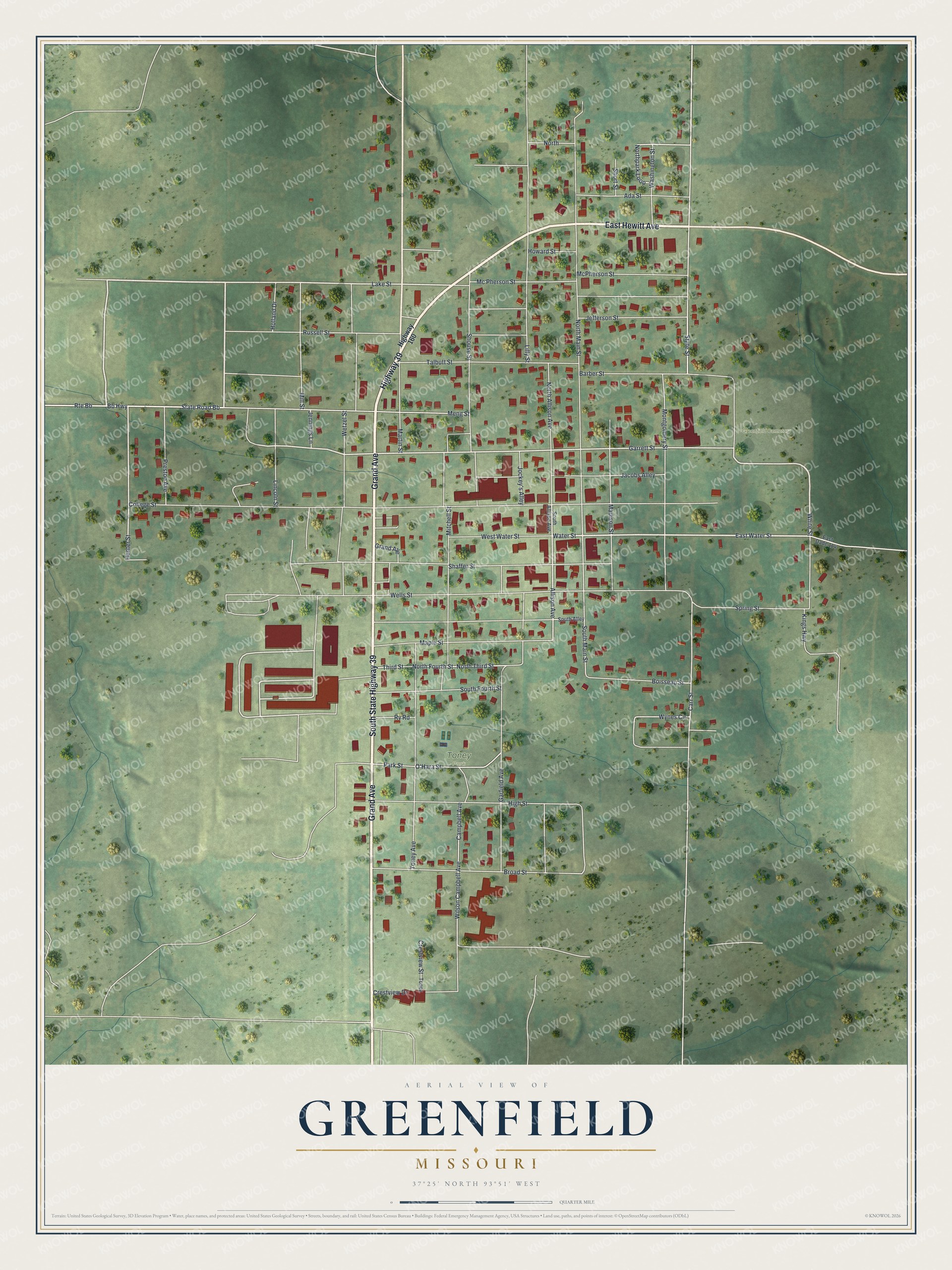
Created by KNOWOL in 2026, this map of Greenfield shows red buildings, white roads and green hills with soft shading. The shaded hills come from USGS elevation data. The title panel reads "Aerial View of Greenfield, Missouri," with the coordinates 37°25' North, 93°51' West and a quarter-mile scale bar.
It fits an office, a kitchen or a front hall. It's a thoughtful gift for someone who grew up near the Opera House corner, or who moved away and still thinks of Grand Avenue. Open the preview, zoom in and find the street you know. See sizes and frames for the Greenfield map.