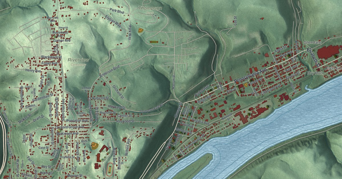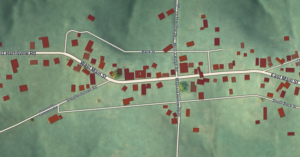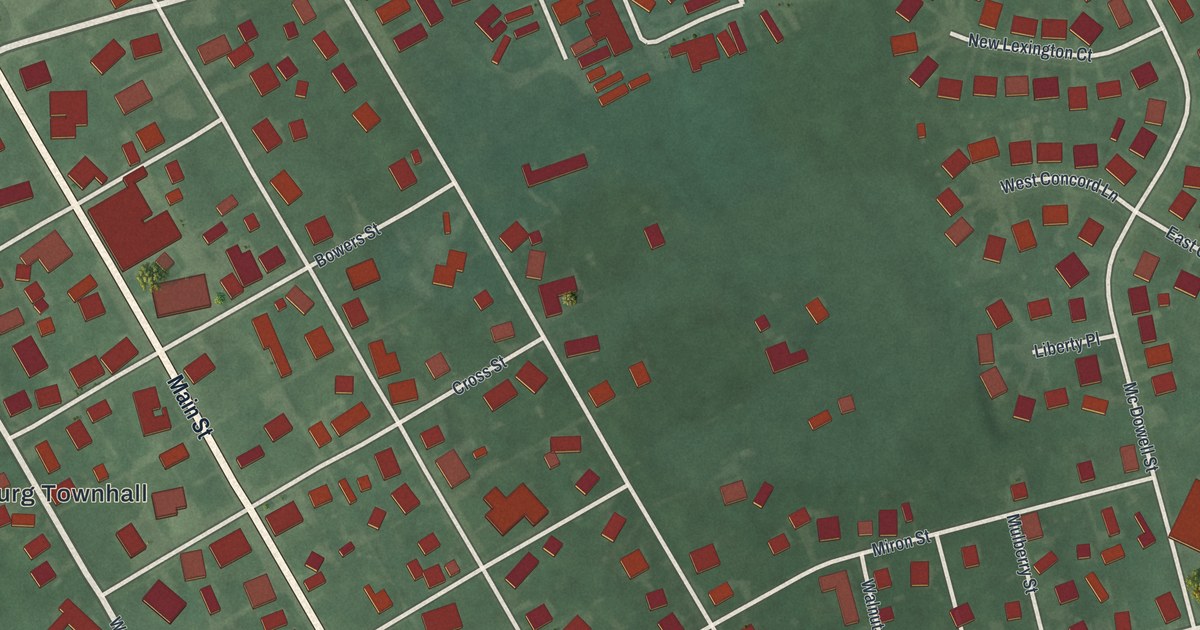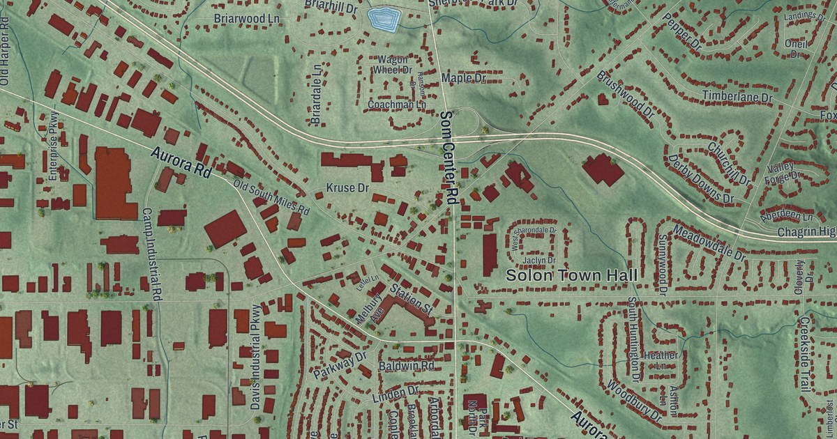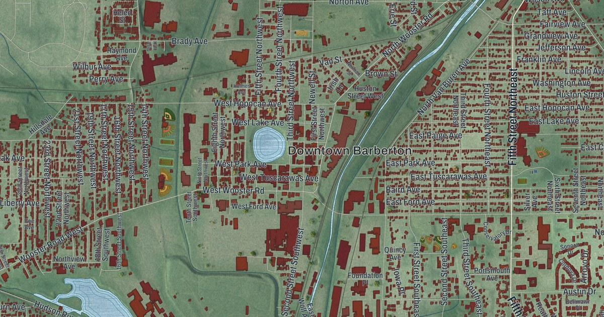
This beautifully detailed map of Barberton, Ohio was created in 2026 using aerial imagery combined with modern topographical, census, street and landmark data. It’s a one-of-a-kind view of Barberton that combines accurate data with a vintage aesthetic. The map shows every building in its true location, many of the roads carry their names, and the shaded topographic relief shows the shape of the land.
Explore an aerial view of Barberton, Ohio
On the map you’ll find Downtown Barberton, Johnsons Corners, New Portage, and Newton Park, along with Fifth Street Northeast, Fifth Street Southeast, North Wooster Road, East State Street, West State Street, North Summit Street, 15th Street Northwest, Third Street Southeast, and more. If you look closely you can even find your house accurately drawn in its correct location. Zoom in on the preview to look for yours.
Did you know this piece of Barberton, Ohio history?
Industrialist O.C. Barber founded Barberton in 1891 and planned it around his ideas of industry and community. In 1894 he moved the Diamond Match Company there from Akron. It soon turned out 250 million matches a day. The town grew so fast that a reporter said it seemed to rise by magic, and it became the Magic City.
Take a closer look at the Barberton map
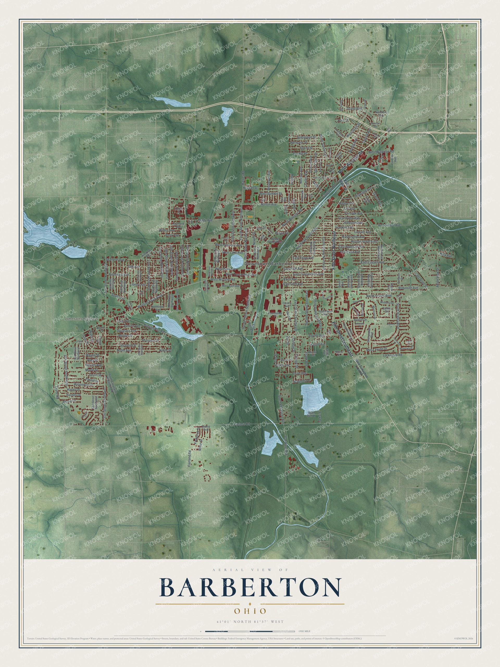
Street and place names on the Barberton, Ohio map
These names are printed on the map of Barberton, Ohio.
Places: Downtown Barberton, Johnsons Corners, New Portage and Newton Park.
Streets and roads: Fifth Street Northeast, Fifth Street Southeast, North Wooster Road, East State Street, West State Street, North Summit Street, 15th Street Northwest, Third Street Southeast, Eastern Road, West Wooster Road, Wooster Road West, Robinson Avenue.
More street names, A to Z
14th Street Northwest, 16th Street Northwest, 16th Street Southwest, 17th Street Northwest, 18th Street Southwest, 19th Street Northwest, 21st Street Northwest, 22nd Street Northwest, 23rd Street Northwest, 25th Street Northwest, 25th Street Southwest, 27th Street Northwest, 28th Street Northwest, 30th Street Northwest, 31st Street Northwest, 31st Street Southwest, 33rd Street Southwest, 36th Street Southwest, 37th Street Southwest, Akron View Drive, Alcorn Drive, Arroyo Drive, Auburn Avenue, Austin Drive, Baird Avenue, Barber Road, Belleview Avenue, Bellmawr Place, Bell Street, Benton Street, Bishop Oval, Brady Avenue, Breiton Circle, Brown Street, Canna Circle, Central Avenue, Charles Avenue, College Street, Conrad Street, Conservatory Drive, Cordelia Avenue, Cordova Drive, Coventry Road, Dahlia Circle, Dan Street, Dogwood Lane, Douglass Avenue, Dunn Street, Eagon Street, East Avenue, East Cassell Avenue, East Ford Avenue, East Hopocan Avenue, East Lake Avenue, East Paige Avenue, East Park Avenue, East Tuscarawas Avenue, East Wolf Avenue, Eighth Street Northeast, Eighth Street Northwest, Elmwood Avenue, Elson Avenue, Erie Street, Evergreen Street, Fairland Road, Fairview Avenue, Fifth Street Northwest, First Street Northwest, First Street Southeast, Forest Drive, Foundation Place, Fourth Street Northeast, Fourth Street Northwest, Frank Avenue, Franklin Avenue, Frederick Street, Frew Drive, Frisby Avenue, Fritz Street, Gale Drive, George Street, Glenn Street, Goodrich Avenue, Grace Avenue, Graceland Street, Grand Boulevard, Grandview Avenue, Grant Avenue, Green Street, Hagey Drive, Hall Avenue, Harden Drive, Harding Avenue, Harold Avenue, Harter Avenue, Harvard Avenue, Haven Avenue, Haynes Avenue, Hazelwood Avenue, Helen Street, Hermann Street, Herms Court, Highland Avenue, Hillsdale Avenue, Holmes Avenue, Homewood Avenue, Horn Street, Hudson Run Road, Huston Street East, Huston Street West, Iowa Place, Irish Lane, Jefferson Avenue, Keller Street, Kenmore Avenue, Laurel Cr, Liberty Avenue, Lilac Place, Lincoln Avenue, Lloyd Street, Lockwood Road, Madison Avenue, Magnolia Drive, Mansion Drive, Maple Street, Meadowood Drive, Mesa Verde Drive, Miami Avenue, Miller Street, Morgan Street, Newell Street, New Street, Newton Avenue, Ninth Street Northeast, Ninth Street Northwest, Noble Avenue, Noble Street, Nola Avenue, Norman Street, North Azalea Boulevard, North Van Buren Avenue, Northview Avenue, North Way Street, Norton Avenue, Oak Avenue, Orchard Avenue, Park Drive, Parkview Avenue, Perry Avenue, Poe Avenue, Portsmouth Avenue, Prospect Street, Quincy Avenue, Raymond Avenue, Ries Street, Romig Avenue, Saint Clair Avenue, Schwinn Drive, Second Street Southeast, Second Street Southwest, Seventh Street Northeast, Shannon Avenue, Shenandoah Boulevard, Silver Avenue, Sixth Street Northeast, Snyder Avenue, Sonora Drive, South Avenue, South Azalea Boulevard, South Cleveland Massillon Road, South Duff Drive, South Van Buren Avenue, Stanley Avenue, Stratford Street, Swigart Street, Taft Avenue, Taylor Road, Tenth Street Southwest, Third Street Northeast, Third Street Northwest, Thornwood Drive, Union Street, Valley Avenue, Van Buren Road, Van Street, Walter Avenue, Waltz Drive, Washington Avenue, Wayne Street, Wesleyan Avenue, West Ford Avenue, West Heatherwood Drive, West Hopocan Avenue, West Lake Avenue, West Park Avenue, West Summit Street, West Turkeyfoot Lake Road, West Tuscarawas Avenue, West Waterloo Road, Wilbur Avenue, Wilson Avenue, Wilsonway Drive, Wisteria Drive, Wuchter Street, Yale Avenue, Yonker Street, Young Avenue.
See the Barberton, Ohio map on a wall
The Barberton map as an 18 x 24 inch print in a black frame.

This beautifully detailed map of Barberton makes an attractive addition to your office, library, or den, and it can even be used to teach children the geography and history of the area. It also makes a great gift for anyone with Barberton roots. When you’re done exploring, click here to get your copy of the Barberton map.