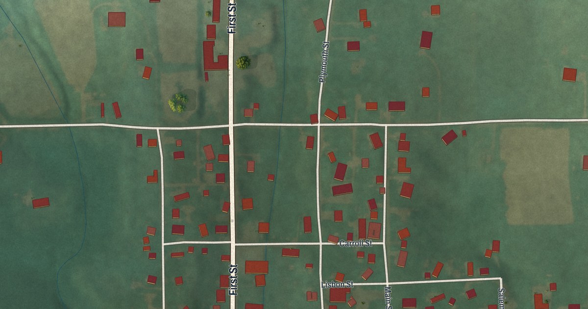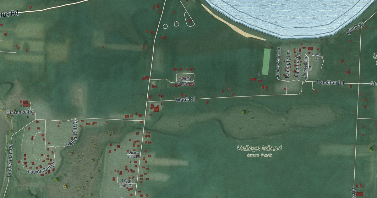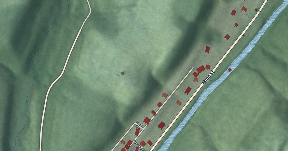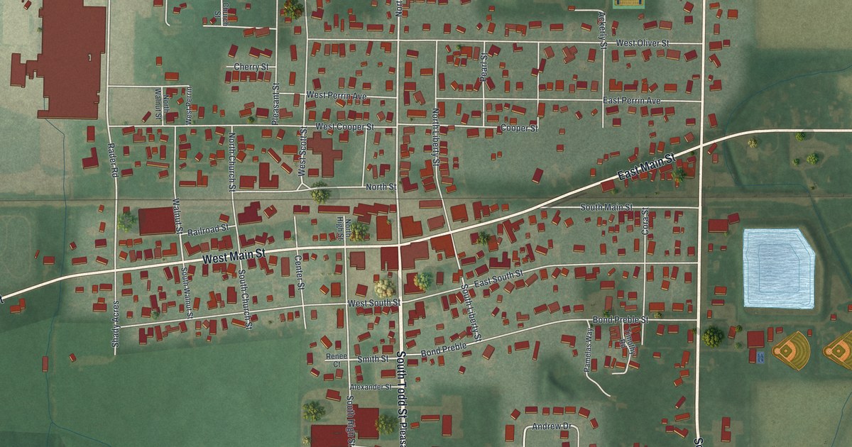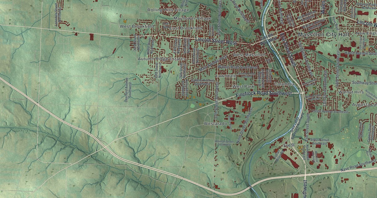
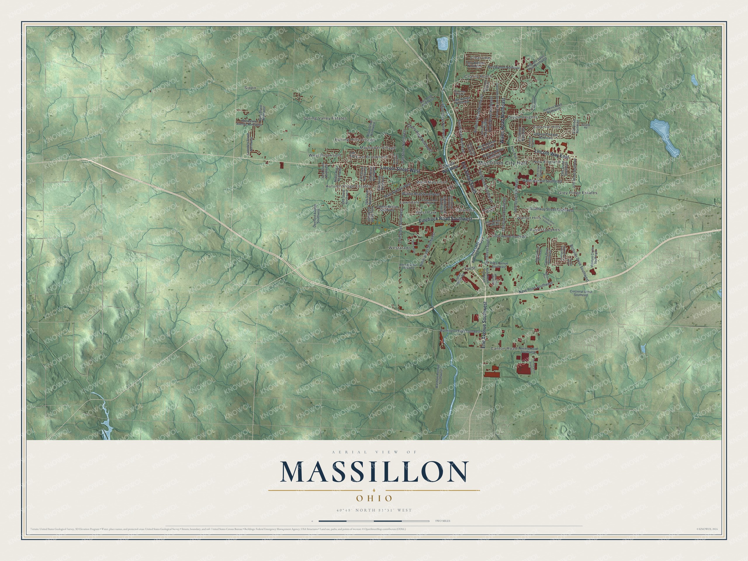
This beautifully detailed map of Massillon, Ohio was created in 2026 using aerial imagery combined with modern topographical, census, street and landmark data. It’s a one-of-a-kind view of Massillon that combines accurate data with a vintage aesthetic. The map shows every building in its true location, many of the roads carry their names, and the shaded topographic relief shows the shape of the land.
Explore an aerial view of Massillon, Ohio
On the map you’ll find Massillon City Hall, Augusta Lakes, Autumn Ridge Estates, Charity Rotch, Clearview, Colonial Hills, Columbia, East Brookfield, Grey Ridge Estates, Lawndale, and Mayflower Village, along with Canton Road, and more. If you look closely you can even find your house accurately drawn in its correct location. Zoom in on the preview to look for yours.
Take a closer look at the Massillon map
Street and place names on the Massillon, Ohio map
These names are printed on the map of Massillon, Ohio.
Places: Massillon City Hall, Augusta Lakes, Autumn Ridge Estates, Canton Road, Charity Rotch, Clearview, Colonial Hills, Columbia, East Brookfield, Grey Ridge Estates, Lawndale, Mayflower Village, New England, Rolling Hills Village, Sippo, Sippo Heights, Spring Valley Estates, Walnut Hills, West Brookfield, West Massillon, West Park and Westarado.
Streets and roads: Lincoln Street West, Erie Street South, Finefrock Road Southwest, Erie Avenue Southwest, Lincoln Way East, Wales Road Northeast, First Street Northeast, Erie Street, 17th Street Northwest, 17th Street Southwest, Ninth Street Southwest, Nave Road Southwest.
More street names, A to Z
13th Street Southeast, 16th Street Southeast, 17th Street Northeast, 19th Street Northeast, 19th Street Northwest, 20th Street Southeast, 23rd Street Northwest, 25th Street Northwest, 25th Street Southeast, 26th Street Northwest, 27th Street Northeast, 27th Street Northwest, 27th Street Southeast, 29th Street Northwest, 32nd Street Northwest, Access Road, Albrecht Street Southwest, Alpha Street Northwest, Amherst Road Northeast, Augusta Drive Southeast, Bison Street Northwest, Bostic Boulevard, Bowling Green Drive Southeast, Burd Avenue Northeast, Carlene Avenue Southwest, Cherry Road Northwest, Cincinnat Street Southeast, Colonial Parkway Northeast, Cyprus Drive Southeast, Deerford Avenue Southwest, Dexter Road Northeast, Earl Road Northwest, Eighth Street Northeast, Eighth Street Southwest, Eleventh Street Northeast, Erb Court, Forest Avenue Southeast, Gail Avenue Northeast, Great Lakes Boulevard Northwest, Hankins Road Northwest, Harsh Avenue Southeast, Hess Boulevard, Hills and Dales Road Northwest, Indian River Road, Kelly Street Southwest, Lake Avenue Northeast, Lanedale Street Northwest, Lee Avenue, Lincoln Way West, Main Avenue West, Navarre Road Southwest, Nave Road Southeast, Noble Place Northwest, North Avenue Northeast, Nova Drive Southeast, Overlook Avenue Southwest, Pearl Avenue Southeast, Richville Drive Southeast, Richville Drive Southwest, Shriver Avenue Southeast, Sixth Street Southwest, Southway Street Southwest, Sterilite Street Southeast, Tenth Street Northeast, Terry Avenue Northeast, Third Street Northeast, Third Street Northwest, Third Street Southeast, Valerie Avenue Northeast, Venture Circle Southeast, Veterans Boulevard, Vista Avenue Southeast, Wallace Avenue Southeast, Walnut Road Southwest, Warmington Road Southwest, Warmont Avenue Southwest, Woodstone Avenue Northwest, Wright State Drive.
See the Massillon, Ohio map on a wall
The Massillon map as an 18 x 24 inch print in a black frame.

This beautifully detailed map of Massillon makes an attractive addition to your office, library, or den, and it can even be used to teach children the geography and history of the area. It also makes a great gift for anyone with Massillon roots. When you’re done exploring, click here to get your copy of the Massillon map.