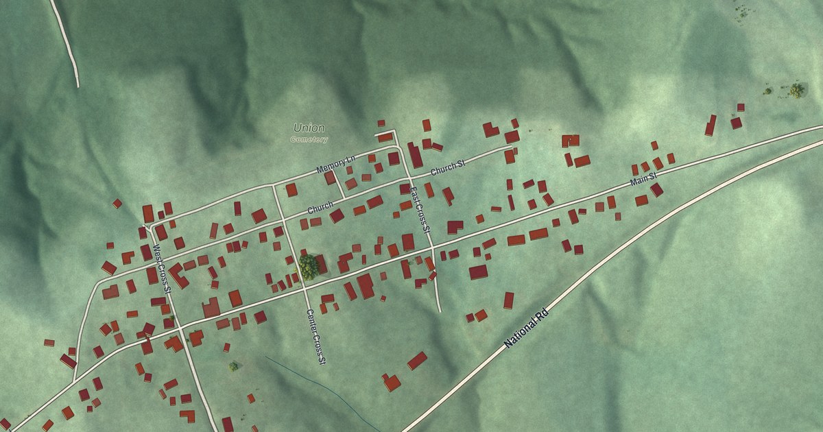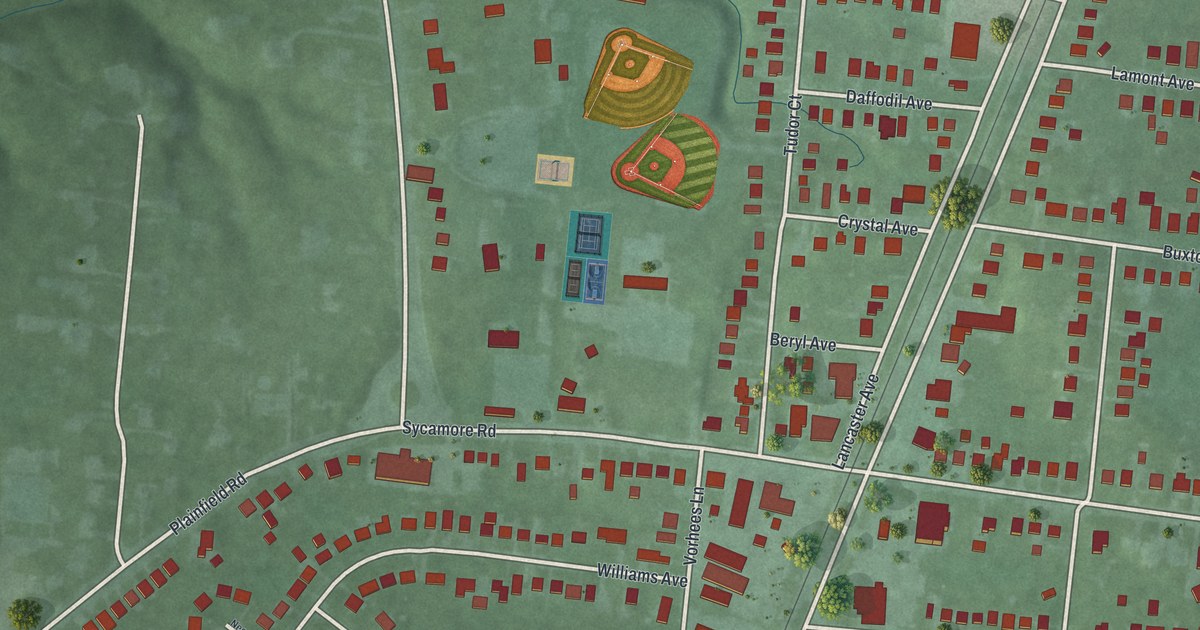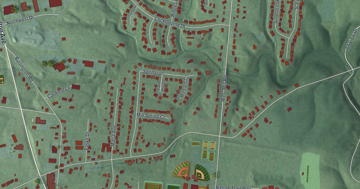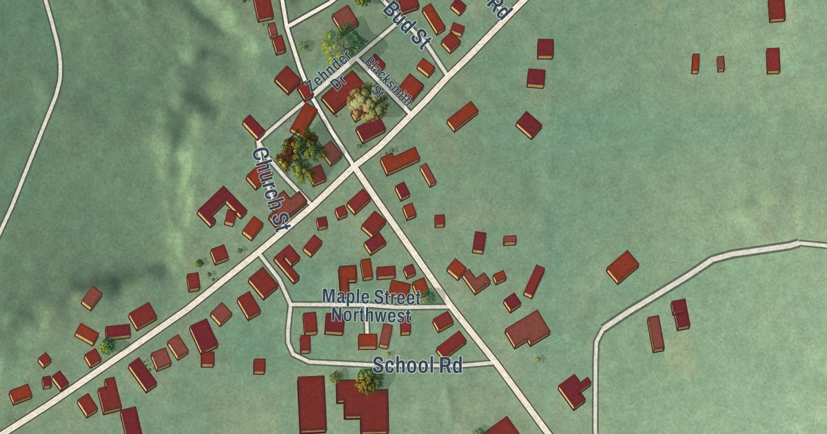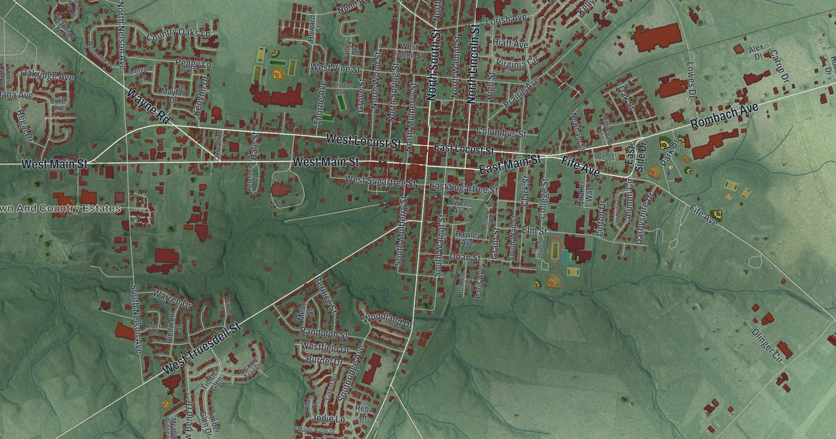
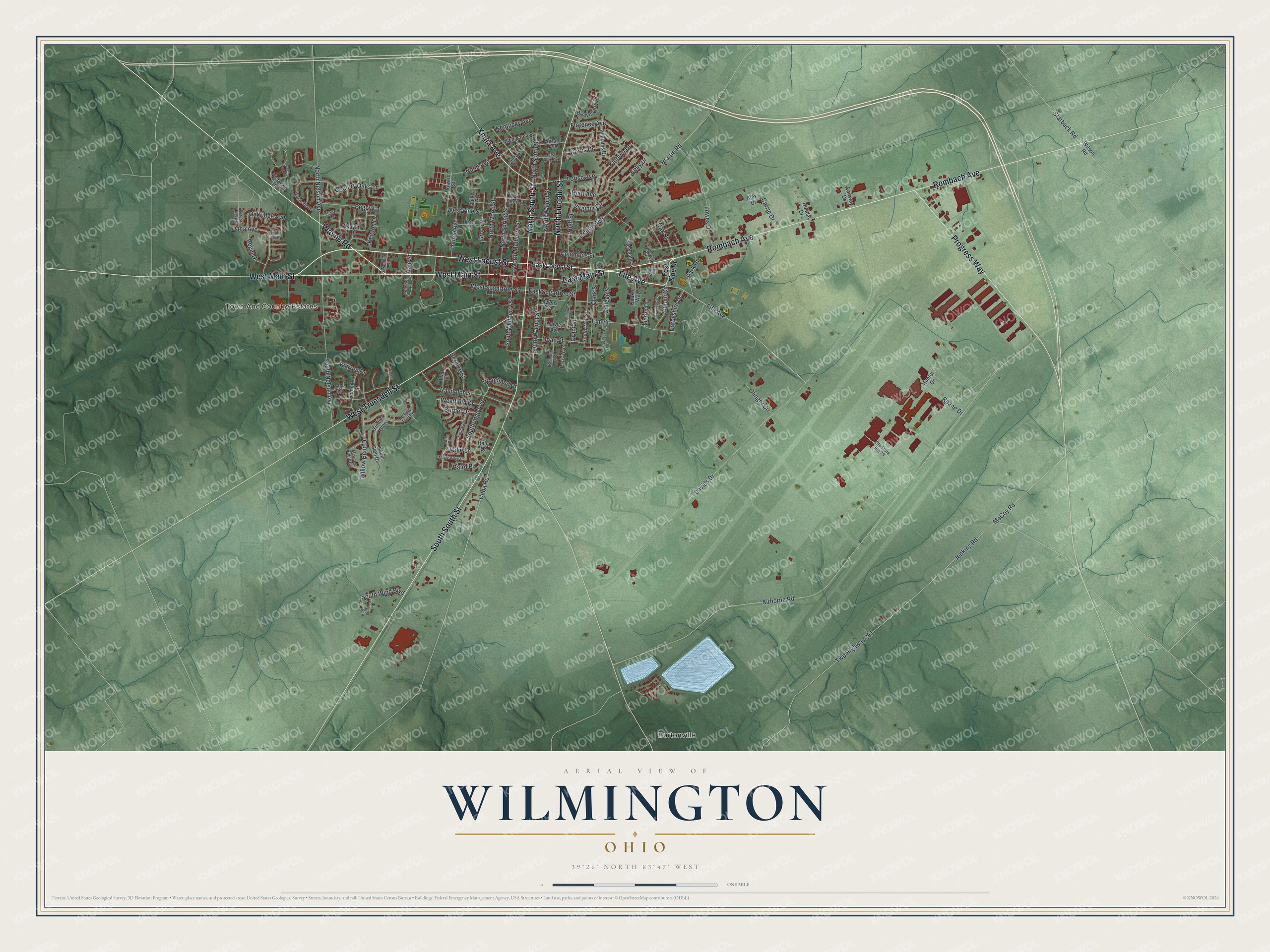
This beautifully detailed map of Wilmington, Ohio was created in 2026 using aerial imagery combined with modern topographical, census, street and landmark data. It’s a one-of-a-kind view of Wilmington that combines accurate data with a vintage aesthetic. The map shows every building in its true location, many of the roads carry their names, and the shaded topographic relief shows the shape of the land.
Explore an aerial view of Wilmington, Ohio
On the map you’ll find Town And Country Estates and Burtonville, along with North South Street, East Main Street, Fife Avenue, Wayne Road, West Locust Street, West Truesdell Street, Rombach Avenue, West Main Street, Progress Way, North Lincoln Street, and more. If you look closely you can even find your house accurately drawn in its correct location. Zoom in on the preview to look for yours.
Did you know this piece of Wilmington, Ohio history?
Wilmington began in 1810 as the town of Clinton, seat of the new Clinton County, and took its present name in 1811. By local claim, the banana split was first made there in 1907. In the mid-1990s the city started a yearly Banana Split Festival to honor that story.
Take a closer look at the Wilmington map
Street and place names on the Wilmington, Ohio map
These names are printed on the map of Wilmington, Ohio.
Places: Town And Country Estates and Burtonville.
Streets and roads: North South Street, East Main Street, Fife Avenue, Wayne Road, West Locust Street, West Truesdell Street, South South Street, Rombach Avenue, West Main Street, Progress Way, North Lincoln Street, Xenia Avenue.
More street names, A to Z
Airborne Road, Alex Drive, Alumni Circle, Applegate Street, Baird Place, Belmont Avenue, Bernice Street, Booth Avenue, Brownberry Drive, Burdel Drive, Cape May Drive, Carrie Drive, Center Street, Clark Street, Clinton Street, College Street, Columbus Street, Country Oaks Lane, Cuba Road, Curtis Drive, Dana Avenue, Darbyshire Drive, Davids Drive, Doan Street, East Locust Street, East Ruby Avenue, East Side Drive, East Sugartree Street, Elm Street, Fairland Avenue, Fairway Drive, Florence Avenue, Forest Lake Drive, Graham Drive, Grant Street, Grove Street, Hale Street, Hawley Avenue, Hiatt Avenue, Hickory Trail Drive, High Street, Holiday Drive, Howard Street, Hunter Drive, Jenkins Road, Jodie Lane, Josephine Street, Kathryn Drive, Kelly Drive, Kentucky Avenue, Kenyon Drive, Langdon Avenue, Lanyard Lane, Lawnview Drive, Linhof Road, Linton Drive, Lorish Avenue, Lowes Drive, Maple Ridge Drive, Mayfair Drive, McCoy Road, Meadow Ridge Circle, Mead Street, Michigan Avenue, Newham Street, North Mulberry Street, North Nelson Avenue, North Spring Street, North Walnut Street, North Wood Street, Nunn Avenue, Oakridge Avenue, Oak Street, Ohio Avenue, Old State Route 73, Olinger Circle, Owens Avenue, Paris Avenue, Park Drive, Peggy Lane, Peterson Place, Piedmont Street, Prairie Avenue, Prairie Road, Quaker Way, Randolph Street, Reba Drive, Regal Drive, Ridge Road, Rita Place, Ruane Drive, South Mulberry Street, South Nelson Avenue, Southridge Avenue, South Wall Street, South Walnut Street, South Wind Boulevard, Starbuck Road, Taylor Drive, Thorne Avenue, Timber Glen, Timber Glen Drive, Timber Lane, Twp Highway 261, Valley Street, Victorian Drive, Virginia Circle, Warren Drive, Westfield Drive, West Fulton Street, West Sugartree Street, West Vine Street, Williams Drive, Willow Bend Drive, Wilson Road, Woodland Drive, Woodside Drive.
See the Wilmington, Ohio map on a wall
The Wilmington map as an 18 x 24 inch print in a black frame.

This beautifully detailed map of Wilmington makes an attractive addition to your office, library, or den, and it can even be used to teach children the geography and history of the area. It also makes a great gift for someone who left Wilmington and still calls it home. When you’re done exploring, click here to get your copy of the Wilmington map.