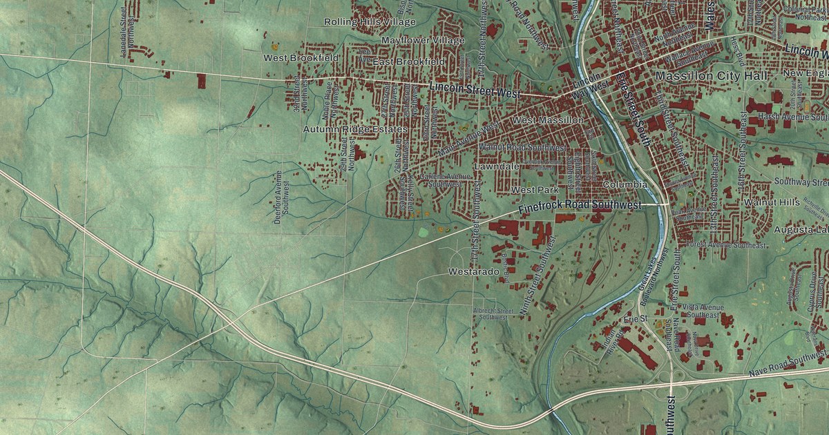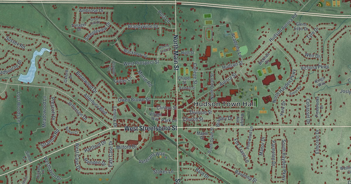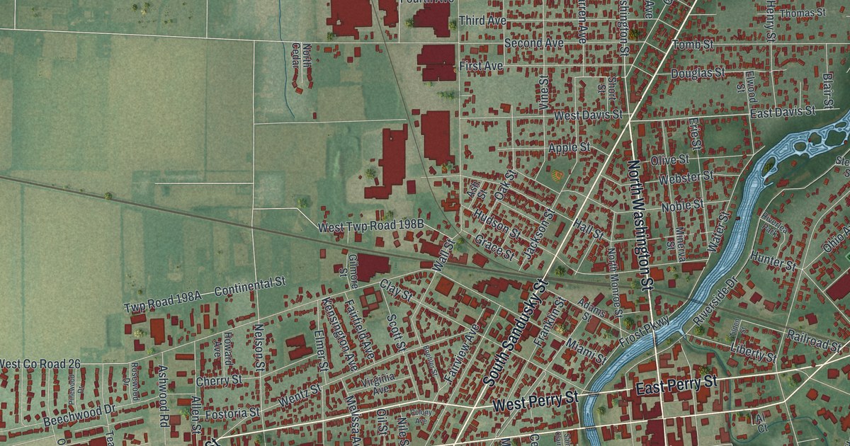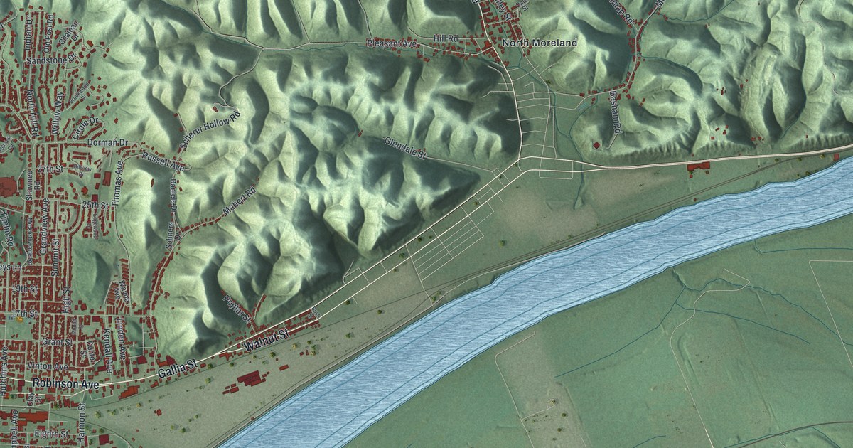
If you grew up in Portsmouth or have family here, look for a familiar block on this print. This modern aerial view of Portsmouth in Scioto County, Ohio pairs modern data with a vintage feel. Red buildings fill the street grid beside a broad blue river. Green hills rise behind town, with Sciotoville and North Moreland named farther across the sheet.
Front Street and Portsmouth's river story
On this map you'll find Chillicothe Street, Gallia Street, Portsmouth City Hall, Sciotoville, Front Street, Second Street, Washington Street, Court Street, Waller Street, Scioto Trail, Greenlawn Cemetery, North Moreland, and more. Each red shape is a building, so zoom in on the preview and look for yours.
The Portsmouth and the Ohio River historical marker tells how floods shaped the city's start. Alexandria was laid out in 1799 where the Scioto meets the Ohio. Frequent floods drove settlers across the Scioto to higher ground in Portsmouth. Portsmouth was laid out in 1803. By 1814, it had become Scioto County's seat and business center. The city's three-mile levee, first built in 1908, failed in the 1937 flood. It was improved afterward. On the print, the blue river bends beside the blocks around Front Street. You can see how closely the town and water sit together.
Keep Portsmouth and Sciotoville close
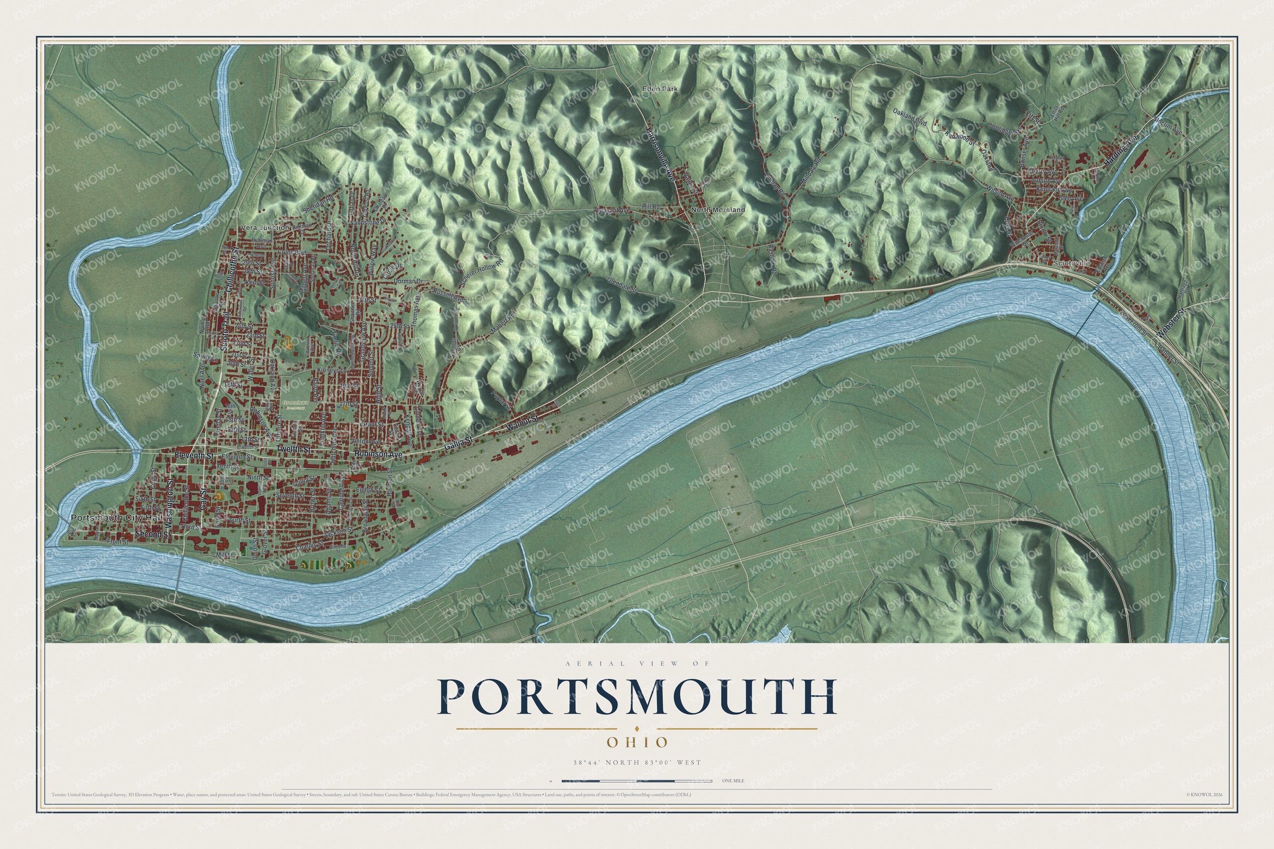
Created by KNOWOL in 2026, the print uses shaded green hills, blue water and deep red buildings. A cream title panel reads "AERIAL VIEW OF PORTSMOUTH" and "OHIO." Below it are the coordinates 38°44' NORTH 83°00' WEST.
Hang it in an office, den or living room where you can study the streets. It's a gift for someone who grew up in Sciotoville or moved away from Portsmouth. Open the preview and zoom in to find the blocks you know. See sizes and frames for the Portsmouth map.