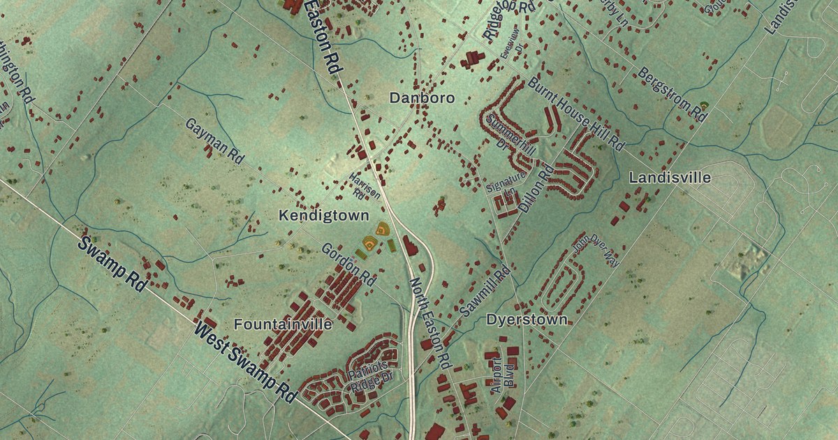
If you grew up in Plumsteadville, live off Durham Road, or have family near Point Pleasant, this map shows Plumstead Township and the country around it. It's a modern aerial view of Plumstead Township in Bucks County, Pennsylvania, made from modern data and given a vintage look. Green hills are shaded across the paper, and each building is a small red shape. On the sheet, Fountainville and Dyerstown sit near the bottom. Point Pleasant is at the top right, beside a wide blue river. A long blue lake sits in the bottom left corner.
Durham Road, Plumsteadville and Point Pleasant on the map
On this map you'll find Durham Road, Easton Road, Old Easton Road, Swamp Road, Stump Road, Point Pleasant Pike, River Road, Tohickon Hill Road, Ferry Road, Plumsteadville, Danboro, Dyerstown, Fountainville, Gardenville, Point Pleasant, and more. Each red shape is a building, so zoom in on the preview and look for yours.
The Doans of Plumstead Township
During the Revolutionary War, members of Plumstead Township's Doan family spied for the British Army and sold it stolen horses. They robbed the county treasury in 1781. A Pennsylvania historical marker records that the state declared six members outlaws in 1783. The state marker record also says Moses was killed in a shoot-out, Abraham and Levi were hanged, Joseph Jr. and Aaron fled to Canada, and Mahlon disappeared.
The marker record places the Doan story on Point Pleasant Pike at Gardenville. Both names are printed near the center of the map, so the spot is easy to find.
A map for someone from Plumsteadville or Point Pleasant
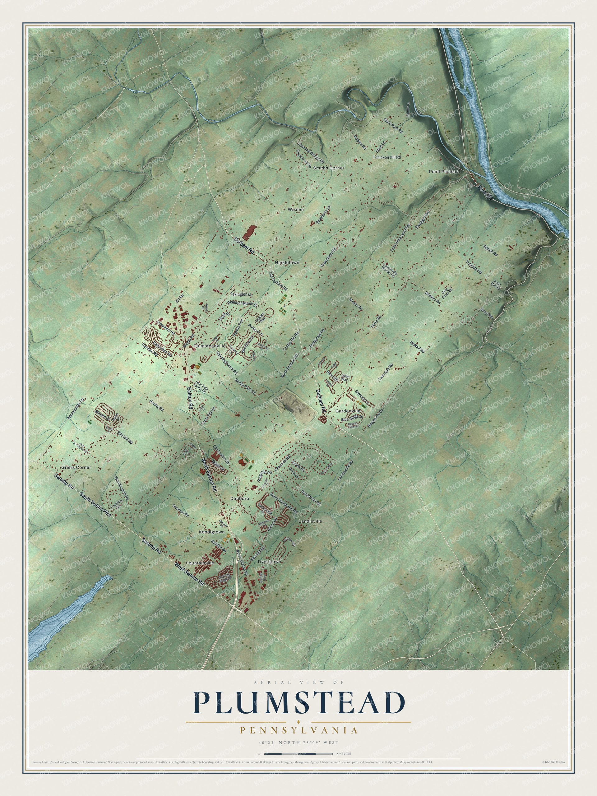
Created by KNOWOL in 2026, this map of Plumstead shows the township's roads, buildings and streams over soft green hills. The title panel reads "Aerial View of Plumstead, Pennsylvania," with the coordinates 40°23' North, 75°09' West.
It suits a den, a home office or a kitchen wall. It's a thoughtful gift for someone who grew up in Plumsteadville or Danboro, or who has family near Point Pleasant. Open the preview, find Durham Road, and follow it to a road you know. See sizes and frames for the Plumstead map.