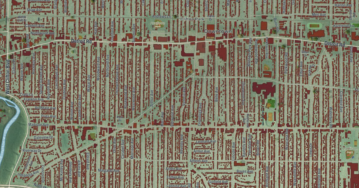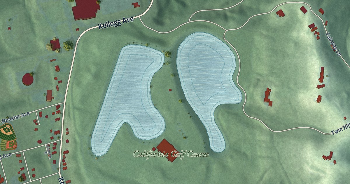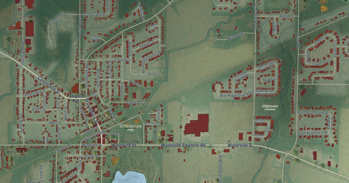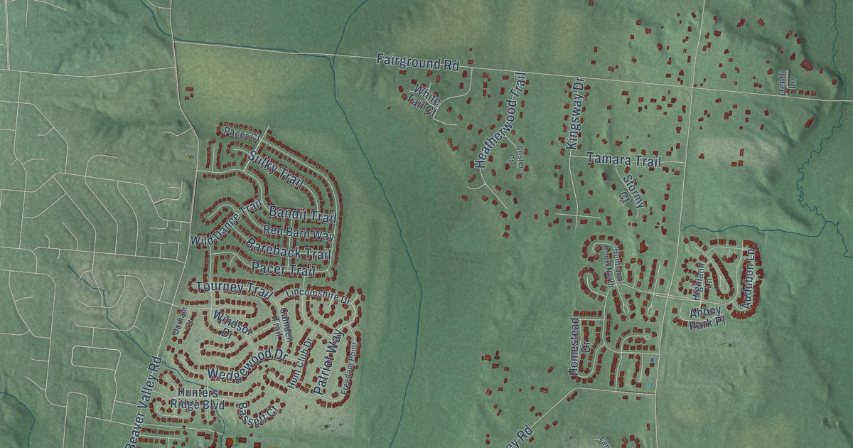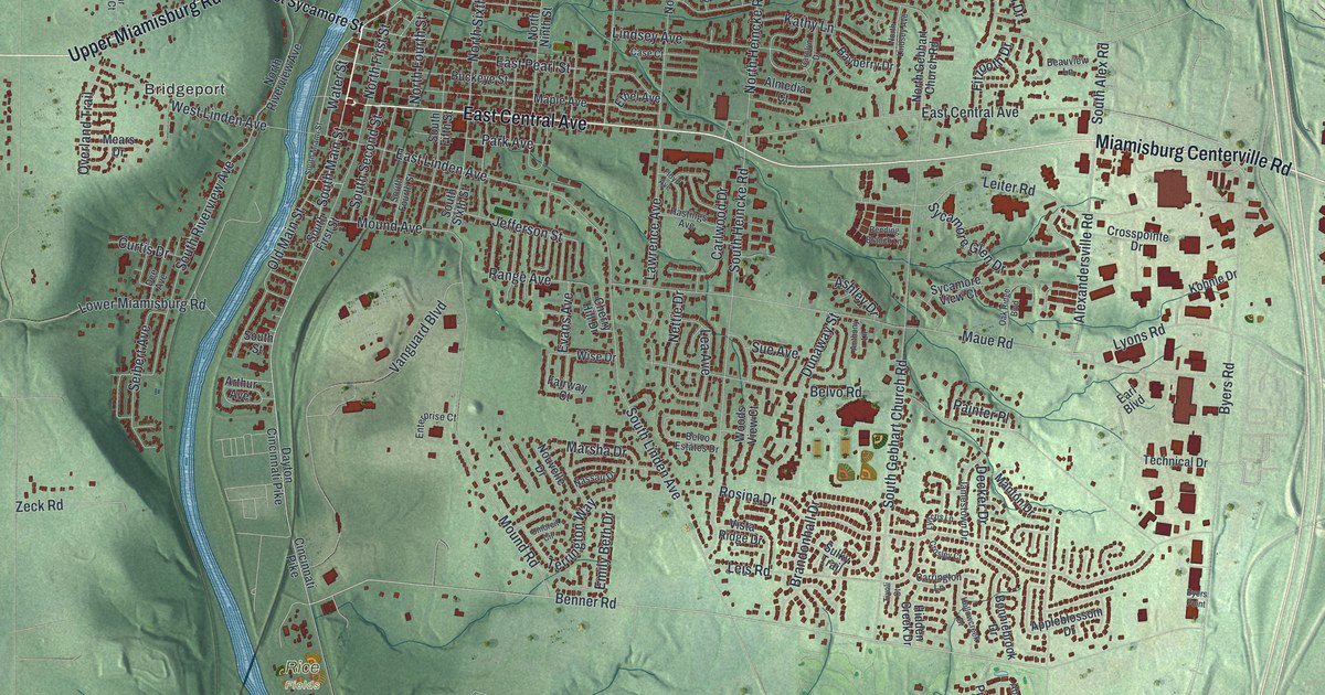
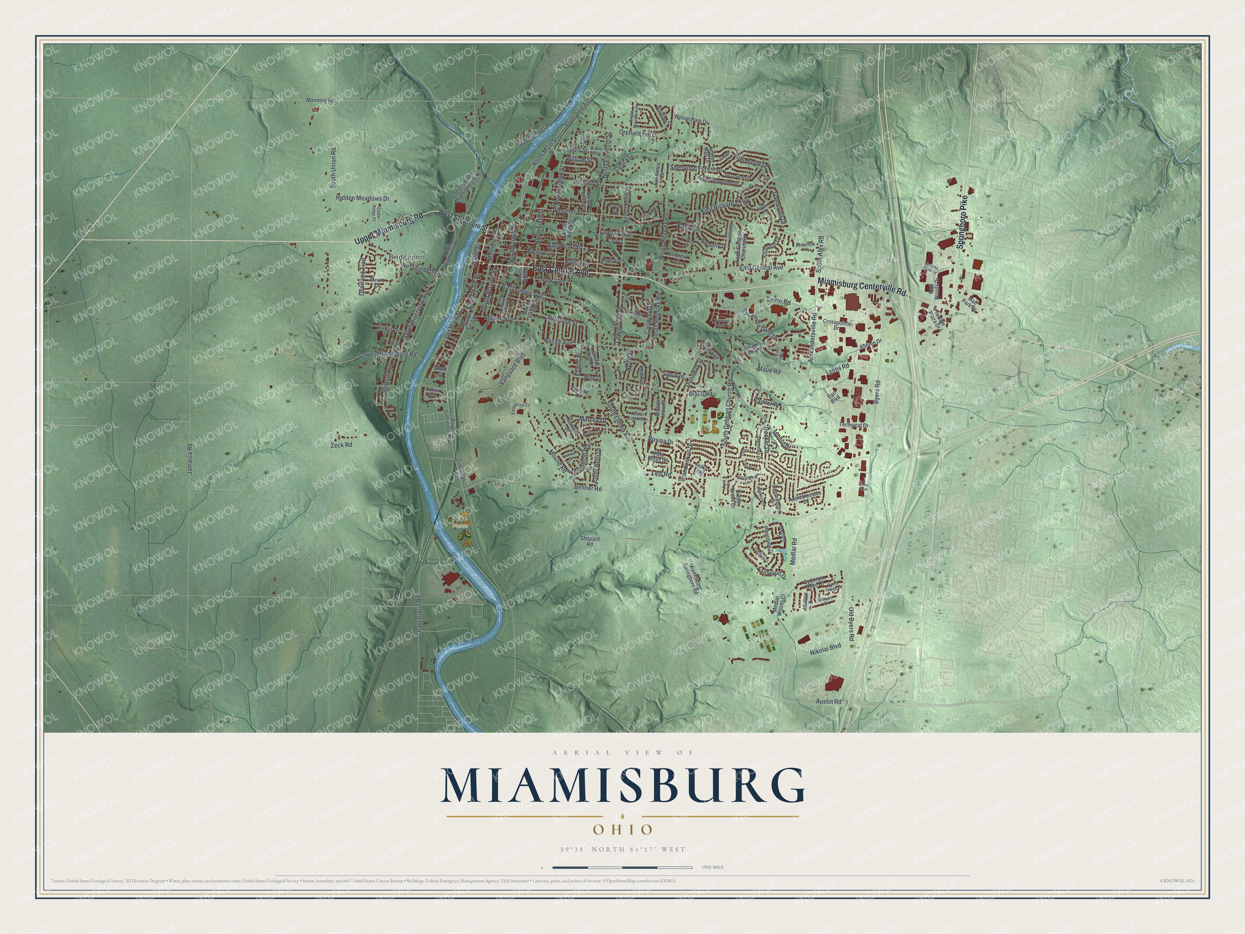
This beautifully detailed map of Miamisburg, Ohio was created in 2026 using aerial imagery combined with modern topographical, census, street and landmark data. It’s a one-of-a-kind view of Miamisburg that combines accurate data with a vintage aesthetic. The map shows every building in its true location, many of the roads carry their names, and the shaded topographic relief shows the shape of the land.
Explore an aerial view of Miamisburg, Ohio
On the map you’ll find Bridgeport and Rice Fields, along with East Central Avenue, Miamisburg Centerville Road, Springboro Pike, Upper Miamisburg Road, Benner Road, South Main Street, North Main Street, Alexandersville Road, Fairwood Drive, Lower Miamisburg Road, and more. If you look closely you can even find your house accurately drawn in its correct location. Zoom in on the preview to look for yours.
Did you know this piece of Miamisburg, Ohio history?
On July 8, 1986, a Baltimore and Ohio train derailed in Miamisburg. Tank cars exploded and released phosphorus, and a thick white cloud spread over nearby towns. Between 25,000 and 40,000 people were evacuated. It was then the biggest U.S. evacuation from a train wreck, and the largest in Ohio history.
Take a closer look at the Miamisburg map
Street and place names on the Miamisburg, Ohio map
These names are printed on the map of Miamisburg, Ohio.
Places: Bridgeport and Rice Fields.
Streets and roads: East Central Avenue, Miamisburg Centerville Road, Springboro Pike, Upper Miamisburg Road, Benner Road, South Main Street, North Main Street, Alexandersville Road, Fairwood Drive, Lower Miamisburg Road, William Street, Maue Road.
More street names, A to Z
Aberfield Lane, Almedia Court, Anthony Lane, Appleblossom Drive, Arthur Avenue, Ashley Drive, Austin Road, Bayberry Drive, Beauview Lane, Belvo Estates Drive, Belvo Road, Bending Branch Lane, Blanche Drive, Bonniebrook Drive, Brandonhall Drive, Buckeye Street, Byers Point, Byers Ridge Drive, Byers Road, Cambray Court, Carlwood Drive, Carolyn Drive, Carrington Lane, Case Court, Cedar Ridge Court, Chautauqua Road, Cherry Hill Drive, Cincinnati Pike, Crosley Court, Crosspointe Drive, Cudgell Drive, Curtis Drive, Dayton Cincinnati Pike, Decker Drive, Dee Avenue, Diana Avenue, Dunaway Street, Eagle Mountain Drive, Earl Boulevard, East Linden Avenue, East McGuire Street, East Pearl Street, Emily Beth Drive, Enterprise Court, Ethel Avenue, Evans Avenue, Fairway Court, Fitzooth Drive, Floyd Avenue, Gamewell Drive, Hastings Avenue, Hidden Creek Drive, Hidden Meadows Drive, Hollowcreek Drive, Jamaica Road, Jamestown Drive, Jefferson Street, Kathy Lane, Kercher Street, King Richard Parkway, Kirkley Hall Drive, Kohnle Drive, Lawrence Avenue, Lea Avenue, Leis Road, Leiter Road, Lindsey Avenue, Loop Street, Lord Fitzwalter Drive, Louis Street, Lyncris Lane, Lyons Road, Mall Park Drive, Mall Woods Drive, Manning Road, Manton Drive, Maple Avenue, Marsha Drive, Mears Drive, Medlar Road, Medlar Woods Court, Mellow Drive, Miamisburg Springboro Road, Mound Avenue, Mound Road, Nassau Drive, Nettie Drive, Nikolai Boulevard, North Eighth Street, North Eleventh Street, North First Street, North Fourth Street, North Gebhart Church Road, North Heincke Road, North Lindsey Avenue, North Ninth Street, North Riverview Avenue, North Sixth Street, North Tenth Street, North Twelfth Street, Nouvelle Drive, Oakbark Street, Oak Ridge Boulevard, Old Byers Road, Old Main Street, Opal Avenue, Orchard Hill Drive, Overland Trail, Painter Place, Park Avenue, Pipestone Drive, Prestige Plaza Drive, Range Avenue, Richard Street, Robinhood Drive, Rosina Drive, Seibert Avenue, Shepard Road, Sherwood Forest Drive, Sir Lockesley Drive, Soldiers Home Miamisburg Road, South Alex Road, South Dixie Avenue, South Fifth Street, South First Street, South Fourth Street, South Gebhart Church Road, South Heincke Road, South Linden Avenue, South Miami Street, South Riverview Avenue, South Second Street, South Sixth Street, South Street, South Union Road, Sue Avenue, Sulky Trail, Summit Glen Drive, Sundance Drive, Sycamore Glen Drive, Sycamore View Court, Sydneys Bend Drive, Technical Drive, Terrington Way, Thayer Avenue, Tivoli Court, Umbreit Circle, Upper River Road, Vanguard Boulevard, Vista Ridge Drive, Water Street, West Linden Avenue, West Sycamore Street, Whisper Drive, Wilson Park Drive, Wise Drive, Woods View Court, Zeck Road.
See the Miamisburg, Ohio map on a wall
The Miamisburg map as an 18 x 24 inch print in a black frame.

This beautifully detailed map of Miamisburg makes an attractive addition to your office, library, or den, and it can even be used to teach children the geography and history of the area. It also makes a great gift for anyone who grew up in Miamisburg or moved away. When you’re done exploring, click here to get your copy of the Miamisburg map.