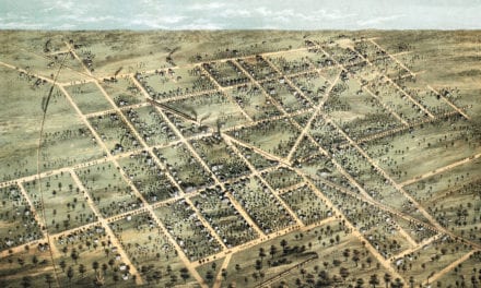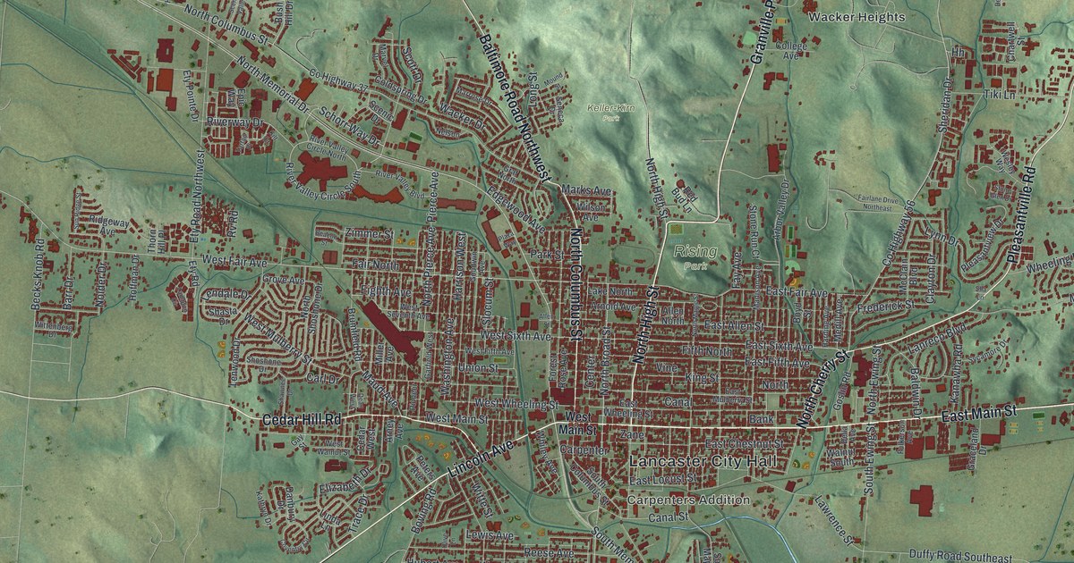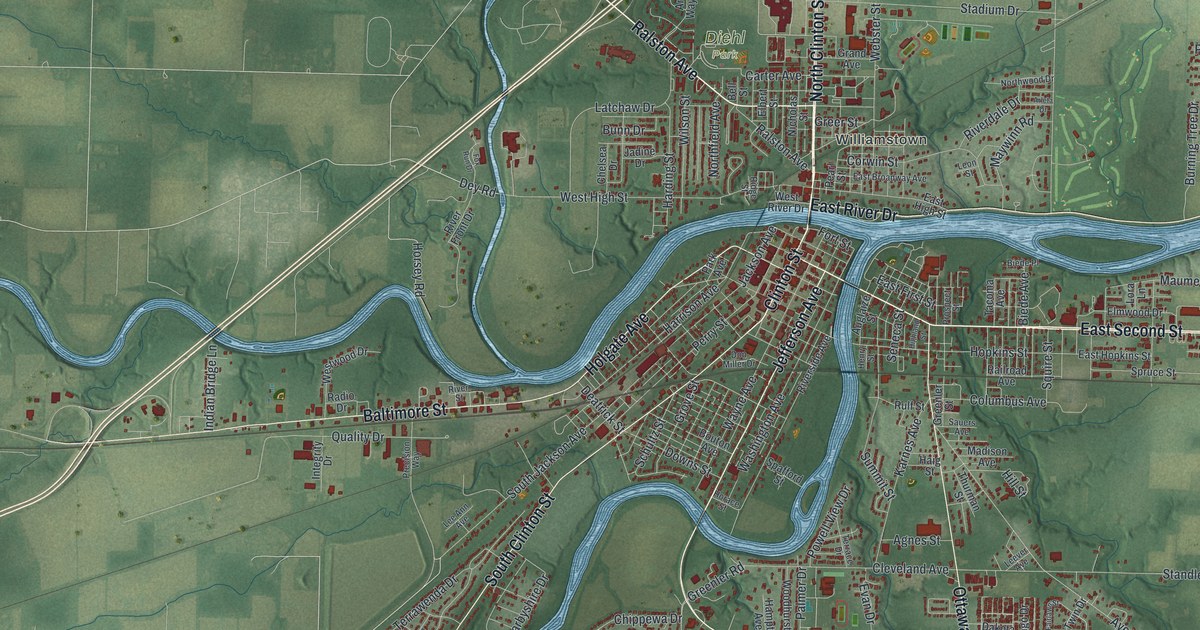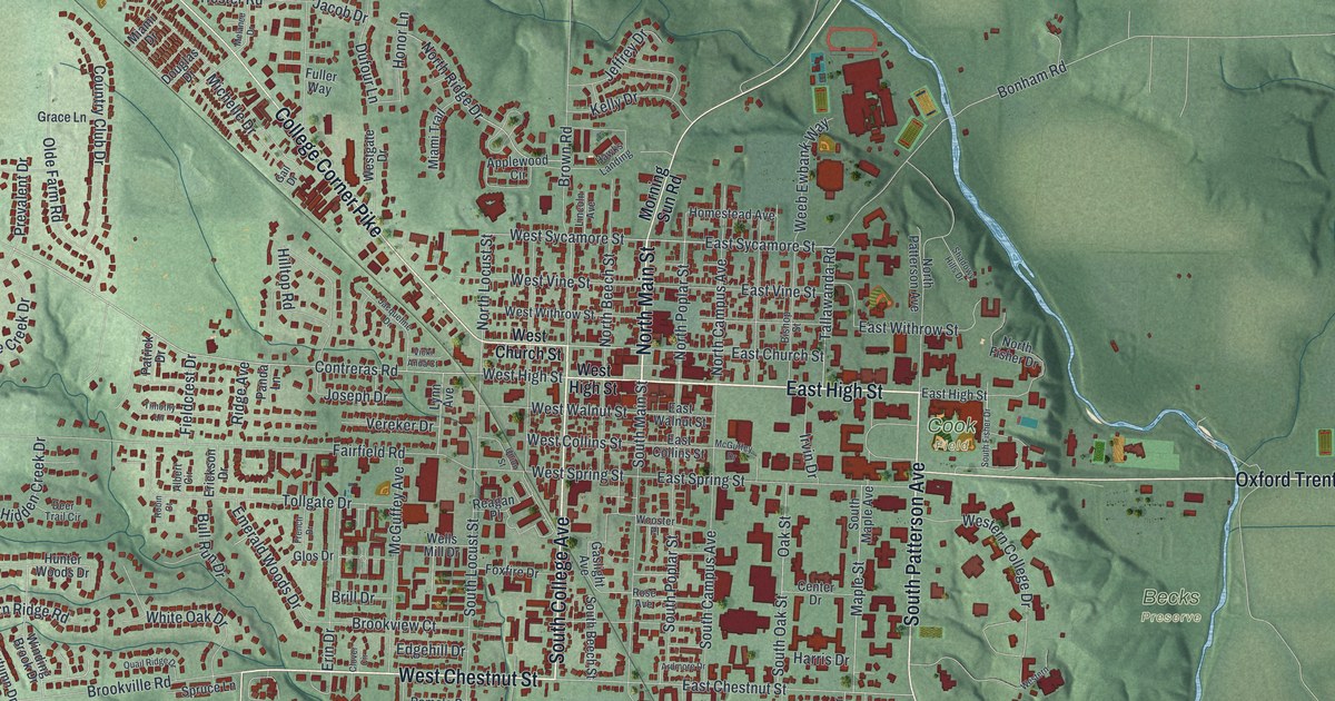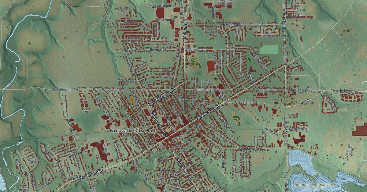
If you grew up in Norwalk, this print puts your home streets within reach. It's a modern aerial view of Norwalk in Huron County, Ohio, made with modern data and a vintage feel. Red buildings fill the town's blocks, with blue water and green land around them.
West Elm Street and Paul Brown
On this map you'll find West Main Street, East Main Street, Milan Avenue, Benedict Avenue, Norwalk City Hall, West Elm Street, Whittlesey Avenue, Gallup Avenue, East League Street, Cleveland Road, Key Estates, and more. Each red shape is a building, so zoom in on the preview and look for yours.
West Elm Street has a place in football history. According to the Paul E. Brown historical marker, Brown was born at 7 West Elm Street on September 7, 1908. He went to Benedict Elementary before his family moved to Massillon. You can find his first street by name on this map.
Brown later coached Massillon's high school team to an 80-8-2 record. He used playbooks, hand signals and plays sent in from the sideline. At Ohio State, he led the Buckeyes to the 1942 national title. In 1945, he agreed to coach Cleveland's new pro team. Fans voted to name it after him, despite his objections. That's how a boy born in Norwalk became the namesake of the Browns.
Norwalk's Streets on Your Wall
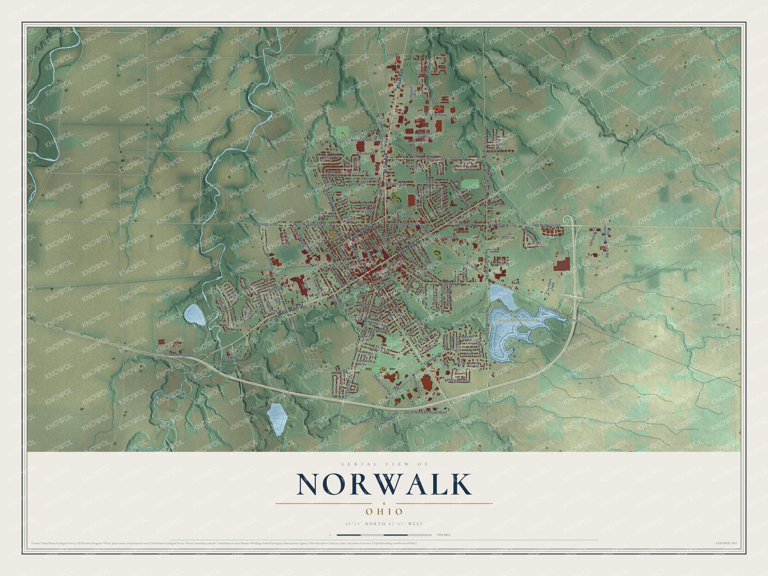
Created by KNOWOL in 2026, this print pairs muted green terrain with red buildings and pale blue water. A cream border surrounds the map. The title panel reads AERIAL VIEW OF NORWALK, OHIO, with 41°15' NORTH 82°37' WEST below.
Hang it in a living room, home office or entryway. It's a gift for someone who grew up near West Main Street, or family who moved away from Norwalk. Open the preview and look for the block you'd like to keep close. See sizes and frames for the Norwalk map.