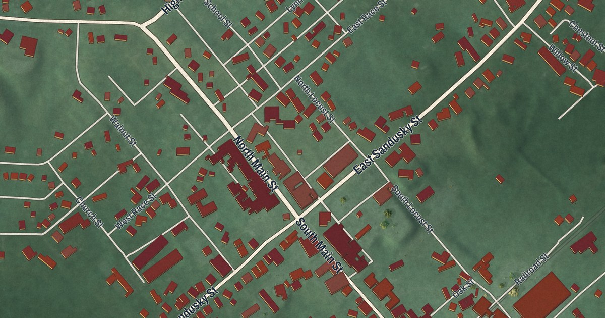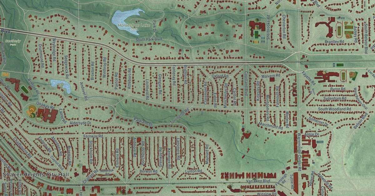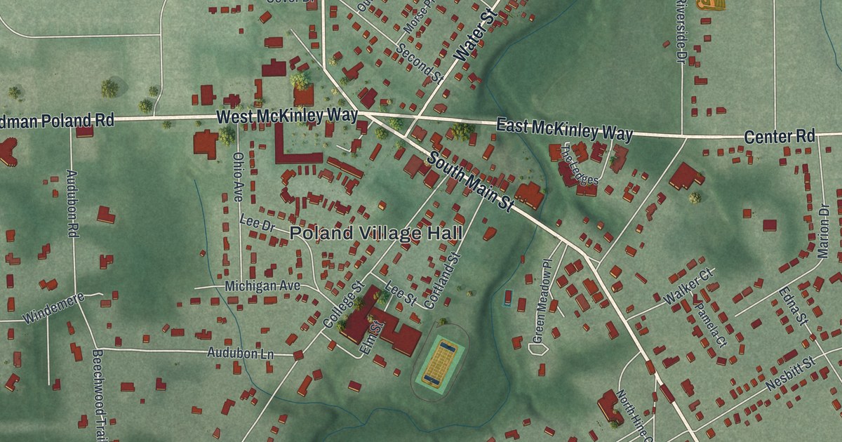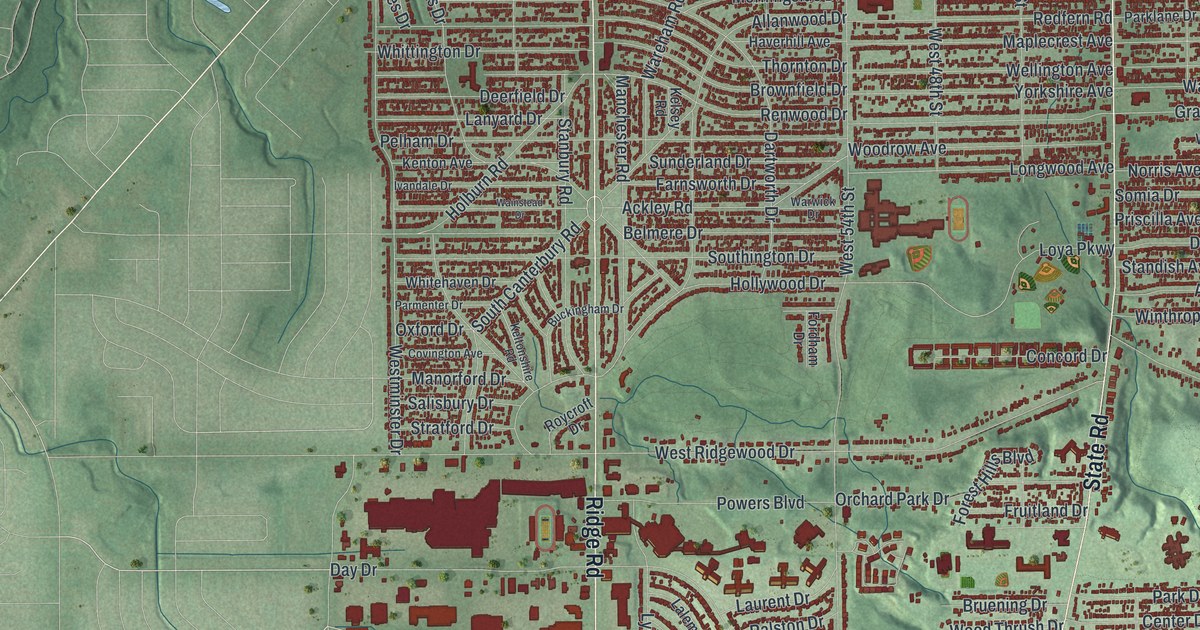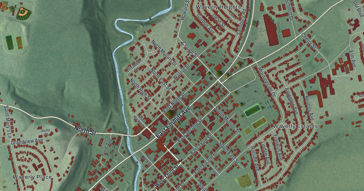
If you grew up in Waverly, you know Emmitt Avenue and the green hills around town. This is a modern aerial view of Waverly in Pike County, Ohio, made from modern data and given a vintage artistic feel. Each building shows up as a small red shape. You can see the old downtown grid, the curving streets of Waverly Heights and Waverly Estates, and Bristol Village to the east. A wide blue river cuts across the bottom of the sheet. A creek winds down out of the hills at the top.
The Canal Ran Along Emmitt Avenue
On this map you'll find Emmitt Avenue, North Market Street, South Market Street, East Second Street, West Second Street, Bridge Street, North High Street, Lake White Road, Clough Street, Walnut Street, Bristol Park, Evergreen Cemetery, Waverly Heights, Glen Jean, and more. Each red shape is a building, so zoom in on the preview and look for yours.
Emmitt Avenue used to have a different name. It was called Water Street, and the Ohio and Erie Canal ran right along it through Waverly. That's what the Ohio History Connection marker for the Ohio and Erie Canal tells us. The canal was built between 1825 and 1832. It linked Cleveland on Lake Erie to Portsmouth on the Ohio River. It was only four feet deep, with tow paths on each side. Farmers could now ship their crops to bigger markets. The marker says the canal helped end the feeling of isolation in Ohio. Parts of it can still be seen in Waverly today.
James Emmitt and the Emmitt House
James Emmitt made his name beside that canal. He was a Waverly businessman and the first millionaire of Pike County. In 1861 he built The Emmitt House, a tavern and store for canal travelers. The canal passed right in front of it. Part of the work was done by carpenter Madison Hemings, who said he was a son of President Thomas Jefferson. The Emmitt House sits where North Market Street meets West Emmitt Avenue. That same year, county voters moved the county seat from Piketon to Waverly. The courthouse went up on East Second Street, near South Market Street.
Keep Emmitt Avenue and Bristol Park Close
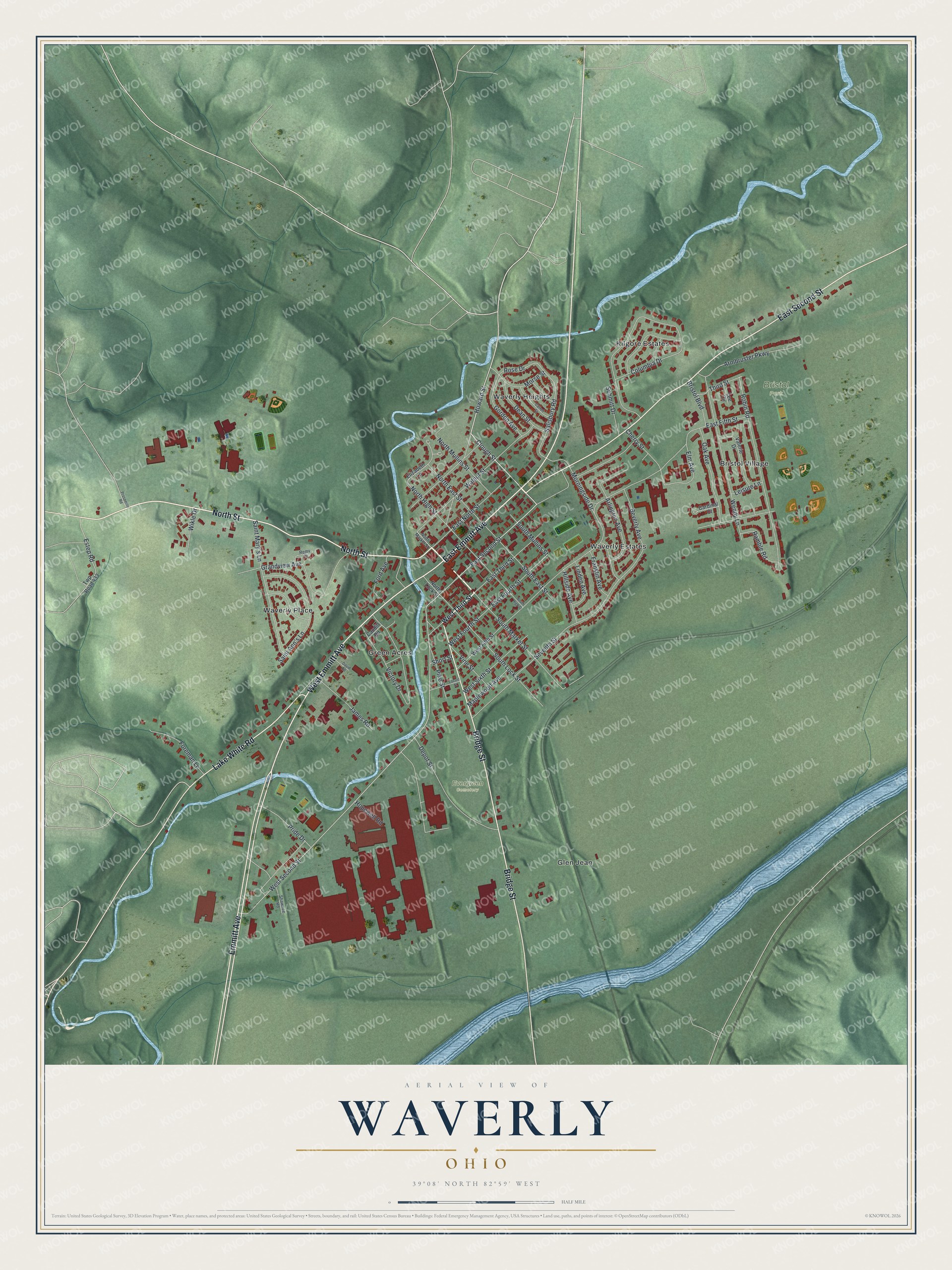
Created by KNOWOL in 2026, this print shows Waverly in soft greens, with shaded hills, blue water and red buildings. The title panel reads "Aerial View of Waverly, Ohio" with the coordinates 39°08' North 82°59' West.
It fits well in a living room, a den or an office. It makes a good gift for someone who grew up near Bristol Park or who moved away from Pike County. Open the preview and find your street. See sizes and frames for the Waverly map.