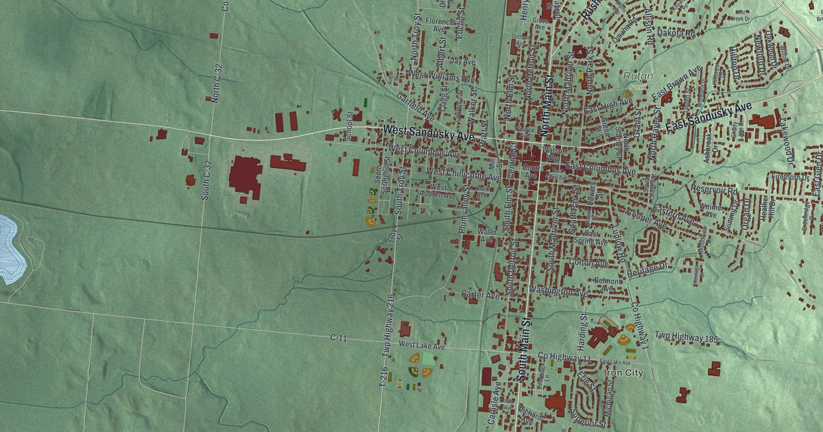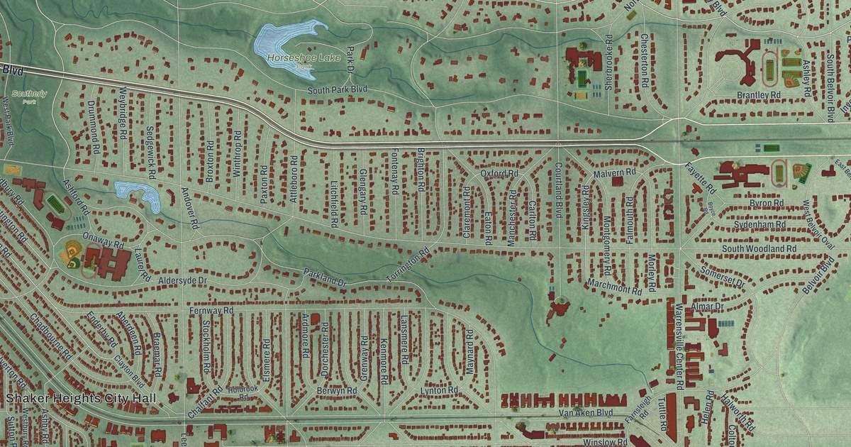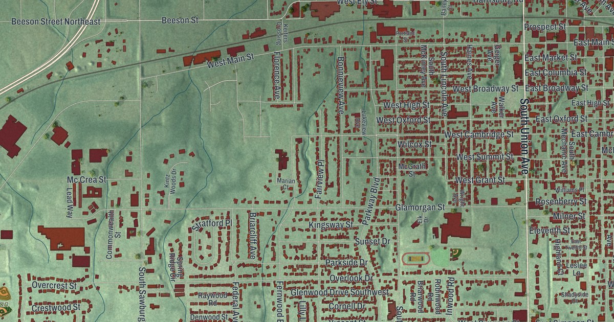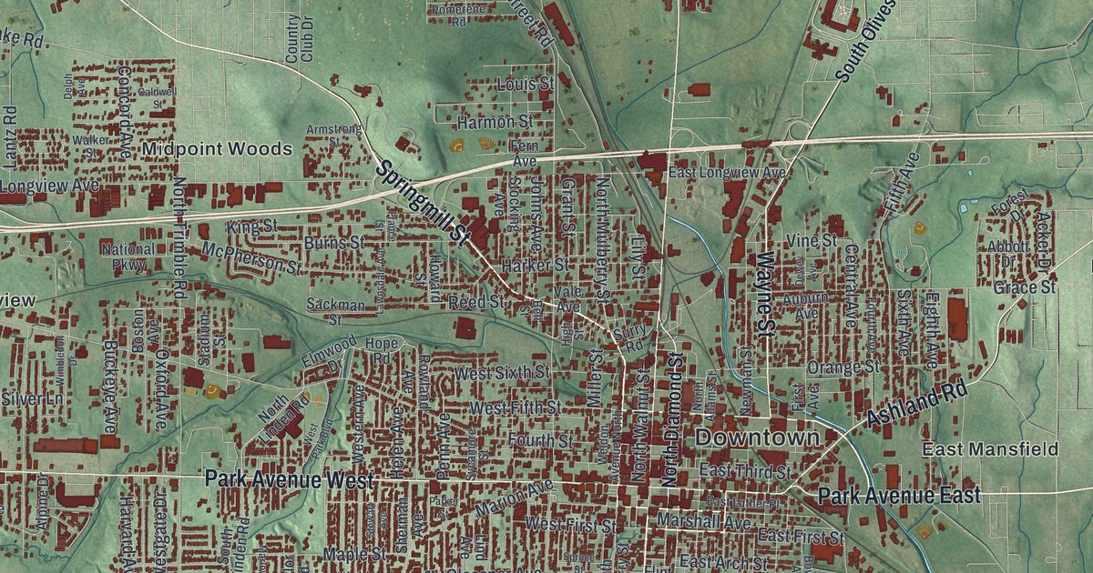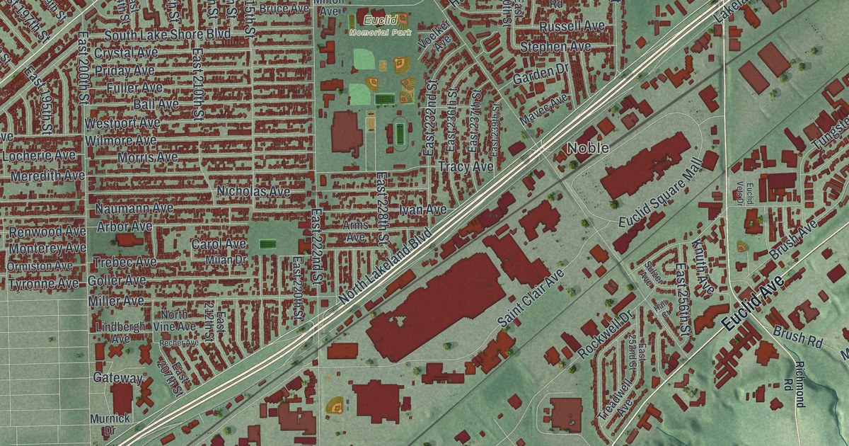
If you grew up along Lakeshore Boulevard or spent summer days at Sims Park, this map is for you. It's a modern aerial view of Euclid in Cuyahoga County, Ohio, made from modern data and given a vintage look. A wide blue lake fills the upper left corner. Rows of red homes line the shore, and a rail line cuts across the middle of town. To the south, green hills and deep creek valleys fold toward the bottom edge.
Euclid Avenue, Sims Park and your street
On this map you'll find Euclid Avenue, Lakeshore Boulevard, Chardon Road, Saint Clair Avenue, East 222nd Street, East 260th Street, Babbitt Road, Lloyd Road, Tungsten Road, Sims Park, Euclid Memorial Park, Hillandale Park, Euclid Square Mall, Noble, and more. Each red shape is a building, so zoom in on the preview and look for yours.
Euclid Avenue and the 1926 zoning case
By 1922, the Ambler Realty Company of Cleveland owned 68 acres in Euclid. The land sat between Euclid Avenue and the Nickel Plate rail line. The company planned to use it for industry. So the Euclid Village Council passed a zoning code. It was based on building rules from New York City. Ambler sued the village and said the rules cut the value of its land. Its lawyer was Newton D. Baker, a former Cleveland mayor. In 1926, the U.S. Supreme Court ruled for Euclid. The court said local governments had the right to make zoning and land use rules. The case is called Euclid v. Ambler Realty, and a state historical marker on Euclid Avenue tells the story. During World War II, the government built a factory on the site to make aircraft engines and landing gear. From 1948 to 1992, General Motors used it for its Fisher Body Division. Near the lower left of the map, big red shapes line Euclid Avenue. That's the part of town where this story played out.
The Buddhist temple on East 214th Street
Another marker stands at 1573 East 214th Street, at the Cleveland Buddhist Temple. Japanese American Buddhists came to the Cleveland area in 1943 and 1944. They had just been released from World War II internment camps. Here they started the oldest Buddhist group in Ohio that has kept meeting ever since. At first, services were held in members' homes. In 1955 they bought a building on East 81st Street. It was badly damaged during the Hough riots in 1966. Two years later, the temple got its current home. The marker says the temple welcomes all who want to study the Buddha's teachings.
Keep Sims Park and Lakeshore Boulevard close
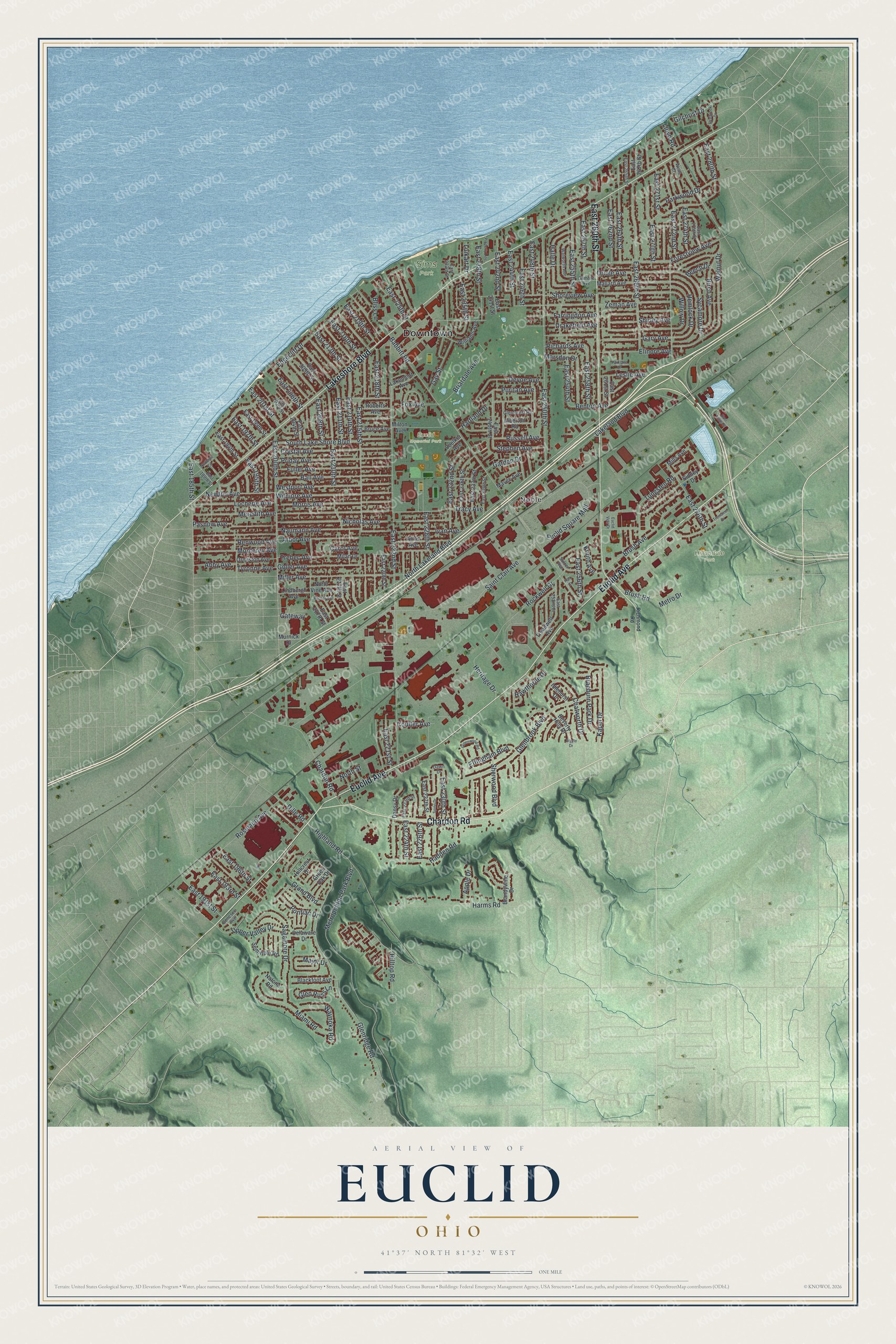
Created by KNOWOL in 2026, this print shows Euclid from above, with red buildings, soft green hills and a calm blue lake. The title panel reads "Aerial View of Euclid, Ohio" with 41°37' North 81°32' West printed below.
It fits a living room, a hallway or a home office. It's a good gift for someone who grew up near Sims Park and moved away, or for a family that has lived off Euclid Avenue for years. Open the preview and find your street. See sizes and frames for the Euclid map.