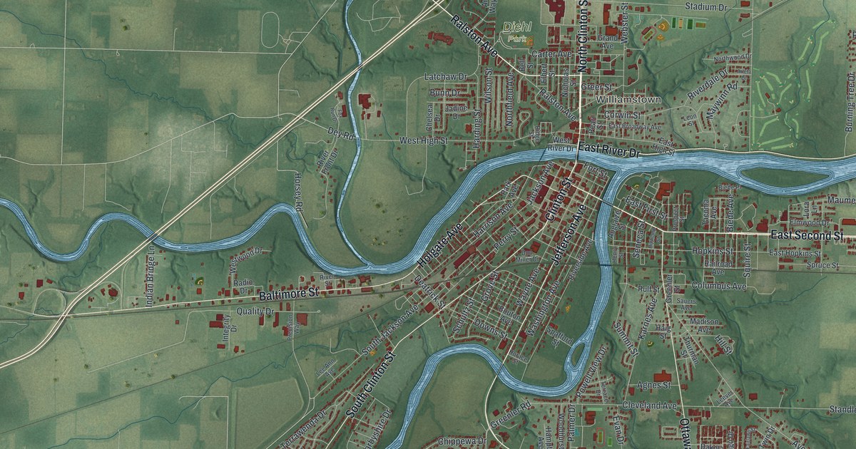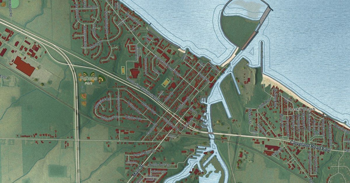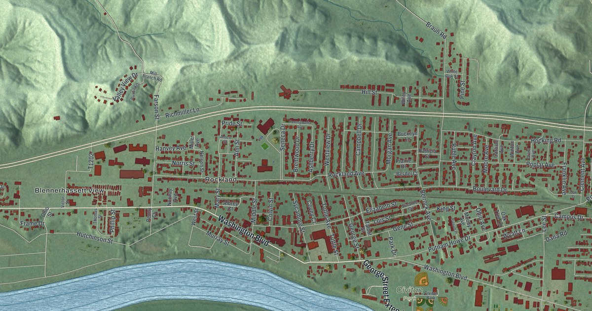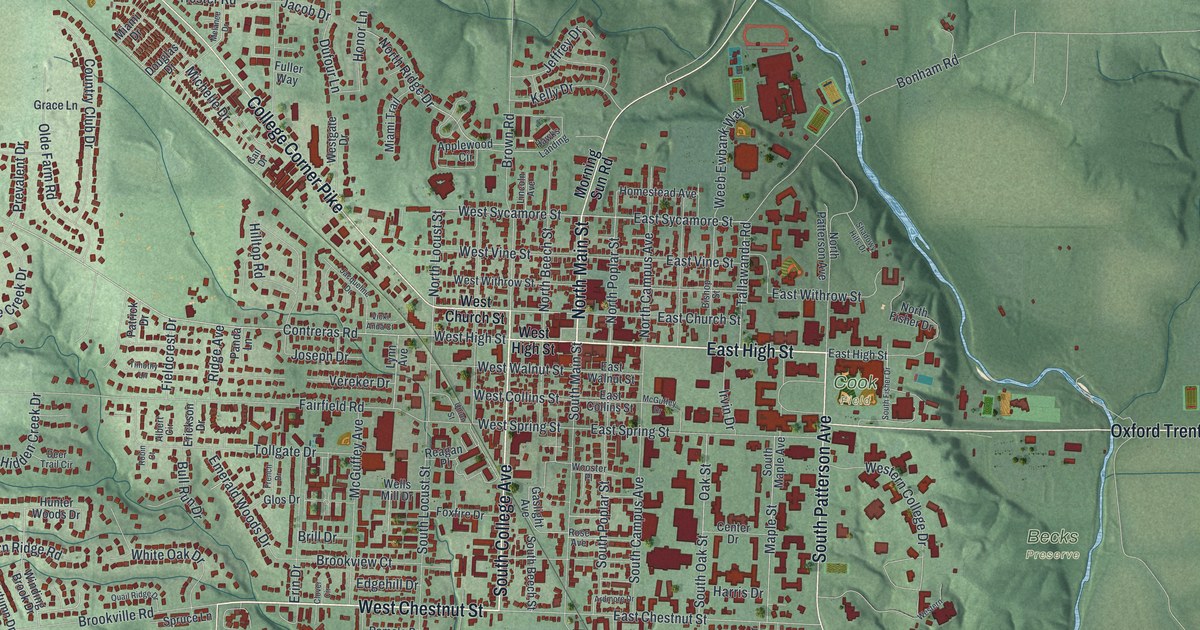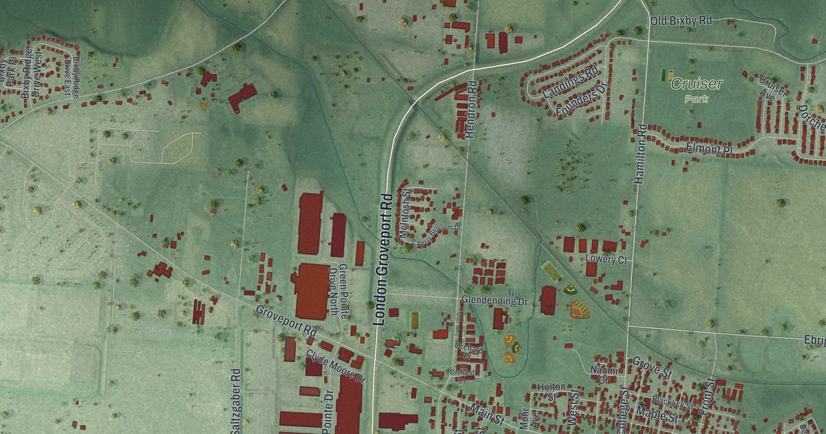
If you grew up in Groveport or still have family near Main Street, this map is for you. It's a modern aerial view of Groveport in Franklin County, Ohio, made from modern data and finished with a vintage feel. Red shapes fill the old town around Groveport City Hall and the homes near Cruiser Park. Big warehouses line London Groveport Road, and a blue creek curls along the south side of town.
John Rarey and Cruiser, the Horse of Groveport
On this map you'll find Main Street, Groveport City Hall, Heritage Park, Blacklick Park, Cruiser Park, Wirt Road, Canal Street, Front Street, College Street, London Groveport Road, South Hamilton Road, Bixford Green, Dorchester Street, Ebright Road, and more. Each red shape is a building, so zoom in on the preview and look for yours.
Groveport's best-known story is about a man and a horse. John S. Rarey was born in Groveport. He became famous around the world for taming horses. His rules were kindness, patience and firmness, says the John Rarey and Cruiser marker on Main Street. His hardest test was Cruiser, a wild stallion owned by an English earl. Rarey tamed the dark bay horse in just three hours. The amazed owner gave him the horse as a reward. Cruiser was kept in Groveport, and he's still a local legend. Rarey planned for the horse's care in his will. Without his trainer, though, Cruiser went back to his wild ways. Look for Cruiser Park and Cruiser Avenue when you study the map.
How Rarey's Port and Wert's Grove Became Groveport
Pioneers began to settle here around 1800. The Ohio and Erie Canal opened in Groveport in 1831, and shops grew up along its banks. In 1847, two small places side by side, Rarey's Port and Wert's Grove, joined to form the village of Groveport. The canal crossed Main Street just east of Front Street, according to the Historic Groveport marker. Canal boats were once built and fixed in a boatyard where Blacklick Park is now. The railroad came in 1868, and by 1900 the boats had stopped for good.
Keep Main Street and Cruiser Park Close
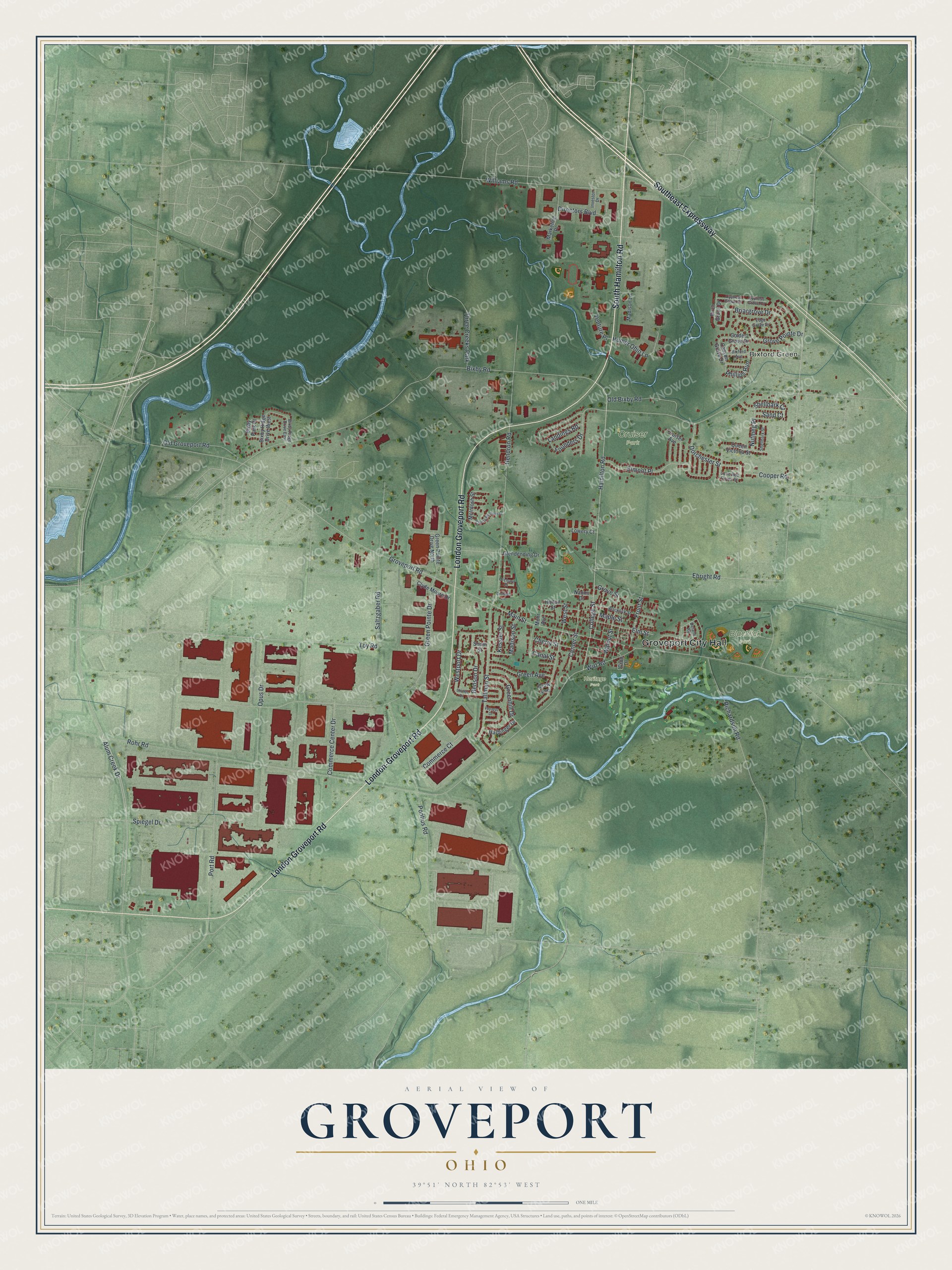
Created by KNOWOL in 2026, this print shows Groveport in soft greens, with red buildings and thin blue creeks winding through the land. The title panel reads Aerial View of Groveport, Ohio, with 39°51' North 82°53' West printed below.
It fits a living room, a home office or the hall by your front door. It makes a thoughtful gift for a Groveport graduate, a family that has lived near Main Street for years, or a friend who grew up by Cruiser Park and moved away. Open the preview and find your street. See sizes and frames for the Groveport map.