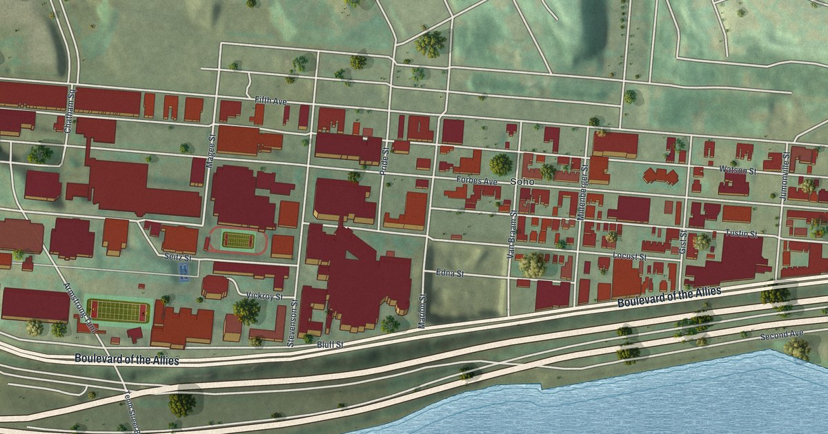
If you went to Duquesne, worked at Mercy, or grew up near Forbes Avenue, this is your part of Pittsburgh seen from above. It's a modern aerial view of Bluff in Allegheny County, Pennsylvania, made with modern data and given a vintage look. Red buildings crowd the high ground between Fifth Avenue and Boulevard of the Allies. Below them, a wide blue river runs across the sheet, with the Birmingham Bridge and the Tenth Street Bridge crossing it.
Bluff Street, Forbes Avenue and Locust Street
On this map you'll find Forbes Avenue, Fifth Avenue, Bluff Street, Locust Street, Boulevard of the Allies, Magee Street, Stevenson Street, Boyd Street, Van Braam Street, Tustin Street, Seneca Street, Birmingham Bridge, Soho, Uptown, and more. Each red shape is a building, so zoom in on the preview and look for yours.
Duquesne University on Bluff Street
A state historical marker stands on Bluff Street, at the university's administration building. It tells Duquesne University's story. Holy Ghost Fathers from Germany founded the school in 1878. In 1882 it was incorporated as Pittsburgh Catholic College. It took the name Duquesne University in 1911. The marker says this Catholic school has served students of many faiths. On the map, find Bluff Street just above Boulevard of the Allies. The administration building is one of the red shapes along it.
A second marker stands where Forbes Avenue meets Magee Street. It honors Chuck Cooper, who had an All-American career at Duquesne. On April 25, 1950, the Boston Celtics picked him in the draft. He was the first African American drafted by an NBA team. The marker says he helped pave the way for the NBA to open to Black players.
Mercy Hospital on Locust Street
A third marker stands at 1400 Locust Street. The Sisters of Mercy founded Mercy Hospital there in 1847. It was Pittsburgh's first hospital. It was also the first Mercy hospital anywhere in the world. Young doctors started training there in 1848, and the nursing school opened in 1893. From the start, it cared for all patients, and most of all the poor.
Keep Bluff Street and Forbes Avenue Close
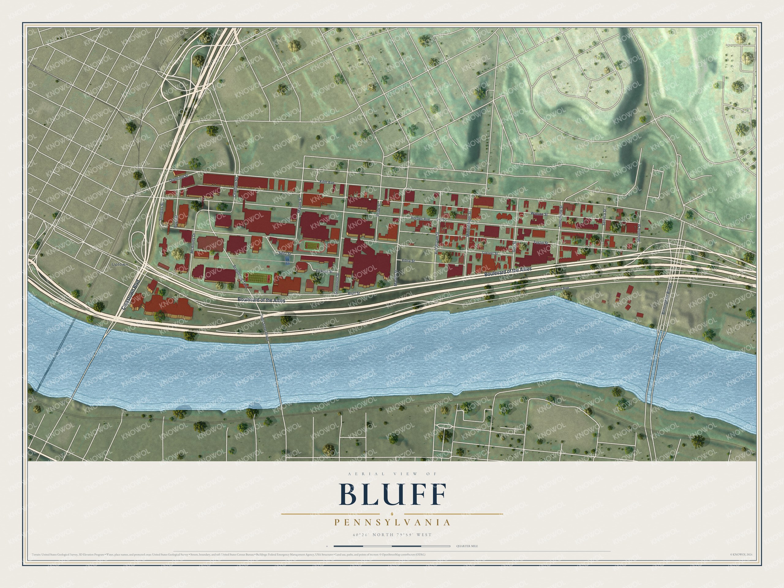
Created by KNOWOL in 2026, this print shows Bluff from above in soft greens, with red buildings, cream roads and a blue river along the bottom. The title panel reads "Aerial View of Bluff, Pennsylvania" with the coordinates 40°26' North 79°59' West.
It fits a dorm room, an office, a den or a hallway. It's a good gift for a Duquesne graduate, a Mercy nurse, or anyone who grew up near Forbes Avenue and moved away. Open the preview and find your street. See sizes and frames for the Bluff map.