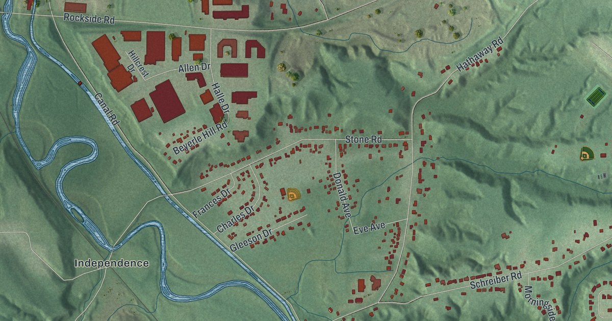
If you grew up off Sweet Valley Drive or Canal Road, or you've walked the Towpath Trail below the hills, this map is for you. It's a modern aerial view of Valley View in Cuyahoga County, Ohio, made from modern data and given a vintage look. A blue river winds down the sheet between green, shaded hills. Red buildings fill the north end along Granger Road and Rockside Road. Rows of smaller ones climb the ridges to the east, and Alexander sits near the bottom right.
From Granger Road to Alexander
On this map you'll find Granger Road, Rockside Road, Canal Road, Sweet Valley Drive, Brecksville Road, Tinkers Creek Road, Hub Parkway, Stone Road, Schreiber Road, North Partridge Drive, Fitzwater Road, Sagamore Road, Cuyahoga Valley National Park, Alexander, and more. Each red shape is a building, so zoom in on the preview and look for yours.
Locks, a Mill and Old Houses on Canal Road
Valley View has nine places on the National Register of Historic Places. Seven of them have Canal Road addresses. Lock No. 39 and Spillway is on Canal Road. Lock No. 37 and Spillway is on Fitzwater Road. The Tinkers Creek Aqueduct is listed too. So are the Lock Tender's House and Inn at 7104 Canal Road and the Wilson Feed Mill at 7604 Canal Road. The list also holds four family homes: the Stephen Frazee, Edmund Gleason, William Knapp and Abraham Ulyatt houses. Seven of the nine were added in 1979. On the map, look along Canal Road, where the blue river bends past the hills.
The South Park Village Marker Near Stone Road
An Ohio historical marker stands on the Towpath Trail near Canal Road and Stone Road. It tells about South Park Village, which sat across the Cuyahoga River from that spot. Archeologists found the remains of a four-acre Native American village there. The people lived in shared homes. They grew maize, beans and squash in the flat fields by the river. They hunted deer, elk and black bear, and they gathered clams and fish. People left South Park and came back several times between A.D. 1000 and 1600. The marker says their Whittlesey Tradition was the first culture that belonged only to this area.
Canal Road and the Valley View Hills on Your Wall
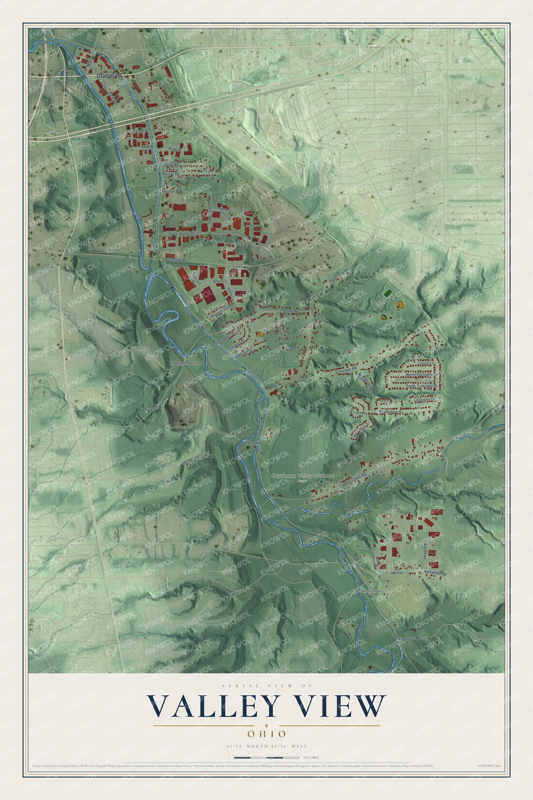
Created by KNOWOL in 2026, the print shows the valley in soft greens, with shaded hills, a winding blue river and buildings in red. The title panel at the bottom reads AERIAL VIEW OF VALLEY VIEW, OHIO, with 41°23' NORTH 81°36' WEST beneath it.
It fits a living room, a home office or the hallway by the front door. It's a good gift for someone who grew up near Canal Road or who knows the old locks along it. Open the preview and find your own street. See sizes and frames for the Valley View map.