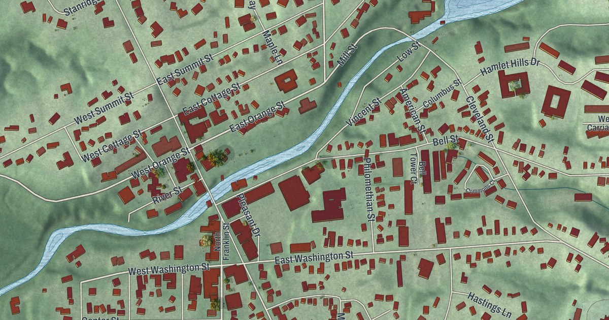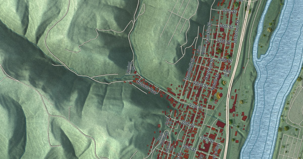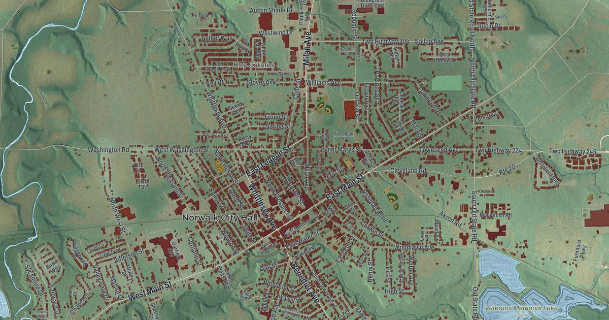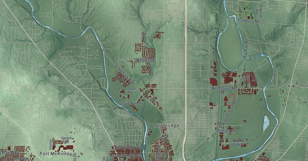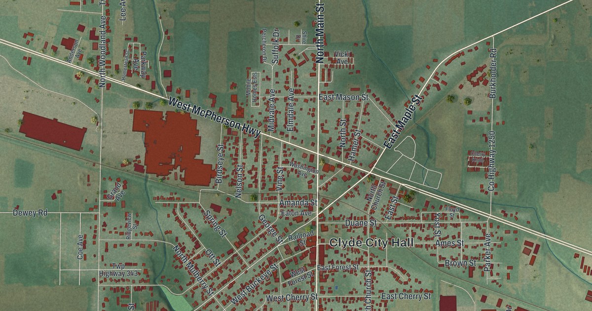
If you grew up in Clyde, walked Main Street as a kid, or still have family near Clyde City Hall, this map is for you. It's a modern aerial view of Clyde in Sandusky County, Ohio, made from modern data and given a vintage feel. You'll see the whole town in red, with more than 4,000 buildings. Farm fields in soft greens stretch out on every side. A long highway cuts across the sheet from corner to corner, and a patch of pale blue water sits just south of town.
Streets around Clyde City Hall
On this map you'll find North Main Street, South Main Street, East McPherson Highway, West McPherson Highway, Clyde City Hall, East Maple Street, West Maple Street, Railroad Street, Spring Street, Race Street, Vine Street, West Buckeye Street, Whirlpool Way, Limerick Road, and more. Each red shape is a building, so zoom in on the preview and look for yours.
Sherwood Anderson's boyhood town
Clyde's best-known story is a book. Sherwood Anderson spent his boyhood years here, from 1884 to 1895. In 1919 he published Winesburg, Ohio, his most famous book. According to the Ohio History Connection's Sherwood Anderson marker, Clyde and small-town Ohio inspired many of its tales. He wrote 27 works in all. He was also a big influence on younger writers, like William Faulkner, Ernest Hemingway and John Steinbeck. The marker stands at Clyde Railroad Plaza on Railroad Street, close to the middle of town.
General McPherson and East McPherson Highway
The long highway on the map shares its name with another son of Clyde. James Birdseye McPherson was born here on November 14, 1828. Back then the town was called Hamer's Corners. He left home at 13 to work in nearby Green Springs. Later he finished first in his class at West Point. In the Civil War, General Grant picked him to lead the Army of the Tennessee. He was killed in the battle of Atlanta on July 22, 1864. According to the state marker for General McPherson, he was the youngest and highest ranking Union officer killed in the war. His home at 300 East McPherson Highway is on the National Register of Historic Places. He's buried in McPherson Cemetery, near where McPherson Highway meets Maple Street. You'll also spot Birdseye Street and Hamer Street on the map.
From Clyde City Hall to Whirlpool Way
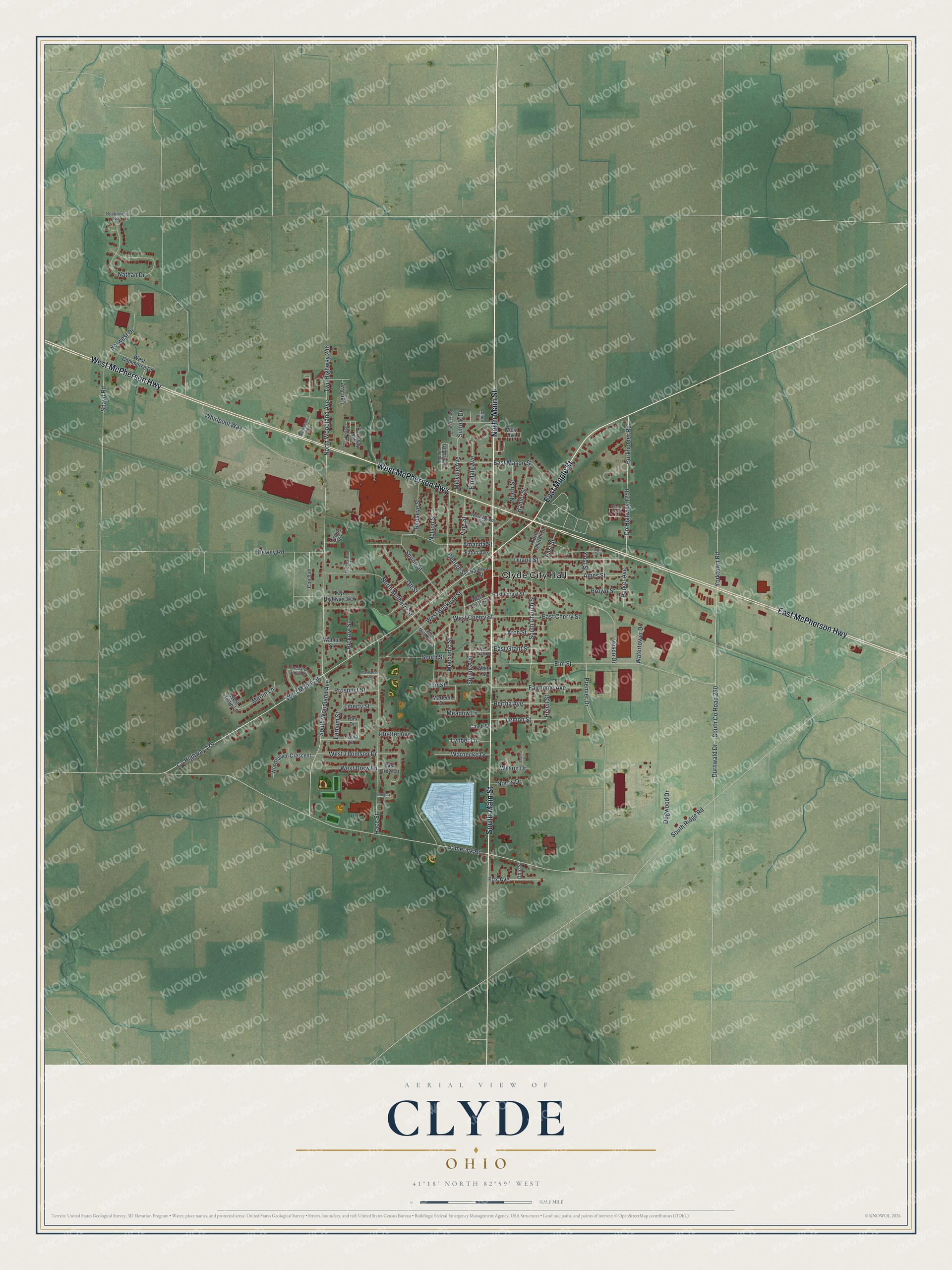
Created by KNOWOL in 2026, this print shows Clyde's buildings in deep red over soft green fields and gentle shading, with a vintage feel. The title panel reads "Aerial View of Clyde, Ohio" with 41°18' North 82°59' West below it.
It fits well in a living room, a hallway or a home office. It's a thoughtful gift for someone who grew up near Clyde City Hall and moved away, or for a reader who loves Sherwood Anderson. Open the preview and find your street. See sizes and frames for the Clyde map.