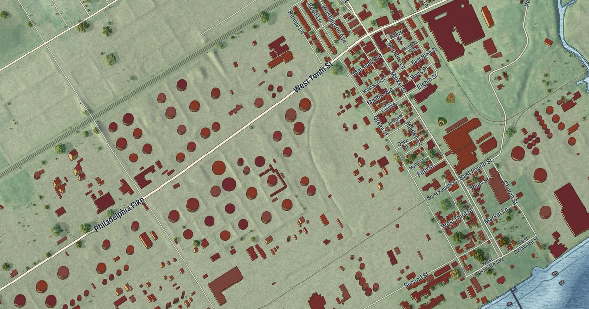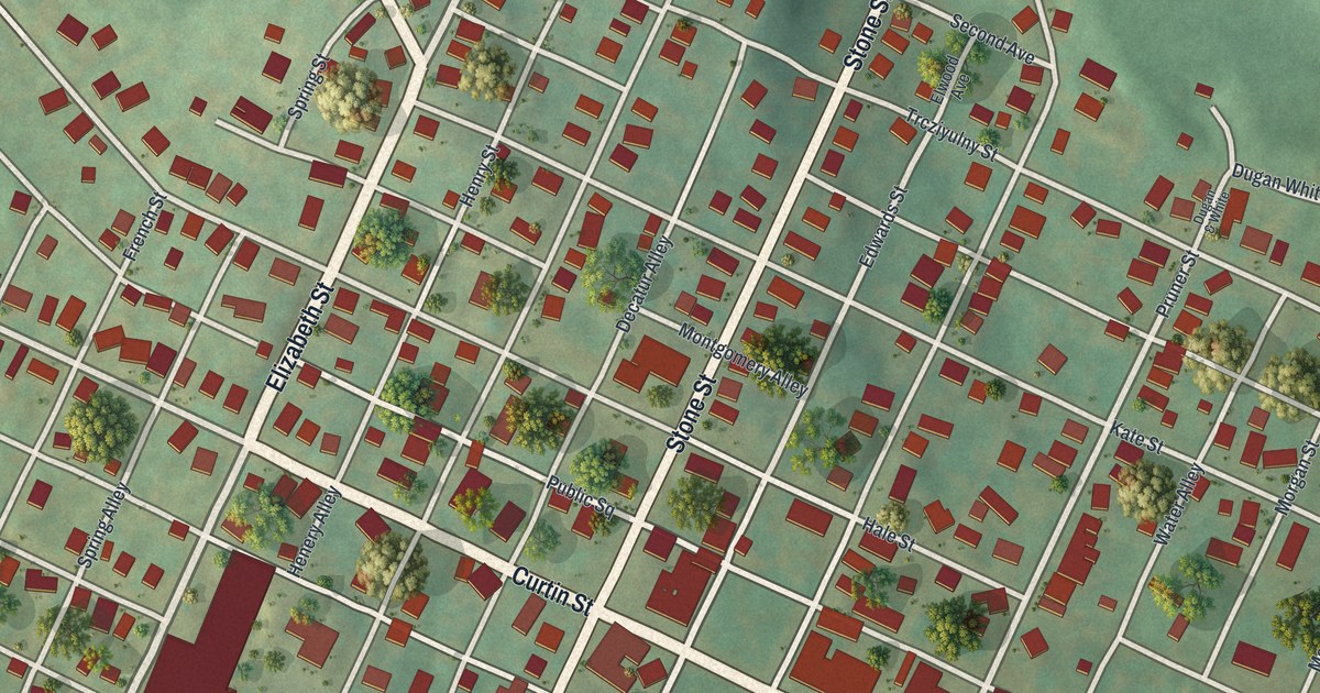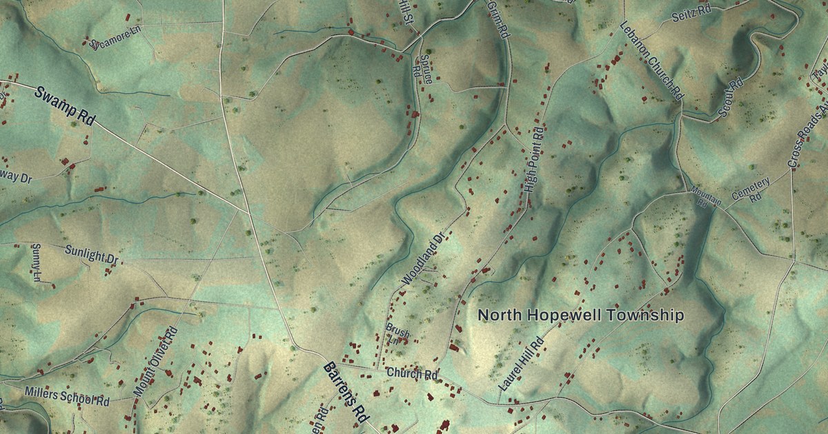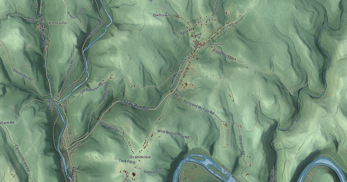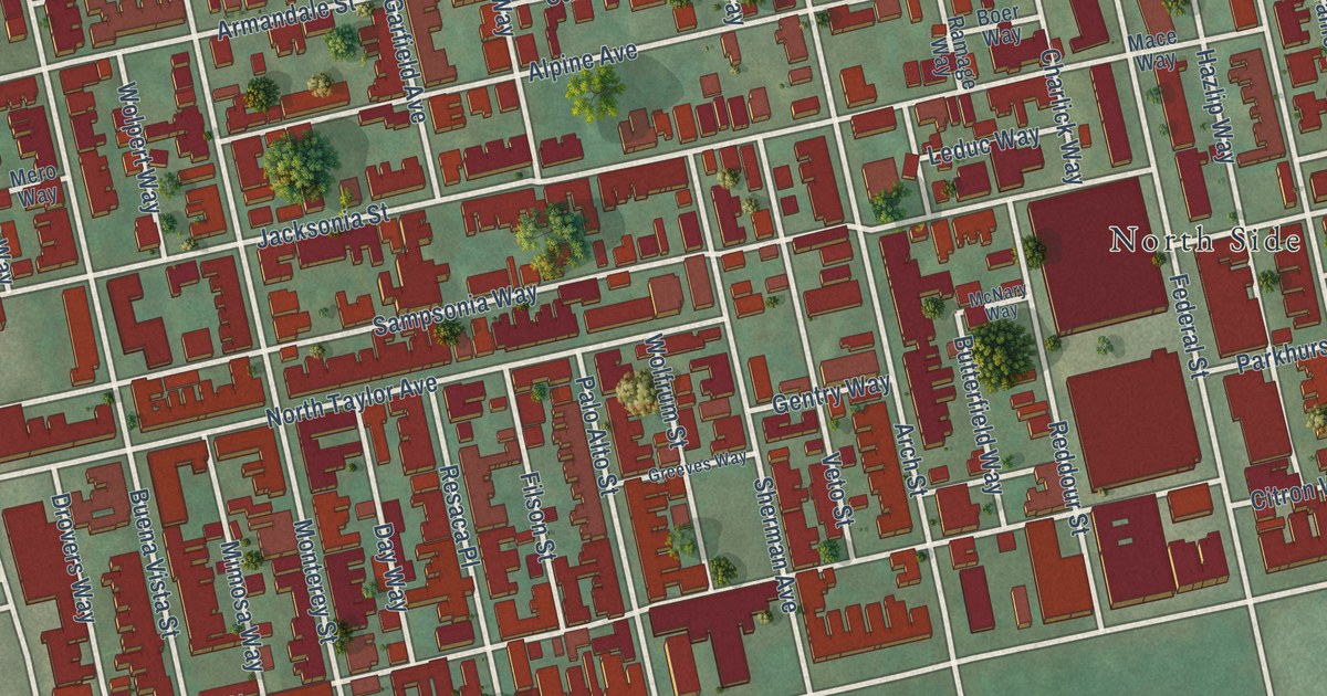
This beautifully detailed map of Central Northside, Pennsylvania was created in 2026 using aerial imagery combined with modern topographical, census, street and landmark data. It’s a one-of-a-kind view of Central Northside that combines accurate data with a vintage aesthetic. The map shows every building in its true location, many of the roads carry their names, and the shaded topographic relief shows the shape of the land.
Explore an aerial view of Central Northside, Pennsylvania
On the map you’ll find Manchester and North Side, along with Henderson Street, Sampsonia Way, Jacksonia Street, Eloise Street, Buena Vista Street, Brighton Road, Monterey Street, Arch Street, Alpine Avenue, Federal Street, and more. If you look closely you can even find your house accurately drawn in its correct location. Zoom in on the preview to look for yours.
Take a closer look at the Central Northside map
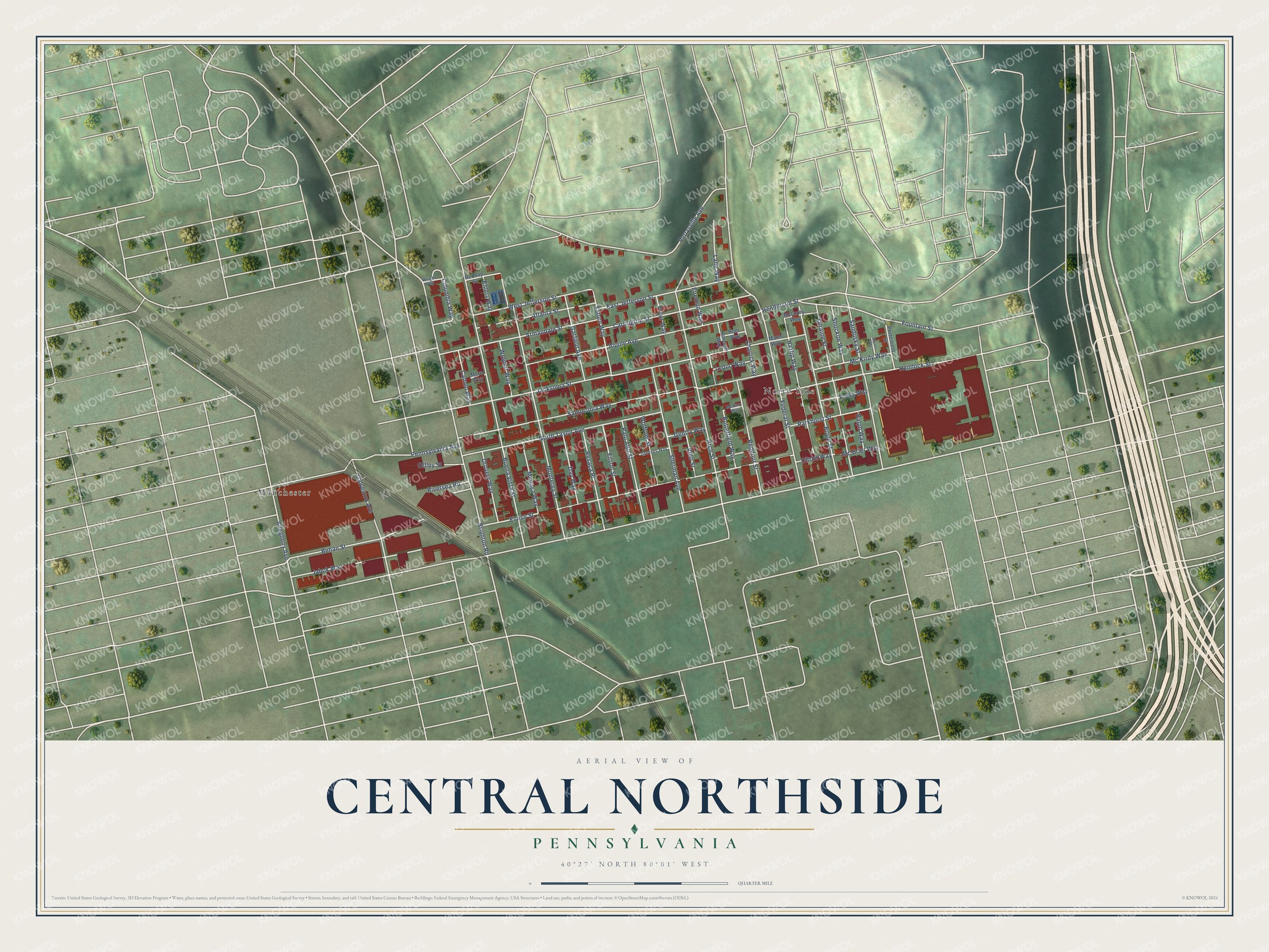
Street and place names on the Central Northside, Pennsylvania map
These names are printed on the map of Central Northside, Pennsylvania.
Places: North Side and Manchester.
Streets and roads: Henderson Street, Sampsonia Way, Jacksonia Street, Eloise Street, Buena Vista Street, Brighton Road, Monterey Street, Arch Street, Alpine Avenue, Federal Street, Hemlock Street, North Taylor Avenue.
More street names, A to Z
Allegheny Avenue, Armandale Street, Atlanta Street, Balph Way, Behan Street, Boer Way, Boyle Street, Butterfield Way, Cameo Way, Carrington Street, Charlick Way, Citron Way, Columbia Way, Day Way, Drovers Way, East Jefferson Street, Ehlers Way, Filson Street, Fireman Way, Fountain Street, Galveston Avenue, Garfield Avenue, Gentry Way, Greeves Way, Hazlip Way, Jabok Way, Lane Way, Leduc Way, Loraine Street, Mace Way, Mc Brier Way, McCrory Way, Mc Kirdy Way, McNary Way, Mero Way, Mimosa Way, Offley Street, Palo Alto Street, Parkhurst Street, Pennsylvania Avenue, Perrysville Avenue, Porterfield Street, Press Way, Pryor Way, Ramage Way, Reddour Street, Rednap Street, Resaca Place, Riversea Road, Sandusky Street, Saturn Way, Shears Way, Sherman Avenue, Shockoe Way, Veto Street, West Jefferson Street, Wolfrum Street, Wolpert Way, Wright Way.
See the Central Northside, Pennsylvania map on a wall
The Central Northside map as an 18 x 24 inch print in a black frame.

This beautifully detailed map of Central Northside makes an attractive addition to your office, library, or den, and it can even be used to teach children the geography and history of the area. It also makes a great gift for anyone who grew up in Central Northside or moved away. When you’re done exploring, click here to get your copy of the Central Northside map.