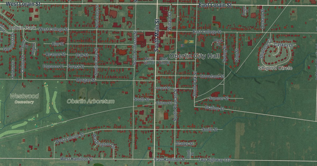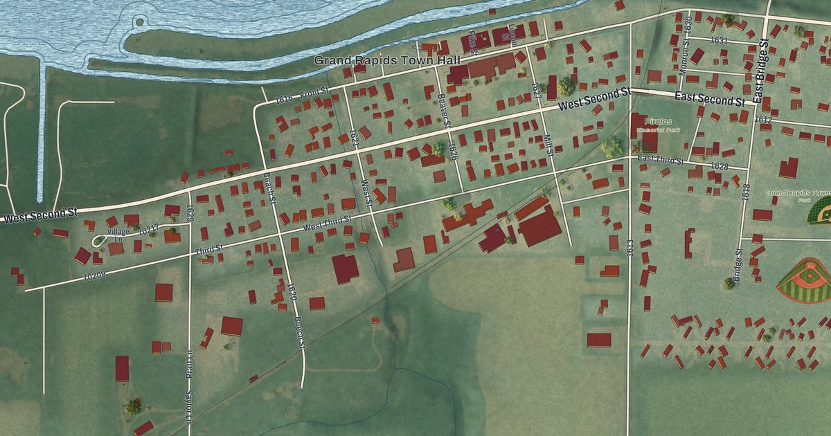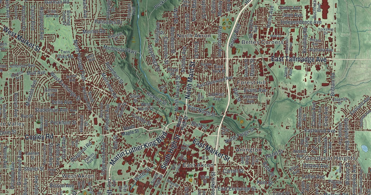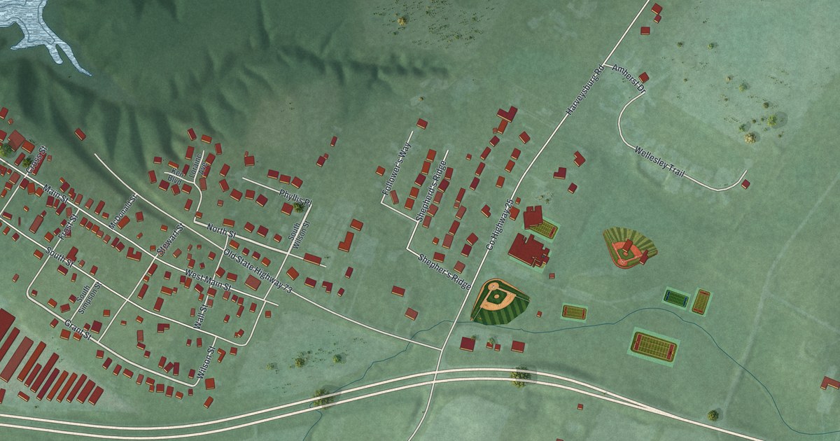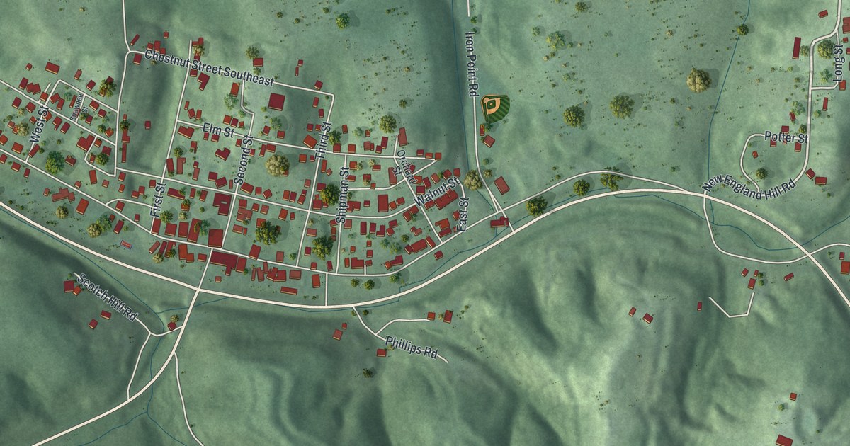
If you grew up in Shawnee, look for your old street on this print. It's a modern aerial view of Shawnee in Perry County, Ohio, made with modern data and a vintage feel. The town's close blocks sit among green hills, with red buildings and pale roads.
Main Street and Shawnee's coal miners
On this map you'll find Main Street, Second Street, Walnut Street, First Street, Third Street, Perry Street, Elm Street, Shawnee Street, Orchard Street, West Street, East Street, Iron Point Road, and more. Each red shape is a building, so zoom in on the preview and look for yours.
The Knights of Labor Opera House marker tells how Shawnee's miners became a strong voice for workers. Their local Knights of Labor group started in 1876. William T. Lewis taught free night classes in grammar for the miners. He also started the Ohio Plan, the first free job bureaus in the United States.
William H. Bailey and T. L. Lewis began their labor careers here, too. Meetings involving these leaders helped form the United Mine Workers in 1890. The marker stands at Main Street and Second Street. Find those street names on the print to place this chapter of Shawnee's story among its town blocks.
Keep Shawnee's Main Street close
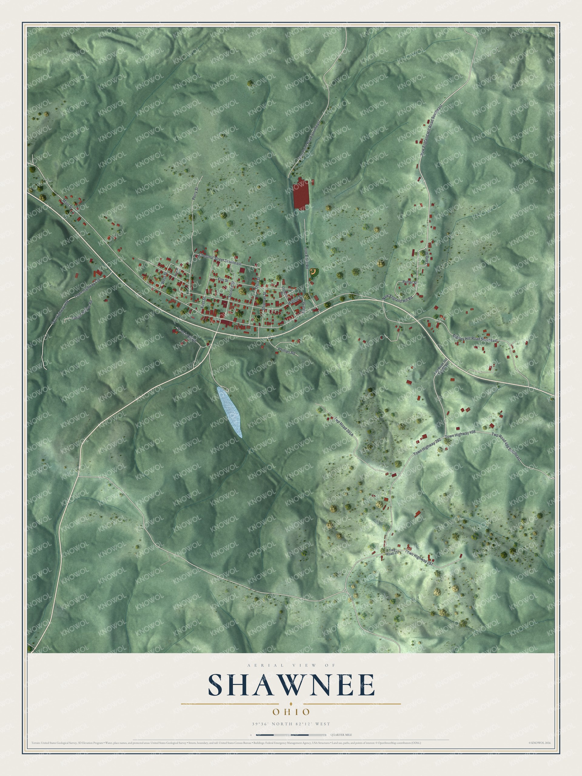
Created by KNOWOL in 2026, this print has green shaded hills, red buildings, pale roads, and a cream border. The title panel reads AERIAL VIEW OF SHAWNEE, OHIO, with 39°36' NORTH 82°12' WEST below.
Hang it in a living room, home office, or entryway. It's a gift for someone who grew up near Main Street or moved away from Shawnee. Open the preview to look for a familiar block and keep a piece of home close. See sizes and frames for the Shawnee map.