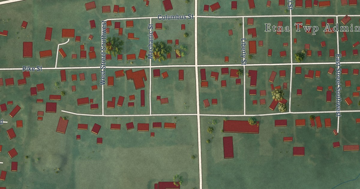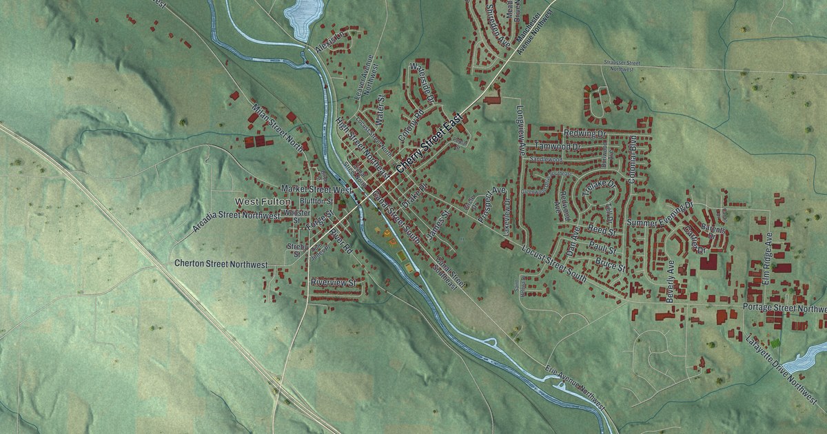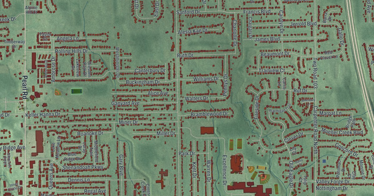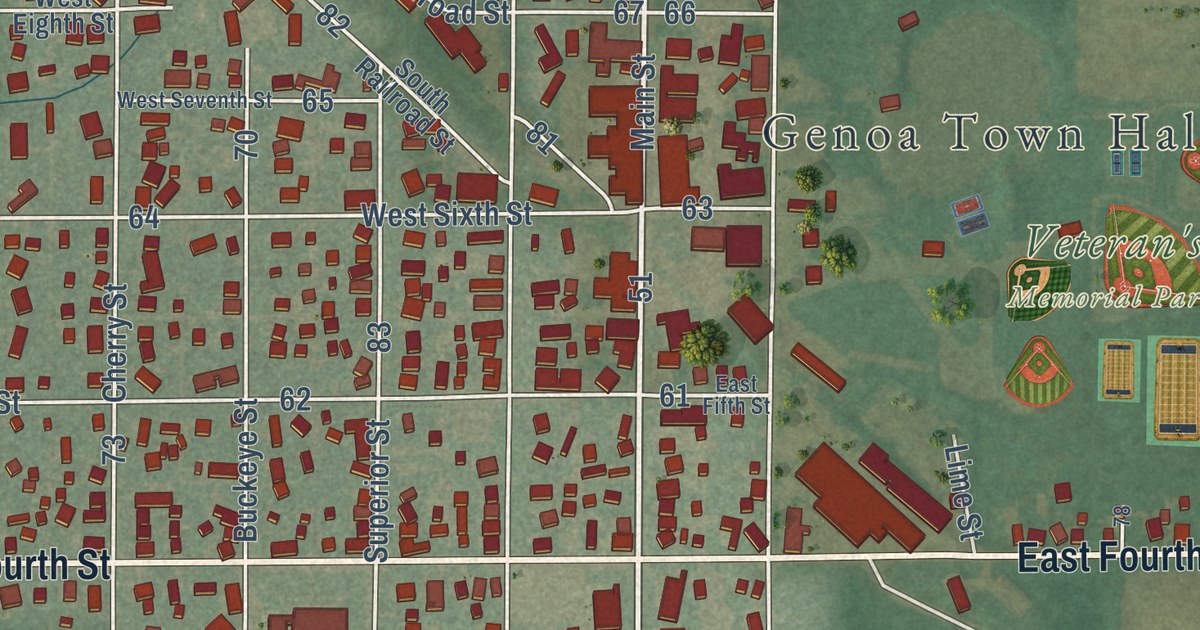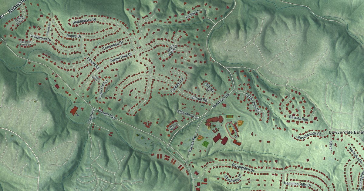
This beautifully detailed map of Turpin Hills, Ohio was created in 2026 using aerial imagery combined with modern topographical, census, street and landmark data. It’s a one-of-a-kind view of Turpin Hills that combines accurate data with a vintage aesthetic. The map shows every building in its true location, many of the roads carry their names, and the shaded topographic relief shows the shape of the land.
Explore an aerial view of Turpin Hills, Ohio
On the map you’ll find Lawyerdale Estates, along with Batavia Road, Batavia Pike, Beechmont Avenue, Hunley Road, Corbly Road, Newtown Road, Ragland Road, Goldengate Drive, Clough Pike, Lawyer Road, Royalgreen Drive, and more. If you look closely you can even find your house accurately drawn in its correct location. Zoom in on the preview to look for yours.
Take a closer look at the Turpin Hills map
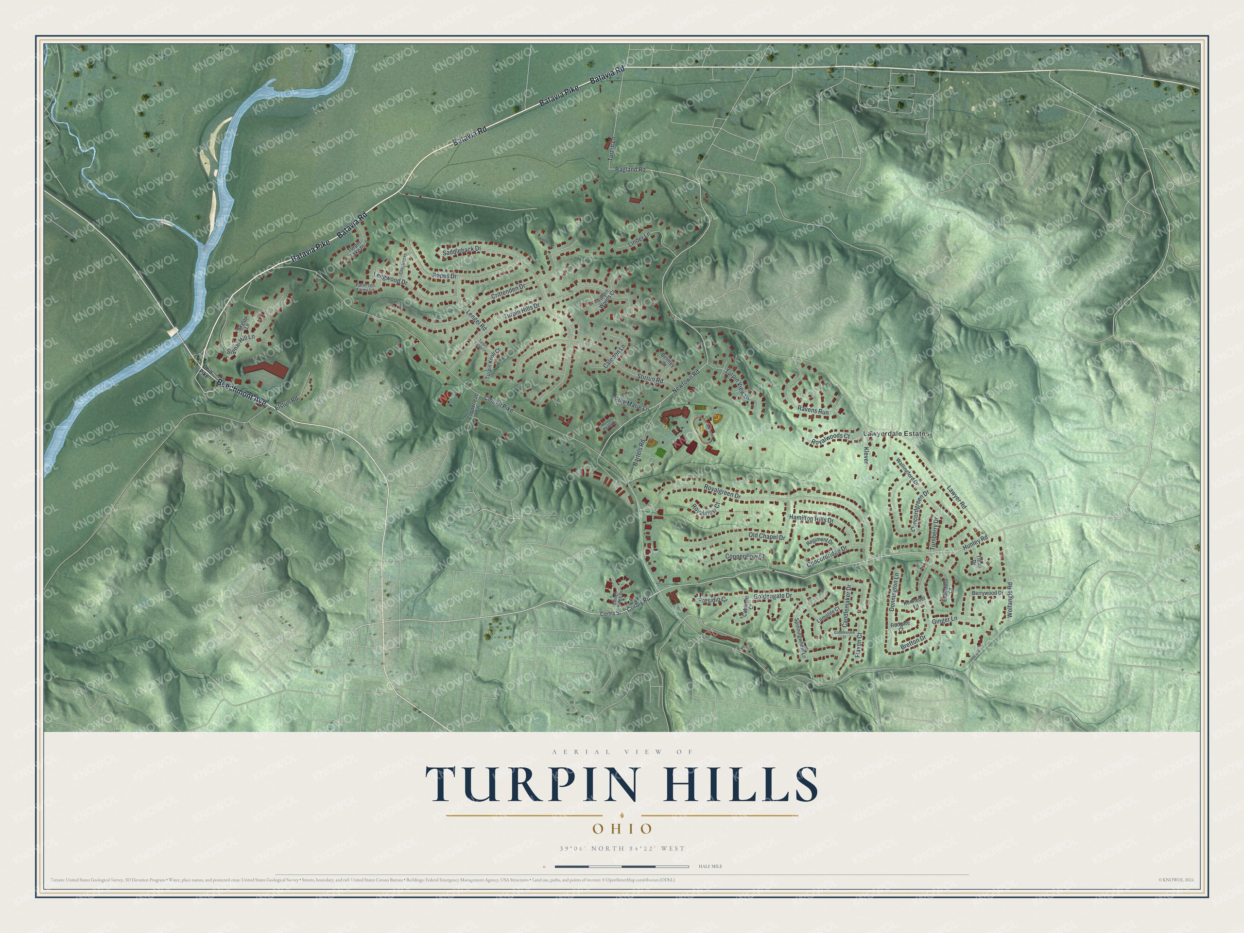
Street and place names on the Turpin Hills, Ohio map
These names are printed on the map of Turpin Hills, Ohio.
Places: Lawyerdale Estates.
Streets and roads: Batavia Road, Batavia Pike, Beechmont Avenue, Hunley Road, Corbly Road, Newtown Road, Ragland Road, Goldengate Drive, Clough Pike, Lawyer Road, Royalgreen Drive, Saddleback Drive.
More street names, A to Z
Bartels Road, Bentley Court, Berrywood Drive, Bretton Drive, Cablecar Court, Caledon Lane, Candlemaker Drive, Clough Ridge Drive, Cobblestone Court, Concordgreen Drive, Concordridge Drive, Copperglow Court, Copperleaf Lane, Corbly Street, Courtropes Lane, Crittenden Drive, Donnington Lane, Ellie Marie Lane, Elstun Road, Etoncross Court, Flaxen Court, Ginger Lane, Hamilton Hills Drive, Kennebel Lane, Klever, Lamplite Court, Lengel Road, Lengwood Drive, Linder Lane, Mercers Pointe Drive, Ohio Pike, Old Chapel Drive, Patterson Farms Lane, Presidio Court, Ravens Run, Regiment Drive, Ropes Drive, Royalview Court, Royalwoods Court, Rudgate Court, Signal Hill Lane, Skytop Lane, Spinningwheel Lane, Stirrup Road, Titian Drive, Turnberry Drive, Turpin Hills Drive, Turpin Knoll Court, Turpin Lake Place, Turpin Lane, Turpin Valley Lane, Turpin View Drive, Turpin Woods Court, Wallingford Drive, Wolfangle Road.
See the Turpin Hills, Ohio map on a wall
The Turpin Hills map as an 18 x 24 inch print in a black frame.

This beautifully detailed map of Turpin Hills makes an attractive addition to your office, library, or den, and it can even be used to teach children the geography and history of the area. It also makes a great gift for anyone with Turpin Hills roots. When you’re done exploring, click here to get your copy of the Turpin Hills map.