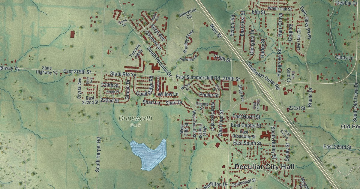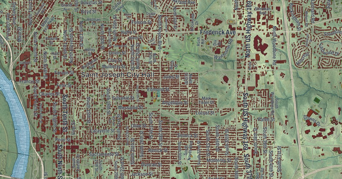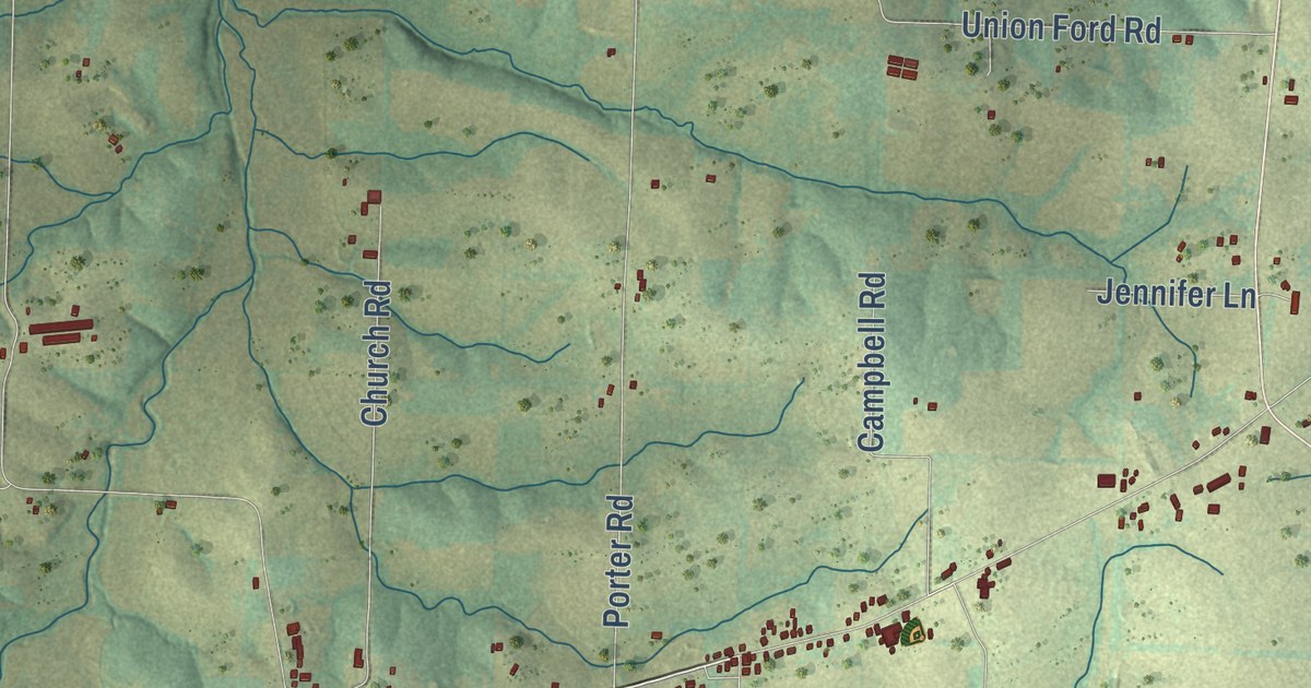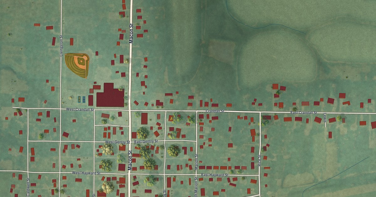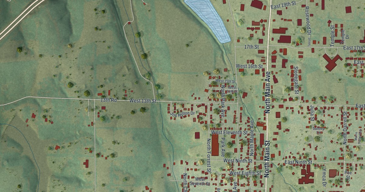
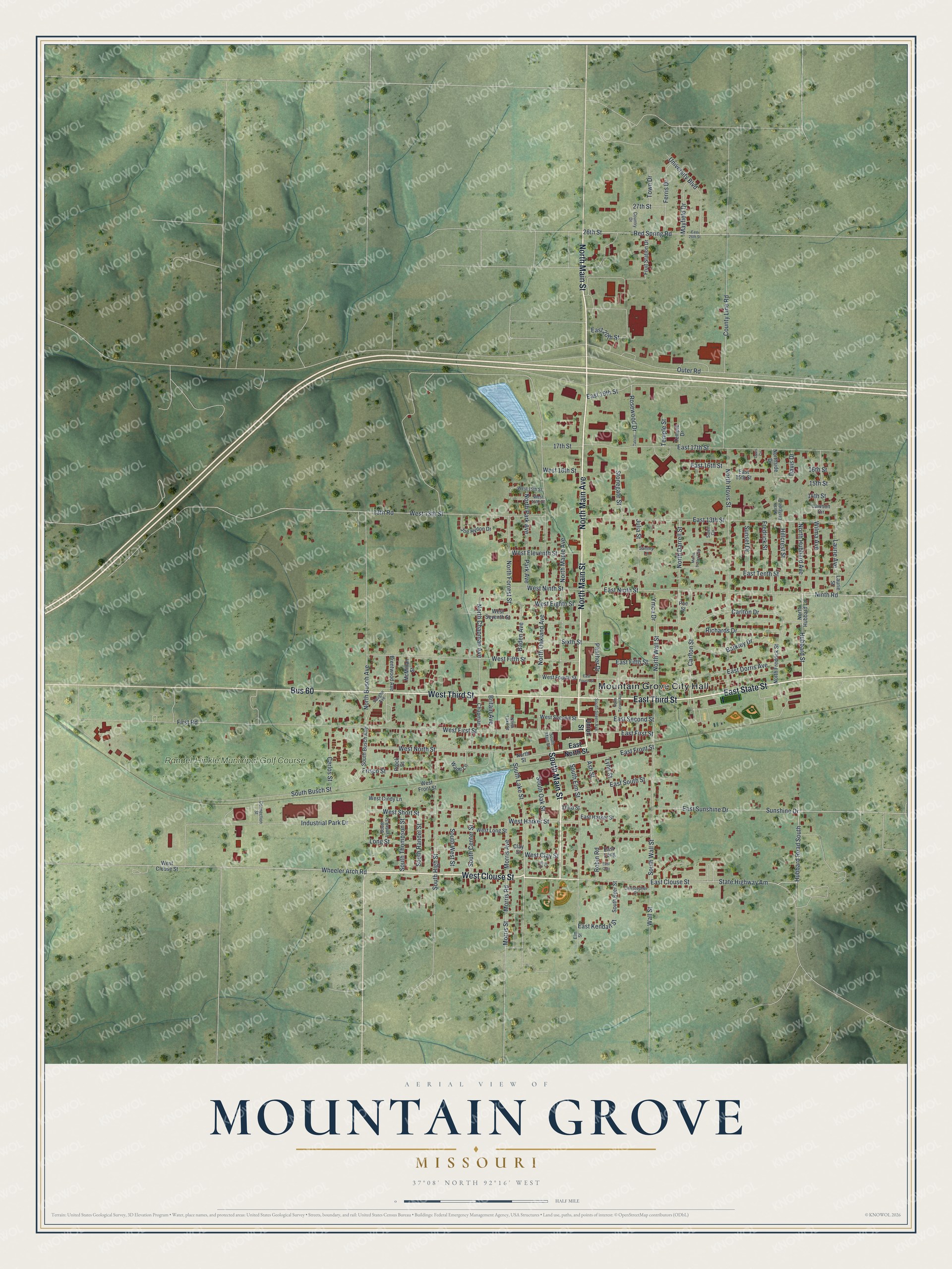
This beautifully detailed map of Mountain Grove, Missouri was created in 2026 using aerial imagery combined with modern topographical, census, street and landmark data. It’s a one-of-a-kind view of Mountain Grove that combines accurate data with a vintage aesthetic. The map shows every building in its true location, many of the roads carry their names, and the shaded topographic relief shows the shape of the land.
Explore an aerial view of Mountain Grove, Missouri
On the map you’ll find Mountain Grove City Hall, Randel-Hinkle Municipal Golf Course, and Bus 60, along with North Main Street, North Main Avenue, West Clouse Street, South Main Street, East State Street, East Third Street, West Third Street, South Lake Street, Hubbard Street, and more. If you look closely you can even find your house accurately drawn in its correct location. Zoom in on the preview to look for yours.
Did you know this piece of Mountain Grove, Missouri history?
From the 1941 Missouri, a Guide to the Show Me State: "The city had its origin on a near-by site as Hickory Springs, where a post office was established in 1851. The settlement prospered, stores were opened, and Mountain Grove Seminary was built in 1857."
Take a closer look at the Mountain Grove map
Street and place names on the Mountain Grove, Missouri map
These names are printed on the map of Mountain Grove, Missouri.
Places: Mountain Grove City Hall, Randel-Hinkle Municipal Golf Course and Morris Trailer Park.
Streets and roads: North Main Street, North Main Avenue, West Clouse Street, South Main Street, East State Street, East Third Street, West Third Street, Bus 60, South Lake Street, Hubbard Street, Wheeler Arch Road, Morris Street.
More street names, A to Z
13th Road, 14th Street, 15th Street, 16th Street, 17th Street, 26th Street, 27th Street, Ash Street, Baden Avenue, Barkley Drive, Brentwood Avenue, Britain Avenue, Carlos Street, Carlton Drive, Carlton Street, Chapman, Christopher Drive, Clay Street, Connection Street, Country Drive, County Line Road, Davis Circle, Davis Drive, East 13th Street, East 15th Street, East 16th Street, East 17th Street, East 19th Street, East 20th Street, East 26th Street, East Clay, East Clouse Street, East Dorris Avenue, East Fifth Street, East First Street, East Fourth Street, East Front Street, East Harker Street, East Kendall Street, East Long, East Ninth Street, East North Street, East Second Street, East South Street, East Sunshine Drive, East Tenth Street, Elm Street, Ferris Drive, First Road, Fredrick Street, Frisco Street, Fruit Station Drive, Hillcrest Street, Hubbard Road South, Industrial Park Drive, Joe Hylton Drive, Julia Street, Laurie Avenue, Laurie Street, Lawson Circle, Long Street, Lynn Street, Mayfield Drive, McMillan Street, Morris Avenue, Morris Road, Ninth Road, North Busch Avenue, North Chapman Avenue, North Darrell Street, North Eastgate Drive, North Forrest Street, North Fredrick Street, North Hovis Street, North Hubbard Avenue, North Hubbard Lane, North Lake Street, North Maple Avenue, North Oakland Avenue, North Park Avenue, Northside Drive, North Street, North Talcott Avenue, North Wall Street, Oak Circle, Outer Road, Panther Drive, Park Avenue, Poe Street, Prock Street, Red Spring Road, Richards Drive, Robin Road, Rosewood Drive, Sammy Lane, Sixth Street, Soleil Circle, South Busch Avenue, South Busch Street, South Byer Street, South Center Street, South Elm Street, South Green Avenue, South High Street, South Lyndell Street, South Oak Street, South Randel Street, South Thompson Street, South Wall Street, South West Street, State Highway Am, Stonegate Street, Sunset Drive, Sunshine Drive, Talcott, Temple Drive, Temple Street, Third Street, Town Drive, Union Street, University Boulevard, Vaughn Avenue, Wade Lane, Wall Street, West 13th Street, West 14th Street, West 15th Street, West 16th Street, West Cindy Lane, West Clay Street, West Eighth Street, West Eleventh Street, West Fifth Street, West First Street, West Fourth Street, West Front Street, West Harker Street, West Long Street, West Ninth Street, West North Street, West Second Street, West Seventh Street, West Short Street, Wilma Avenue, Ymca Drive.
See the Mountain Grove, Missouri map on a wall
The Mountain Grove map as an 18 x 24 inch print in a black frame.

This beautifully detailed map of Mountain Grove makes an attractive addition to your office, library, or den, and it can even be used to teach children the geography and history of the area. It also makes a great gift for anyone who grew up in Mountain Grove or moved away. When you’re done exploring, click here to get your copy of the Mountain Grove map.