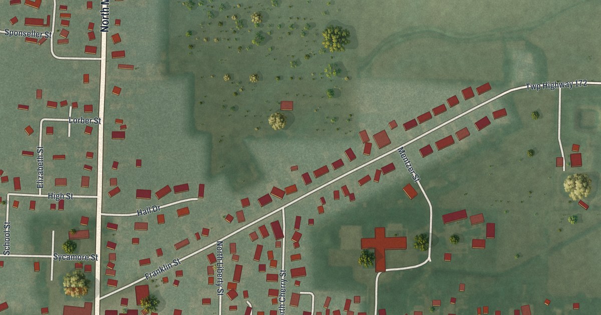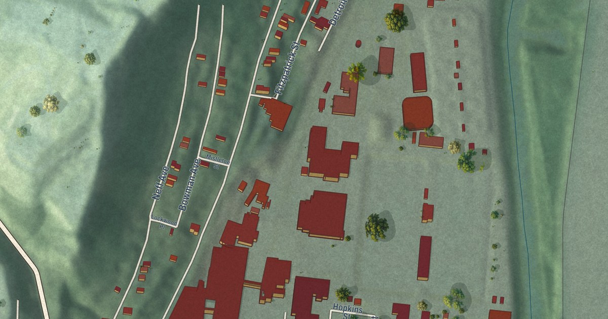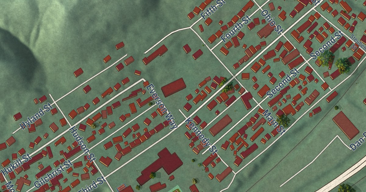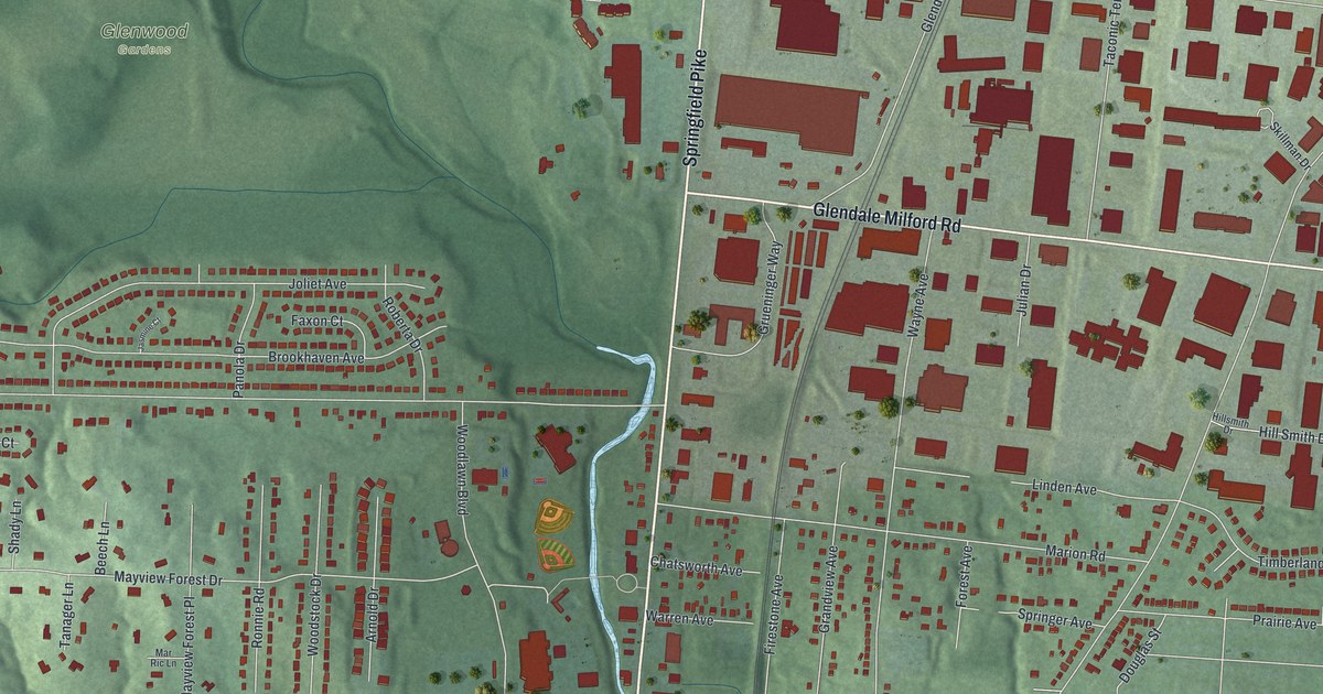
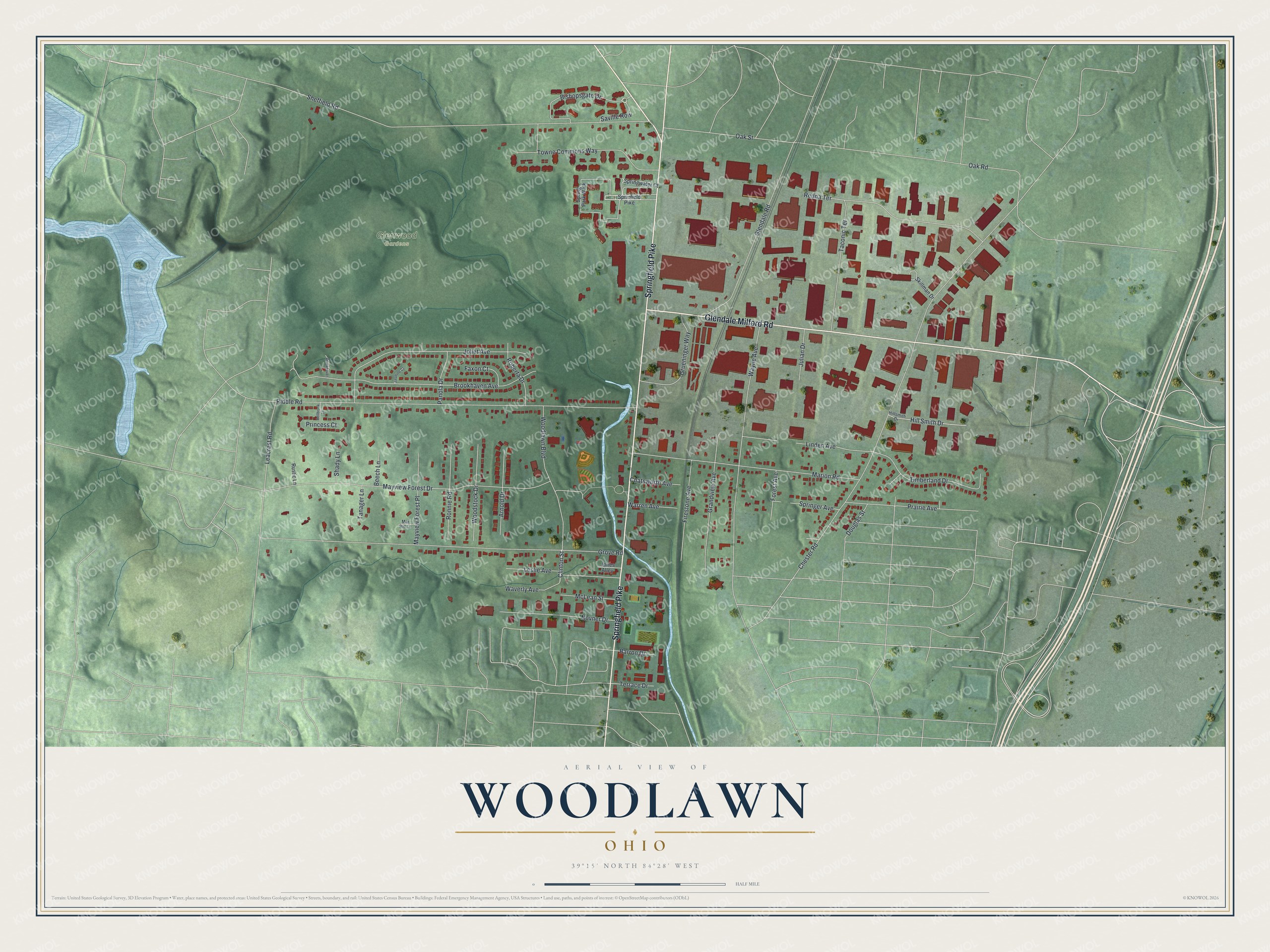
This beautifully detailed map of Woodlawn, Ohio was created in 2026 using aerial imagery combined with modern topographical, census, street and landmark data. It’s a one-of-a-kind view of Woodlawn that combines accurate data with a vintage aesthetic. The map shows every building in its true location, many of the roads carry their names, and the shaded topographic relief shows the shape of the land.
Explore an aerial view of Woodlawn, Ohio
On the map you’ll find Glenwood Gardens, along with Springfield Pike, Glendale Milford Road, Clinton Street, Bishopsgate Drive, Chester Road, Grove Road, Riddle Road, Sheffield Road, Mayview Forest Drive, Oak Road, Wayne Avenue, and more. If you look closely you can even find your house accurately drawn in its correct location. Zoom in on the preview to look for yours.
Did you know this piece of Woodlawn, Ohio history?
Woodlawn grew up on section four of Springfield Township, the land where the township’s first settlers made their home. In 1792 Henry Tucker, Henry Weaver, Luke and Zebulon Foster and others pushed up the Mill Creek valley. They built a blockhouse and cabins there, and the spot was long known as Tucker’s Station. That’s from the 1881 History of Hamilton County, Ohio.
Take a closer look at the Woodlawn map
Street and place names on the Woodlawn, Ohio map
These names are printed on the map of Woodlawn, Ohio.
Places: Glenwood Gardens.
Streets and roads: Springfield Pike, Glendale Milford Road, Clinton Street, Bishopsgate Drive, Chester Road, Grove Road, Riddle Road, Sheffield Road, Mayview Forest Drive, Oak Road, Wayne Avenue, Brookhaven Avenue.
More street names, A to Z
Arnold Drive, Barron Drive, Beech Lane, Bellbrook Lane, Brookhaven, Chatsworth Avenue, Douglas Street, Faxon Court, Firestone Avenue, Forest Avenue, Glendale Road, Grandview Avenue, Grueninger Way, Hill Smith Drive, Hillsmith Drive, Jasmine Court, Joliet Avenue, Jones Alley, Julian Drive, Leacrest Road, Leslie Avenue, Linden Avenue, Marion Road, Mar Ric Lane, Mayview Forest Place, McLean Street, Novner Drive, Oak Street, Panola Drive, Prairie Avenue, Princess Court, Redna Terrace, Roberta Drive, Ronnie Road, Rustic Lane, Saville Row, Shady Lane, Skillman Drive, Sprinfield Pike, Springer Avenue, Spring Park Walk, Springwater Court, Taconic Terrace, Tanager Lane, Terrace Drive, Timberland Drive, Towne Commons Way, Warren Avenue, Waverly Avenue, Woodlawn Boulevard, Woodstock Drive.
See the Woodlawn, Ohio map on a wall
The Woodlawn map as an 18 x 24 inch print in a black frame.

This beautifully detailed map of Woodlawn makes an attractive addition to your office, library, or den, and it can even be used to teach children the geography and history of the area. It also makes a great gift for anyone who grew up in Woodlawn or moved away. When you’re done exploring, click here to get your copy of the Woodlawn map.