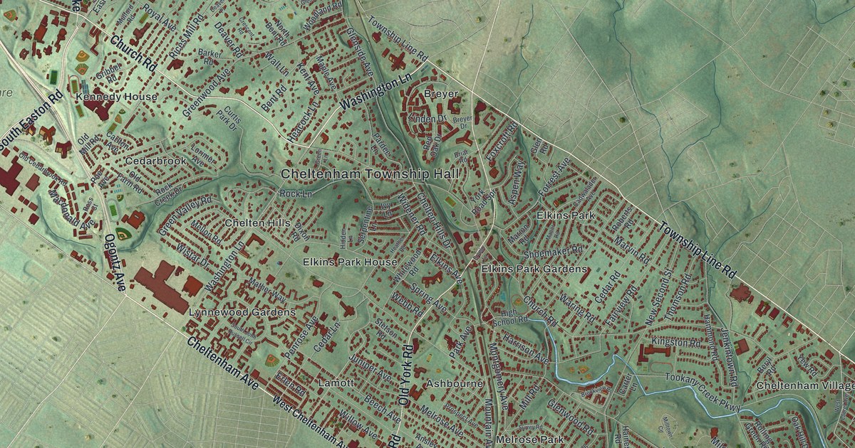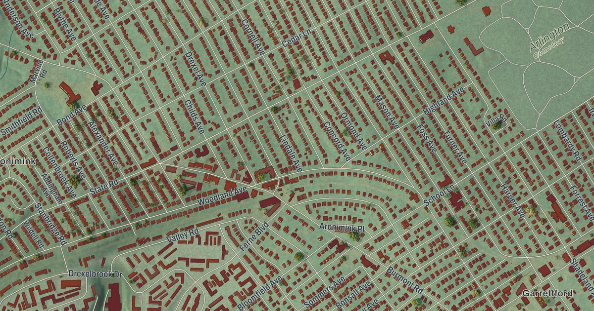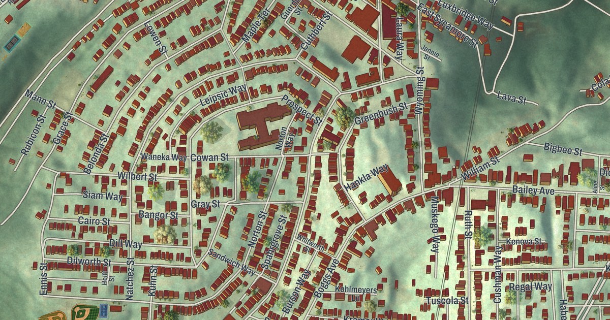
If you grew up on Grandview Avenue or climbed the steep streets below it, this map is for you. It's a modern aerial view of Mount Washington in Allegheny County, Pennsylvania, made with modern data and given a vintage feel. Thousands of red buildings crowd the green hilltop, packed along curving streets. A wide blue river runs across the top corner. On the left, a green valley follows Saw Mill Run Boulevard down the sheet.
Grandview Avenue, Shiloh Street and the hilltop blocks
On this map you'll find Grandview Avenue, Shiloh Street, Virginia Avenue, Southern Avenue, Boggs Avenue, Bailey Avenue, Prospect Street, Wyoming Street, Woodruff Street, West Sycamore Street, Saw Mill Run Boulevard, Emerald View Park, Duquesne Heights, and more. Each red shape is a building, so zoom in on the preview and look for yours.
Why Mount Washington was once called Coal Hill
Long before these houses, the hill had a plainer name. People called it Coal Hill. A state historical marker on Grandview Avenue, between Ulysses Street and Bertha Street, tells why. It says the state's soft coal industry was born here about 1760. The Pittsburgh coal bed was mined out of this hill to supply Fort Pitt. In time, that seam was judged the most valuable single mineral deposit in the country. The words come from the Pennsylvania Historical and Museum Commission. On the map, find Ulysses Street and Bertha Street where they meet Grandview Avenue. That's the spot.
The Monongahela Incline and the Boggs Avenue school
Grandview Avenue holds more history. The Monongahela Incline, at Grandview Avenue near Wyoming Street, was listed on the National Register of Historic Places in 1974. Two neighborhood schools made the list too. Prospect Junior High and Elementary School, near Southern Avenue, was listed in 1986. Boggs Avenue Elementary School, at Boggs and Southern avenues, followed in 1987.
Bring Grandview Avenue home
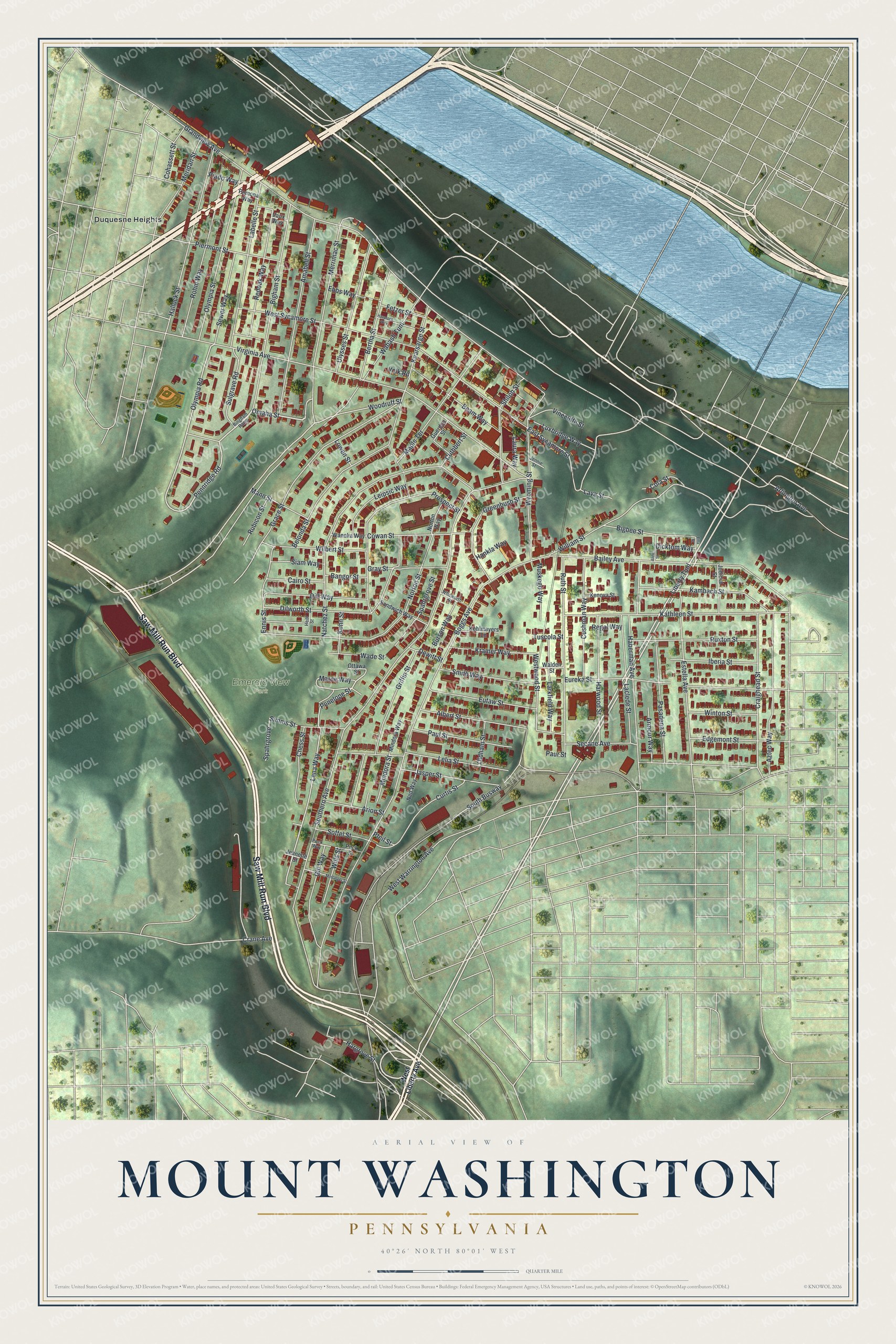
Created by KNOWOL in 2026, this print shows the hilltop in soft greens, with every building in deep red and a blue river along the top. The cream title panel at the bottom reads Aerial View of Mount Washington, Pennsylvania, 40°26' North 80°01' West.
It fits a living room, a hallway or a home office. It makes a good gift for someone who went to Boggs Avenue Elementary, or for anyone who moved away from the streets off Grandview Avenue. Open the preview and find your block. See sizes and frames for the Mount Washington map.