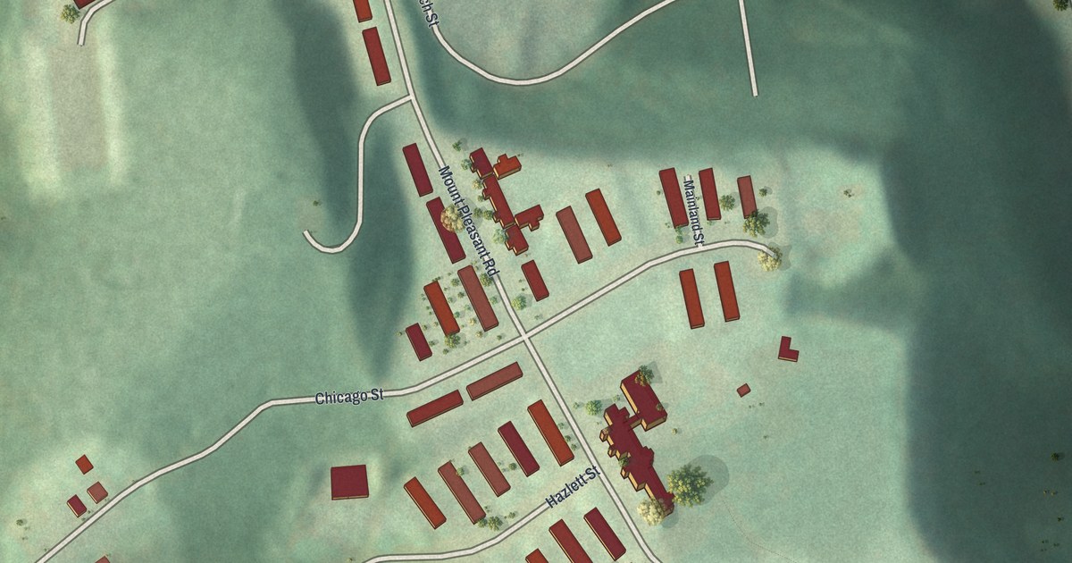
If you grew up on Mount Pleasant Road, or still have family near Penfort Street, this map puts that hilltop on your wall. It's a new aerial view of Northview Heights in Allegheny County, Pennsylvania, made with modern data and given a vintage look. The long rows of red homes sit on a high, flat ridge. Deep green hollows fall away around them. A wide highway runs down the left side, and Swindell Bridge crosses it near the bottom.
Mount Pleasant Road and the Hilltop Rows
On this map you'll find Mount Pleasant Road, Penfort Street, Hazlett Street, Chicago Street, Lamar Street, Swindell Bridge, City View, Vantassel Street, Milroy Street, Boyer Street, Fornof Street, Husk Street, East Street, Flint Way, and more. Each red shape is a building, so zoom in on the preview and look for yours.
Northview Heights sits up high. The homes crowd the top of a broad hill. The land drops off fast on the east, south and west. Trees fill those steep slopes, and a thin blue stream winds through the valley on the right side of the sheet.
The homes line up in long, even rows along Mount Pleasant Road and Penfort Street. Near the top of the hill, by Fornof Street and Husk Street, stands one large building with several wings. City View is printed near the bottom, right among the rows.
There's history close by, too. About a mile west, in Riverview Park, a state marker tells the story of the Allegheny Observatory. It's part of the University of Pittsburgh. It was chartered in 1860 and has stood in the park since 1912. At its first site nearby, Professor Samuel P. Langley ran tests that led to the first sustained, powered flight in 1896.
Keep Northview Heights and City View Close
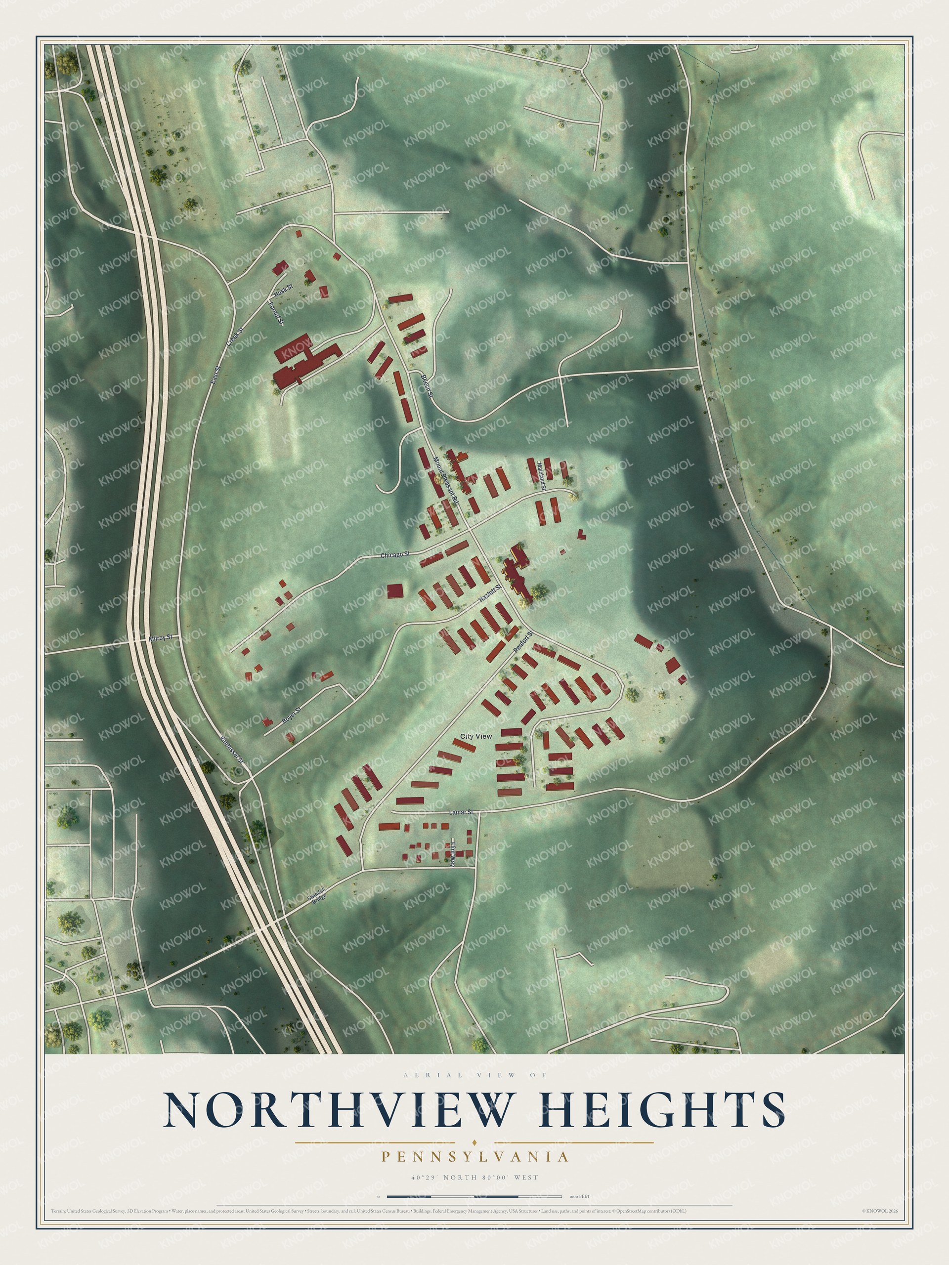
Created by KNOWOL in 2026, the print shows Northview Heights from above, with soft green hills, shaded hollows and red buildings on a cream border. The title panel reads "Aerial View of Northview Heights, Pennsylvania" with the coordinates 40°29' North 80°00' West.
It fits a living room, a hallway or a home office. It makes a good gift for anyone who grew up in the rows near City View and moved away, or for a family that still lives off Mount Pleasant Road. Open the preview and find your own street. See sizes and frames for the Northview Heights map.