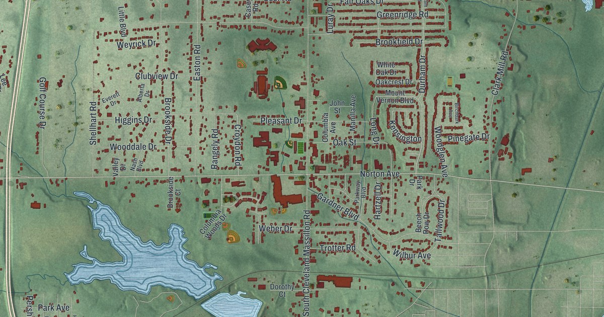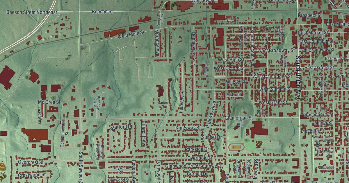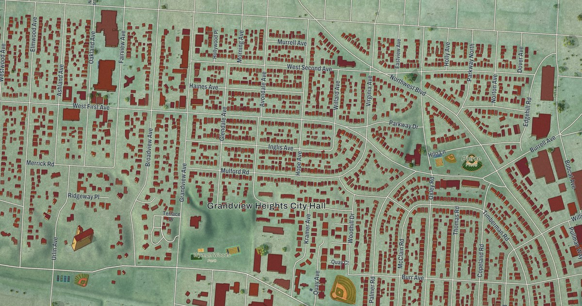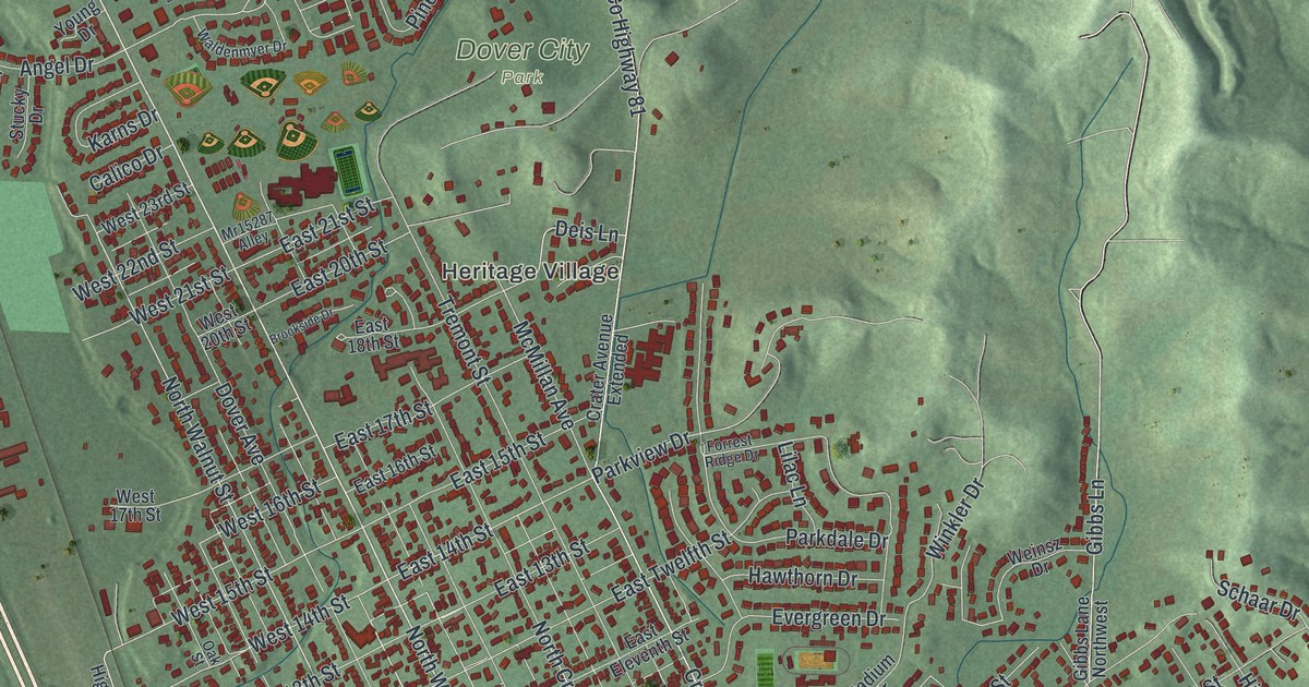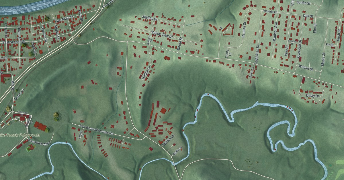
If you grew up on East Main Street or know your way around the Pike County Fairgrounds, this map is for you. It's a modern aerial view of Piketon in Pike County, Ohio, made from modern data and given a vintage feel. A wide blue river curves across the top. The old town grid sits at the upper left, and a winding creek loops through the green hills below it. Newer streets fill the right side along Market Street, and Big Beaver Creek Golf Club sits at the bottom right.
From Mill Street to Market Street
On this map you'll find East Main Street, Market Street, Mill Street, West Second Street, East Fourth Street, Zebulon Street, Fitch Street, Lucas Street, Madison Avenue, Walnut Street, Shyville Road, American Boulevard, Pike County Fairgrounds, Big Beaver Creek Golf Club, and more. Each red shape is a building, so zoom in on the preview and look for yours.
Piketon, Pike County's First County Seat
Piketon started as a county seat. Pike County was named for General Zebulon Pike, who was killed in the War of 1812. The county was organized in February 1815. That May, the county commissioners accepted 40 acres of land from Elisha Fitch. They named the new seat Piketon. Both names still show up on the map today, on Zebulon Street and Fitch Street.
In 1816, the county hired builders for a courthouse and jail. The two-story brick courthouse was finished in 1819. Its bricks were laid in a pattern called Flemish bond. A fire burned some of its offices on October 9, 1844. The repaired building stayed the seat of county government until 1861. It stands at 715 East Main Street, so find East Main Street on the map to spot its block. Limestone blocks above its windows still carry the names of the old county offices, says the Remarkable Ohio marker from the Ohio History Connection. It's part of the Piketon Historic District, listed on the National Register of Historic Places in 1974.
Keep East Main Street Close

Created by KNOWOL in 2026, this print shows Piketon from above in soft greens, with shaded hills, blue water and small red buildings. The cream title panel reads "Aerial View of Piketon, Ohio" with the coordinates 39°04' North 83°01' West.
It fits a living room, a front hall or a home office. It's a good gift for a family with deep Pike County roots, or for anyone who moved away and still thinks about the Pike County Fairgrounds. Open the preview and find your street. See sizes and frames for the Piketon map.