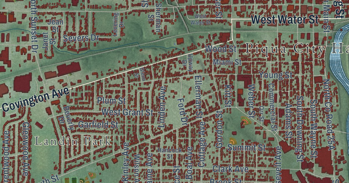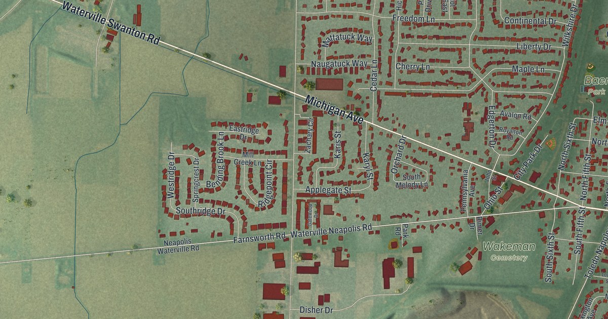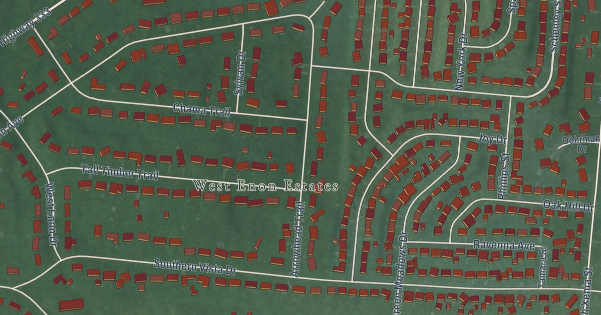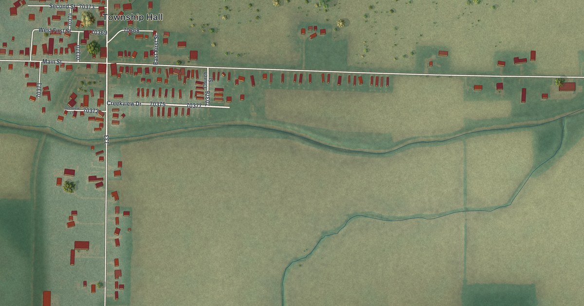
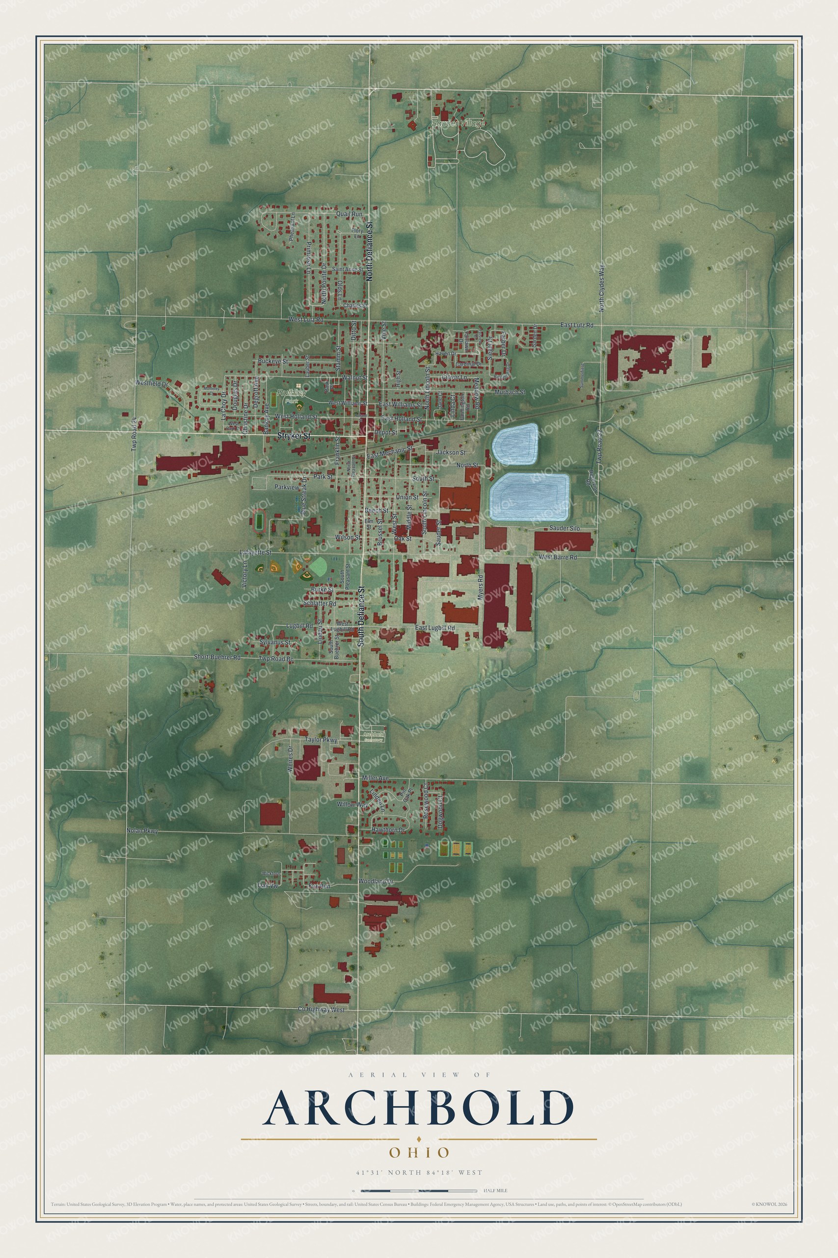
This beautifully detailed map of Archbold, Ohio was created in 2026 using aerial imagery combined with modern topographical, census, street and landmark data. It’s a one-of-a-kind view of Archbold that combines accurate data with a vintage aesthetic. The map shows every building in its true location, many of the roads carry their names, and the shaded topographic relief shows the shape of the land.
Explore an aerial view of Archbold, Ohio
On the map you’ll find Ruihley Park, Sauder Village, and Archbold Cemetery, along with North Defiance Street, South Defiance Street, Stryker Street, North Pointe Drive, Lugbill Road, East Lugbill Road, West Barre Road, South Street, Meadow Road, and more. If you look closely you can even find your house accurately drawn in its correct location. Zoom in on the preview to look for yours.
Did you know this piece of Archbold, Ohio history?
On January 4, 1948, an Archbold farmer was pulling thirteen children on a bobsled behind his tractor. A New York Central passenger train hit them at an unguarded railroad crossing. Ten of the children died, and three survived with injuries. No event in Fulton County history took more lives.
Take a closer look at the Archbold map
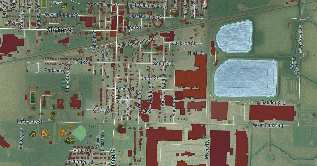
Street and place names on the Archbold, Ohio map
These names are printed on the map of Archbold, Ohio.
Places: Ruihley Park, Sauder Village and Archbold Cemetery.
Streets and roads: North Defiance Street, South Defiance Street, Stryker Street, North Pointe Drive, Lugbill Road, East Lugbill Road, West Barre Road, South Street, Meadow Road, East Lutz Road, Twp Road 22, North Clydes Way.
More street names, A to Z
Bankey Avenue, Beech Street, Blue Streak Drive, Brussel Street, Buckeye Street, Burke Street, Cardinal Drive, Charles Street, Christine Drive, Clover Lane, County Highway West, Degroff Avenue, Depot Street, Ditto Street, Dogwood Court, Douglas Drive, East Holland Street, East Mechanic Street, East Williams Street, Elm Street, Fairlawn Drive, Fairview Court, Farber Drive, Farmington Road, Flory Lane, Fox Run, Franklin Street, Garden Drive, Haven Drive, Hawthorn Drive, High Street, Holland Street, Jackson Street, Jane Court, La Choy Drive, Lafayette Street, Lauber Street, Linda Court, Lindau Street, Linden Lane, Middle Street, Miller Avenue, Monterey Court, Murbach Street, Myers Road, Nolan Parkway, North Lincoln Street, North Pleasant Street, North Street, Oak Street, Oak Vw, Olds Lane, Park Place, Park Street, Parkview, Pheasant Lane, Pin Oak Place, Primrose Lane, Quail Run, Reservior Road, Ringenberg Drive, Rosewood Court, Saint Anne Street, Sauder Silo, Sauder Street, Schlatter Road, Short-Buehrer Road, Siegel Drive, South Buehrer Street, South Lincoln Street, South Pleasant Street, Stamm Street, Summerfield, Sylvanus Street, Taylor Parkway, Twp Road 24, Twp Road Bc, Union Street, Victory Lane, Vine Street, Walnut Street, Weires Drive, Westfield Drive, West Holland Street, West Lugbill Road, West Lutz Road, West Park Drive, West Street, West Williams Street, Wickford, Willow Way, Wilson Street, Woodland Drive.
See the Archbold, Ohio map on a wall
The Archbold map as an 18 x 24 inch print in a black frame.

This beautifully detailed map of Archbold makes an attractive addition to your office, library, or den, and it can even be used to teach children the geography and history of the area. It also makes a great gift for someone who left Archbold and still calls it home. When you’re done exploring, click here to get your copy of the Archbold map.