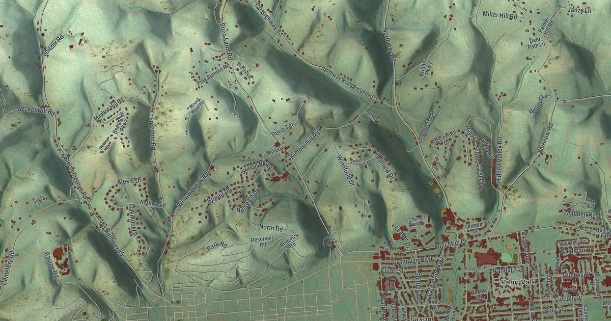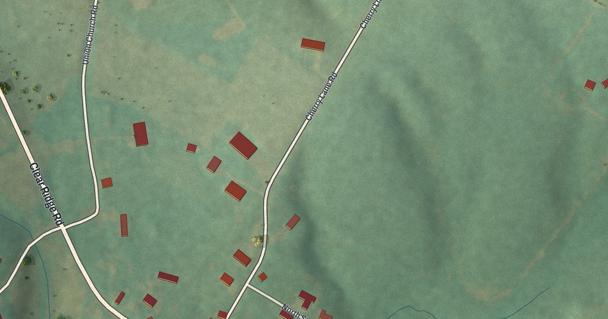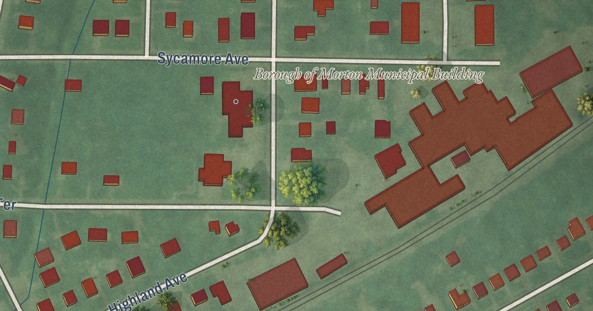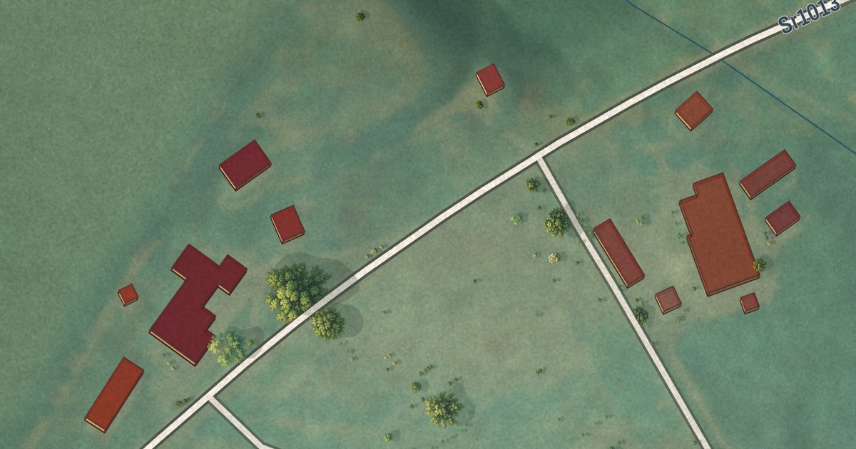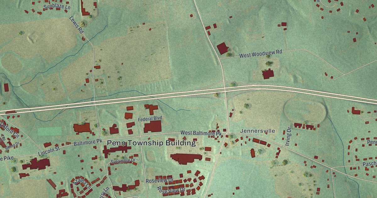
This beautifully detailed map of Penn, Chester County, Pennsylvania was created in 2026 using aerial imagery combined with modern topographical, census, street and landmark data. It’s a one-of-a-kind view of Penn that combines accurate data with a vintage aesthetic. The map shows every building in its true location, many of the roads carry their names, and the shaded topographic relief shows the shape of the land.
Explore an aerial view of Penn, Chester County, Pennsylvania
On the map you’ll find Penn Township Building, Elkview, Kelton, Jennersville, and West Baltimore Pk, along with West Baltimore Pike, South Jennersville Road, North Jennersville Road, State Road 896, Newark Road, Jenners Pond Road, Bayberry Lane, and more. If you look closely you can even find your house accurately drawn in its correct location. Zoom in on the preview to look for yours.
Did you know this piece of Penn, Chester County, Pennsylvania history?
Penn Township was formed in 1817, when Londonderry Township was split in two. It later became the home of Sunset Park. That outdoor stage ranked among the most popular country music venues in America. Locals also call their township the Nursery Capital of the World.
Take a closer look at the Penn, Chester County map
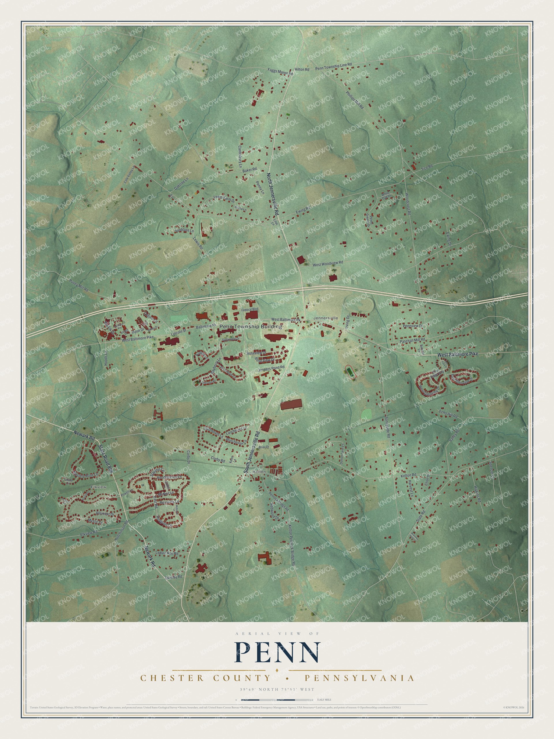
Street and place names on the Penn, Chester County, Pennsylvania map
These names are printed on the map of Penn, Chester County, Pennsylvania.
Places: Penn Township Building, Elkview, Kelton and Jennersville.
Streets and roads: West Baltimore Pike, South Jennersville Road, North Jennersville Road, State Road 896, Newark Road, Jenners Pond Road, Bayberry Lane, West Baltimore Pk, East Road, Baltimore Pk, Hodgson Circle, Mystery Rose Lane.
More street names, A to Z
Allsmeer Drive, Ambrogio Road, Azalea Lane, Baker Road, Big Elk Drive, Bourban Lane, Briar Drive, Canterbury Lane, China Circle, Cole Valley Lane, Corby Drive, Corby Road, Cullen Lane, Dartmouth Lane, Deer Track Court, Dutton Farm Lane, East Glenview Drive, Echo Hill Road, Elkview Road, Elliott Drive, Ewing Drive, Ewing Road, Faggs Manor Road, Federal Boulevard, Greenbriar Lane, Harvest Lane, Hendrickson Lane, Hilltop Drive, Hilton Road, Hipkins Road, Hoods Lane, Hutchinson Road, Irving Drive, Kelton Pennock Bridge Road, Kelton Road, Keno Lane, Larchmont Lane, Ledum Run Road, Lewis Farm Drive, Lewis Road, Lilac Lane, Lincoln Street, Luke Street, McDowell Lane, McKinney Farm Lane, McNeil Lane, Mystic Lane, Oaktree Lane, Oxford Circle, Paschall Mill Road, Penn Drive, Pennock Bridge Road, Penn Ridge Way, Penns Greene Drive, Penn Township Line Road, Pennview Drive, Penny Lane, Phillips Mill Road, Portland Circle, Powell Lane, Pusey Mill Road, Quimby Road, Redwood Drive, Reynolds Lane, Roma Lane, Roseview Drive, Rose View Drive, Spencer Lane, State Road, Stauffer Circle, Sumner Lane, Sunblaze Lane, Sunnyside Road, Sycamore Drive, Tice Road, Top Lane, Valley Road, Village Drive, West Glenview Drive, Westview Way, West Woodview Road, White Oak Drive, Winchester Lane, Woodcrest Road.
See the Penn, Chester County, Pennsylvania map on a wall
The Penn, Chester County map as an 18 x 24 inch print in a black frame.

This beautifully detailed map of Penn, Chester County makes an attractive addition to your office, library, or den, and it can even be used to teach children the geography and history of the area. It also makes a great gift for anyone with Penn roots. When you’re done exploring, click here to get your copy of the Penn, Chester County map.