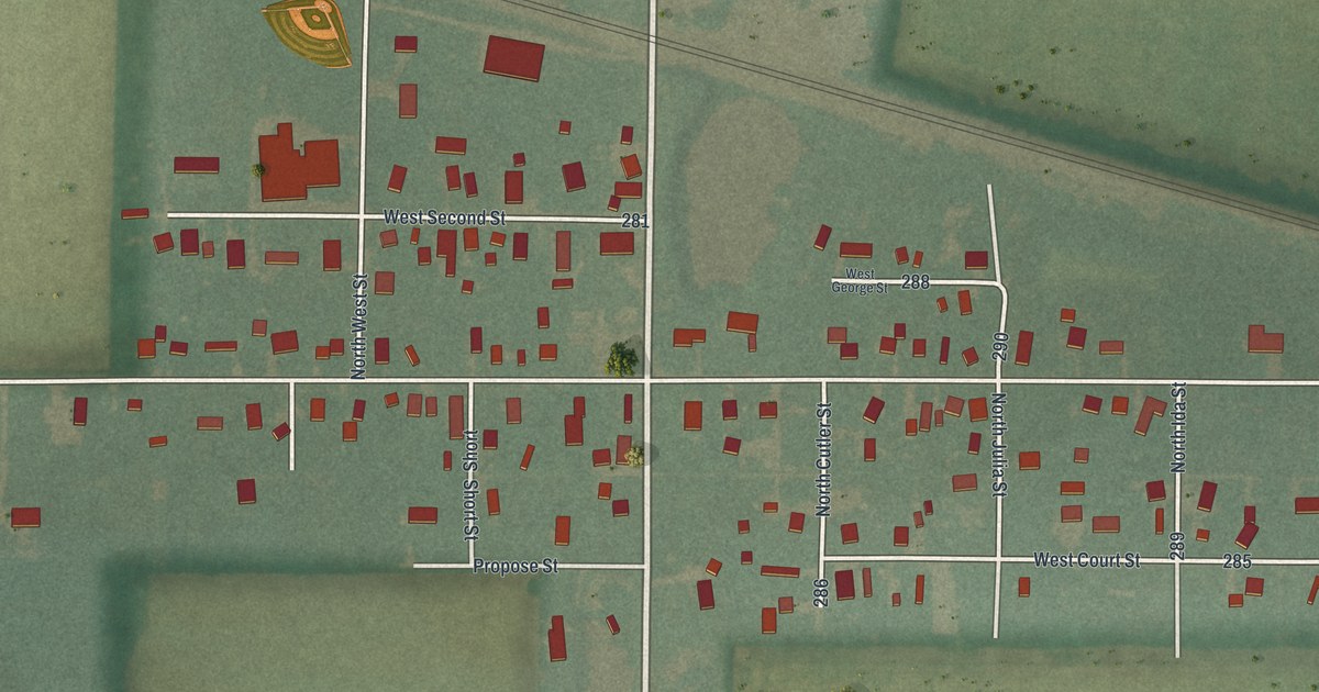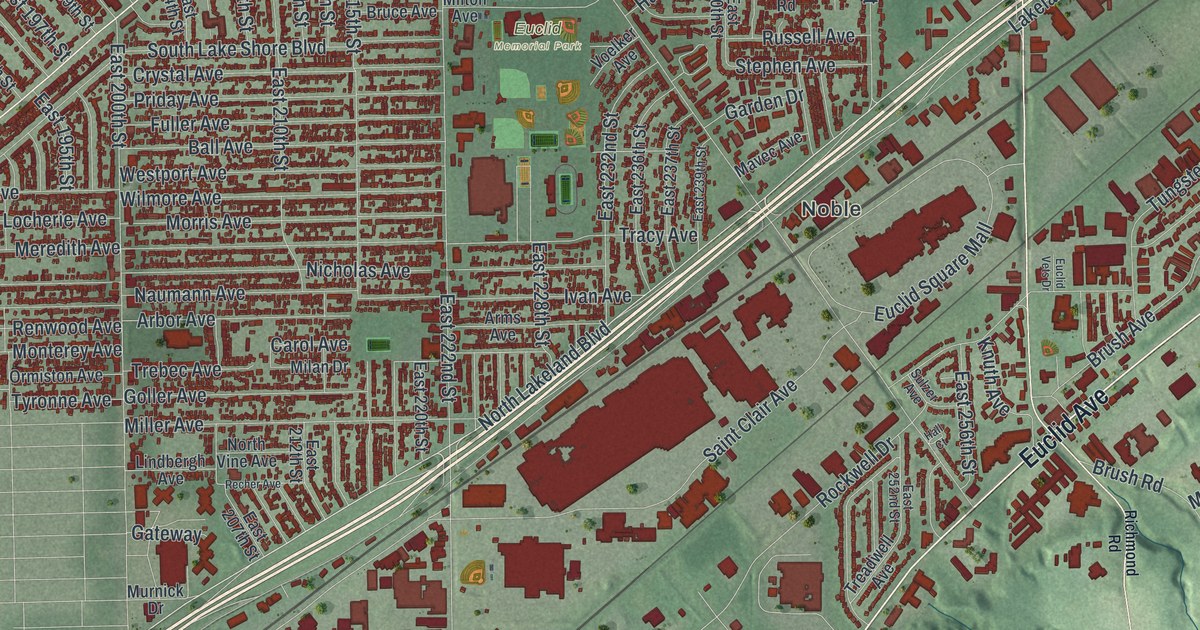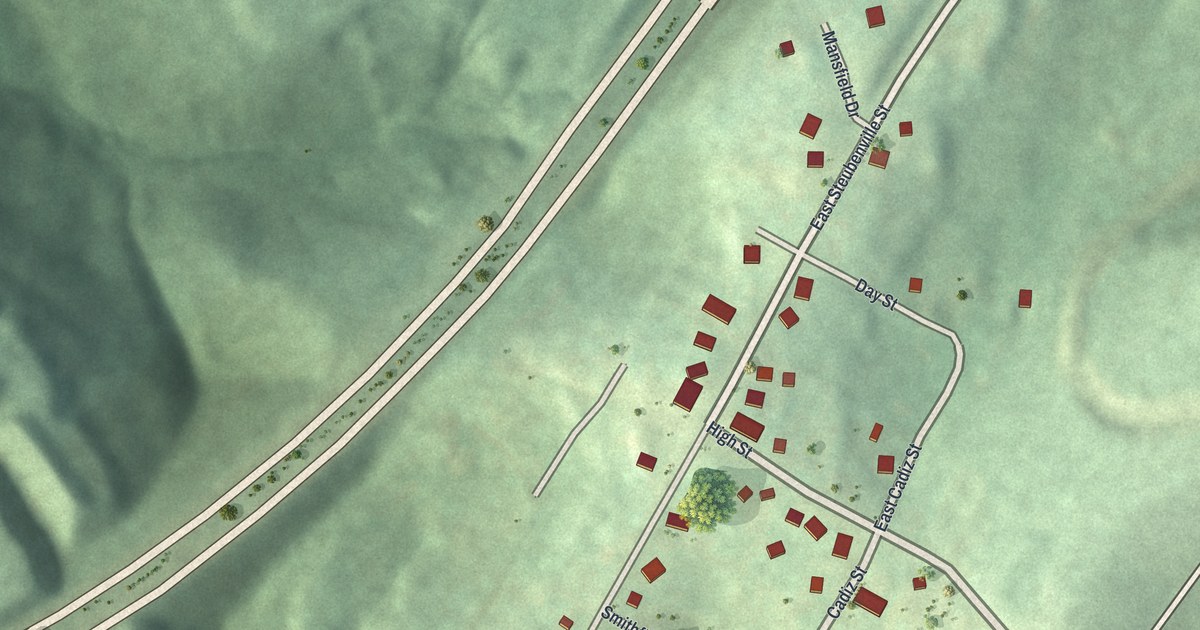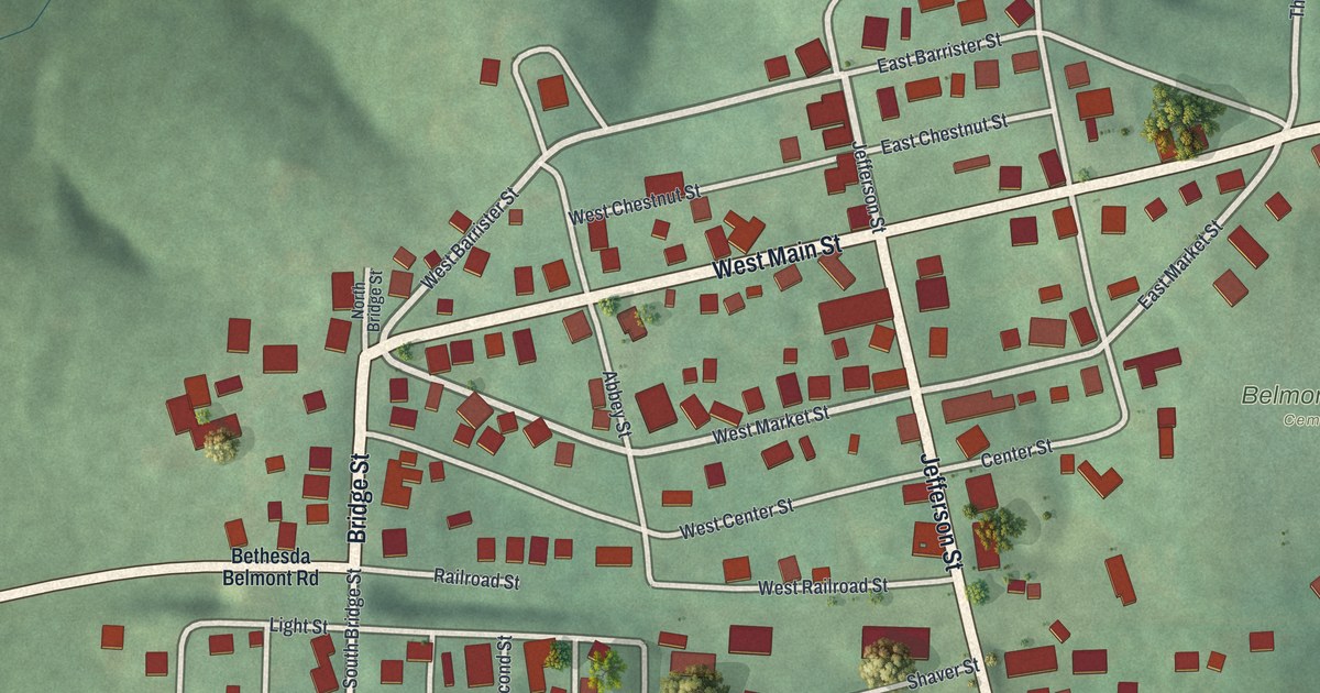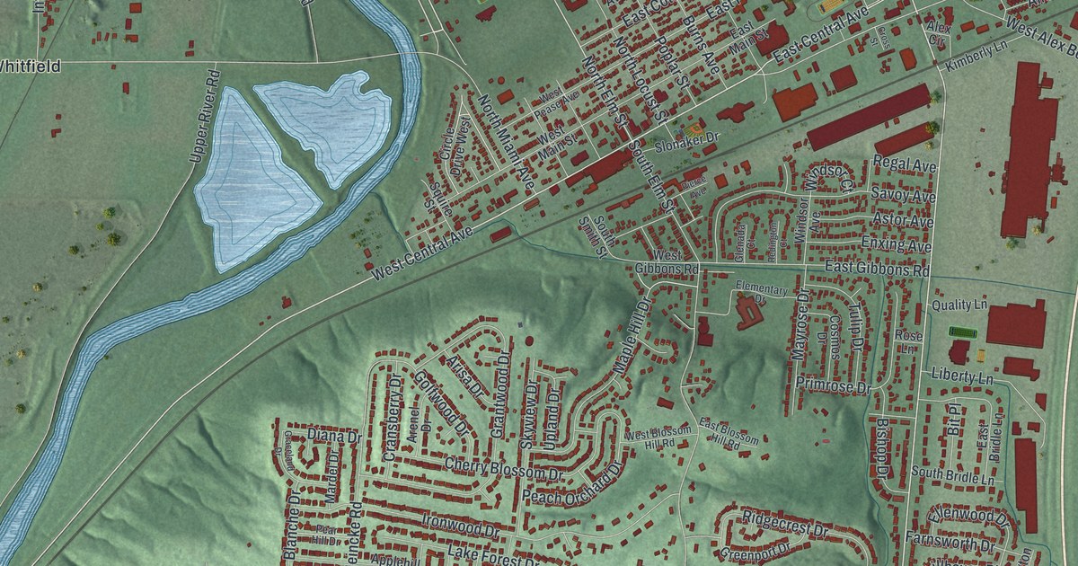
If you grew up in West Carrollton, look for your old street on this print. It's a modern aerial view of West Carrollton in Montgomery County, Ohio, made with modern data and a vintage feel. Red buildings fill the town's blocks, with green hills and a wide blue river around them.
West Carrollton streets and Whitfield
On this map you'll find East Dixie Drive, West Central Avenue, East Central Avenue, South Alex Road, North Alex Road, Hydraulic Road, North Elm Street, South Elm Street, Student Street, Wilson Park Drive, Springboro Pike, Whitfield, and more. Each red shape is a building, so zoom in on the preview and look for yours.
Woody's Market on East Dixie Drive
Woody's Market started with one person selling produce in the open air. According to the Woody's Market historical marker, Woodrow W. Bowman started it in 1944. It grew into a full-service shopping center with 500 employees. The doors stayed open 24 hours a day, seven days a week.
The Over-the-Road-Restaurant opened in 1968 and became a place for the community to gather. The market closed in May 1999, after more than fifty years. Its marker stands at East Dixie Drive and West Alex Bell Road. Both roads appear on this map, giving you a way to find that part of town.
Keep West Carrollton close
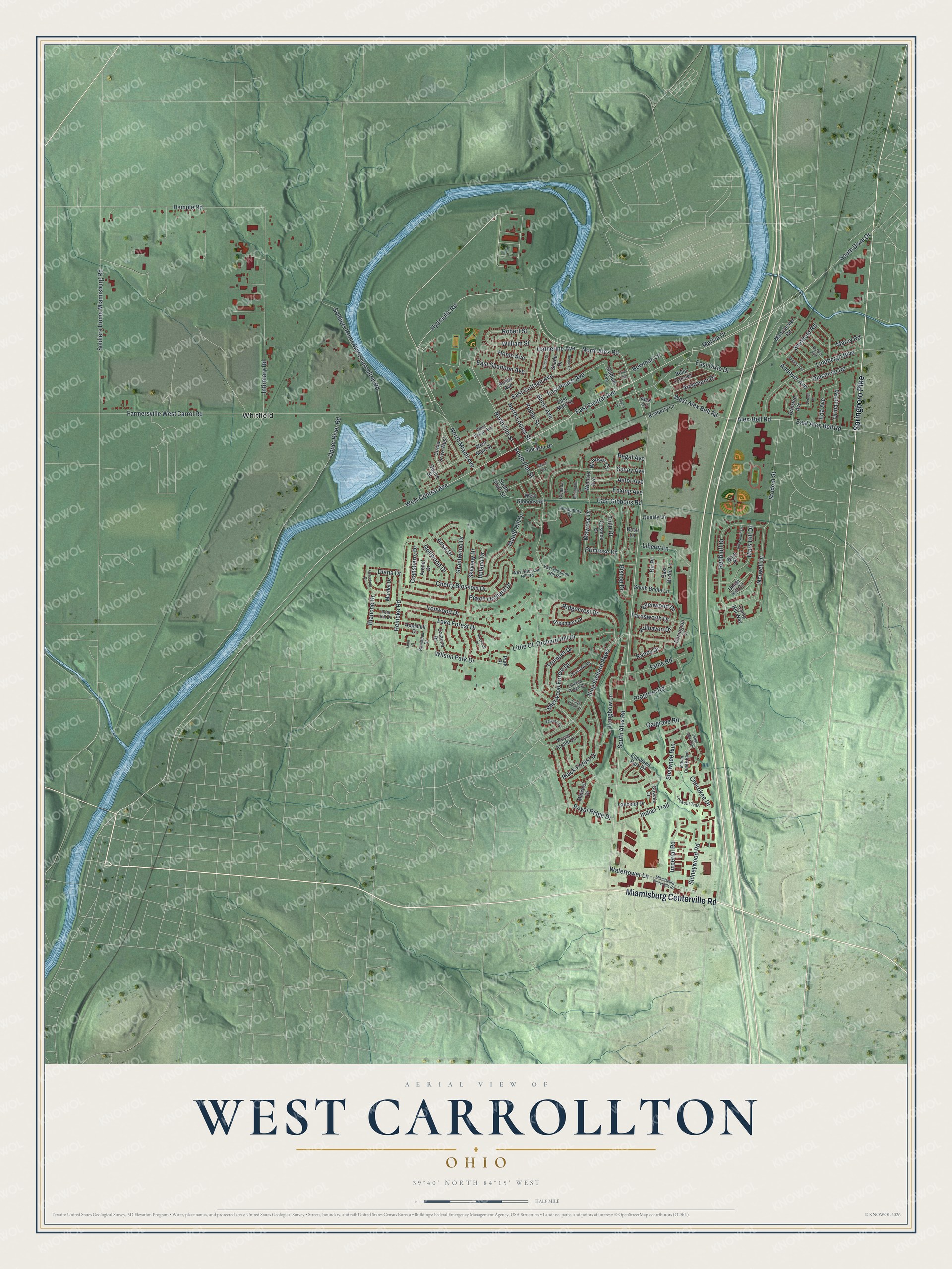
Created by KNOWOL in 2026, this print has green shaded land, blue water, red buildings, and a cream border. The title panel reads AERIAL VIEW OF WEST CARROLLTON, OHIO, with 39°40' NORTH 84°15' WEST below.
Hang it in a living room, home office, or entryway. It's a gift for someone who grew up near East Dixie Drive, or family who moved away from West Carrollton. Open the preview to look for a familiar block and see the whole print. See sizes and frames for the West Carrollton map.