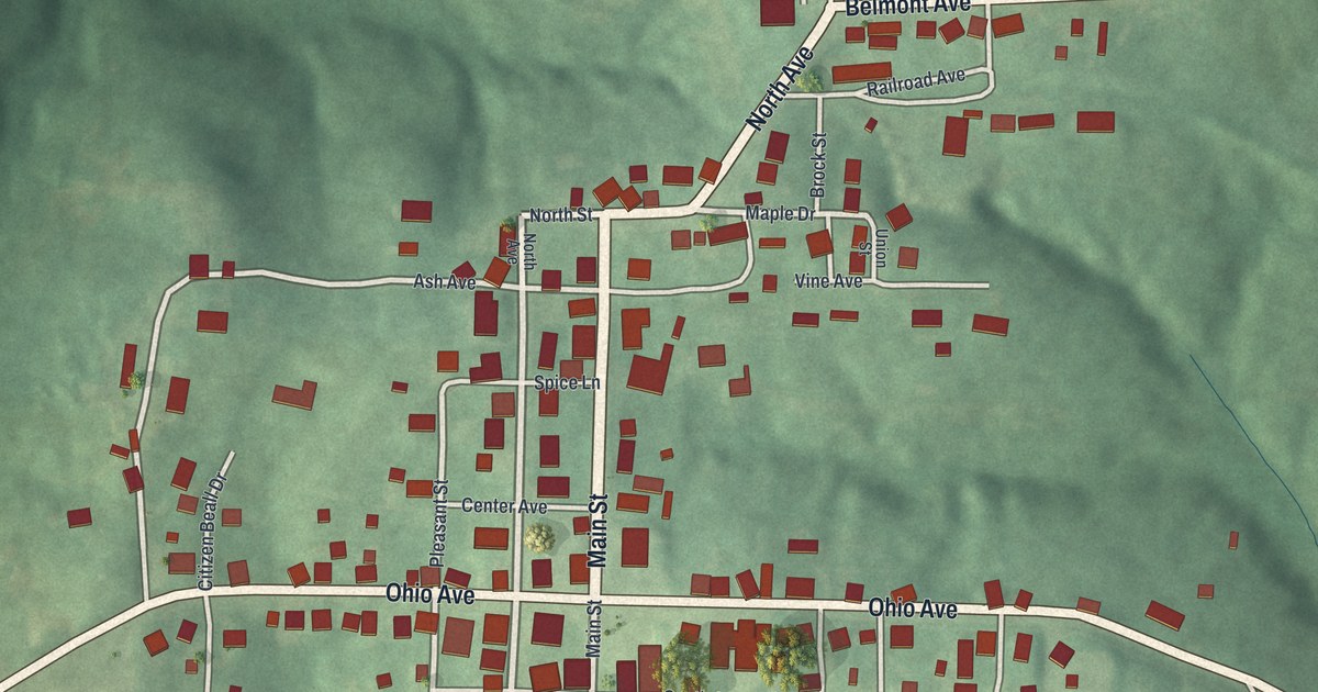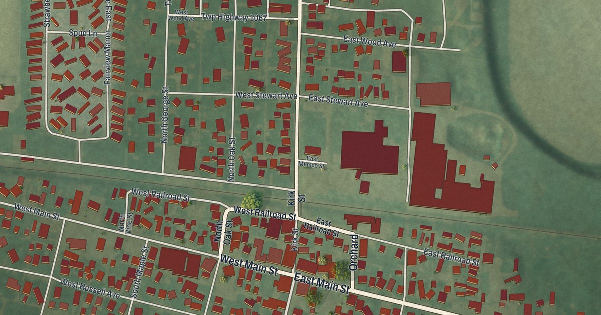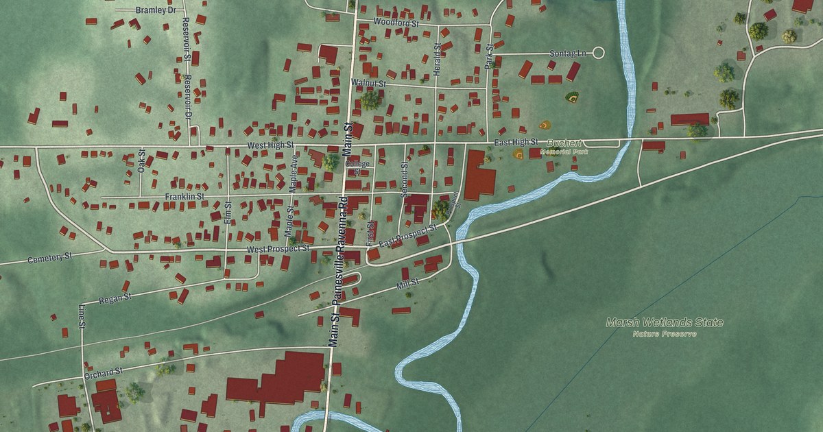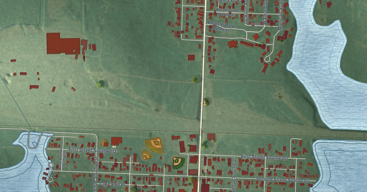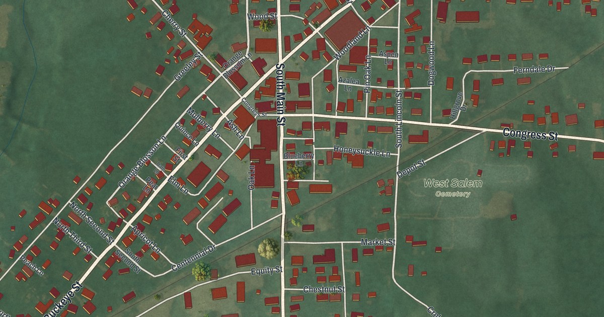
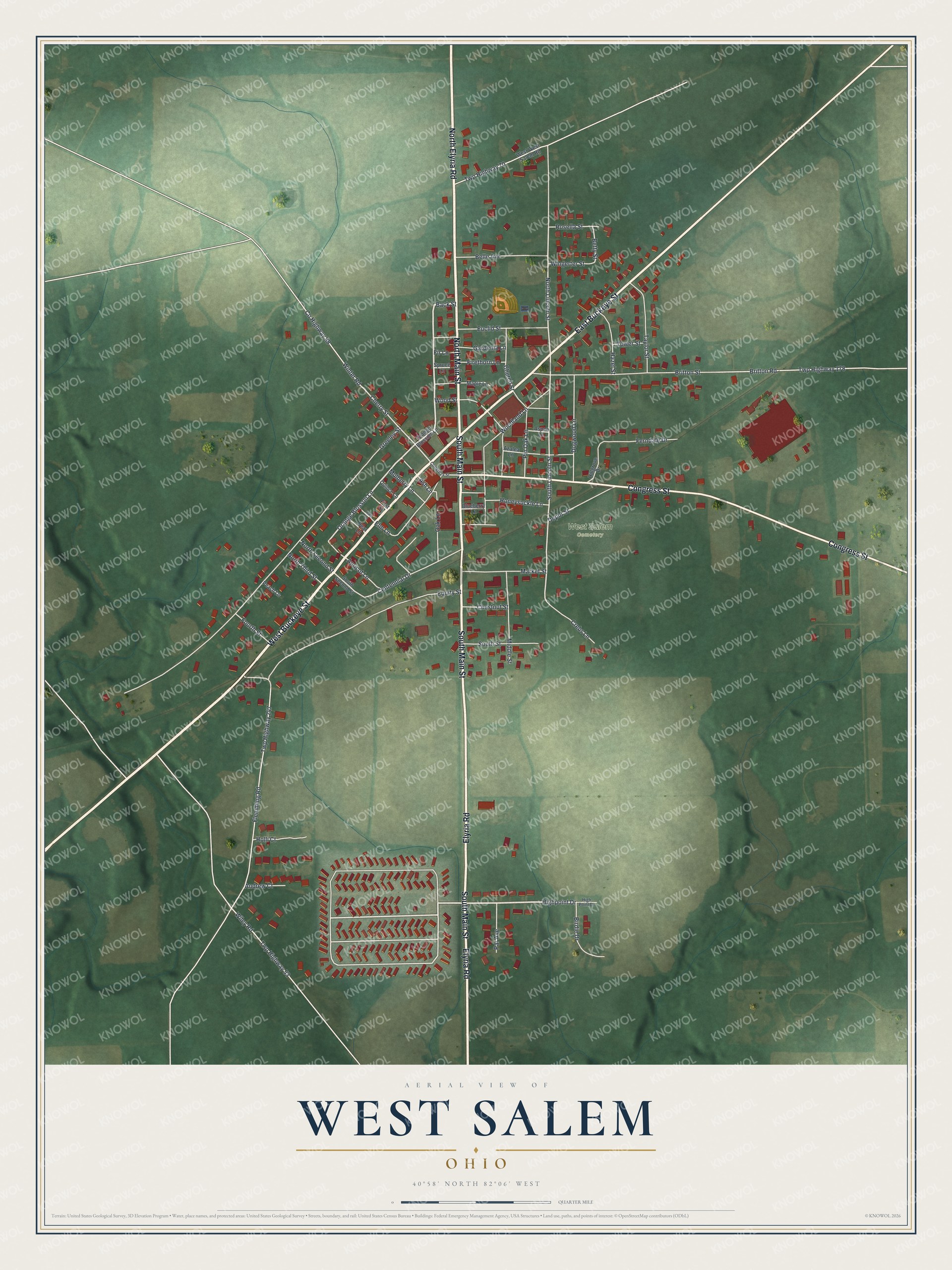
If you grew up in West Salem, look for your old street on this print. It's a modern aerial view of West Salem in Wayne County, Ohio, made with modern data and a vintage feel. Red building shapes line the streets, with green fields and shaded land around them.
West Salem's City Hall and opera house
On this map you'll find South Main Street, North Main Street, West Buckeye Street, East Buckeye Street, Congress Street, Market Street, Depot Street, Church Street, Cherry Street, North Lincoln Street, South Lincoln Street, West Salem Cemetery, and more. Each red shape is a building, so zoom in on the preview and look for yours.
West Salem City Hall had room for both town business and a show. According to its Ohio historical marker, the building was completed in 1899. The fire station, jail, and council chambers shared the ground floor. Upstairs was a public hall, known as the opera house. William K. Shilling, a native of West Salem, designed the building. Its address is 27 South Main Street, a street you can find on this map.
Before World War II, the opera house hosted band concerts and stage shows. Town meetings and graduation ceremonies took place there, too. During the Cold War, the hall was named an emergency field hospital. That single building served the town through work, celebrations, and plans for hard times. Think of those gatherings as you look for South Main Street among the red buildings.
Keep West Salem and Main Street close
Names on this map
These names are printed on this map.
Places: West Salem Cemetery.
Streets and roads: West Buckeye Street, North Elyria Road, East Buckeye Street, Congress Street, South Main Street, North Main Street, Elyria Road, Back Street, Highpoint Drive, Orange Blosson Lane, North Lincoln Street, South Lincoln Street.
More street names, A to Z
Andrew Court, Apricot Lane, Ash Lane, Aspen Lane, Azalea Lane, Belle Avenue, Betty Street, Birdie Drive, Blueberry Lane, Britton Road, Britton Street, Centennial Drive, Cherry Street, Chestnut Street, Church Street, County Highway 88, Crebs Lane, Date Lane, Depot Street, Dogwood Lane, Elm Lane, Equity Street, Euclid Street, Ferndale Drive, Firethorn Lane, Fir Lane, First Street, Flemming Road, Fourth Street, Gardenia Lane, Greeley Street, Hazel Street, High Point Drive, Hillgrove Drive, Holli Court, Honeysuckle Lane, Maple Lane, Market Street, Middle Street, Mulberry Lane, North Second Street, North Third Street, Oak Lane, Orange Blossom Lane, Par Avenue, Peach Lane, Pear Lane, Pin Oak Lane, Quince Lane, Rosella Street, South Second Street, South Street, Spruce Lane, Taylor Street, Tower Street, Twp Highway 53, Twp Highway 70, Twp Highway 178, Twp Highway 247, West West Salem Road, Wiley Road, Wingerter Street, Winter Road, Woodland Lane, Wood Street.
Created by KNOWOL in 2026, this print pairs deep green land with red buildings and pale road lines. A cream border surrounds the view. The title panel reads AERIAL VIEW OF, WEST SALEM, OHIO, and 40°58' NORTH 82°06' WEST.
Hang it in a living room, office, or entryway to keep home close. It's a thoughtful gift for someone who grew up on South Main Street or moved away from West Salem. Open the preview to find familiar streets and choose a spot for the print. See sizes and frames for the West Salem map.