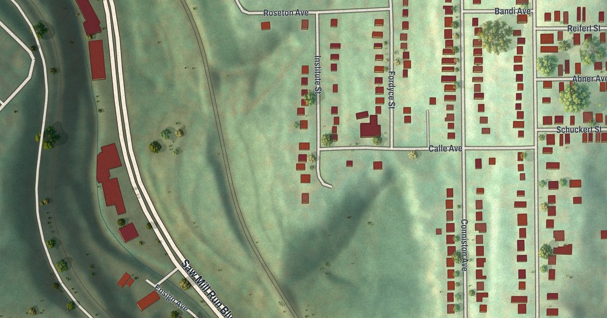
If you grew up on Bon Air Avenue or still have family on Conniston Avenue, this map is for you. It's a modern aerial view of Bon Air in Allegheny County, Pennsylvania, made from modern data and given a vintage look. The homes sit close together on a hilltop, each one a small red shape. A deep green valley runs down the left side, with Saw Mill Run Boulevard along its floor. McKinley Park is printed on the green slope just above the houses.
Bon Air Avenue, Conniston Avenue and McKinley Park
On this map you'll find Bon Air Avenue, Conniston Avenue, McKinley Park, Saw Mill Run Boulevard, West Liberty Avenue, Bausman Street, Camfield Street, Vernon Way, Caperton Street, Roseton Avenue, Calle Avenue, Grosser Street, Schuckert Street, Drycove Street, and more. Each red shape is a building, so zoom in on the preview and look for yours.
Bon Air is small, and you can take in all of it at once. The houses stand in long, neat rows on top of the hill. Past the last rows, the land drops into a deep valley. Down there, Saw Mill Run Boulevard and a rail line lie side by side. A few larger red buildings line the boulevard. Across the valley, more streets climb and curl through the wooded hills.
Bon Air is one of Pittsburgh's neighborhoods, and Pittsburgh is where the polio vaccine was made. A state marker at Salk Hall in Oakland tells it. From 1948 to 1955, Dr. Jonas Salk led a team at the University of Pittsburgh's Virus Research Laboratory. Their work produced the world's first polio vaccine. It was announced on April 12, 1955. School children then got the shots, and by 1962 polio was nearly gone from the United States.
A Map of Bon Air and McKinley Park
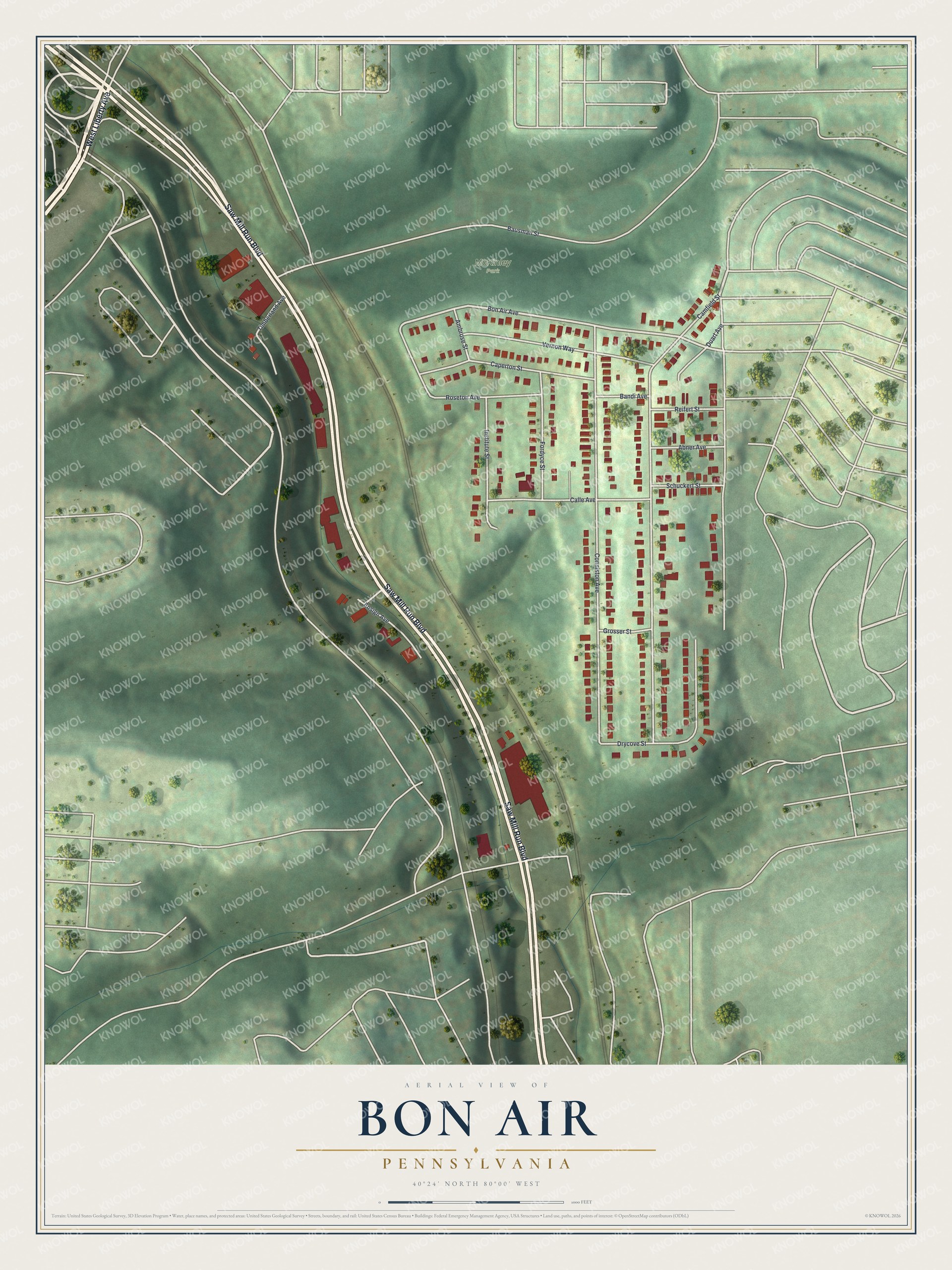
Created by KNOWOL in 2026, this print shows Bon Air from above in soft greens, with shaded hills, dark trees, cream streets and red buildings. The title panel reads Aerial View of Bon Air, Pennsylvania, with the coordinates 40°24' North 80°00' West.
It suits a living room, a hallway or a home office. It's a good gift for someone who grew up near McKinley Park, or for a friend who moved away from Bon Air Avenue. Open the preview and find the street you know. See sizes and frames for the Bon Air map.