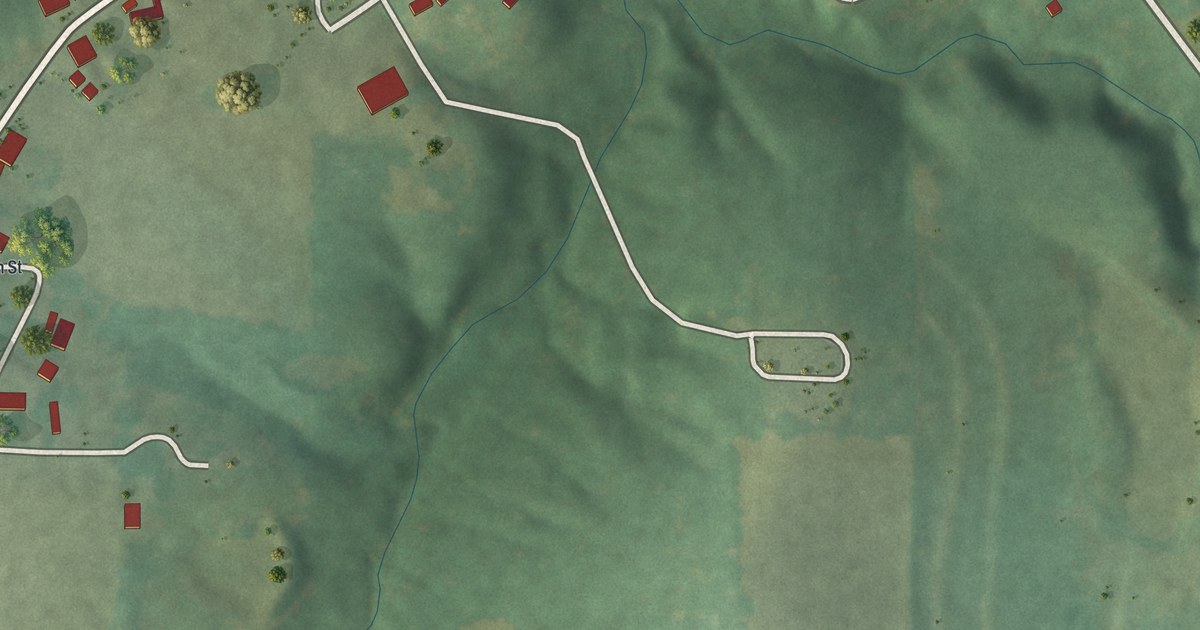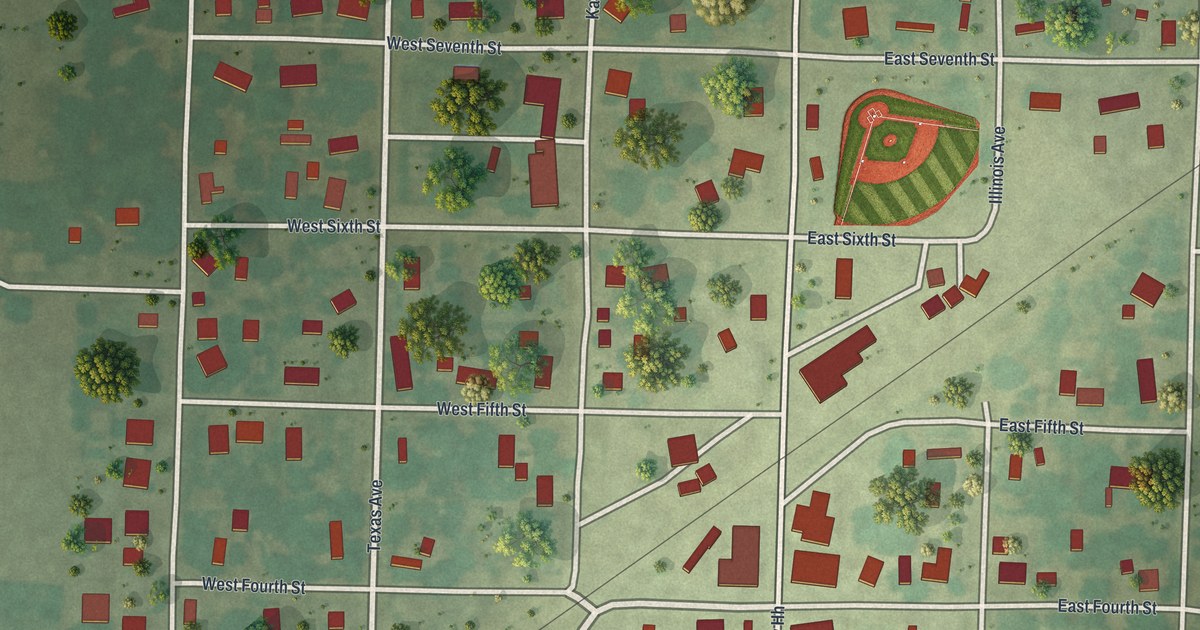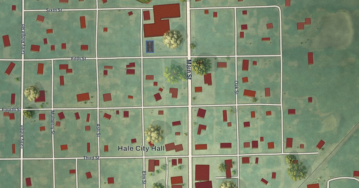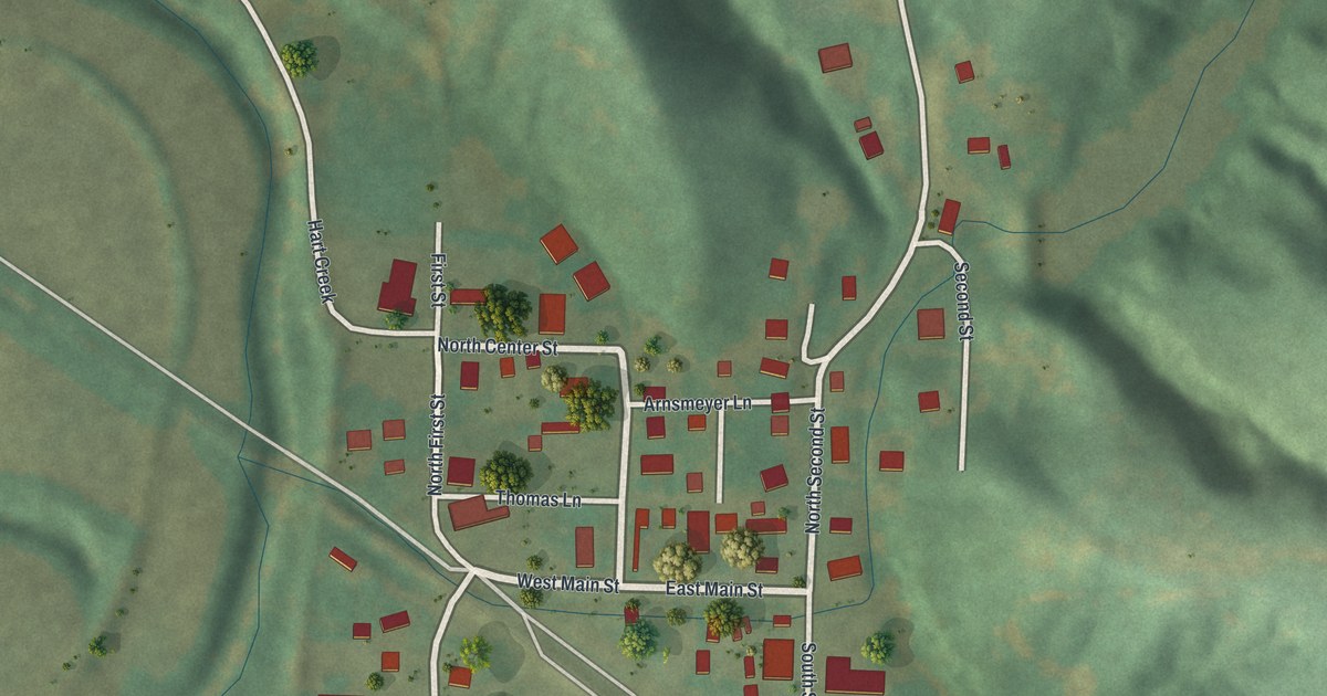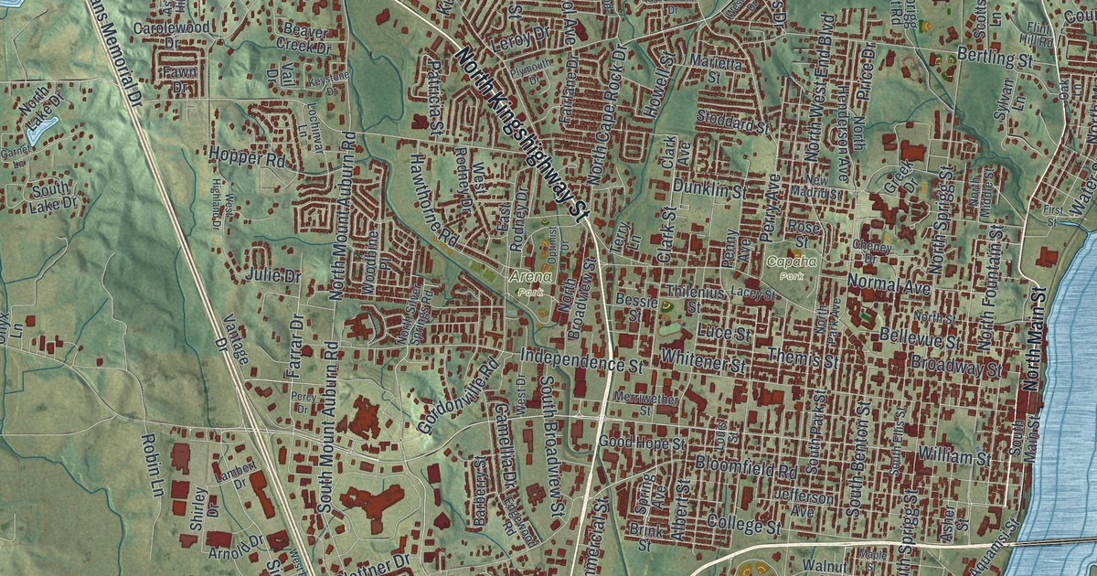
If you grew up in Cape Girardeau, look for your old block here. It's a modern aerial view of Cape Girardeau in Cape Girardeau County, Missouri, made with modern data and a vintage feel. Red building shapes fill the street grid beside a broad blue river. Green hills spread beyond the city blocks.
Broadway Street, Capaha Park, and Cape Girardeau's past
On this map you'll find Broadway Street, North Main Street, William Street, Independence Street, North Kingshighway Street, North Sprigg Street, Themis Street, Water Street, Capaha Park, Arena Park, Shawnee Park, and more. Each red shape is a building, so zoom in on the preview and look for yours.
Cape Girardeau's early story reaches back to the days of French troops. The State Historical Society of Missouri's historic place-name account describes Ensign Sieur Girardat, whose activities centered near Cape Girardeau. From 1704 to 1720, he served with the royal troops of France, stationed at Kaskaskia in the Illinois country. That account gives you an early name to connect with Cape Girardeau's title panel. The print brings the view into 2026, with today's city blocks beside the river.
Cape Girardeau's streets and green hills
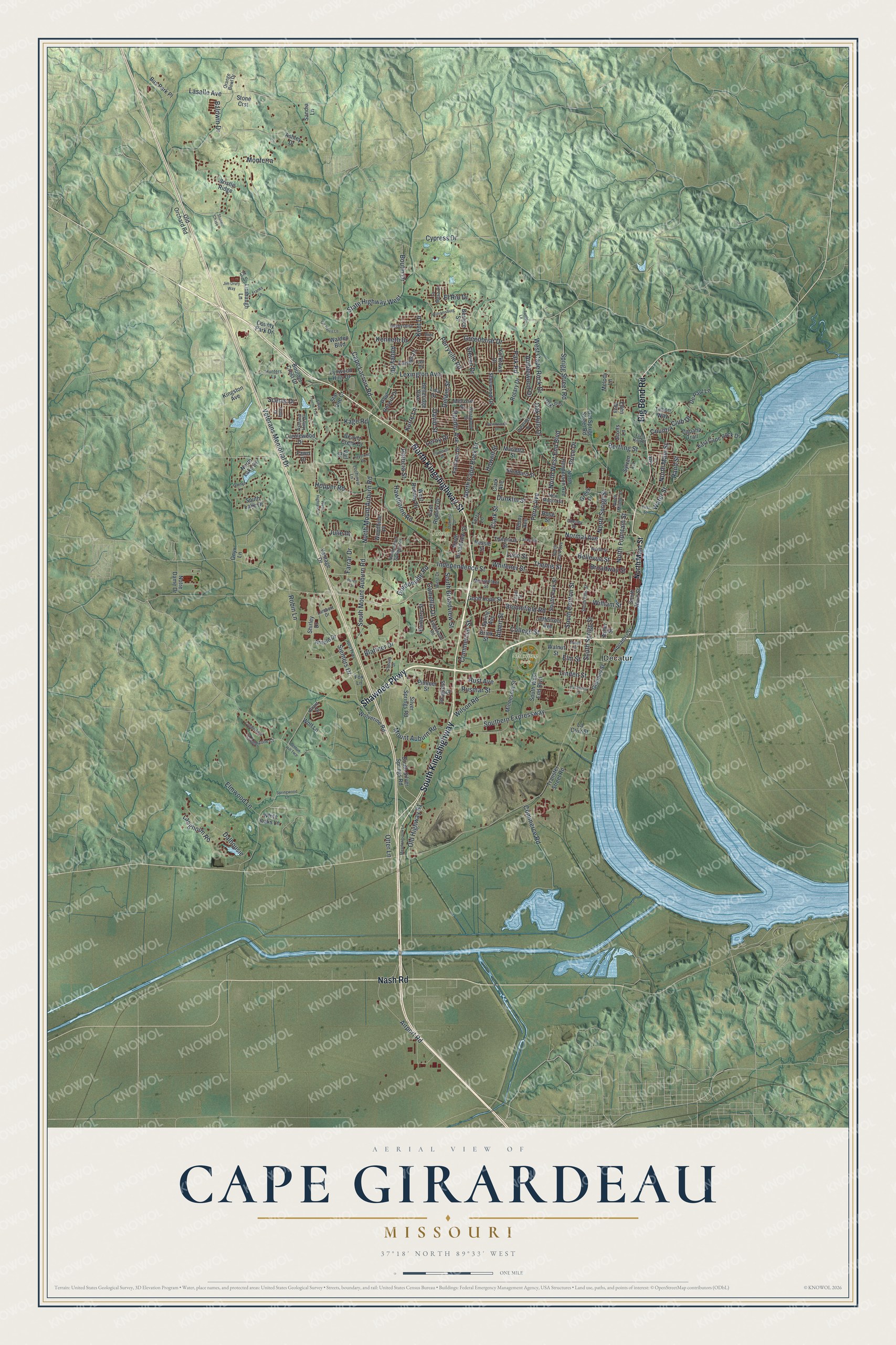
Created by KNOWOL in 2026, this print pairs green shaded hills with blue water and red building shapes. A cream border surrounds the view. The title panel reads AERIAL VIEW OF, CAPE GIRARDEAU, MISSOURI, and 37°18' NORTH 89°33' WEST.
Hang it in a living room, office, or entryway to keep home close. It's a gift for someone who grew up near Capaha Park and moved away. Open the preview and look for the streets you know. See sizes and frames for the Cape Girardeau map.