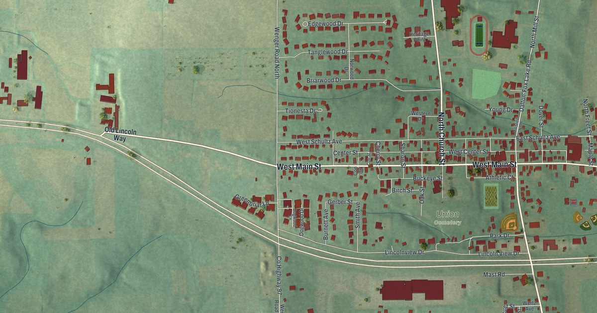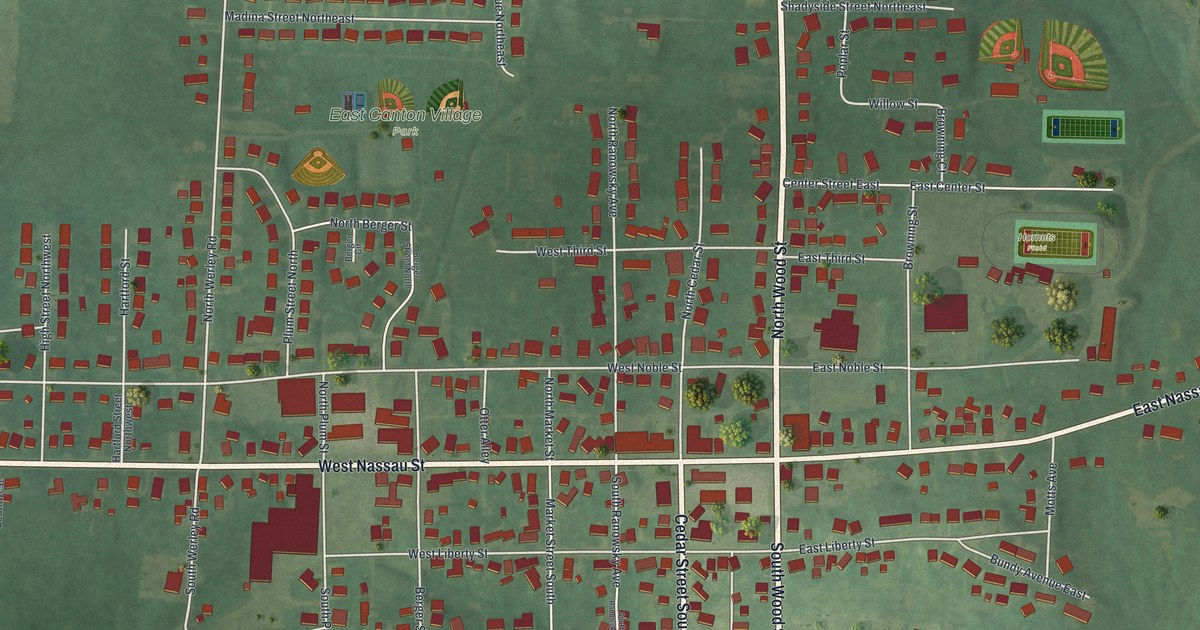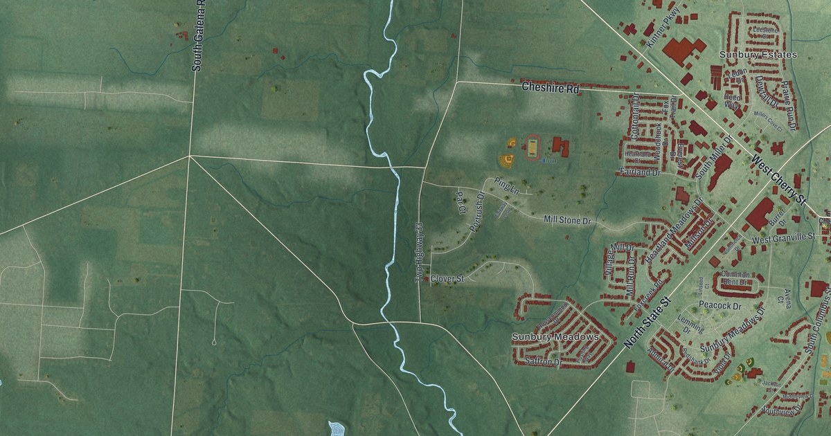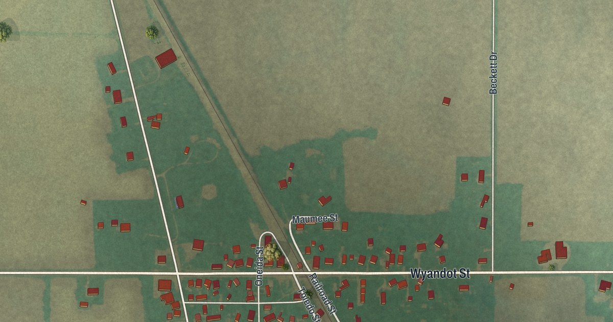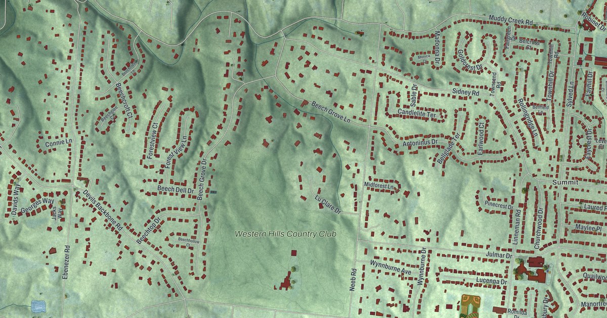
If you grew up in Covedale, look for your old street here. This modern aerial view of Covedale in Hamilton County, Ohio uses modern data with a vintage feel. Red building shapes sit among green hills and winding streets. Western Hills Country Club fills a broad green space near the center.
Covedale streets and Western Hills Country Club
On this map you'll find Cleves Warsaw Pike, Muddy Creek Road, Neeb Road, Anderson Ferry Road, Crookshank Road, Devils Backbone Road, Sidney Road, Ebenezer Road, Julmar Drive, Antoninus Drive, Summit, Western Hills Country Club, and more. Each red shape is a building, so zoom in on the preview and look for yours.
Neeb Road also gives you a link to Covedale's past. The Joseph and Cecilia Bappert House stands at 1550 Neeb Road. Its National Register nomination tells how cars changed the way families lived. Homes could be apart from work, schools, churches and shops. People could drive between them. The account also describes Esterman selling one-acre lots for families. They wanted room away from the city, within a short drive. As you look at the homes and green spaces here, that's a story to keep in mind.
Keep Covedale and Neeb Road close
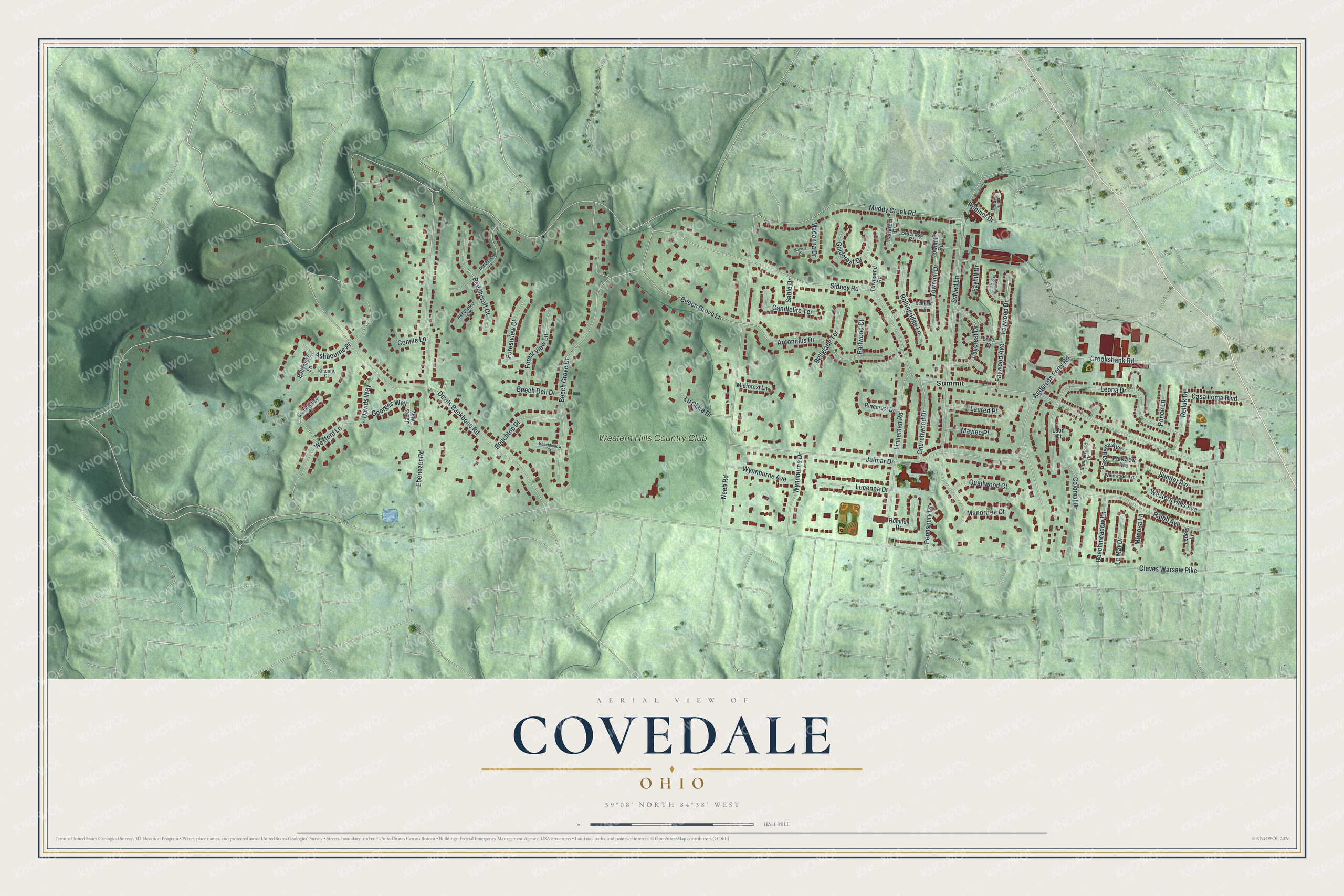
Created by KNOWOL in 2026, the print pairs green shaded hills with red building shapes, fine road lines and a cream border. The title panel reads AERIAL VIEW OF, COVEDALE, OHIO, with 39°08' NORTH 84°38' WEST below.
Hang it in a living room, home office or entryway. It's a gift for someone who grew up on Neeb Road or moved away from Covedale. Open the preview to look for a familiar street and a place you'd like to keep close. See sizes and frames for the Covedale map.