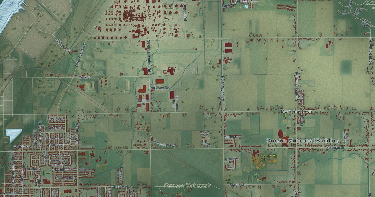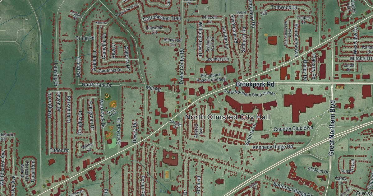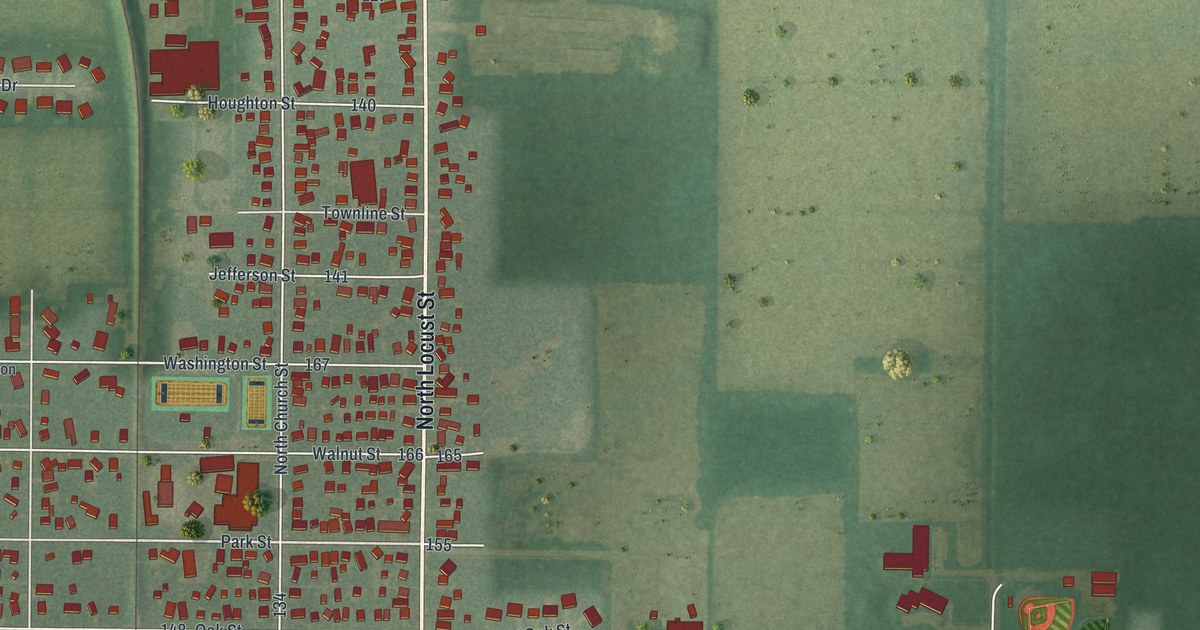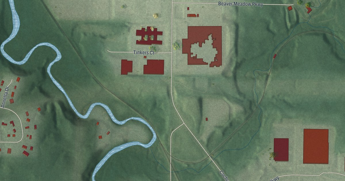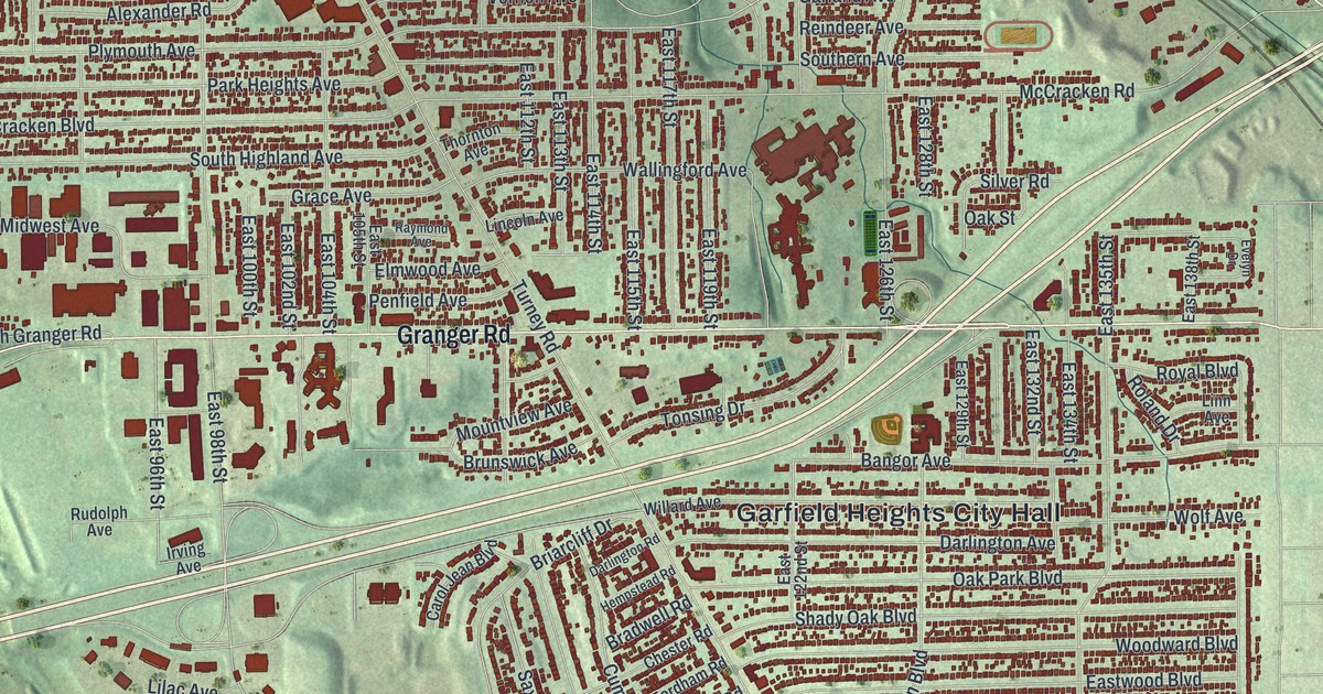
If you grew up near Turney Road and Granger Road, or still drive Broadway Avenue every day, this map was made for you. It's a modern aerial view of Garfield Heights in Cuyahoga County, Ohio, built from modern data and given a vintage feel. Rows of small red homes fill the streets from Garfield Park Reservation down to Rockside Road. A small blue pond sits near Henry, and a wide river winds through the green valley on the left side.
German Corners at Turney Road and Granger Road
On this map you'll find Turney Road, Granger Road, Broadway Avenue, Garfield Heights City Hall, Garfield Park Reservation, Calvary Cemetery, McCracken Road, Garfield Boulevard, Rockside Road, Warner Road, East 131st Street, Transportation Boulevard, and more. Each red shape is a building, so zoom in on the preview and look for yours.
Long before it was a city, this was farm country. In the 1800s, people called the corner of Turney and Granger Roads German Corners. That's the story told on an Ohio historical marker that stands there today. German settlers farmed the land around it. They started St. John Lutheran Church, with its own school and cemetery. Later the same corner was called South Newburgh Centre. On the map, look near the middle of the sheet, where Turney Road meets Granger Road.
How Turney Road and Granger Road got their names
Turney Road has had three names. First it was State Road, and then Fisher Road. At last it was named for Joseph Turney. He lived in the area and served two terms as treasurer of the state of Ohio. Granger Road is named for John Albert Granger, a major pioneer landowner here. His father, Gideon Granger, was an early investor in the Connecticut Land Company. Gideon also served as U.S. Postmaster General under Presidents Thomas Jefferson and James Madison. Near the corner, the Garfield Heights Historical Society Museum is in a house built in 1890 for the German teachers.
From Garfield Park Reservation to Rockside Road
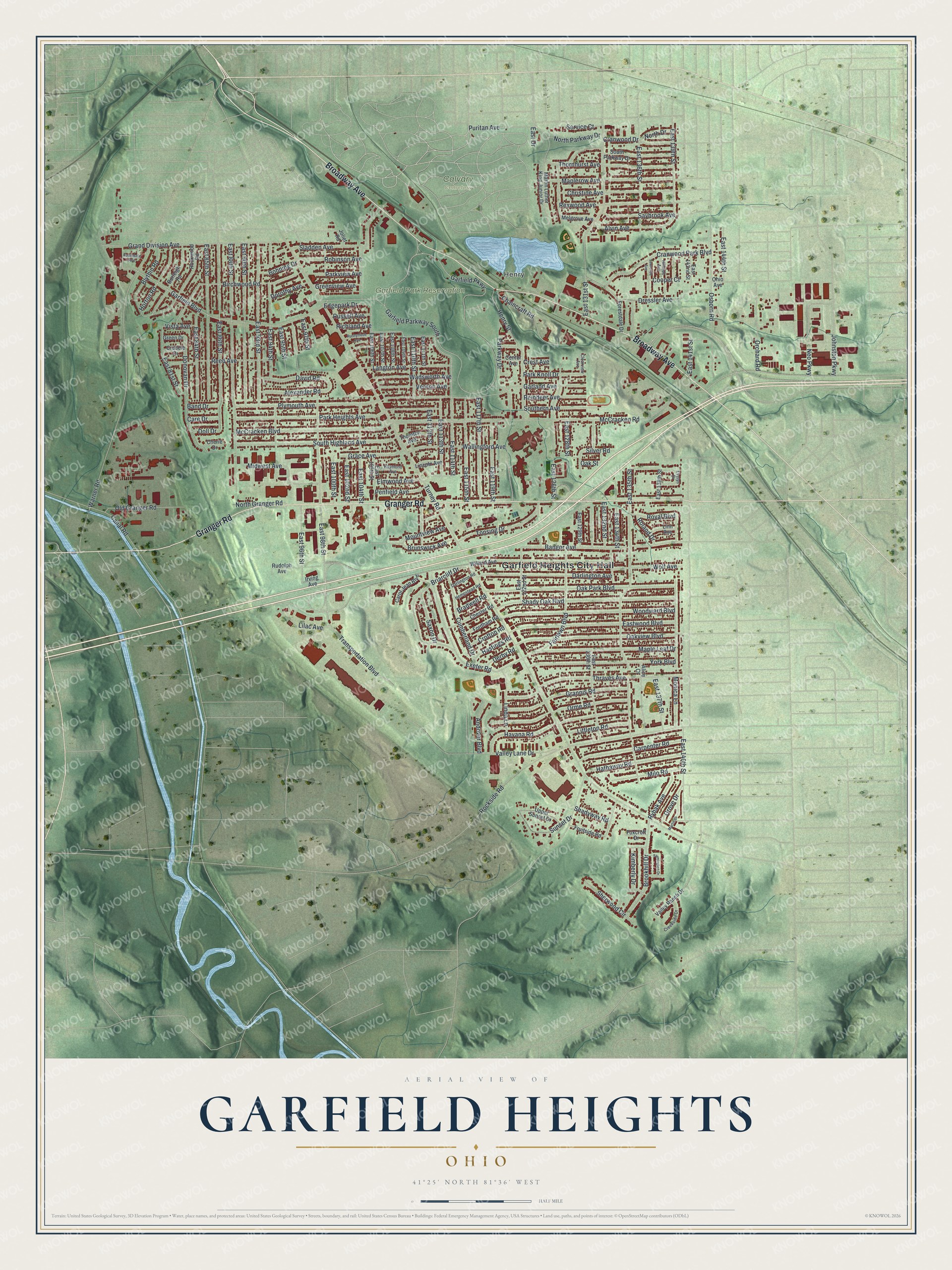
Created by KNOWOL in 2026, this print shows Garfield Heights in soft greens, with shaded hills, blue water and red buildings. The title panel reads Aerial View of Garfield Heights, Ohio, with the coordinates 41°25' North 81°36' West.
It fits a living room, a hallway or a home office. It's a kind gift for a family member who moved away but still thinks of walks in Garfield Park Reservation. Open the preview and find your street. See sizes and frames for the Garfield Heights map.