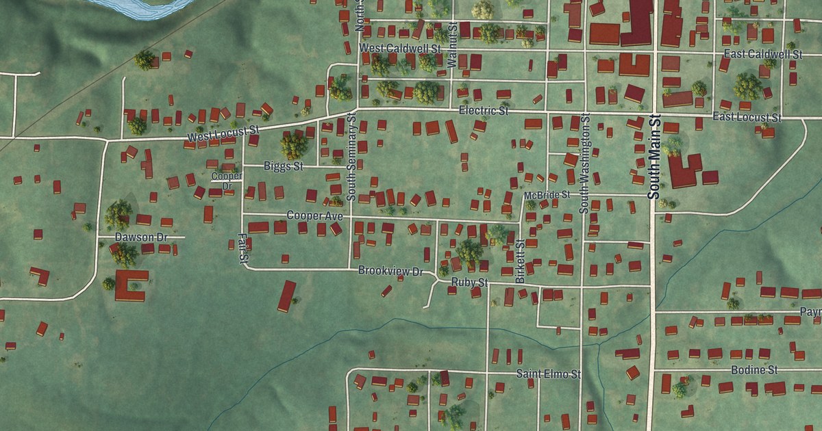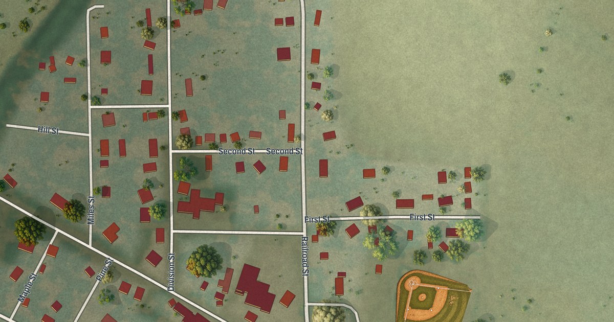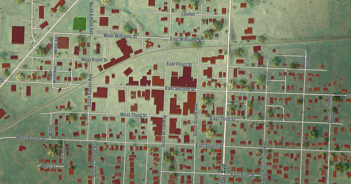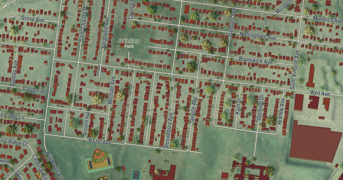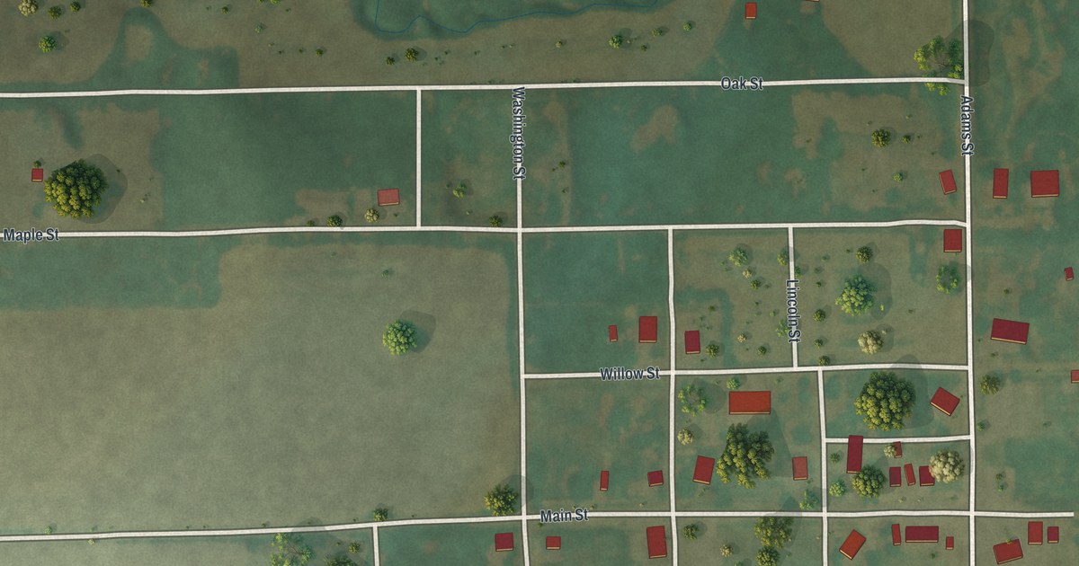
If you grew up in Gentry, have family on one of its streets, or drive State Highway YY past the village, this map shows the place you know. It's a modern aerial view of the village of Gentry in Gentry County, Missouri, made from modern data and given a vintage look. The Census Bureau counted 56 people here in 2020. The map shows the whole village grid with its buildings in red. Farm fields, tree lines and a winding creek fill the green country all around it.
Main Street, Oak Street and Adams Street in Gentry
Start where Main Street meets Adams Street on the east side of the village. Adams Street runs north and south along the edge of town, on the same line as State Highway YY. Now follow Main Street west. It crosses Harper, Lincoln and Washington Streets, which run south into the lower blocks. Keep going past the last houses. Main Street heads out through open fields to 507 Road on the left side of the sheet.
Back at Adams Street, head north. Willow Street and Maple Street branch off to the west, and Oak Street runs along the top of the village. Past Oak Street, a creek winds through low green ground. Now go south instead. Poplar Street and West Chestnut Street cross the lower blocks, and McKinley Street runs down the west side of the houses. Washington, Adams, Lincoln and McKinley Streets are all labeled in the village grid. Many of the roads are labeled, and each red shape is a building, so zoom in on the preview and look for yours.
Where Gentry County's first court met in 1845
The village of Gentry carries the same name as its county. A 1922 book on Daviess and Gentry counties prints the record of the county's very first court. Gentry County's first court met on May 5, 1845, at Daniel Sanders's house in Sandsville. The record calls it "the place designated by law for holding courts in the County of Gentry." Sandsville is separate from the village of Gentry shown on this map.
For anyone who knows Main Street in Gentry
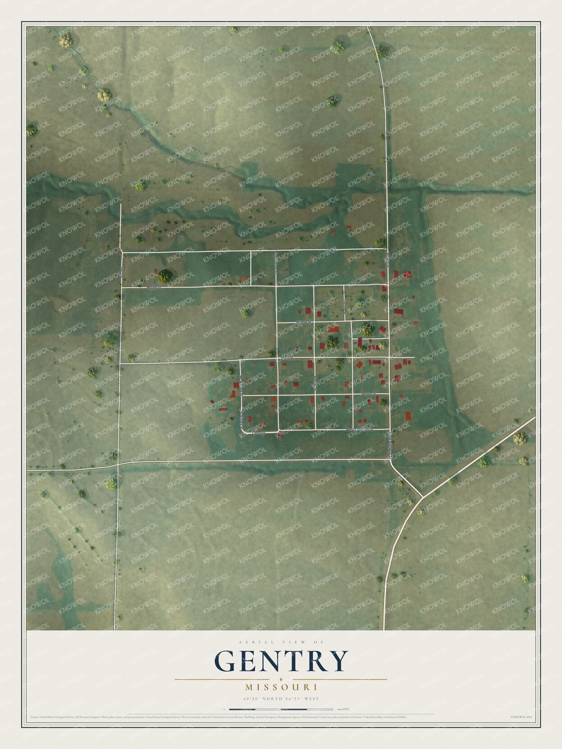
Created by KNOWOL in 2026, this map shows Gentry's streets, red buildings, fields and creek. The title panel reads "Aerial View of Gentry, Missouri" with 40°20' North, 94°25' West and a scale bar in feet.
It suits a kitchen, a den or an office wall. It's a good gift for someone who grew up near Main Street and Adams Street, or for a family with roots in Gentry County. Open the preview, zoom in and find the house you know. See sizes and frames for the Gentry map.