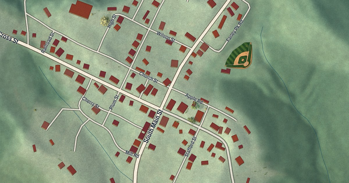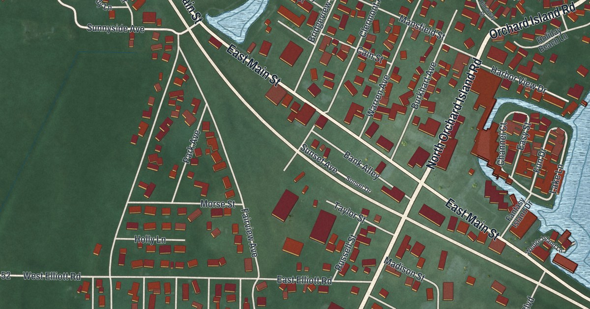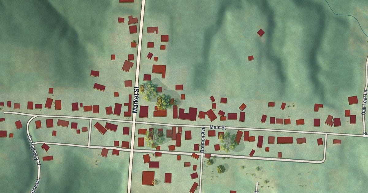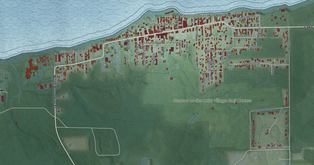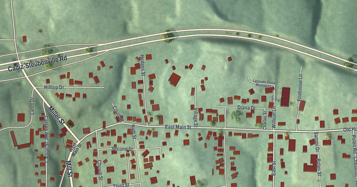
If you grew up in Hopedale, look for your old street on this print. It's a modern aerial view of Hopedale in Harrison County, Ohio, made with modern data and a vintage feel. Red buildings fill the village streets, with green hills around them.
Mill Street and Hopedale's Underground Railroad story
On this map you'll find West Main Street, East Main Street, Mill Street, Normal Street, Central Avenue, Church Street, Second Street, Third Street, Cross Street, Lahm Drive, Old Hopedale Road, Hopedale Cemetery, and more. Each red shape is a building, so zoom in on the preview and look for yours.
Hopedale's historic marker tells how the village helped people escape slavery. Cyrus McNeely, a teacher who worked to end slavery, laid out Hopedale in 1849. The village became an important stop on the Underground Railroad. People fleeing slavery in the southern states found help here.
The marker records a local tradition of four stops in the village. Three were private homes, and one was a hotel. The marker stands at Mill Street and Lahm Drive. Both street names are printed on this map, so you can find the corner that shares this part of Hopedale's past.
Keep Hopedale and Main Street close
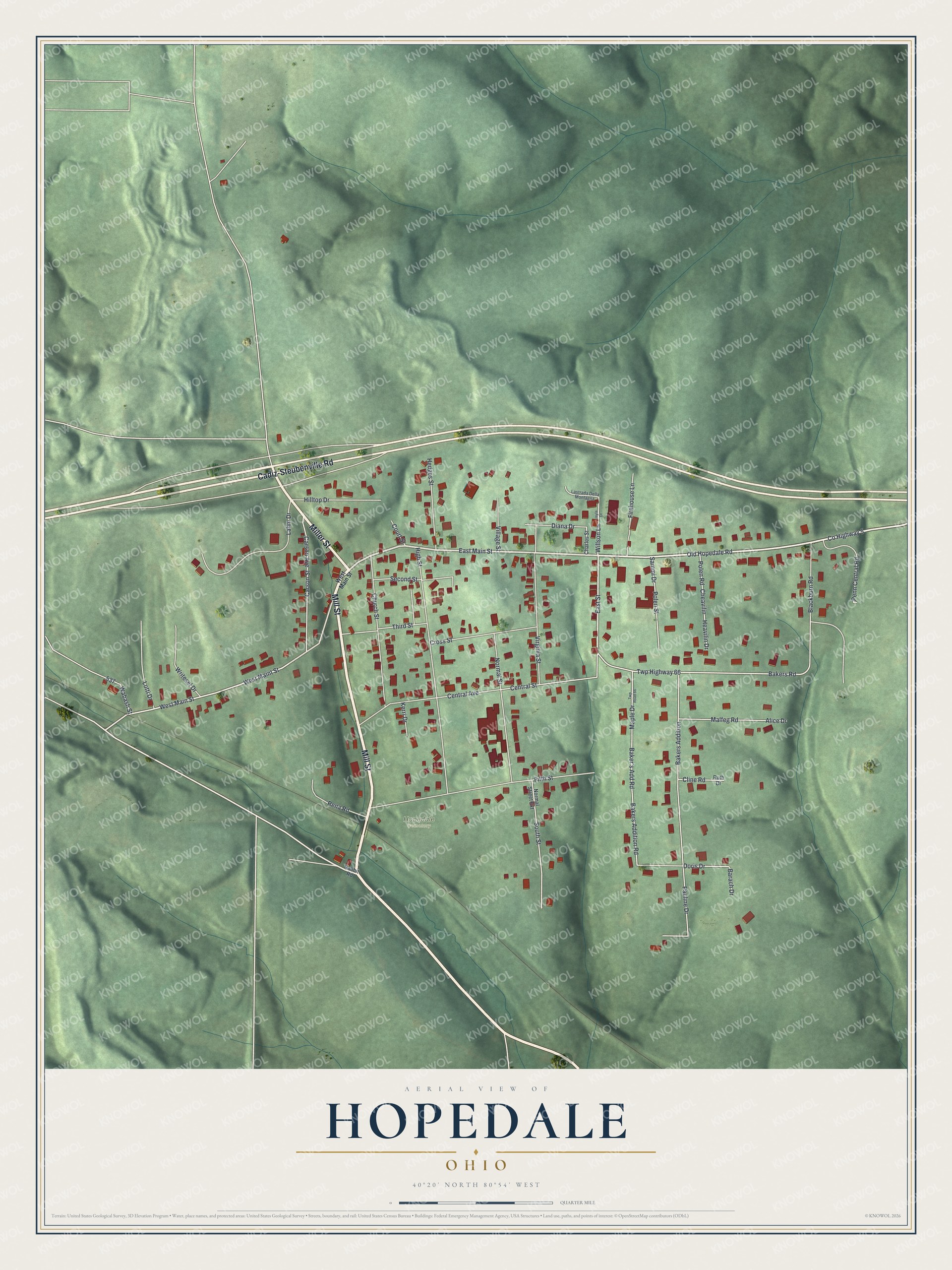
Created by KNOWOL in 2026, this print pairs green hill shading with red buildings and pale roads. A cream border surrounds the view. The title panel reads AERIAL VIEW OF HOPEDALE, OHIO, with 40°20' NORTH 80°54' WEST below.
Hang it in a living room, home office, or entryway. It's a gift for someone who grew up near Mill Street or has family in Hopedale. Open the preview and look for the streets that bring home to mind. See sizes and frames for the Hopedale map.