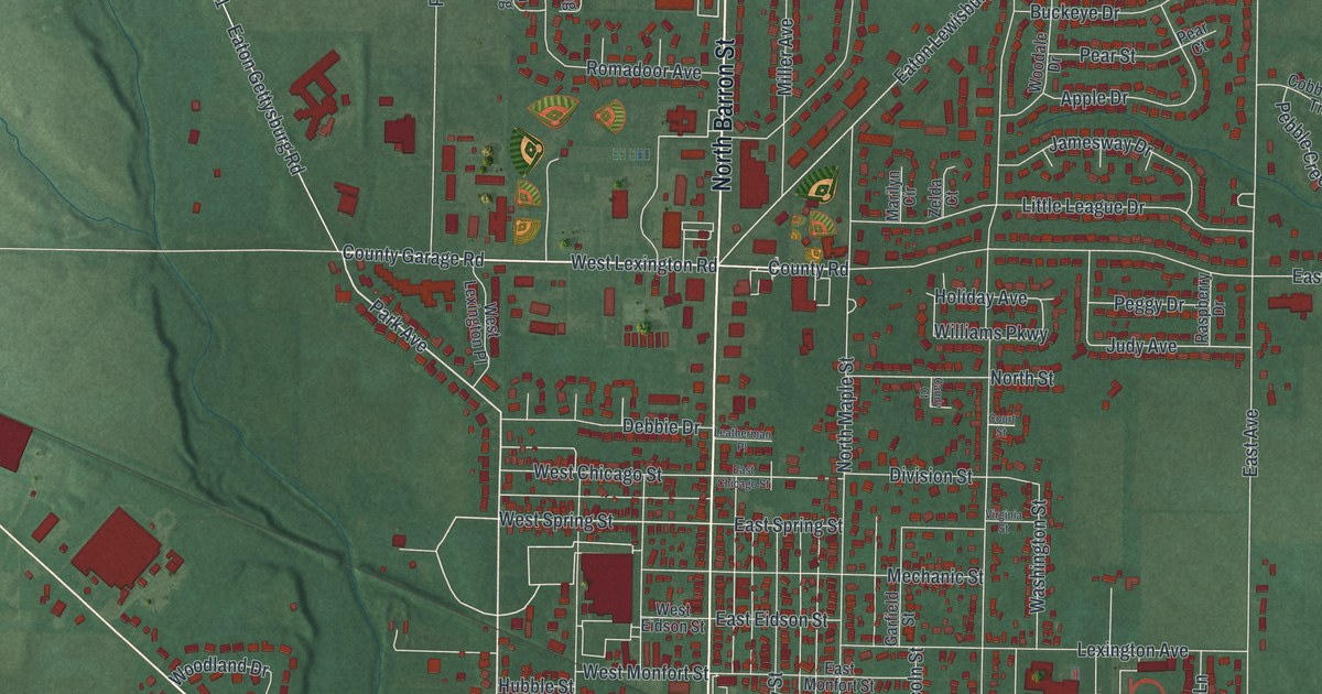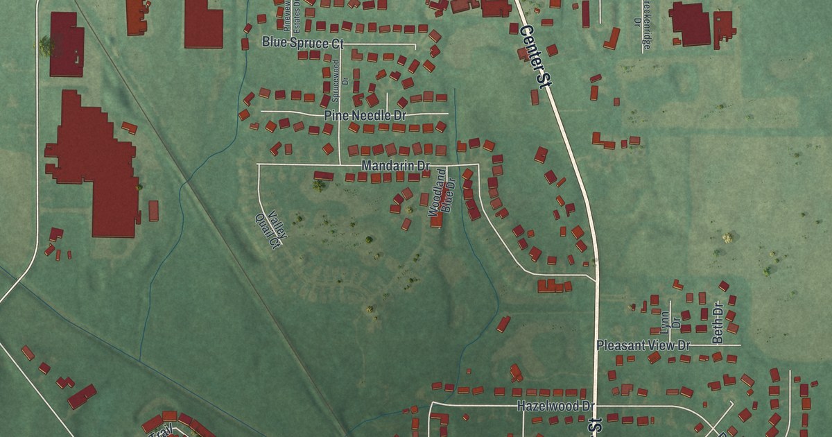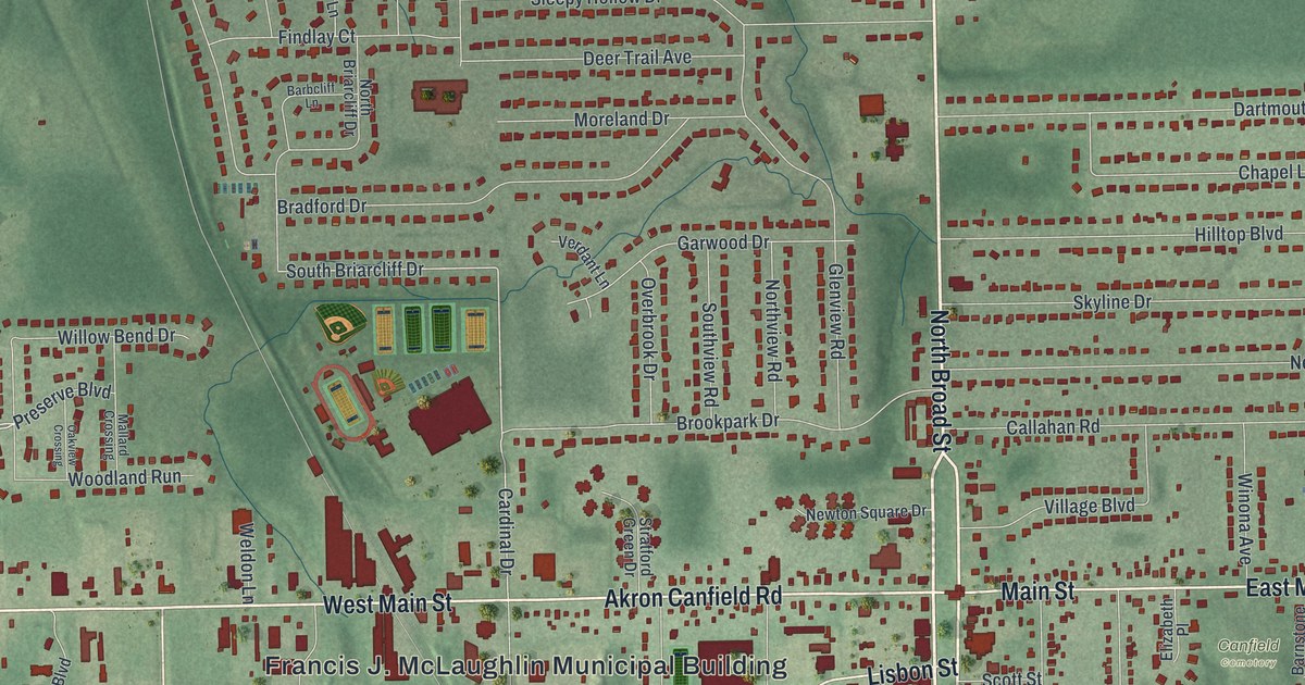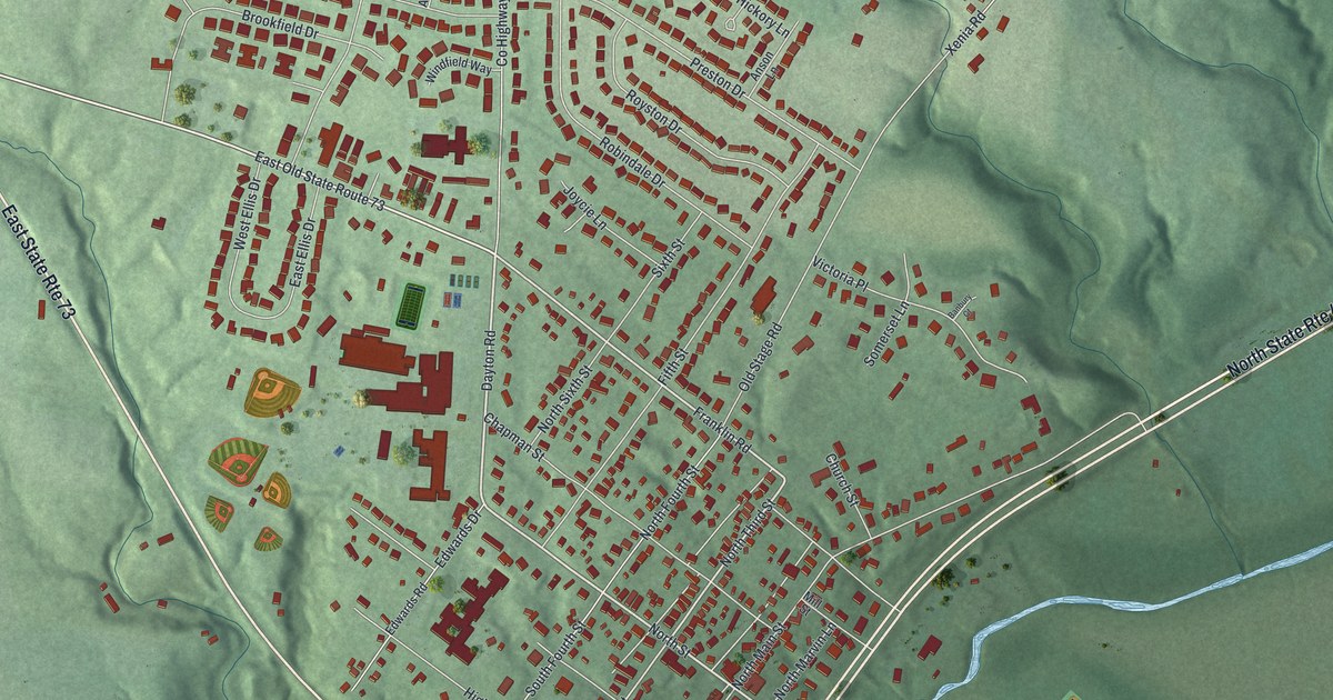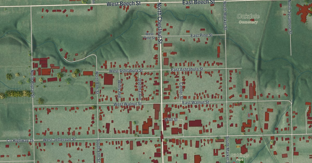
If you grew up in Jefferson, or your family still lives here, this map was made with you in mind. It's a modern aerial view of Jefferson in Ashtabula County, Ohio, built from modern data and given a soft vintage look. You'll see the village grid around North Chestnut Street and Jefferson Street, the green hills and creek valleys around town, and the buildings drawn in red.
What you'll find on the Jefferson map
On this map you'll find North Chestnut Street, South Chestnut Street, East Jefferson Street, West Jefferson Street, South Market Street, East Beech Street, Dorset Road, Jefferson Township Hall, Giddings Park, Oakdale Cemetery, West Walnut Street, East Erie Street, Jackson Street, and more. Each red shape is a building, so zoom in on the preview and look for yours.
Joshua Reed Giddings and his office on East Jefferson Street
Jefferson is home to the Ashtabula County Courthouse. It stands at the northwest corner of Jefferson and Chestnut Streets. Not far away, a small white building sits at the southeast corner of East Jefferson Street and South Market Street. It was the law office of Joshua Reed Giddings. He was born in 1795 and spent much of his youth working on his father's farm. He served in the War of 1812. Then he studied law and joined the bar in 1821. Voters sent him to the Ohio House in 1826.
In 1837, he went to Congress as a Whig. He quickly became a firm foe of slavery, says the Ohio History Connection marker at his office. He called for an end to slavery and to the slave trade inside the country. In 1854 he joined the Republican Party. He helped shape its platform at the conventions of 1856 and 1860. President Abraham Lincoln then named him consul general to Canada. He served there until he died in 1864. To find the office, look where East Jefferson Street meets South Market Street.
Keep Chestnut Street and Jefferson Street close
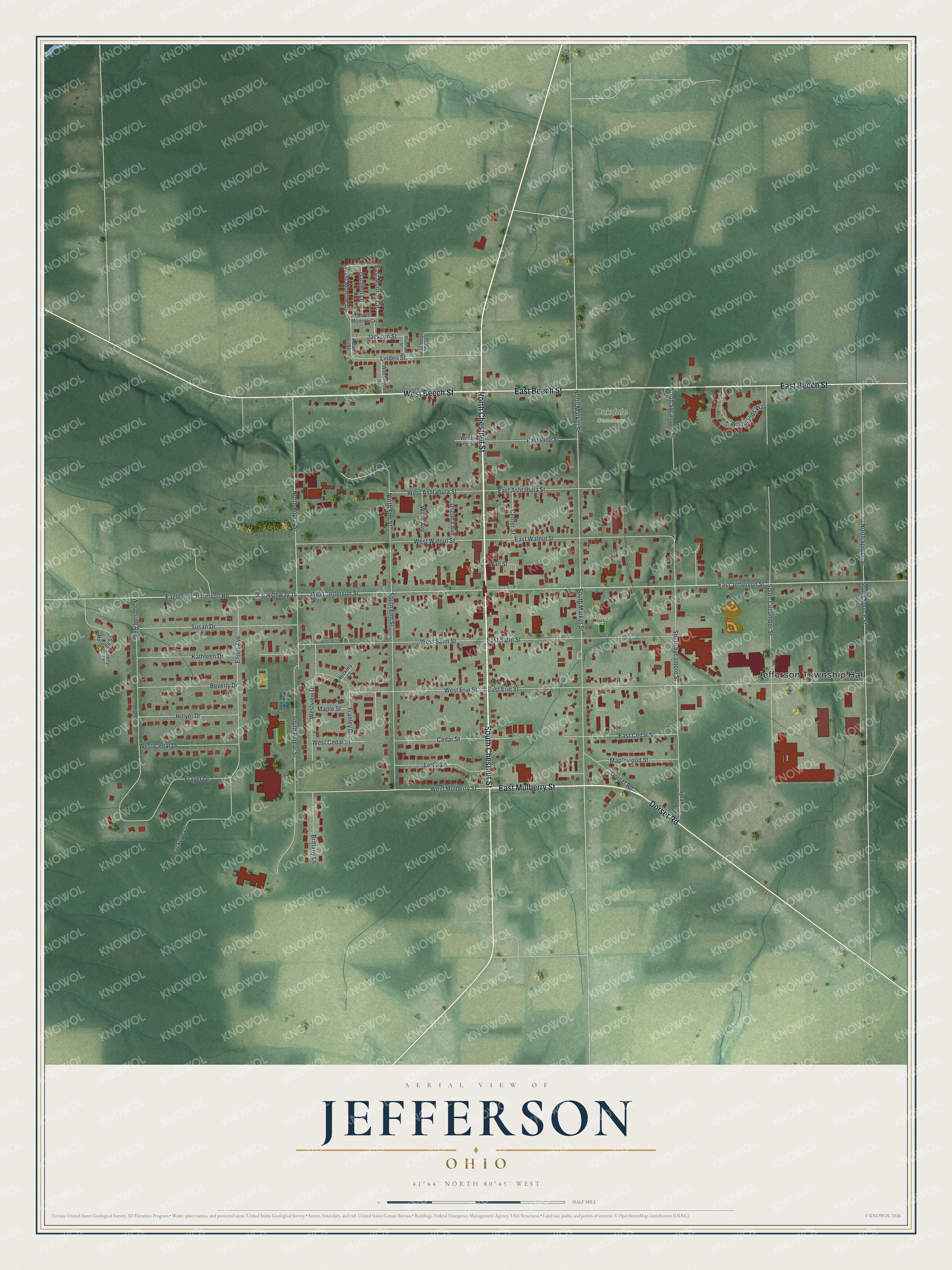
Created by KNOWOL in 2026, this print shows Jefferson from above in soft greens, with the hills and creek valleys shaded and the buildings in deep red. Street names run along the grid in small dark type. The cream title panel reads Aerial View of Jefferson, Ohio, with 41°44' North 80°45' West printed below.
It fits a front hall, a home office or a family room. It makes a good gift for someone who grew up near Giddings Park and has since moved away. Open the preview and find your street. See sizes and frames for the Jefferson map.