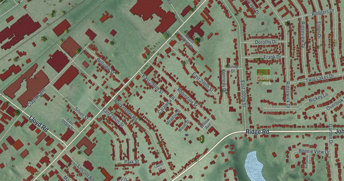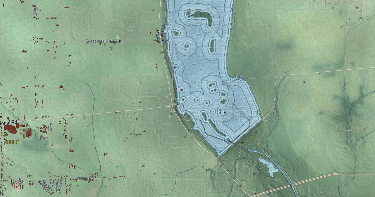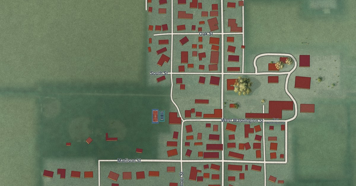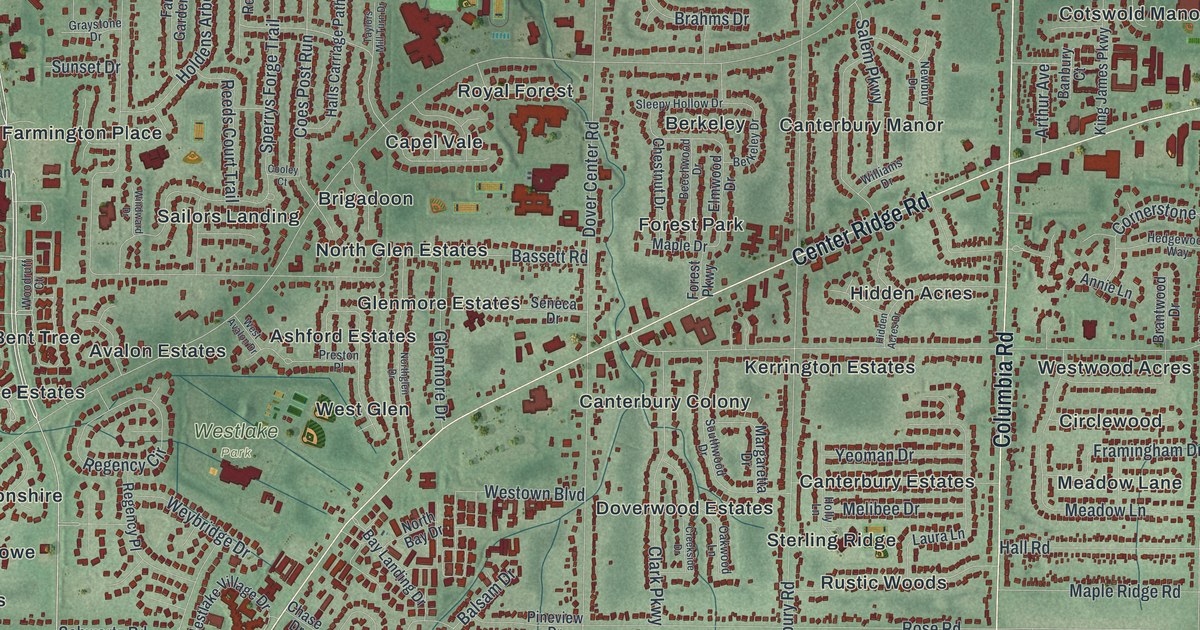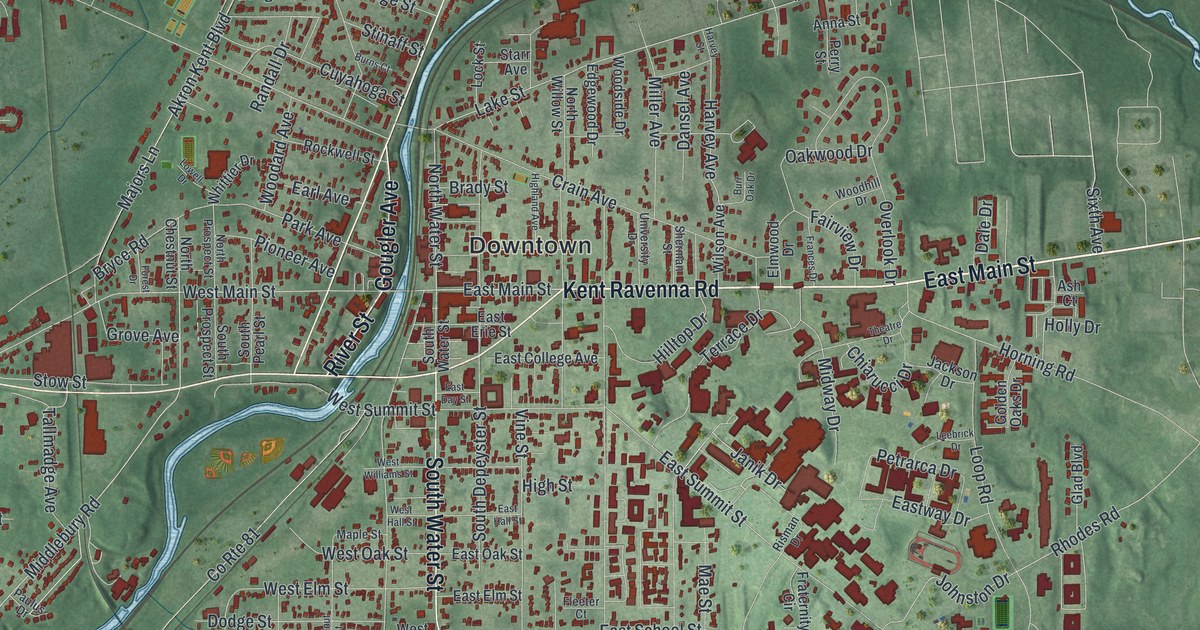
If you went to Kent State or grew up near East Main Street, this map has the streets you know. It's a modern aerial view of Kent in Portage County, Ohio, made from modern data and given a vintage look. Downtown sits near the center, and a winding blue river cuts right through town. More than 10,000 red buildings fill the blocks around it. Soft green hills spread out on every side, with blue lakes in the upper right corner.
Downtown Kent, East Main Street and more
On this map you'll find Downtown, East Main Street, West Main Street, North Water Street, South Water Street, River Street, Gougler Avenue, Midway Drive, Hilltop Drive, Campus Center Drive, East Summit Street, Mogadore Road, Fairchild Avenue, Lake Street, Standing Rock Drive, and more. Each red shape is a building, so zoom in on the preview and look for yours.
The Kent State marker on Midway Drive
Kent State University is a big part of Kent's story, and so is May 1970. An Ohio History Connection marker at 300 Midway Drive tells the story. In 1968, Richard Nixon won the presidency partly on a promise to end the Vietnam War. Then on April 30, 1970, he announced the invasion of Cambodia. Protests broke out on college campuses. On Friday, May 1, an anti-war rally was held on the Commons at Kent State. Protesters called for another rally on Monday, May 4. That night there was trouble in downtown Kent. City officials asked Governor James Rhodes to send the Ohio National Guard. Troops came to campus Saturday evening after an ROTC building was set on fire. The marker continues on its other side. You can find Midway Drive and Hilltop Drive on the campus side of the map, east of Downtown.
Old buildings on Main Street and Gougler Avenue
Kent also keeps many old buildings on the National Register. The Franklin Hotel stands at 176 East Main Street. The Masonic Temple is at 409 West Main Street. On Gougler Avenue, you'll find the old Franklin Township Hall and the L.N. Gross Company Building. The Kent Industrial District, near Main Street and River Street, has been listed since 1974. Up on Hilltop Drive, the Ohio State Normal College at Kent is listed too. The newest listing is the Kentway Apartments on East Summit Street, added in 2026.
A Kent map for home or a Kent State grad
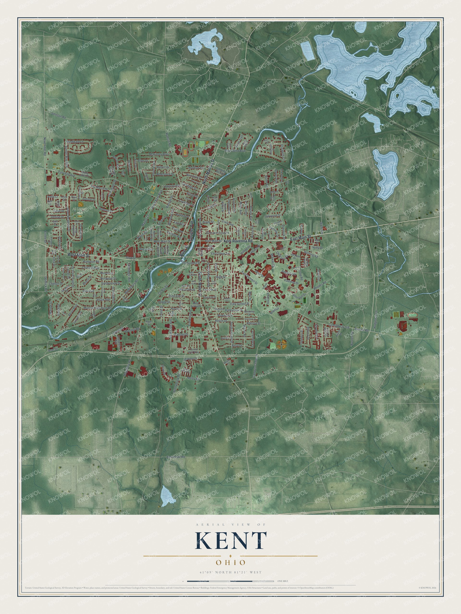
Created by KNOWOL in 2026, this print shows Kent from above in soft greens, with red buildings and clear blue water. The title panel reads Aerial View of Kent, Ohio, with the coordinates 41°09' North 81°21' West.
It fits a living room, a home office or a first apartment. It's a good gift for a Kent State grad who still pictures Downtown and East Main Street, or for family who moved away. Open the preview and find the street you lived on. See sizes and frames for the Kent map.