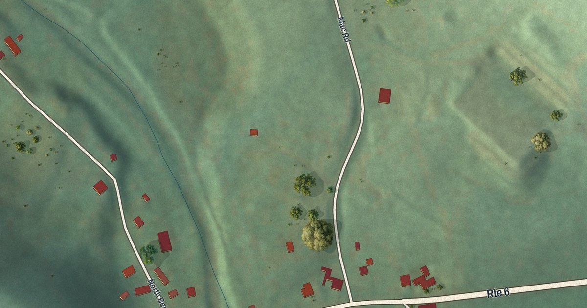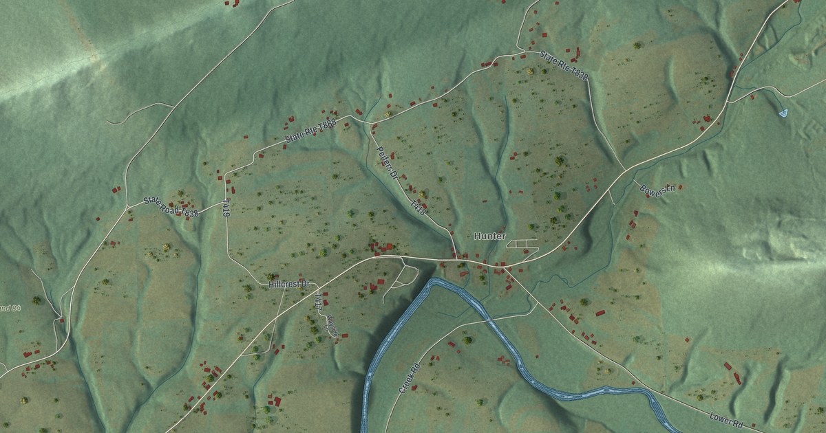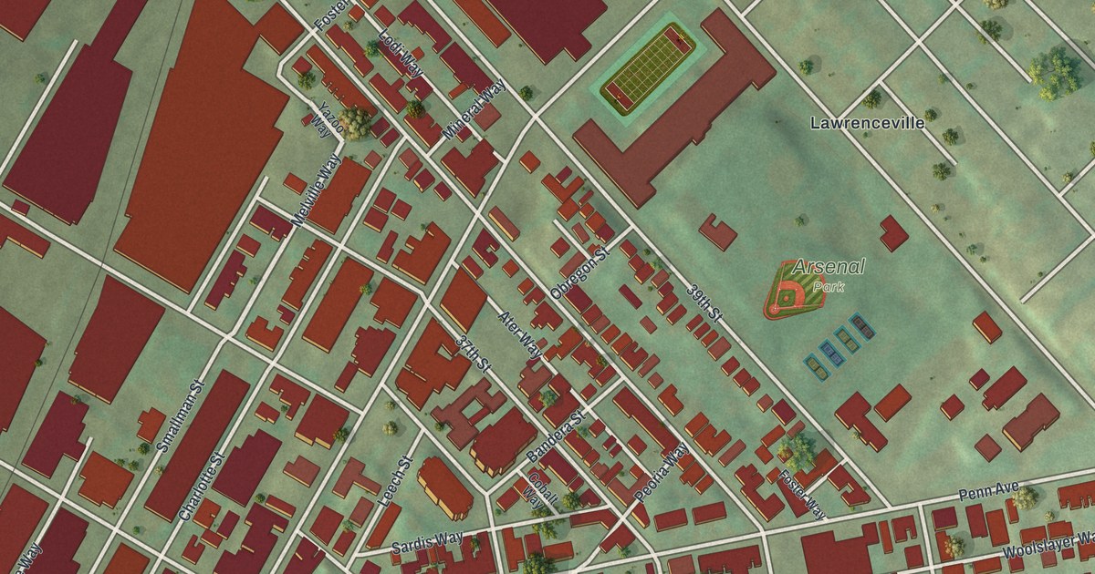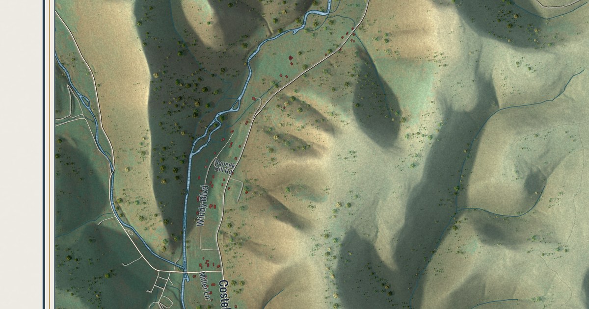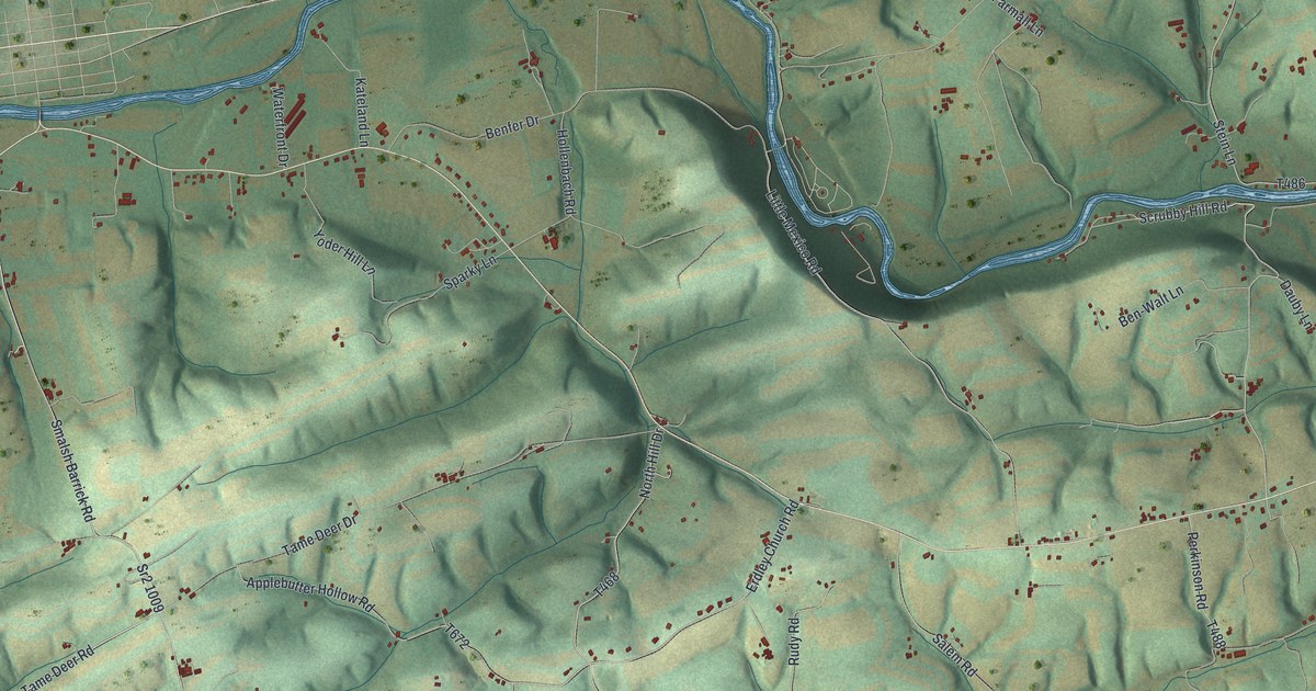
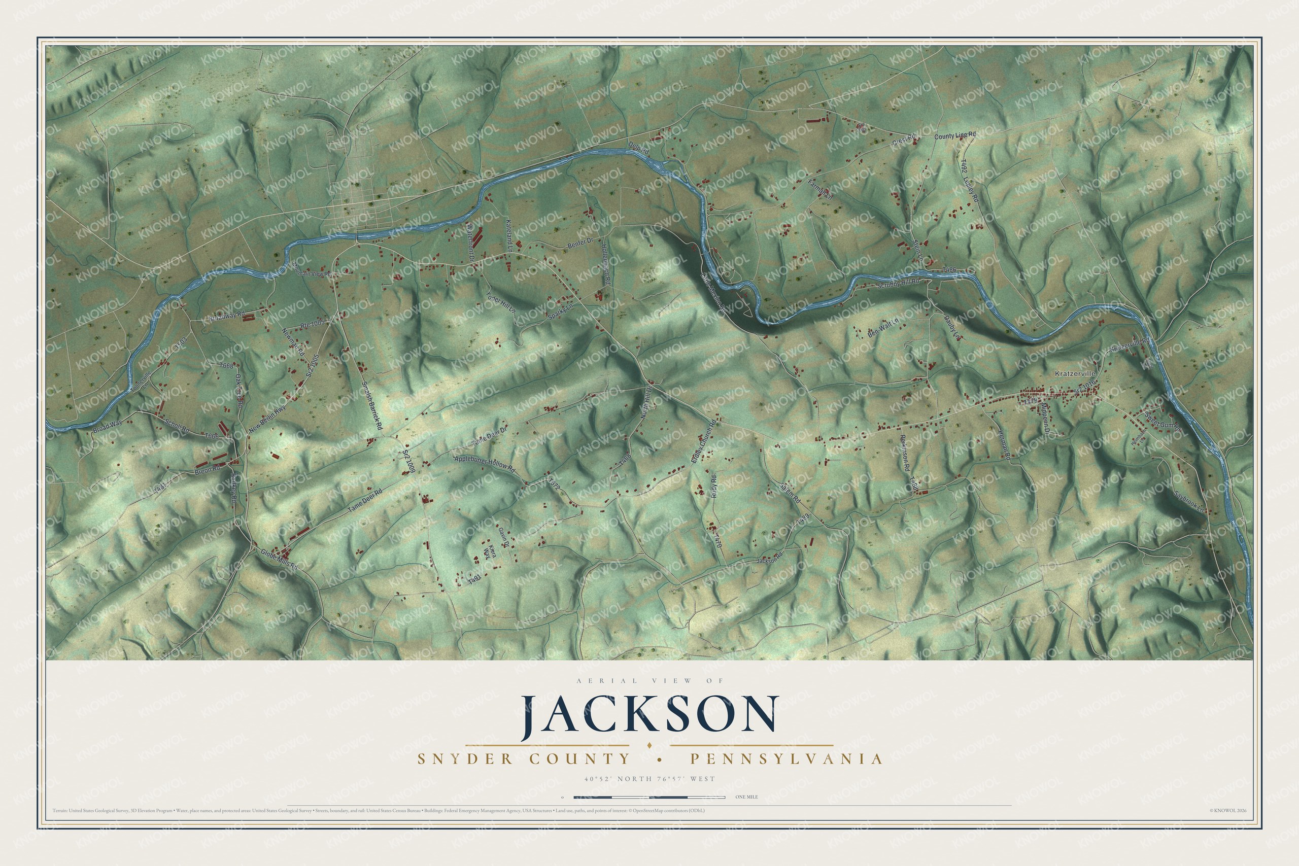
If you've got family in Jackson Township, look for their road on this print. It's a modern aerial view of Jackson in Snyder County, Pennsylvania, built from USGS terrain and water data, Census streets, and FEMA building footprints, with a vintage feel. Green hills, winding blue water, and red building shapes fill the view. Kratzerville's line of red buildings stands out on the right side of the view.
Kratzerville and Jackson's country roads
On this map you'll find Kratzerville, Kratzerville Road, New Berlin Highway, Jackson Road, Erdley Church Road, Globe Mills Road, Tame Deer Road, Applebutter Hollow Road, Scrubby Hill Road, Little Mexico Road, and more. Each red shape is a building, so zoom in on the preview and look for yours.
Kratzerville, named on the print, was the birthplace of Dr. J. O. Wagner. The 1886 county history notes that he was born in this village. He graduated from the College of Physicians and Surgeons of Baltimore on March 4, 1880. He first set up in Kratzerville after his training.
A Jackson print with Kratzerville in view
Names on this map
These names are printed on this map.
Places: Kratzerville.
Streets and roads: Sr2 1005, Tame Deer Road, Route 1005, Scrubby Hill Road, Sr2 1009, North Hill Drive, Midpenn Drive, Stein Lane, Kratzerville Road, Herman Road, Erdley Church Road, Little Mexico Road.
More street names, A to Z
Applebutter Hollow Road, Ben-Walt Lane, Benfer Drive, Breon Road, Broad Way, Broadway Road, Carl Lane, County Line Road, Crest Road, Dauby Lane, Delp Road, Farmall Lane, Gavin Drive, Globe Mills Road, Heimbach Lane, Hollenbach Road, Jackson Road, Kateland Lane, Kiera Way, Lepley Road, Mountain View Road, New Berlin Highway, Newman Road, Oak Tree Road, Perkinson Road, Rodkey Road, Rudy Road, Salem Road, Saybrook Lane, Scholl Road, Smalsh Barrick Road, Sparky Lane, Sr2 1016, Sr2 2002, Sweet Gum Road, Tame Deer Drive, Toonerville Lane, Waterfront Drive, Yoder Hill Lane.
Created by KNOWOL in 2026, this print pairs soft green hills with blue waterways and small red buildings. A cream border surrounds the view. The title panel reads AERIAL VIEW OF JACKSON, SNYDER COUNTY • PENNSYLVANIA, with 40°52' NORTH 76°57' WEST below.
Hang it in a living room, home office, or entryway. It's a thoughtful gift for someone with family in Kratzerville, or someone who's moved away from Jackson. Open the preview and take a closer look at the roads around home. See sizes and frames for the Jackson, Snyder County map.