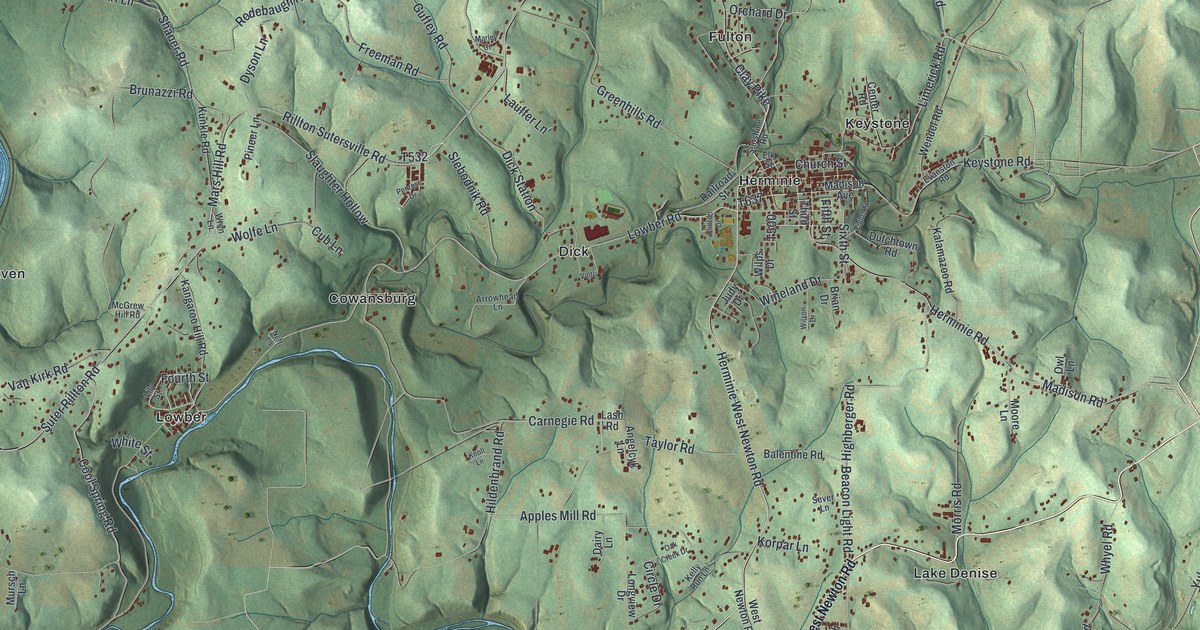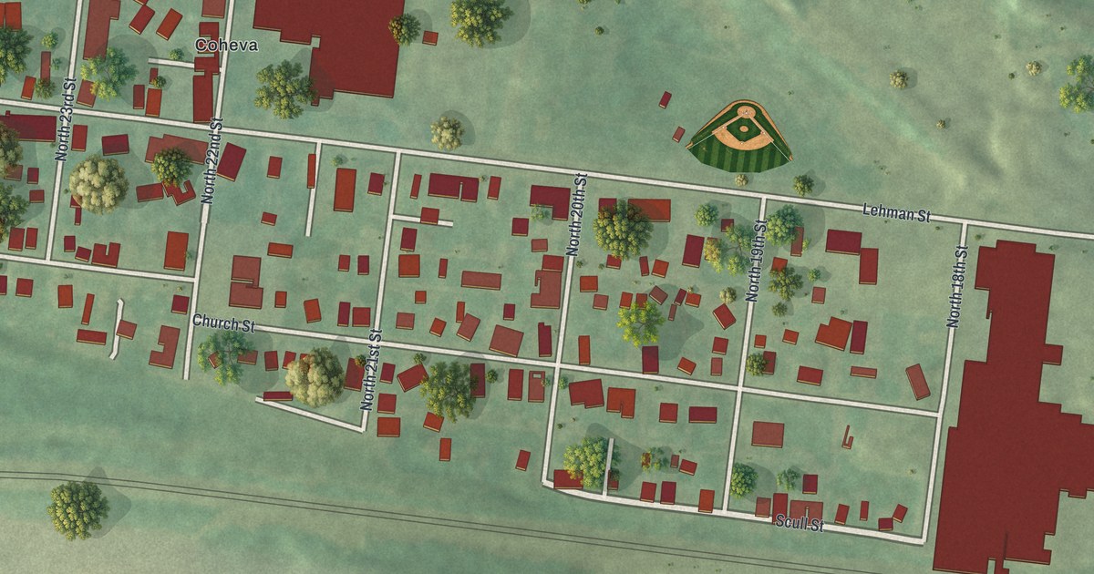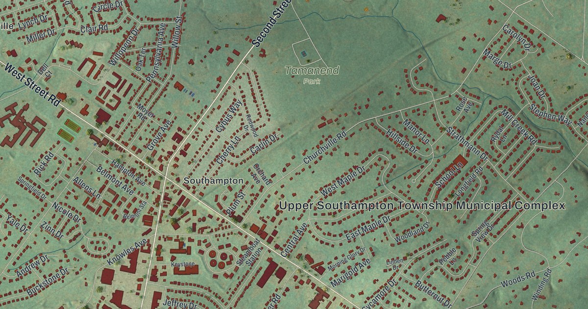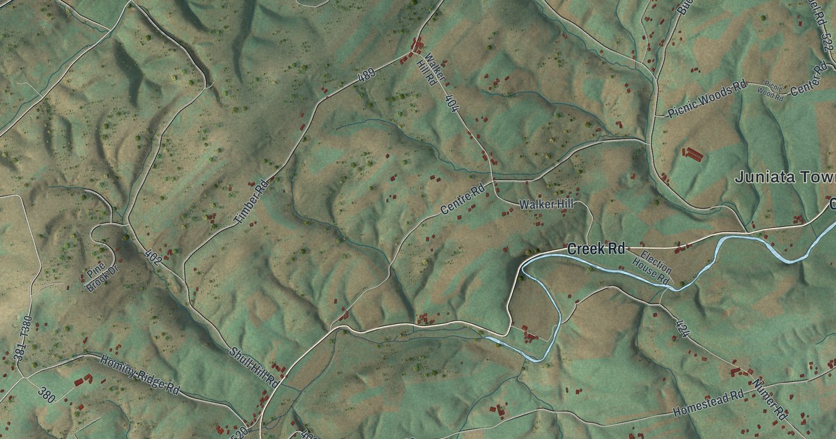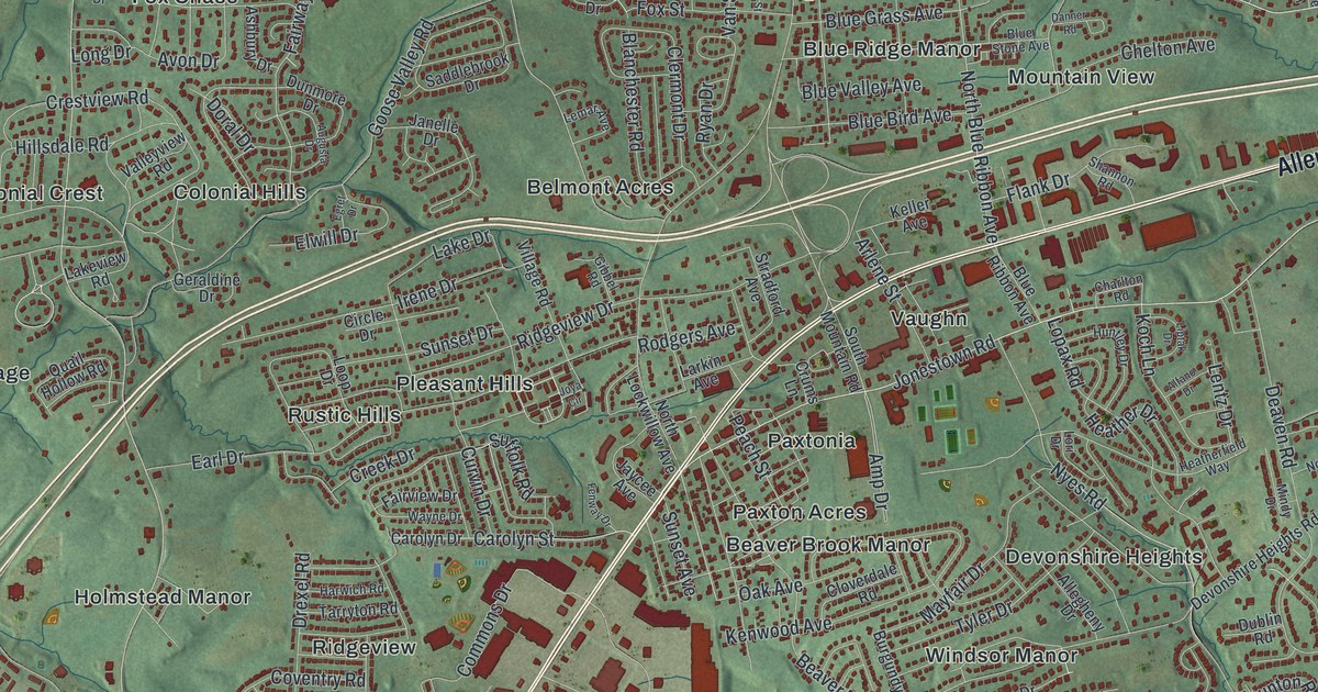
If you grew up in Colonial Park, Paxtonia or Linglestown, this map has your streets on it. It's a modern aerial view of Lower Paxton Township in Dauphin County, Pennsylvania, made from modern data and given a vintage look. A long green ridge fills the top edge. Below it, thousands of small red buildings fill the neighborhoods from Linglestown down to Twin Lakes.
Patton's Fort and the Paxton Rangers on Linglestown Road
On this map you'll find Linglestown Road, Jonestown Road, Allentown Boulevard, Union Deposit Road, Colonial Road, Locust Lane, Devonshire Road, Paxtonia, Colonial Park, Linglestown, Koon's Park, Lingle Park, Twin Lakes, Shoops Cemetery, and more. Each red shape is a building, so zoom in on the preview and look for yours.
Lower Paxton's story goes back to the frontier. A state marker stands where Linglestown Road meets Patton Road. It says Patton's Fort stood nearby. The fort was a station of the Paxton Rangers. From 1756 to 1763, the rangers guarded the gaps and farms along the Blue Mountains. Their watch ran all the way from the Susquehanna River to Swatara Creek. A second marker on Linglestown Road tells of Barnett's Fort. It was Joseph Barnett's log house, a frontier refuge in those same years. His son William was taken in 1756 and wasn't recovered until 1763, by Col. Henry Bouquet. The Pennsylvania Historical and Museum Commission dedicated both markers in 1947.
The Paxton Riflemen and a Valley Road farmhouse
A marker along U.S. 22 honors the Paxton Riflemen. Led by Capt. Matthew Smith, a company from Paxton Township marched to Quebec, Canada. They joined the attack on that city on December 31, 1775. One old farmhouse still stands here, too. The Abraham Bomberger Farmhouse at 4130 Valley Road joined the National Register of Historic Places in 2026.
From Koon's Park to Lingle Park
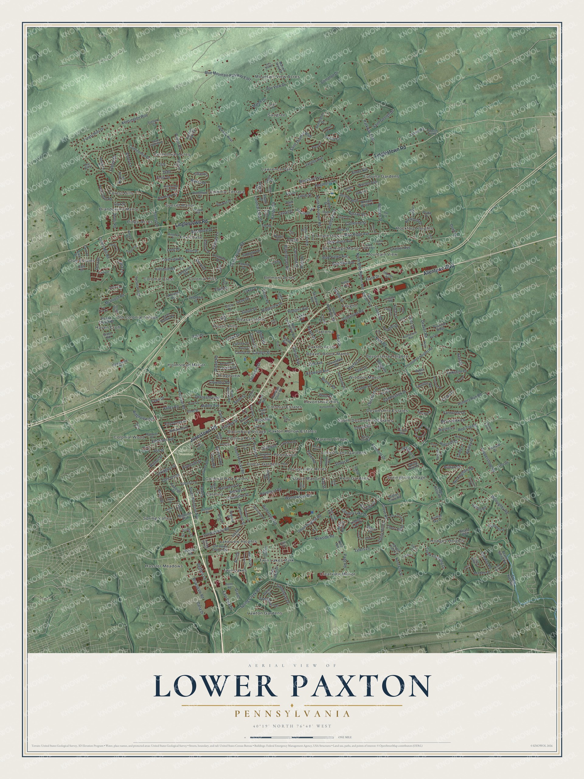
Created by KNOWOL in 2026, the print shows the whole township in soft greens, with shaded hills and buildings marked in deep red. The title panel at the bottom reads AERIAL VIEW OF LOWER PAXTON, PENNSYLVANIA, with the coordinates 40°19' NORTH 76°48' WEST.
It fits a den, a hallway or a home office. It's a good gift for someone who grew up near Koon's Park or Lingle Park, or who moved away from Linglestown Road years ago. Open the preview and find the street where you grew up. See sizes and frames for the Lower Paxton map.